The best road cycling routes around Dún Laoghaire–Rathdown
4.5
(597)
24,108
riders
149
rides
Road cycling around Dún Laoghaire–Rathdown offers a diverse landscape, characterized by its extensive coastline along Dublin Bay and the Irish Sea, and its proximity to the Dublin Mountains. The region features a network of on-road and dedicated cycle paths, providing varied terrain from flat coastal routes to more challenging ascents into the hills. Green spaces and parks are integrated into many routes, offering low-traffic options.
Best road cycling routes around Dún Laoghaire–Rathdown
- The most popular road cycling route is Coliemore Harbour loop from Dundrum, an 18.2 miles (29.3 km) trail that takes 1 hour 21 minutes to complete. This route offers coastal views and passes through charming towns.
- Another top favourite among local road cyclists is Seapoint Beach – Samuel Beckett Bridge loop from Seapoint, an easy 29.8 miles (47.9 km) path. This route follows the coastline, providing flat sections ideal for steady riding.
- Local road cyclists also love the Killakee Viewpoint – Sally Gap loop from Sydney Parade, a 52.7 miles (84.9 km) trail leading through the foothills of the Dublin Mountains, often completed in about 4 hours 17 minutes.
- Road cycling around Dún Laoghaire–Rathdown is defined by its scenic coastal paths, urban greenways, and the challenging ascents towards the Dublin Mountains. The network offers options for different ability levels, from easy coastal spins to demanding hill climbs.
- The routes in Dún Laoghaire–Rathdown are highly rated by the komoot community with an average score of 4.5 stars from over 100 reviews. More than 8,000 road cyclists have used komoot to explore Dún Laoghaire–Rathdown's varied terrain.
Last updated: October 16, 2026
4.8
(4)
9
riders
29.3km
01:21
290m
290m
Easy road ride. Great for any fitness level. Mostly well-paved surfaces and easy to ride.
4.4
(23)
775
riders
47.1km
01:53
110m
110m
Easy road ride. Great for any fitness level. Mostly well-paved surfaces and easy to ride.

5.0
(22)
619
riders
84.9km
04:12
1,320m
1,320m
Hard road ride. Very good fitness required. Mostly well-paved surfaces and easy to ride.
4.4
(5)
445
riders
133km
06:31
1,990m
1,990m
Hard road ride. Very good fitness required. Mostly well-paved surfaces and easy to ride.
5.0
(5)
393
riders
83.8km
03:29
350m
350m
Moderate road ride. Good fitness required. Mostly well-paved surfaces and easy to ride.
5.0
(5)
414
riders
101km
04:50
1,340m
1,340m
Hard road ride. Very good fitness required. Mostly well-paved surfaces and easy to ride.
4.7
(7)
243
riders
27.6km
01:17
310m
310m
Moderate road ride. Good fitness required. Mostly well-paved surfaces and easy to ride.
3.8
(4)
227
riders
89.0km
03:53
690m
690m
Moderate road ride. Good fitness required. Mostly well-paved surfaces and easy to ride.
3.8
(4)
215
riders
84.6km
03:41
680m
680m
Moderate road ride. Good fitness required. Mostly well-paved surfaces and easy to ride.
5.0
(7)
293
riders
44.5km
02:16
680m
680m
Moderate road ride. Good fitness required. Mostly well-paved surfaces and easy to ride.
Get access to more routes and recommendations from other explorers.
Already have an account?
Our route recommendations are based on thousands of hikes, rides, and runs completed by other people on komoot.
Start today with a free account
Your next adventure awaits.
Popular around Dún Laoghaire–Rathdown
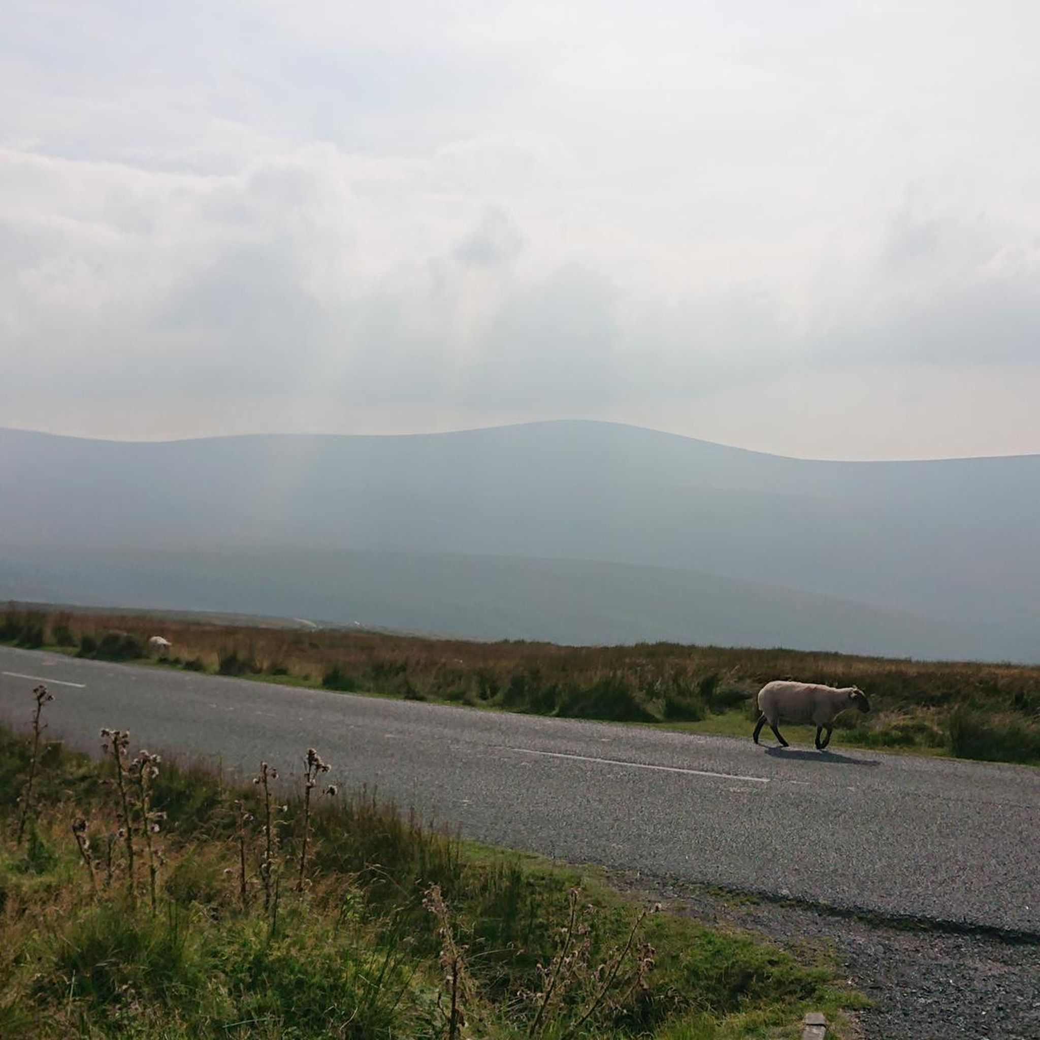
Road Cycling Routes around Carrickgollogan Wood
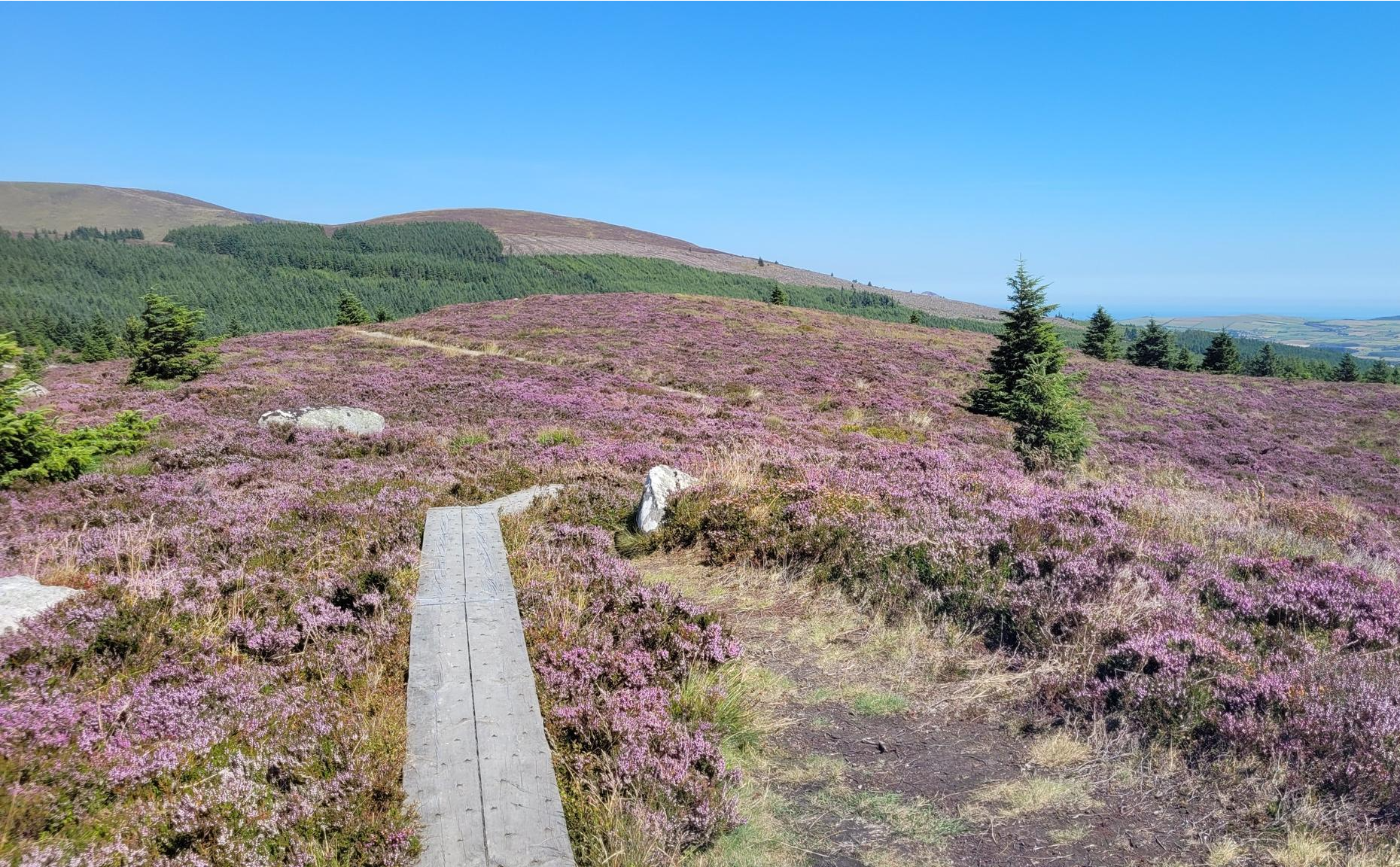
Running the Wicklow Way – From the city to the mountains
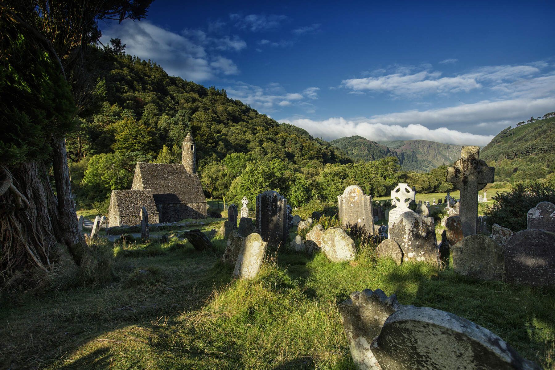
The Wicklow Way — discover Ireland's east
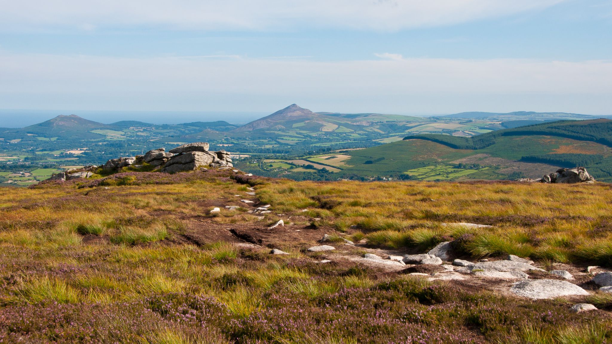
Dublin Mountains Way – hiking from city to summit
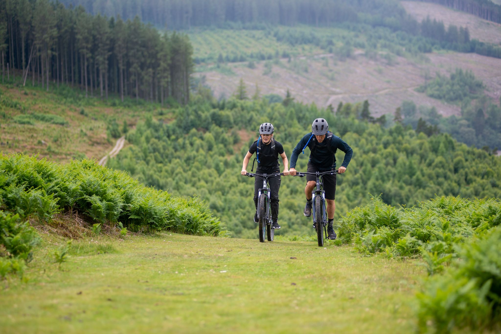
The Republic of Ireland and Northern Ireland – e-bike trials by Halfords
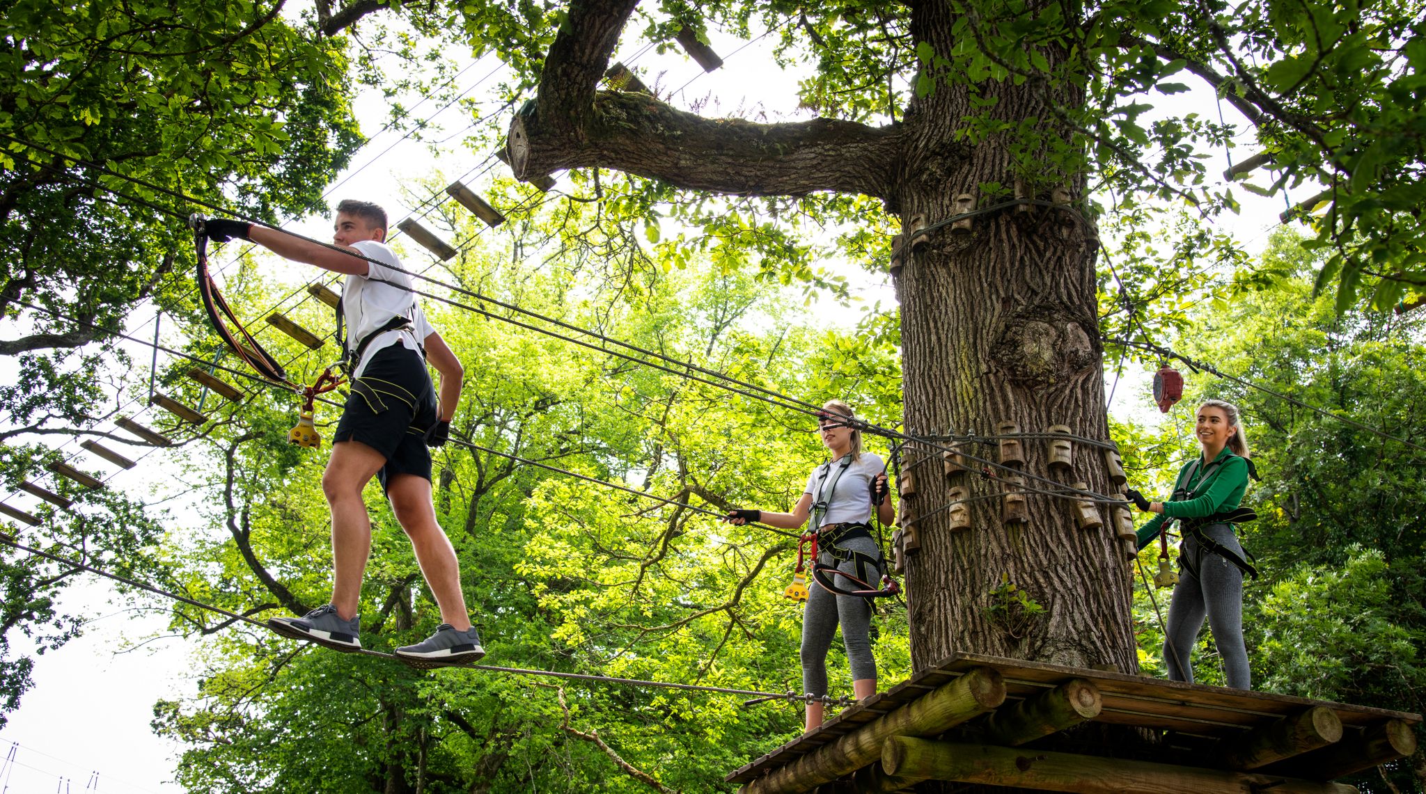
Awaken your spirit of discovery — family-friendly walks in Ireland

Between waves and peaks — to the best views in Ireland
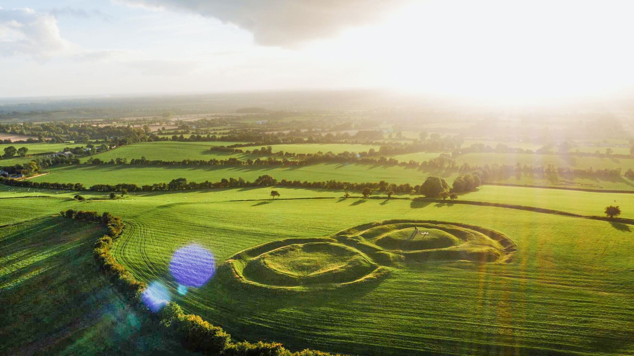
The magical east of Ireland – ancient places, scenic lakes and rocky mountains
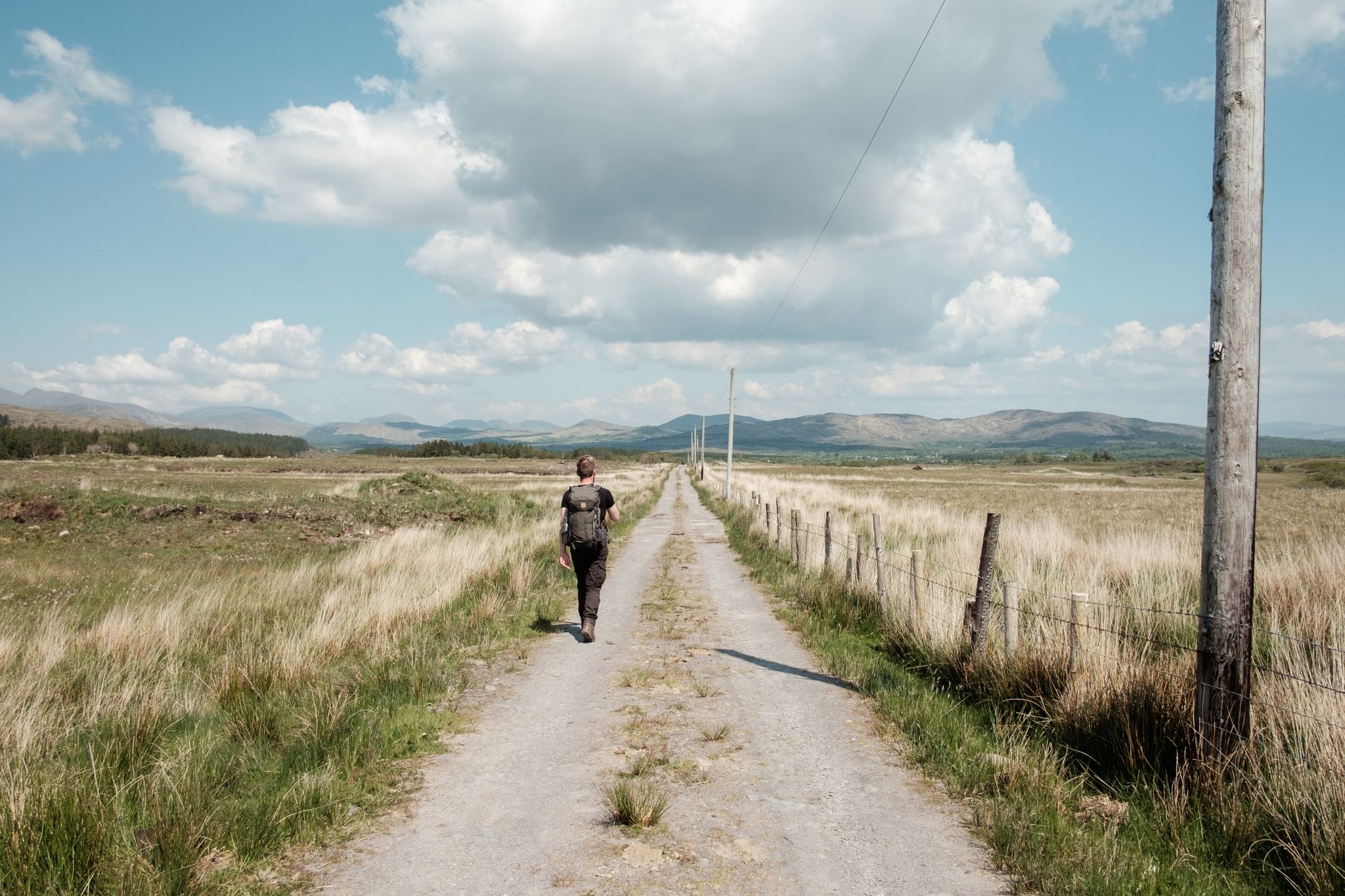
Irish wanderlust — 8 long-distance hiking trails on the Emerald Isle
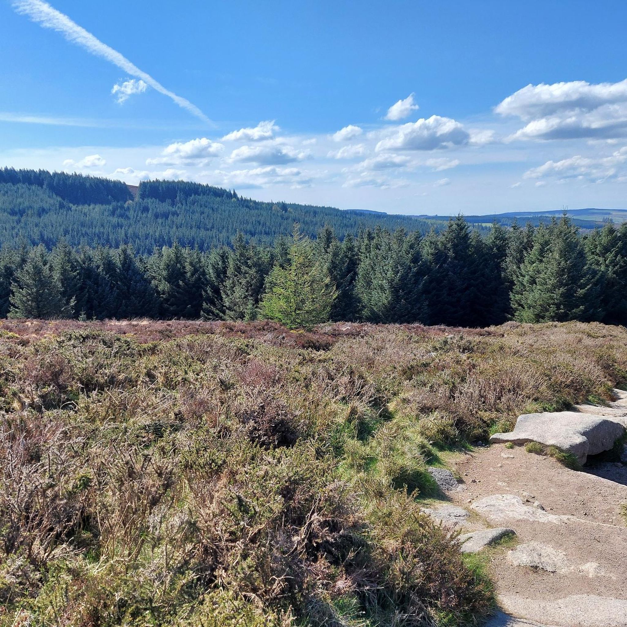
Hiking around Dún Laoghaire–Rathdown
Other adventures around Dún Laoghaire–Rathdown


Tips from the Community

The Newcastle Heritage Way is a 3.5 km (2.2 mile) loop west of Newcastle village. Mainly on quiet roads it takes in the castle and church from where the village gets its name.
0
0

The Glenmacnass Waterfall cascades 80–100 metres down several broad steps into a carved U‑shaped valley, one of the wildest landscapes in the Wicklow Mountains. From the R115, you have a frontal view of the granite ledge over which the water falls, with open moorland, peat slopes, and the river winding its way towards Laragh.
8
0
The waterfall plunges in multiple stages, 80–100 meters, down a wide granite ledge. The combination of steep walls, open highlands, and the winding river below makes this one of the most dramatic panoramas in the entire R115 corridor.
6
0
Sally Gap, one of the highest and most open crossroads in the Wicklow Mountains. Here, the R759 and the Old Military Road (R115) intersect at over 500 meters altitude, in the middle of a vast moorland and heath landscape without buildings or shelter. The panorama is a full 360°: the dark bogs of Liffey Head Bog, the flanks of Kippure, the valleys towards Glencree, and the long, empty Military Road that runs like a pencil line through the highlands. This location is world-famous as a backdrop for films and series such as Braveheart, Vikings, and P.S. I Love You.
8
0
You are here on one of the most characteristic sections of the Old Military Road, built between 1800 and 1809 by the British Army to control the Wicklow Mountains after the 1798 Rebellion. This section of the L1013 runs across an open high plateau with wide, rugged views towards Glencree, Kippure and the northern Wicklow Mountains.
7
0
A modern cable-stayed bridge from 2009, designed by Santiago Calatrava, recognizable by its large white arch and 31 cables that together evoke the shape of an Irish harp. The bridge connects Sir John Rogerson’s Quay with Guild Street in the Docklands and can rotate up to 90° to allow ships to pass. It is one of the most photogenic spots along the Liffey, especially in the evening light with its reflections on the water.
5
0

The bridge was installed in 2003 and can swivel 90 degrees. Its design is reminiscent of a harp. It was named after the Irish writer Samuel Beckett.
1
0
Frequently Asked Questions
How many road cycling routes are available in Dún Laoghaire–Rathdown?
Dún Laoghaire–Rathdown offers a wide selection of road cycling routes, with over 160 tours available on komoot. These routes cater to various skill levels, from easy coastal spins to challenging mountain ascents.
What types of terrain can I expect on road cycling routes in Dún Laoghaire–Rathdown?
The region provides diverse terrain for road cyclists. You'll find extensive coastal paths offering flat sections with stunning sea views, as well as routes that climb into the foothills of the Dublin Mountains, providing significant elevation gains and panoramic vistas. Many routes also incorporate dedicated cycle paths through green spaces and parks.
Are there any easy or family-friendly road cycling routes in Dún Laoghaire–Rathdown?
Yes, Dún Laoghaire–Rathdown has numerous easy routes suitable for a relaxed ride or families. For instance, the Seapoint Beach – Samuel Beckett Bridge loop from Seapoint is an easy 47.9 km path that follows the coastline, offering flat sections ideal for steady riding. The region's commitment to 'Active Travel' means many routes utilize dedicated cycle paths and greenways.
Where can I find challenging road cycling routes with significant elevation?
For more experienced cyclists seeking elevation, routes venturing towards the Dublin Mountains offer demanding climbs. A challenging option is the Killakee Viewpoint – Sally Gap loop from Sydney Parade, an 84.9 km trail with over 1300 meters of ascent. Another demanding route is the Killakee Viewpoint – Sally Gap loop from Booterstown, which covers 132.9 km with nearly 2000 meters of climbing.
What scenic landmarks or natural features can I see along the road cycling routes?
Many routes offer breathtaking scenery and pass by notable landmarks. You can enjoy coastal views along the Dublin Bay Linear Route, or explore areas near the Dublin Mountains. Highlights include Killiney Hill and the Obelisk, offering sweeping views over Killiney Bay, and the historic Two Rock Mountain (Fairy Castle). Coastal routes also feature Martello Towers and picturesque harbor towns like Dún Laoghaire and Dalkey.
Are there any road cycling routes that include stops at cafes or pubs?
Yes, several routes are designed to pass by or near places where you can refuel. For example, the Scalp Road, Barnaslingan – OH SO Café loop from Booterstown is a moderate 64.9 km route that includes a café stop. You might also find routes that pass near popular spots like Johnnie Fox's Pub, known for its traditional Irish atmosphere.
What is the best time of year to go road cycling in Dún Laoghaire–Rathdown?
Road cycling in Dún Laoghaire–Rathdown is enjoyable throughout much of the year, though spring and summer (April to September) generally offer the most pleasant weather conditions with longer daylight hours. The coastal routes can be particularly refreshing during these months. Autumn can also be beautiful with changing foliage in the park and mountain areas, but be prepared for cooler temperatures and potentially more rain.
Can I find circular road cycling routes in the area?
Yes, many of the road cycling routes in Dún Laoghaire–Rathdown are designed as loops, allowing you to start and finish at the same point. Examples include the Coliemore Harbour loop from Dundrum, an 29.3 km easy route, and the moderate Seapoint Beach – Sandymount Beach loop from Salthill and Monkstown, covering 83.5 km.
What do other road cyclists enjoy most about cycling in Dún Laoghaire–Rathdown?
The road cycling routes in Dún Laoghaire–Rathdown are highly rated by the komoot community, with an average score of 4.5 stars from over 100 reviews. Cyclists often praise the stunning coastal views, the variety of terrain from flat paths to challenging climbs, and the well-maintained dedicated cycle routes and greenways that make for an enjoyable experience.
Are there any moderate-difficulty road cycling routes that offer a good balance of distance and elevation?
Absolutely. For a moderate challenge, consider the Seapoint Beach – Killiney Beach loop from Blackrock, which is 88.7 km long with nearly 700 meters of elevation gain. Another option is the Seapoint Beach – Greystones Beach loop from Seapoint, a 84.7 km route with similar elevation, offering a great workout with scenic rewards.
How accessible are the road cycling routes by public transport?
Dún Laoghaire–Rathdown is well-served by public transport, including the DART (Dublin Area Rapid Transit) line, which runs along the coast and connects many towns and villages. This makes it convenient to access various starting points for coastal routes. Additionally, bus services provide access to areas further inland, including those closer to the Dublin Mountains.
Where can I find parking for road cycling routes in Dún Laoghaire–Rathdown?
Many towns and villages along the coast, such as Dún Laoghaire, Dalkey, and Sandycove, offer public parking facilities that can serve as convenient starting points for coastal routes. For routes venturing inland towards the Dublin Mountains, parking may be available near trailheads or in designated car parks within parks like Marlay Park. It's always advisable to check local parking regulations and availability before your ride.
Most popular routes around Dún Laoghaire–Rathdown
Most popular attractions around Dún Laoghaire–Rathdown

Get inspired with the komoot mobile app


Didn’t find what you were looking for?
Check out more Road cycling routes throughout Dún Laoghaire–Rathdown below and find the perfect route in your destination.
Explore more
Browse the best Road cycling routes in other regions.
