The best cycling routes around Geversdorf
4.5
(2375)
9,340
riders
338
rides
Touring cycling routes around Geversdorf are characterized by flat lowlands and riverine environments, making the region suitable for relaxed cycling. The area is influenced by rivers such as the Elbe and Oste, featuring broad floodplains and riverside landscapes. The terrain includes parts of the "Geest" landscape, which is predominantly flat with moors, offering varied natural settings for cyclists.
Best touring cycling routes around Geversdorf
- The most popular touring cycling route is Oste Barrage – View of Freiburg (Elbe) loop from…
Last updated: July 2, 2026
4.7
(37)
201
riders
50.4km
02:49
20m
20m
Moderate bike ride. Good fitness required. Mostly paved surfaces. Suitable for all skill levels.
4.5
(30)
87
riders
Easy bike ride. Great for any fitness level. Mostly paved surfaces. Suitable for all skill levels.

Sign up for free
4.4
(25)
81
riders
28.9km
01:39
40m
40m
Easy bike ride. Great for any fitness level. Mostly paved surfaces. Suitable for all skill levels.
4.4
(95)
509
riders
Moderate bike ride. Good fitness required. Mostly paved surfaces. Suitable for all skill levels.
4.9
(7)
31
riders
Hard bike ride. Very good fitness required. Mostly paved surfaces. Suitable for all skill levels.
Get access to more routes and recommendations from other explorers.
Sign up for free
Already have an account?
Our route recommendations are based on thousands of hikes, rides, and runs completed by other people on komoot.
Start today with a free account
Your next adventure awaits.
Login or Signup
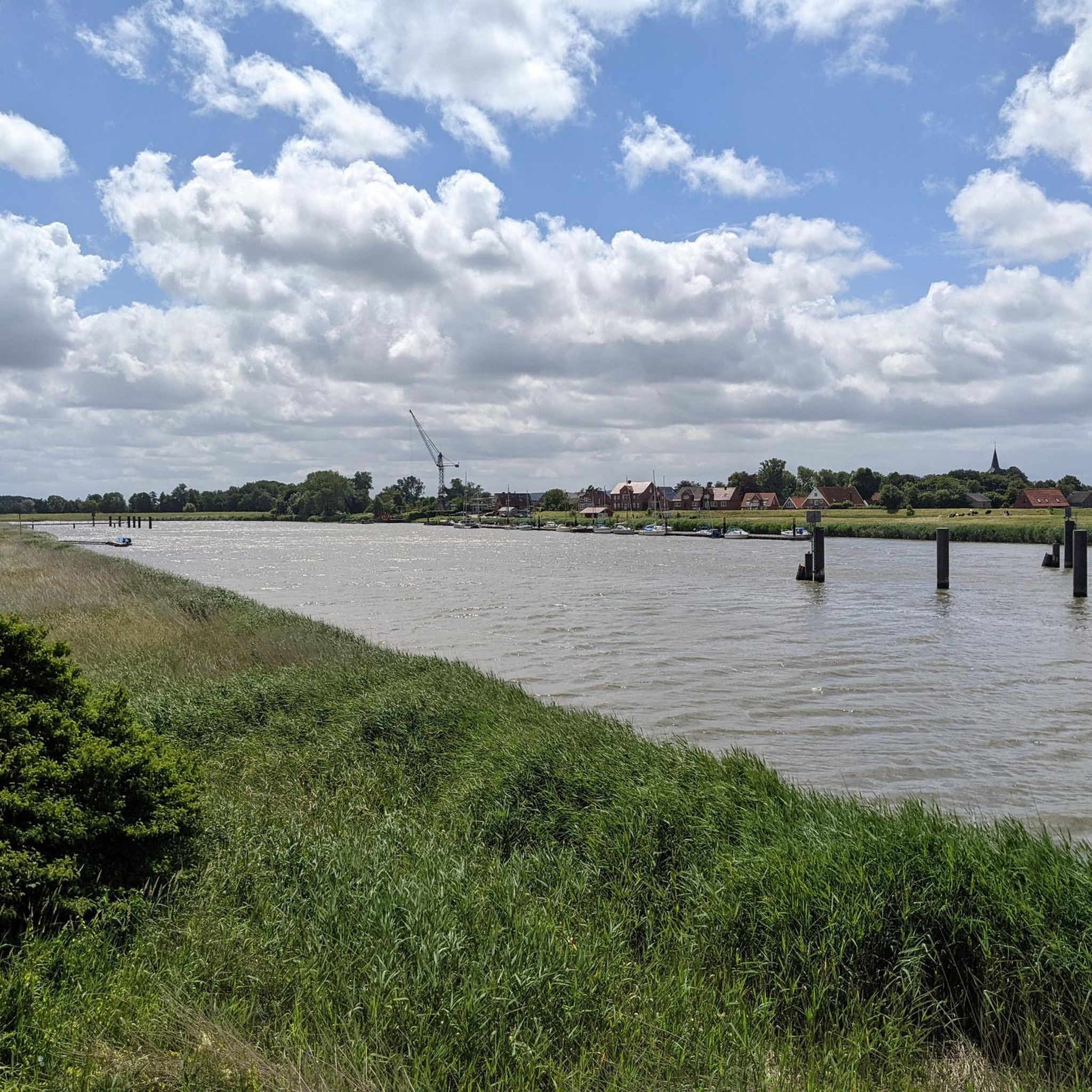
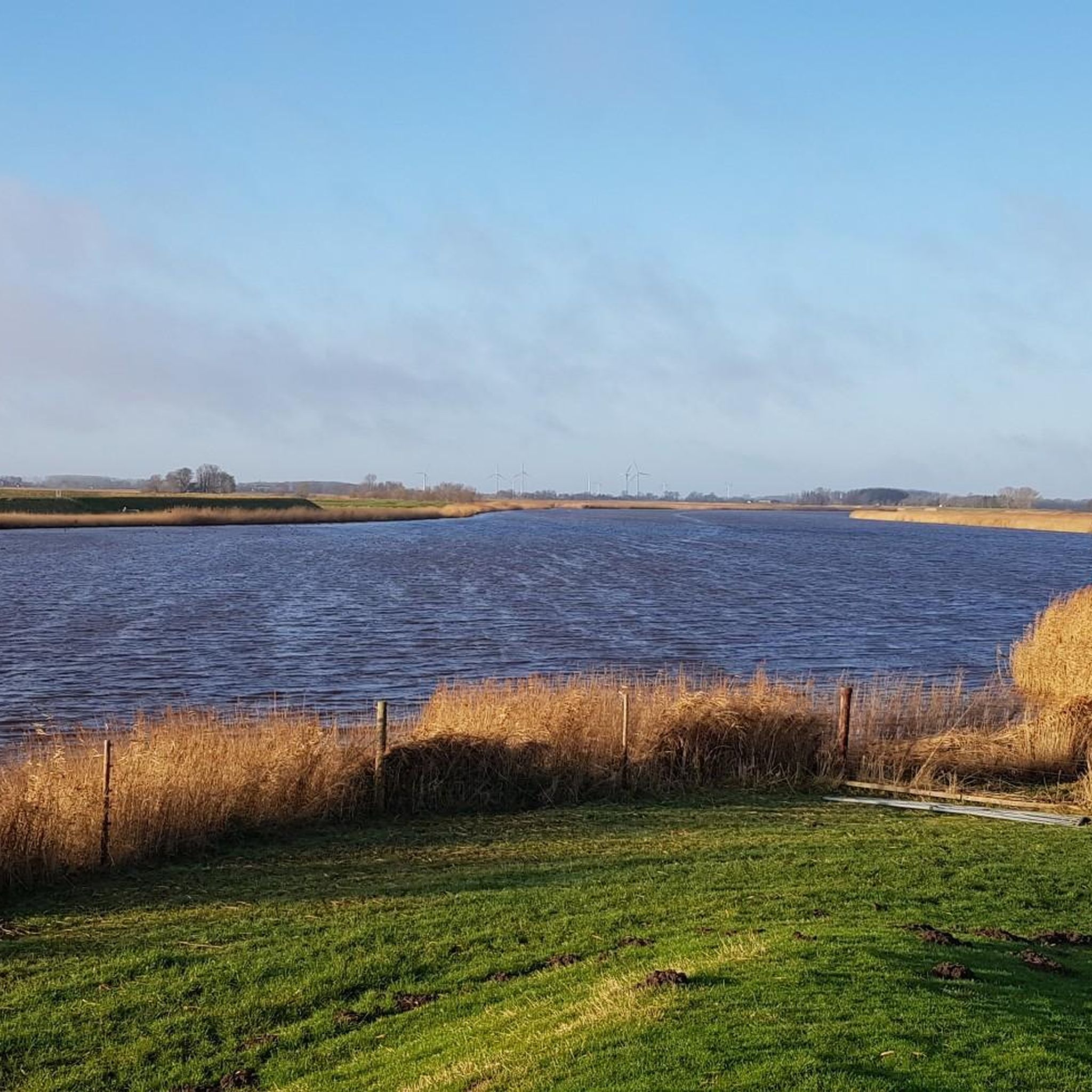
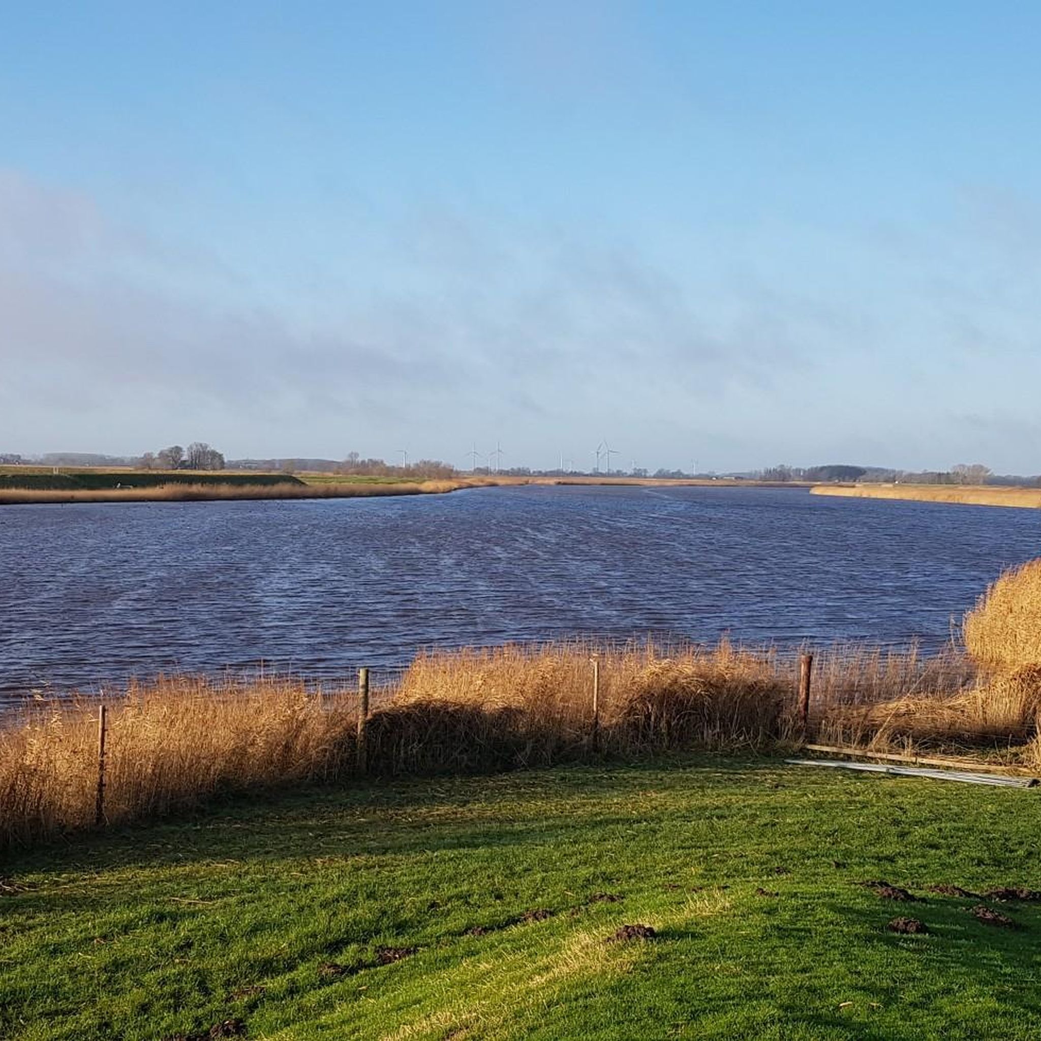
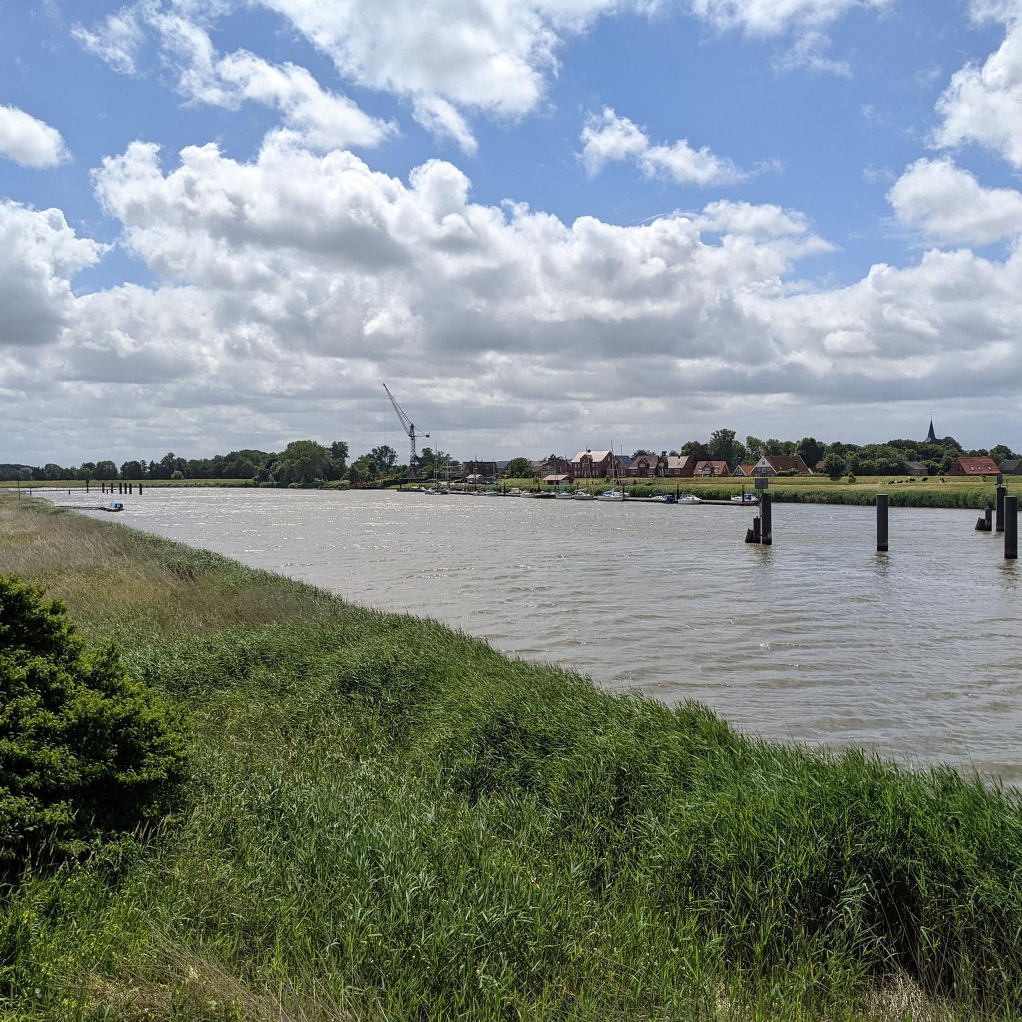
Tips from the Community

The Hadelner Kanal is very easy to cycle on along its entire route, a great asphalt path, highly recommended.
1
0
A beautiful historic village. The church is an open church and a visit is recommended. The Café Central is located right by the church and is also recommended and interesting at the same time 👍🏼.
1
0
Theologically beautiful cycle route and hiking trail leads here amidst beautiful nature 💚.
6
0
A great bascule bridge with a great view of the Oste. A super bike and hiking trail runs along here amidst beautiful nature 💚.
7
0
Freiburg lies on the southwest bank of the Elbe River, approximately at river kilometer 682. Within the Stade district, the town is situated quite far north. As the crow flies, it is 27 km to Stade and 40 km to Cuxhaven. The nearest larger town, Glückstadt, is located on the opposite bank of the Elbe in Schleswig-Holstein and can be reached by the Glückstadt-Wischhafen ferry. Along the Lower Elbe, Freiburg borders the Schleswig-Holstein municipalities of Brokdorf and Wewelsfleth, separated by the riverbed. On the Lower Saxon side, Freiburg's neighboring municipalities are Wischhafen to the southeast, Oederquart to the south, and Krummendeich to the west.
4
0
Freiburg, originally an island in the Lower Elbe River, lies in the Kehdingen region. Pliny the Elder, who reached the Elbe with a Roman fleet under the general Drusus, reported on the inhabitants of the riverbanks who lived primarily by fishing, making their nets from reeds and bulrushes. A castle in Freiburg, along with the town of Freiburg itself, is first mentioned in 1154, when Archbishop Hartwig I of Bremen had it repaired, along with the towns of Stade, Harburg, and Bremervörde, to defend himself against Henry the Lion of Stade. The County of Stade had built the castle before 1144. In 1158, it was further expanded due to the ongoing conflicts between the archbishop and Henry the Lion. This measure proved unsuccessful, as Henry the Lion conquered Freiburg in 1167 and subsequently razed it to the ground. The exact location of the castle has not yet been definitively determined.
4
0
During the Napoleonic era, Freiburg, like the entire Elbe-Weser Triangle, was under alternating military occupation by France and Prussia. In 1810, it briefly became part of the Kingdom of Westphalia before being incorporated into the French Empire as part of the Département des Bouches de l’Elbe. After the Wars of Liberation and the Congress of Vienna in 1814, the former Electorate became the Kingdom of Hanover, which transferred the province of Bremen-Verden into the Landdrostei (district) of Stade in 1823. As part of the Hanoverian judicial reform, later extended throughout Germany, the Freiburg Elbe District Court was established in 1852. After the Second World War, the state of Hanover was initially re-established, which included Freiburg. Shortly thereafter, in 1946, Freiburg, along with the state of Hanover, became part of Lower Saxony. The early postwar years were also marked by the arrival of many refugees and expellees from the former German eastern territories who came to Kehdingen.
4
0
The radar tower is located on the Elbe River at the mouth of the Freiburg harbor entrance near the steamer landing. A fantastic cycling and hiking trail runs along here, amidst beautiful scenery. Today we were out on ice and snow-covered slopes, and it was wonderful 😊.
4
0
Frequently Asked Questions
How many touring cycling routes are available around Geversdorf?
There are over 300 touring cycling routes around Geversdorf, offering a wide variety of options for cyclists. These include 208 easy routes, 89 moderate routes, and 30 difficult routes, catering to different skill levels.
What is the general terrain like for touring cycling in Geversdorf?
The terrain around Geversdorf is predominantly flat, characterized by lowlands and riverine environments influenced by the Elbe and Oste rivers. This makes it ideal for relaxed touring cycling. You'll also encounter parts of the 'Geest' landscape, which is generally flat with moors, providing varied natural settings.
What do other cyclists say about touring cycling in Geversdorf?
The touring cycling routes in Geversdorf are highly rated by the komoot community, with an average score of 4.5 stars from over 2,100 reviews. Cyclists often praise the flat, scenic paths along rivers and canals, as well as the well-maintained network of routes.
Are there routes suitable for beginners or those seeking easy rides?
Yes, Geversdorf is very beginner-friendly for touring cyclists. There are 208 easy routes available, many of which follow flat riverbanks and canals, providing a relaxed cycling experience. An example is the Oste River Viewpoint – Dike Street, Neuhaus loop from Ostesee, which is an easy 17.9-mile (28.9 km) trail.
What natural features or landmarks can I expect to see along the cycling routes?
You can expect to see diverse natural features such as broad floodplains, gentle river meanders, and idyllic riverside forests along the Elbe and Oste rivers. Routes may also pass through moors and agricultural land. Notable landmarks include the Observation Tower at the Deutscher Olymp and the Balksee Observation Tower, offering scenic views.
Are there any specific viewpoints or interesting sights on the routes?
Yes, many routes offer scenic viewpoints. For instance, the Oste Barrage – View of Freiburg (Elbe) loop from Ostesee provides views of the Elbe and the Oste Barrage. You might also encounter the Silberberg Summit (Wingst) or the Ketelbarg Hill and archaeological site, which are interesting points of interest in the wider region.
Are there family-friendly touring cycling routes in Geversdorf?
Given the predominantly flat landscape and numerous easy routes, Geversdorf is well-suited for family cycling. Many paths along the rivers and canals are safe and enjoyable for all ages. The Oste Barrage – Oste River Viewpoint loop from Ostesee is a shorter, easy option that families might enjoy.
Are there circular touring cycling routes available around Geversdorf?
Yes, many touring cycling routes around Geversdorf are designed as loops, allowing you to start and end at the same point. An example is the Hadelner Canal – Otterndorf Town Hall Square loop from Geversdorf, which takes you through the historic town of Otterndorf.
What is the best time of year for touring cycling in Geversdorf?
The months of July and August are particularly popular for cycling in the Geversdorf region, suggesting pleasant weather conditions. Generally, late spring through early autumn (May to September) offers the most favorable weather for touring cycling, with milder temperatures and less precipitation.
Are there places to stop for refreshments or accommodation along the routes?
Yes, the region around Geversdorf features charming small towns like Otterndorf, which offer opportunities for refreshments and accommodation. While cycling, you'll find cafes, pubs, and restaurants in these towns, providing convenient stops to refuel and relax.
Is parking available near the starting points of cycling routes?
While specific parking details for every trailhead are not listed, the extensive network of cycling routes in the Geversdorf area, including nearby Cadenberge, suggests that parking facilities are generally available in or near the towns and popular starting points to accommodate cyclists.
How can I reach Geversdorf and its cycling routes using public transport?
Geversdorf is located in Lower Saxony, Germany, a region with developed infrastructure. While specific public transport links to every trailhead are not detailed, regional bus services and train connections to nearby larger towns would likely provide access to the area, often allowing for bicycle transport. It's advisable to check local public transport schedules for specific routes and bike carriage policies.
Can I bring my dog on touring cycling routes in Geversdorf?
Many outdoor areas in Germany are dog-friendly, especially on designated paths. Given the natural and rural character of Geversdorf's cycling routes, it's generally possible to bring dogs, provided they are kept on a leash and you adhere to local regulations regarding waste disposal. Always ensure your dog is comfortable with the distance and terrain.
Most popular attractions around Geversdorf

Get inspired with the komoot mobile app


Explore more
Browse the best Cycling routes in other regions.
