The best walks and hikes around Lesko
4.6
(2596)
37,520
hikers
360
hikes
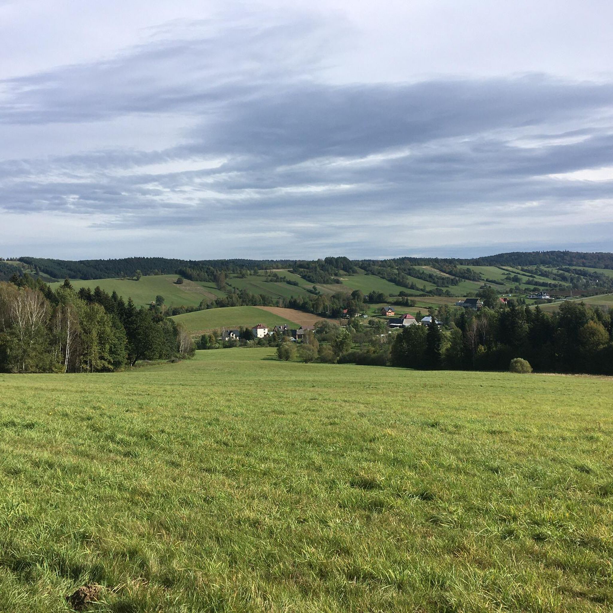
Hiking around Lesko, located in south-eastern Poland, offers access to the Bieszczady Mountains, known for their expansive and wild terrain. The region is characterized by diverse landscapes, including the scenic San Valley and the protected Słonne Mountains Landscape Park. Forest nature reserves contribute to the area's biodiversity, providing varied environments for outdoor activities.
Best hiking trails in Lesko
- The most popular hiking route is Sine Wiry Nature Trail, a 4.7 miles (7.6 km) trail that takes 2 hours 9…
Last updated: August 17, 2026
4.7
(72)
757
hikers
7.56km
02:09
170m
170m
Hike the 4.7-mile Polanka - Sine Wiry trail in Cisna-Wetlina Landscape Park, featuring the Wetlina River gorge and Sine Wiry Nature Reserve.
4.8
(62)
633
hikers
14.3km
04:39
600m
600m
Hike the moderate 8.9-mile Pętla Smerek - Przełęcz Orłowicza - Wetlina loop in Bieszczady National Park for panoramic mountain views.

Sign up for free
4.9
(42)
674
hikers
10.3km
03:32
550m
550m
Hike the moderate 6.4-mile Wetlina - Smerek yellow trail in Bieszczadzki Park Narodowy for panoramic views from Smerek peak.
4.9
(14)
240
hikers
30.1km
09:43
1,270m
1,270m
Hike the difficult 18.7-mile Wetlina - Rabia Skała - Wielka Rawka Loop for expansive Bieszczady panoramas and a unique tri-border experience
4.7
(19)
209
hikers
Moderate hike. Good fitness required. Mostly accessible paths. Sure-footedness required.
4.9
(12)
198
hikers
4.45km
01:39
300m
300m
Hike the moderate 2.8-mile Dolina Łopienki - Korbania - Bukowiec Nature Trail for panoramic Bieszczady views from Korbania's tower.
4.8
(13)
158
hikers
17.8km
05:35
660m
660m
This difficult 11.1-mile (17.8 km) hiking loop in Bieszczady National Park offers panoramic views from Smerek summit and diverse terrain.
4.8
(15)
142
hikers
Moderate hike. Great for any fitness level. Mostly accessible paths. Sure-footedness required.
4.7
(12)
72
hikers
14.0km
03:54
260m
260m
Moderate hike. Good fitness required. Easily-accessible paths. Suitable for all skill levels.
4.9
(14)
101
hikers
Hard hike. Very good fitness required. Mostly accessible paths. Sure-footedness required.
Get access to more routes and recommendations from other explorers.
Sign up for free
Already have an account?
Our route recommendations are based on thousands of hikes, rides, and runs completed by other people on komoot.
Start today with a free account
Your next adventure awaits.
Login or Signup
Popular around Lesko
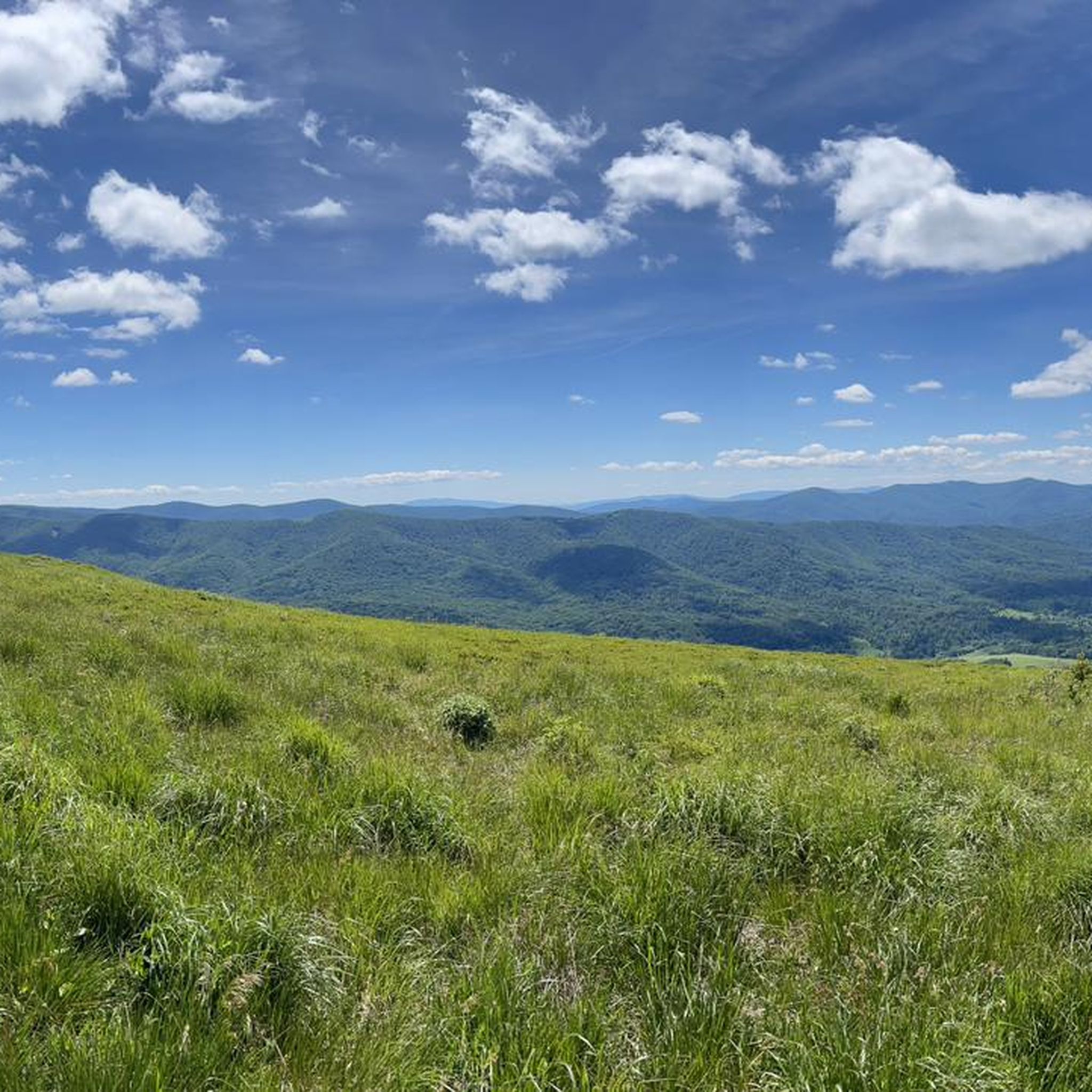
Hiking around Cisna
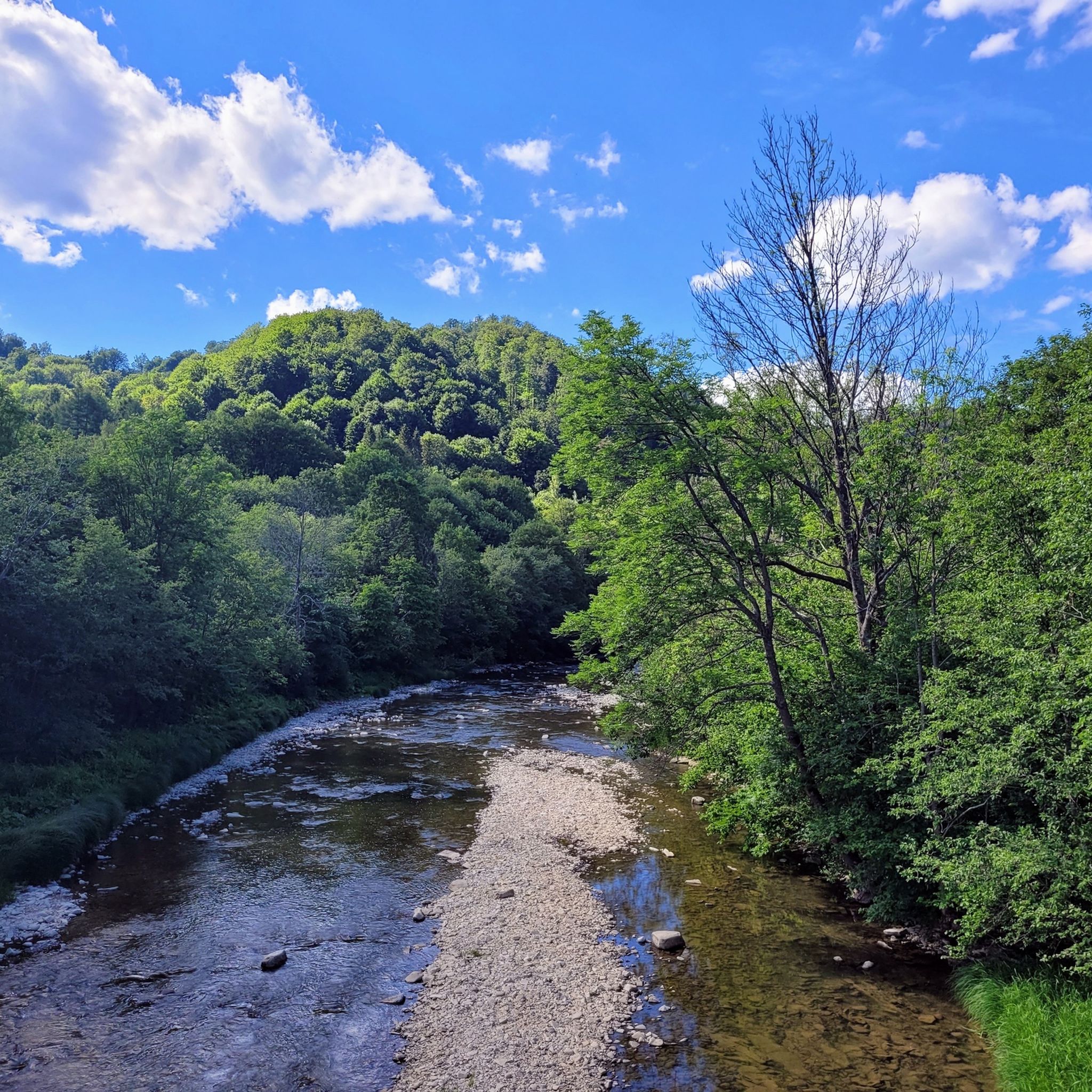
Hiking around Ciśniańsko-Wetliński Park Krajobrazowy
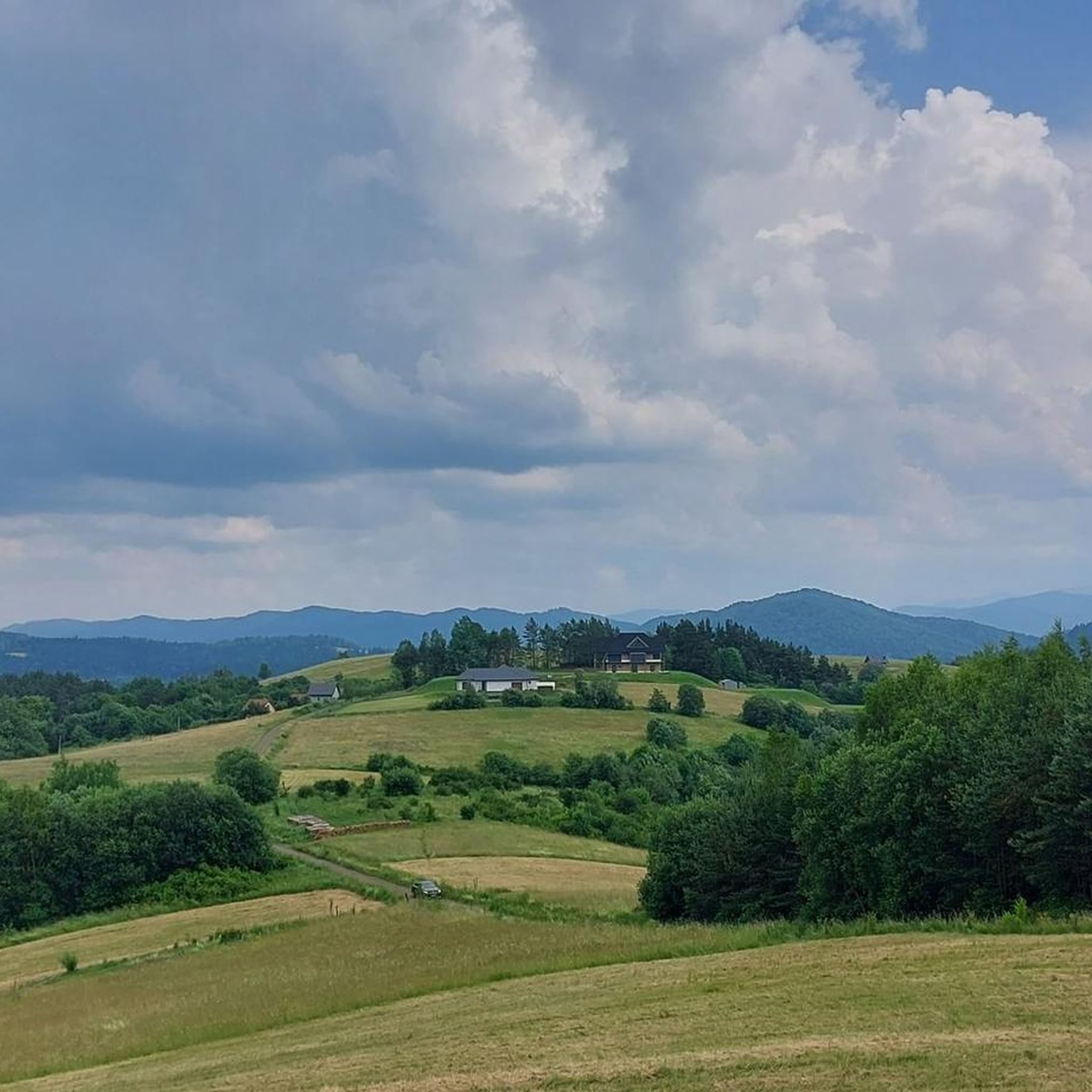
Hiking around gmina Solina
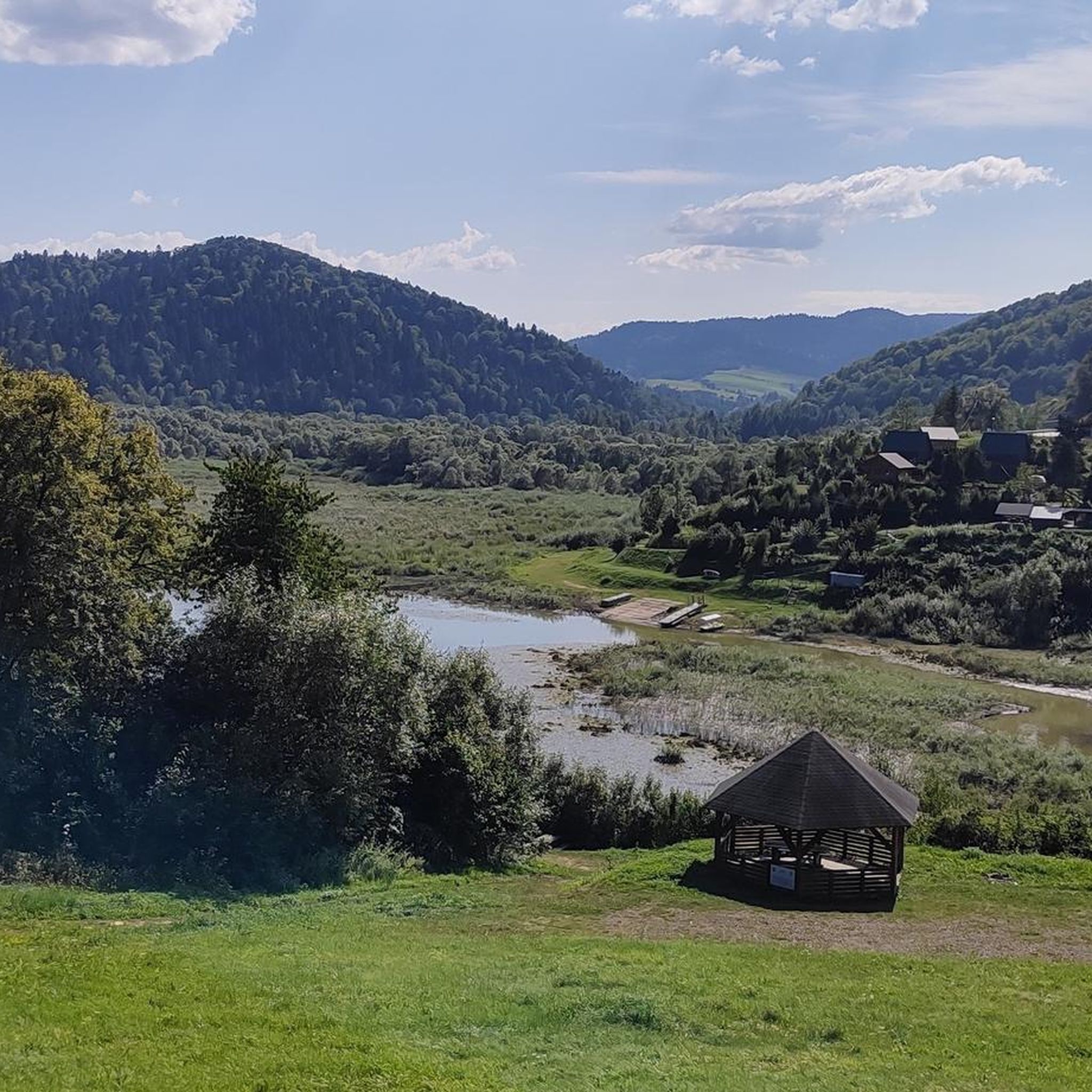
Hiking around Lake Solina
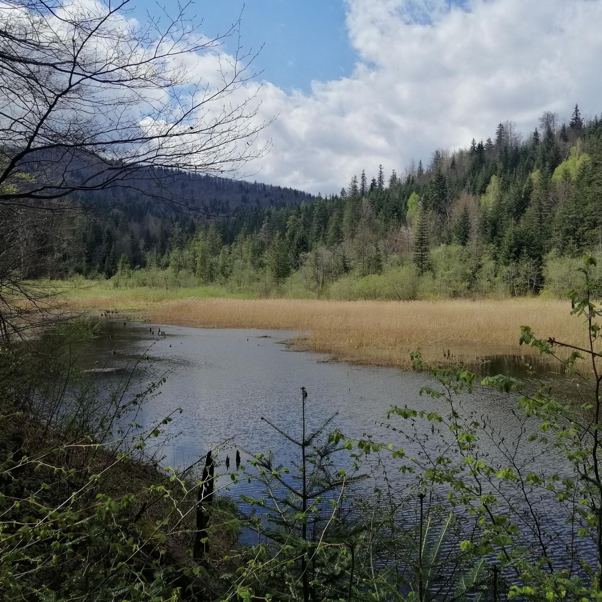
Hiking around Baligród
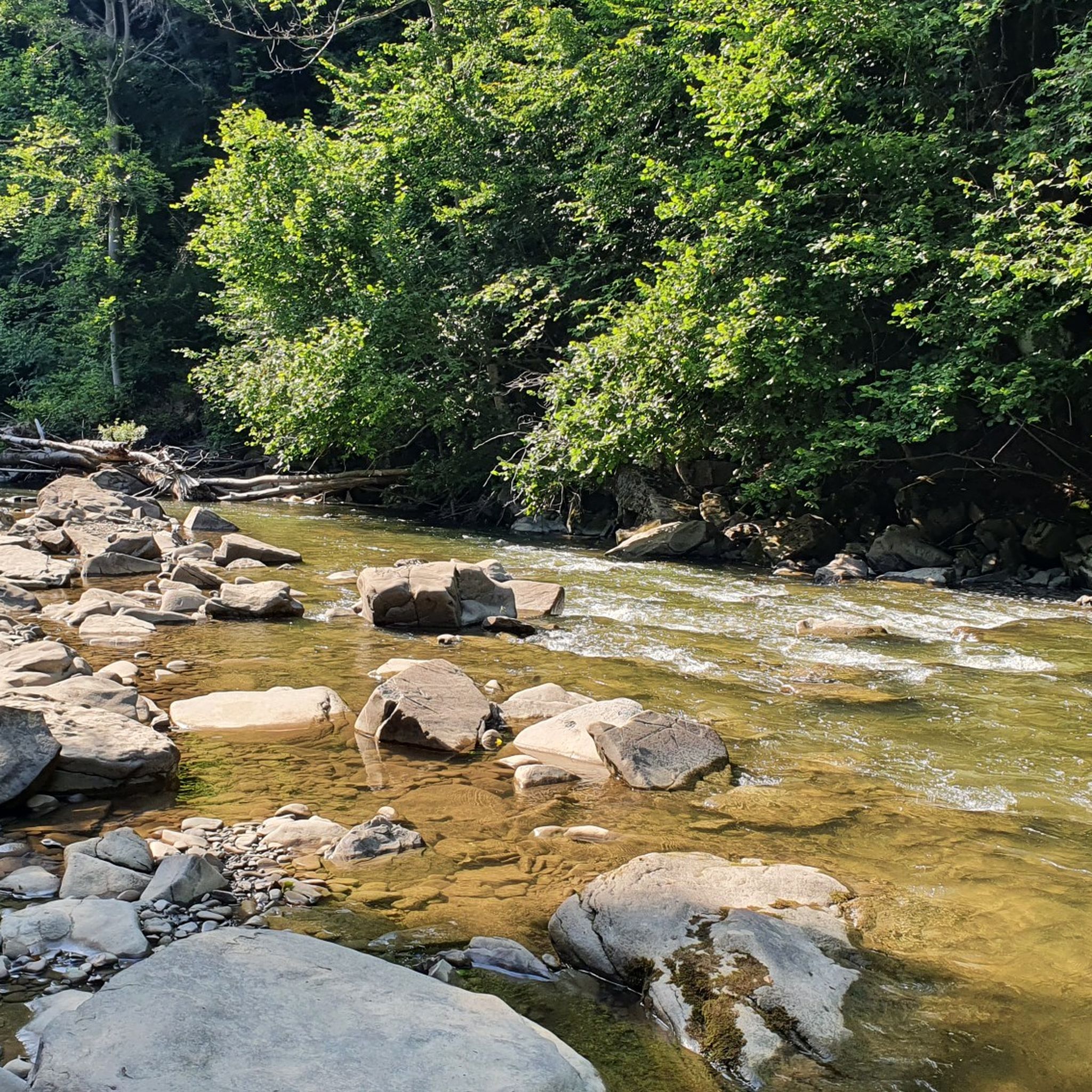
Hiking around Sine Wiry
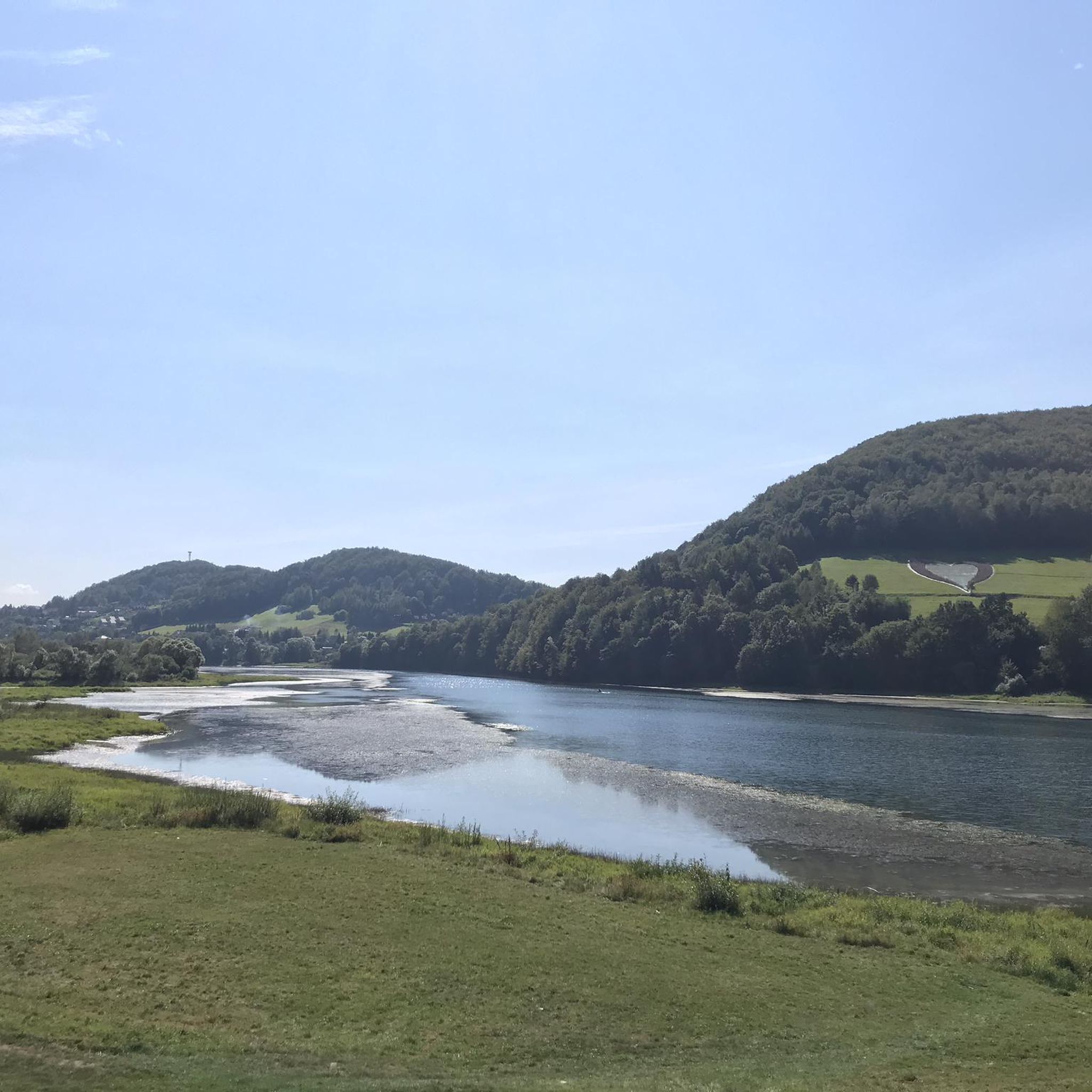
Hiking in Rezerwat Nad Jeziorem Myczkowieckim
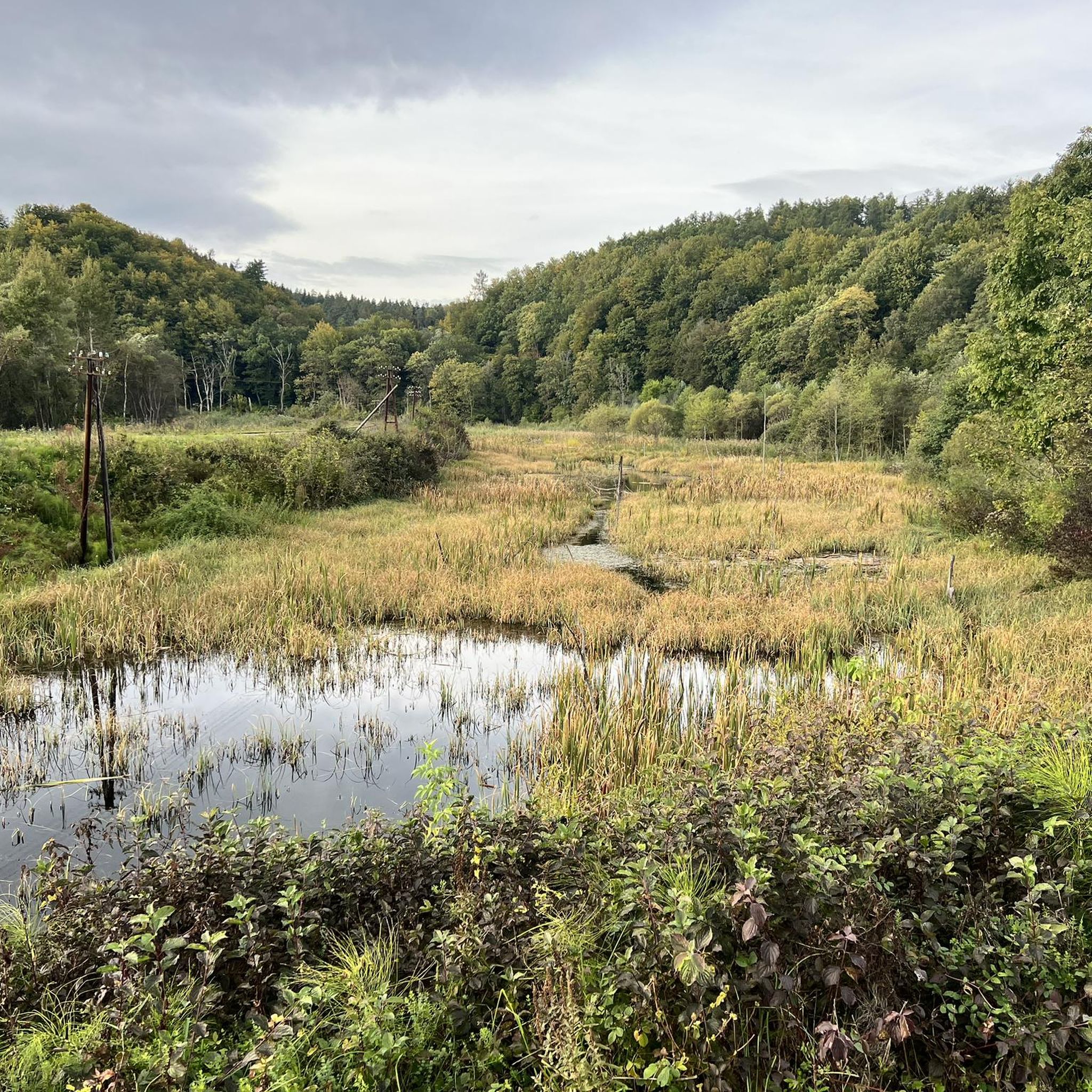
Hiking around gmina Lesko
Hiking around gmina Olszanica

Main Beskids Trail — the longest Polish Mountain Trail


Tips from the Community

More information and photos: https://pl.wikipedia.org/wiki/Krzemieniec_(szczyt) https://goryaktywnie.pl/krzemieniec https://mapa-turystyczna.pl/node/krzemieniec#49.08803/22.56566/14 https://marcinkarpinski.pl/krzemieniec-mala-i-wielka-rawka/ https://www.info.bieszczady.pl/turystyka/szczyty/krzemieniec/
1
0
More information: https://gdziebytudalej.pl/na-widokowe-jaslo-i-graniczny-stryb/ https://www.twojebieszczady.net/piesze/przyslup_jaslo.php https://magazynnaszczycie.pl/artykul/skiturowa-klasyka-bieszczadow-n1510246
1
0
Jasło (1153 m a.s.l.[1]) – a mountain in the Western Bieszczady Mountains, also called Wielki Jasłem in contrast to the nearby Mały Jasłem. Located within the Cisna commune in the Lesko county. This mountain, formerly called Jasiel or Wasiel, constitutes the highest culmination of the ridge stretching from Okrąglik in the border range north-westwards, towards Cisna. At the summit, there is a geodetic tower, and below it, a plaque marking the peak. The mountain slopes are covered with Carpathian beech forest and beech-fir forests, a significant part of which are old-growth stands. The clearings occurring in the summit areas were likely formed as a result of human activity. This is evidenced by the lack of stunted beech growth at the forest edge, as well as individual trees growing among the alpine meadows. The presence of these clearings provides views in all directions, including towards Slovakia. Many rare animal species live in this area, including: wolves, bears, lynxes, capercaillies. This area is an important link in the "Carpathian" ecological corridor. The Jasło mountain area is protected as part of the Ciśniańsko-Wetliński Landscape Park, it lies in the buffer zone of the Bieszczady National Park, the International Biosphere Reserve "Eastern Carpathians" and is protected within the European network of protected areas Natura 2000 Bieszczady (PLC 180001). Since 1998, successive mayors of the Cisna commune have promoted the construction of ski lifts on the slopes of Jasło, seeing it as an opportunity for economic development of the commune and for generating additional income for its residents. The planned construction of a large winter sports center in the form of three lifts 2 km long, a half-pipe for snowboarders, a summer pedestrian lift and a mountain bike lift contradicts national and EU environmental protection law. In 1998, the Provincial Commission for Nature Protection and the Scientific-Social Council of the Carpathian Landscape Parks Complex in Krosno gave a negative opinion on the possibility of locating the investment on the slopes of the mountain, which lies in the II usage zone, where such investments are not permitted, in accordance with the protection plan of the Ciśniańsko-Wetliński Landscape Park. Furthermore, investments significantly impacting the environment are not permitted in Natura 2000 areas. Information source: https://pl.wikipedia.org/wiki/Jas%C5%82o_(g%C3%B3ra)
1
0
More information: https://www.twojebieszczady.net/piesze/koronka.php https://dzikie-bieszczady.com/5-najpiekniejszych-szlakow-w-bieszczadach/
1
0
Paportna (1198 m a.s.l.) – a peak in the Western Bieszczady Mountains, located on a side ridge of the border range. This ridge connects to the main one at Riaba Skała, located about 1200 m to the south. Northeast of the main summit is a second one, with a height of 1175 m a.s.l. Steep western and eastern slopes descend to the valleys of the Chomów and Wielki Lutowy streams, respectively; the sources of the Rybnik stream are to the north. The yellow tourist trail Wetlina Stare Sioło – Riaba Skała runs through the summit. information source: https://pl.wikipedia.org/wiki/Paportna
1
0
More information: https://goryaktywnie.pl/rabia-skala https://andrzej-banach.eu/w-gorach/bieszczadzkie-poloniny/rabia-skala/ https://wbieszczady.pl/szlaki-sciezki-bezdroza/bieszczady-maja-szczyt-o-ktorym-malo-kto-wie-zobacz-co-na-ciebie-czeka/ObXdATtphNa3nUtsm1wB https://www.twojebieszczady.net/piesze/koronka.php https://bieszczady.land/rabia-skala-dla-prawdziwych-wedrowcow/#google_vignette
1
0
Riaba Skała (1199 m a.s.l.) – a peak in the border range of the Western Bieszczady Mountains, on the Polish-Slovak border. The name comes from the Ukrainian word рябий – motley. In the literature, the most commonly encountered distorted name is Rabia Skała, appearing on 19th-century Austrian maps. An alternative, correct form is Raba Skała. East of the main culmination, there is a lower (1169 m a.s.l.) summit (border marker 1/15). From the highest point, a side ridge of Paportna and Jawornik branches off to the north. From the section of the ridge between the two summits, a very steep, in places precipitous slope descends to the south, above which is a small metal viewing platform. From it, a view (approx. 145° angle) opens up to the south and southeast, onto the Slovak and partly Ukrainian part of the Bieszczady Mountains (up to Pikuj). The shortest route to Riaba Skała leads from the village of Wetlina (2.55 h). The southern slopes of the Riaba Skała ridge lie within the borders of the Slovak National Park "Połoniny", and their upper parts, down to approximately the 930 m contour line, are additionally covered by the Jarabá skala nature reserve. The northern slopes, up to the side arm of Paportna and Jawornik in the west, lie within the borders of the Polish Bieszczady National Park. The northwestern slopes of the higher (western) summit of Riaba Skała, between the main ridge running towards Dziurkowiec and the arm of Paportna and Jawornik, lie within the borders of the Ciśniańsko-Wetliński Landscape Park, and their upper parts are covered by the Dziurkowiec nature reserve. Among the rare plant species in Poland, Spiraea media, Veronicastrum longifolium, and Potentilla carpatica have been found. Information source: https://pl.wikipedia.org/wiki/Riaba_Ska%C5%82a
1
0

A mountain at an altitude of 1,153 meters above sea level in Lesko County. It's called Wielki Jasło (Great Jasło) to distinguish it from the nearby Mały Jasło. The mountain is cleared here and uncrowded, offering a beautiful panorama in every direction.
1
0
Frequently Asked Questions
How many hiking trails are available around Lesko?
Lesko and its surroundings offer a wide variety of hiking opportunities, with over 330 trails recorded on komoot. These routes cater to different skill levels, including 119 easy, 146 moderate, and 65 difficult options, ensuring there's a path for every hiker.
What kind of terrain can I expect on hikes near Lesko?
The terrain around Lesko is diverse, ranging from the expansive and wild Bieszczady Mountains to the scenic San Valley and extensive forest nature reserves. You'll encounter picturesque mountain paths, rolling hills, and tranquil forest trails. Some routes, like the Wetlina - Rabia Skała - Wielka Rawka Loop, involve significant elevation changes, while others, such as the Sine Wiry Nature Trail, offer more gentle walks through natural reserves.
Are there any family-friendly hiking options in the Lesko area?
Yes, there are many family-friendly options. The region offers numerous easy and moderate trails suitable for families. For instance, the Sine Wiry Nature Trail is a popular choice, winding through a notable nature reserve and offering an engaging experience for all ages. Many forest paths are also suitable for a relaxed family outing.
Can I bring my dog on the hiking trails around Lesko?
Generally, dogs are welcome on many hiking trails in the Bieszczady Mountains and surrounding areas. However, it's always advisable to check local regulations, especially within national parks or specific nature reserves, as rules can vary. Always keep your dog on a leash and ensure you clean up after them to preserve the natural environment.
Are there any circular hiking routes near Lesko?
Yes, the area features several excellent circular routes. A notable example is the Smerek and Orłowicz Pass Loop, which offers stunning views of prominent peaks and mountain passes. Another option is the Nature and history trail "Nad Sztolnią" (loop from Cisna), which combines natural beauty with historical insights.
What natural attractions or landmarks can I see while hiking near Lesko?
The region is rich in natural beauty. You can explore the unique Lesko Stone, admire the scenic San Valley, or venture into the Słonne Mountains Landscape Park. Prominent peaks like Mount Smerek and Połonina Wetlińska are visible from many viewpoints. The Orłowicz Pass is a significant landmark offering panoramic vistas, often incorporated into longer routes.
What is the best time of year to go hiking in Lesko?
Lesko offers distinct hiking experiences throughout the year. Spring brings vibrant landscapes and early flowers, while summer provides warm weather ideal for longer treks. Autumn is particularly beautiful with its rich colors, making it a popular time for scenic walks. Winter hiking is also possible for experienced trekkers, though conditions can be challenging and require appropriate gear.
Are there any historical sites or cultural points of interest accessible from the trails?
Beyond natural beauty, the region holds historical and cultural significance. You can find the ruins of Sobień Castle near Lesko, offering a glimpse into the past. Traditional Orthodox churches are scattered in nearby villages, providing cultural points of interest. The Bieszczady Forest Railway – Majdan Station is another unique historical attraction worth visiting.
Where can I find parking or access trails by public transport in Lesko?
Many trailheads around Lesko offer designated parking areas, especially for popular routes. For specific public transport options, it's best to check local bus schedules, as services can connect Lesko to smaller villages and trail starting points within the Bieszczady region. Planning ahead will help ensure smooth access to your chosen hike.
What do other hikers say about their experience in Lesko?
The hiking experience in Lesko is highly regarded by the komoot community, with an average rating of 4.7 stars from over 900 reviews. Hikers often praise the region for its wild and expansive terrain, the tranquility of the Bieszczady Mountains, and the diverse landscapes that offer something for every ability level.
Are there any longer or more challenging hikes for experienced trekkers?
Absolutely. For experienced trekkers seeking a challenge, routes like the Wetlina - Rabia Skała - Wielka Rawka Loop offer significant distances and elevation gains, spanning over 30 km. Another demanding option is the Smerek and Jaworzec Loop from Kalnica, which covers nearly 18 km with substantial ascents, providing a rewarding experience for those looking for a strenuous adventure.
Are there any specific nature reserves worth exploring near Lesko?
Yes, the region is home to several significant nature reserves. The Słonne Mountains Landscape Park is a protected area offering extensive opportunities for exploration. Additionally, forest nature reserves in places like Średnia Wieś, Przysłup, and Dyrbek contribute to the area's rich biodiversity and provide beautiful, unspoiled environments for hiking.
Where can I find refreshments or accommodation after a hike?
Lesko, as the "Gate of the Bieszczady Mountains," offers various options for refreshments and accommodation. You'll find local eateries and guesthouses in the town itself and in surrounding villages. For a unique regional experience, consider visiting the Siekierezada Regional Inn in Cisna, known for its atmosphere and local cuisine.
Most popular routes around Lesko
Most popular attractions around Lesko

Get inspired with the komoot mobile app


Didn’t find what you were looking for?
Check out more Hikes throughout Lesko below and find the perfect route in your destination.
Explore more
Browse the best Hikes in other regions.
