The best walks and hikes around Dzierżoniów
4.8
(141)
1,905
hikers
127
hikes
Hiking around Dzierżoniów offers access to the varied terrain of the Owl Mountains (Góry Sowie), a prominent part of the Central Sudetes. The region is characterized by a network of trails winding through dense forests, leading to peaks like Wielka Sowa and Kalenica, and encompassing the protected Owl Mountains Landscape Park. Hikers can expect diverse natural features, including unique dwarf beech forests and panoramic viewpoints.
Best hiking trails around Dzierżoniów
- The most popular hiking route is Małouczęszczana Road loop from…
Last updated: July 1, 2026
9
hikers
1.42km
00:27
60m
60m
Easy hike. Great for any fitness level. Easily-accessible paths. Suitable for all skill levels.
6
hikers
9.91km
02:32
40m
40m
Moderate hike. Good fitness required. Easily-accessible paths. Suitable for all skill levels.

Sign up for free
4
hikers
5.18km
01:21
30m
30m
Easy hike. Great for any fitness level. Easily-accessible paths. Suitable for all skill levels.
4
hikers
4.29km
01:06
20m
20m
Easy hike. Great for any fitness level. Easily-accessible paths. Suitable for all skill levels.
3
hikers
13.1km
03:22
50m
50m
Moderate hike. Good fitness required. Easily-accessible paths. Suitable for all skill levels.
Get access to more routes and recommendations from other explorers.
Sign up for free
Already have an account?
Our route recommendations are based on thousands of hikes, rides, and runs completed by other people on komoot.
Start today with a free account
Your next adventure awaits.
Login or Signup

Tips from the Community

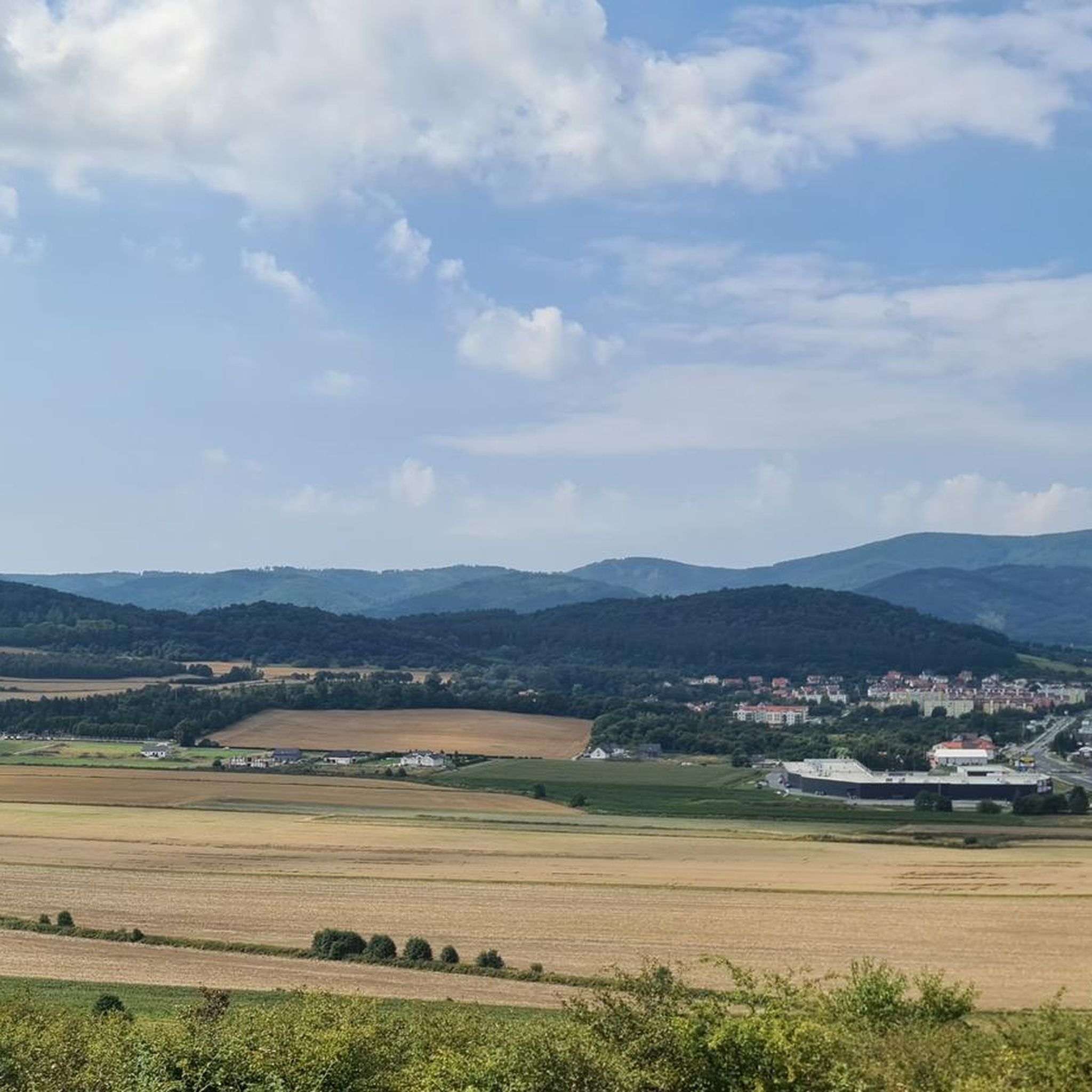
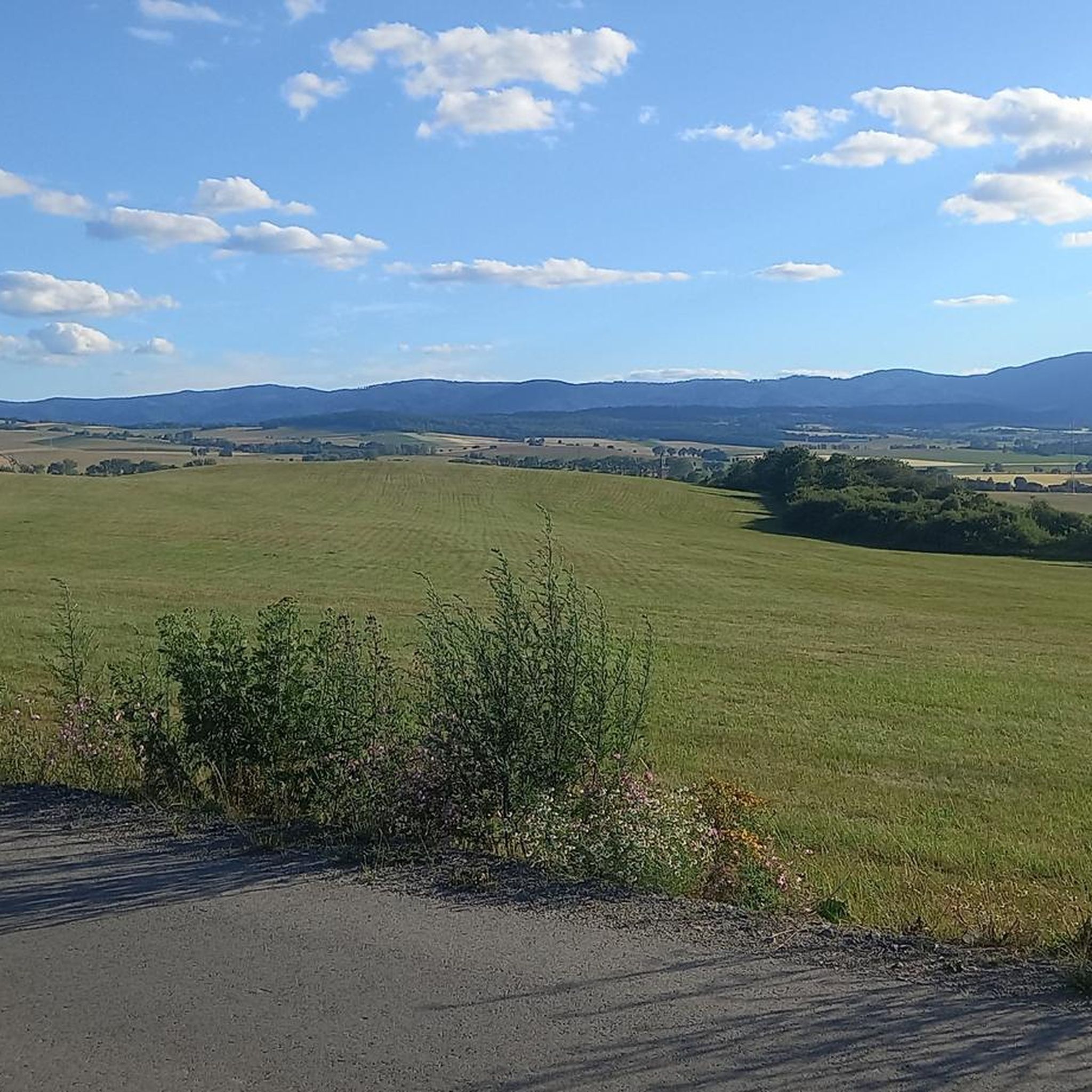
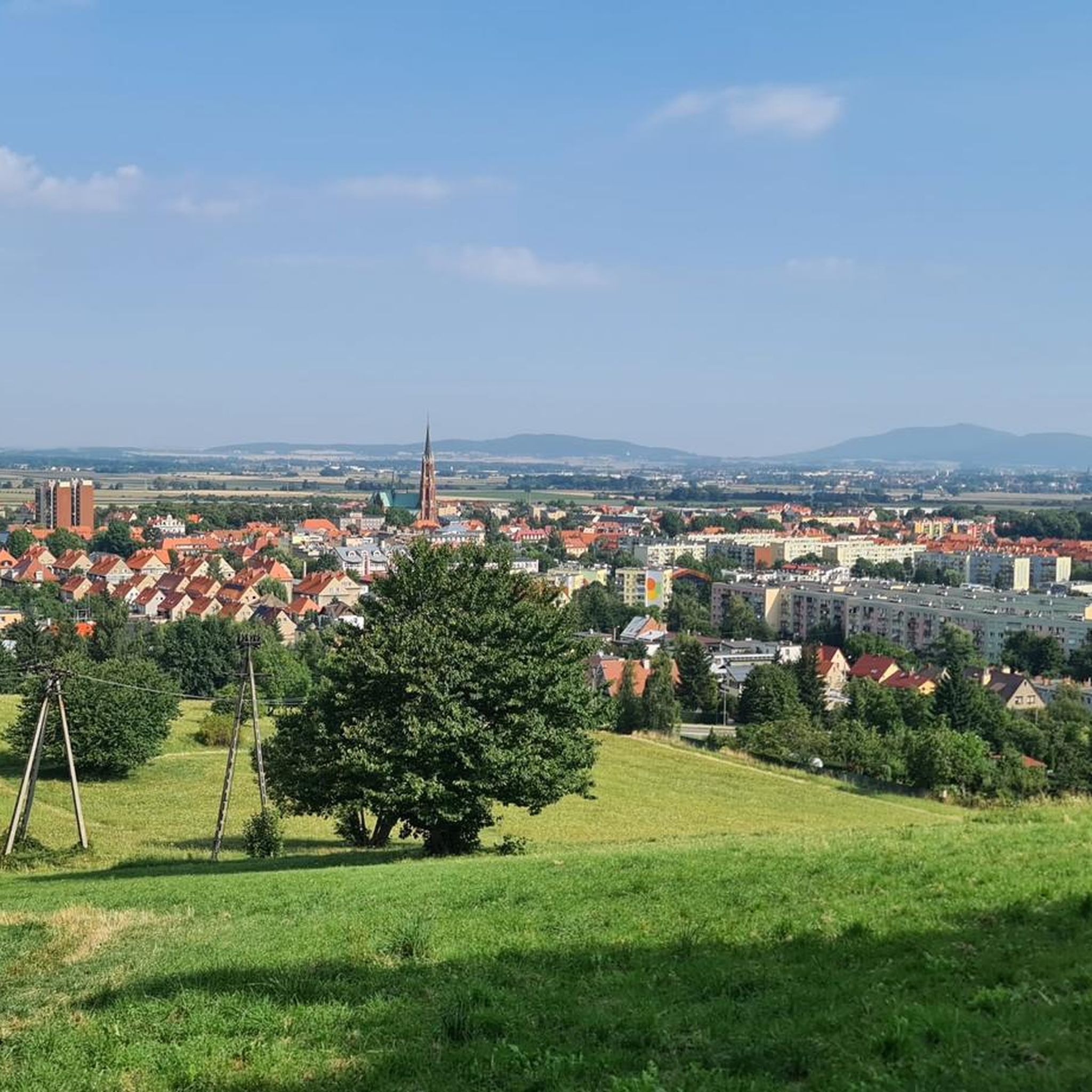
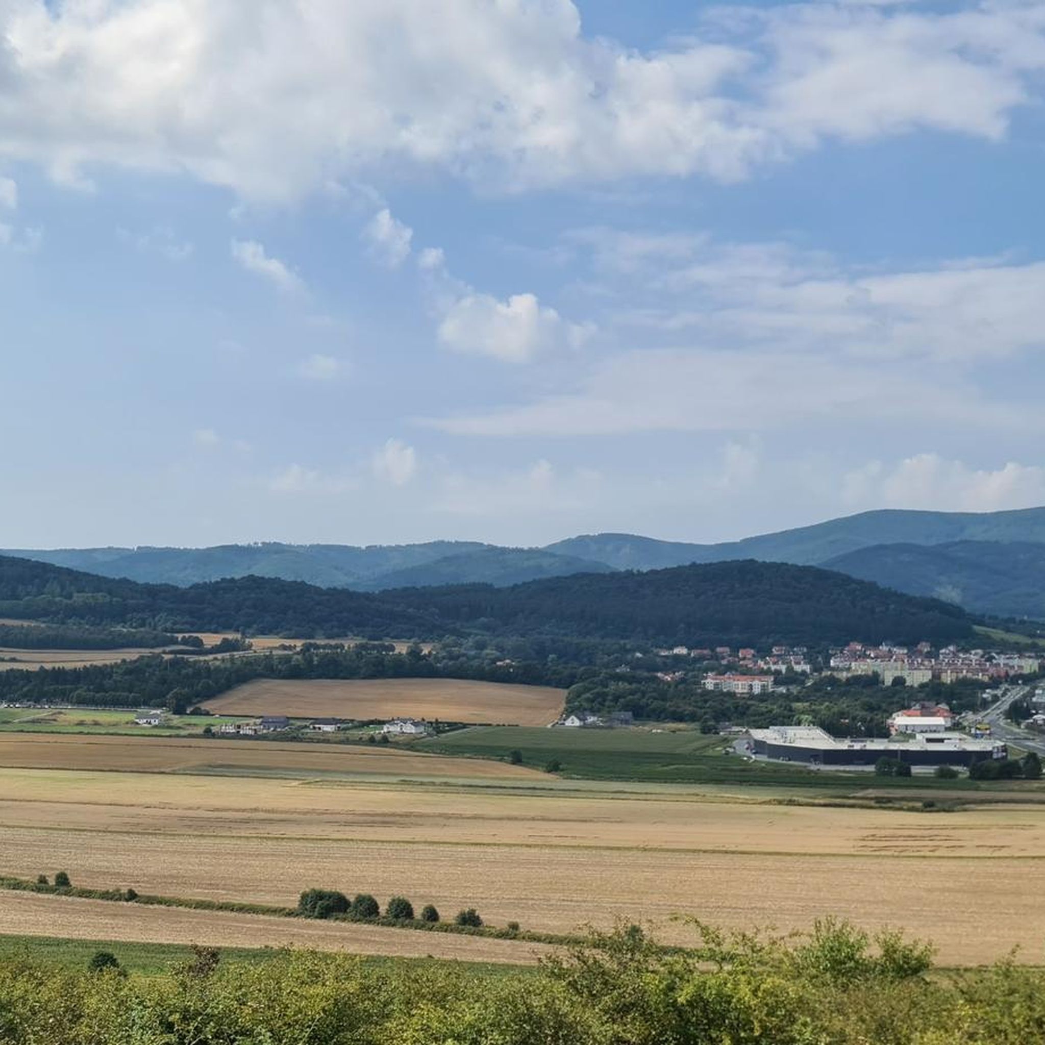
Viewpoint with a panorama of the Owl Mountains
0
0

You don't necessarily expect a cafe in such a small village. Pies, cakes and ice cream.
0
0
In the middle of nowhere is a modern café and ice cream parlor. Although I had just eaten, I had to go in there.
0
0
Frequently Asked Questions
How many hiking trails are available around Dzierżoniów?
The Dzierżoniów area offers a wide variety of hiking experiences, with over 100 trails to choose from. These routes cater to different preferences, ranging from easy strolls to more challenging mountain ascents within the Owl Mountains.
What is the overall difficulty level of hiking trails in the Dzierżoniów area?
The trails around Dzierżoniów offer a good mix of difficulties. Approximately 46 routes are considered easy, 41 are moderate, and 22 are more difficult, providing options for hikers of all experience levels.
What natural features can I expect to see while hiking in the Dzierżoniów region?
Hikers in Dzierżoniów will encounter the diverse landscapes of the Owl Mountains, including dense forests and varied terrain. Notable natural features include the unique dwarf beech forest in the Rezerwat Bukowa Kalenica, parts of the Ślęża Massif, and the protected Owl Mountains Landscape Park. The region is also home to diverse wildlife, such as mouflons, deer, and wild boars.
Are there any notable viewpoints or towers along the hiking trails in Dzierżoniów?
Yes, the Owl Mountains offer several excellent viewpoints. You can find viewing towers on peaks like Wielka Sowa (1015m) and Kalenica (964m), providing expansive panoramas. Other scenic spots like Koci Grzbiet and Ostra Góra also offer great views of the mountains and surrounding area. The Dzierżoniów Town Hall Tower provides views of the entire Dzierżoniów Basin.
Are there any historical landmarks or castles to explore near the hiking routes?
Yes, the Dzierżoniów area is rich in historical sites. You can explore several palaces and castles, such as Krzyżowa Palace, Pieszyce Palace, Gladishof Palace, Dobrocin Palace, and Gola Dzierżoniowska Castle, many of which are accessible from various hiking paths.
Are there family-friendly hiking options around Dzierżoniów?
Yes, Dzierżoniów offers several easy routes suitable for families. For example, the Two Oaks – Three Oaks loop from gmina Dzierżoniów is a 5.2 km (3.2 miles) trail through local woodlands, often completed in about 1 hour 20 minutes, making it a good choice for a family outing.
Can I find circular hiking routes in Dzierżoniów?
Absolutely. Many trails in the Dzierżoniów area are designed as loops, allowing you to start and end at the same point. An example is the Roztocznik Palace Park – Pałac Roztočnik loop from Dzierżoniów County, which is an easy 6.1 km (3.8 miles) hike.
Are there trails suitable for advanced hikers seeking a challenge?
Yes, for more experienced hikers, the Owl Mountains provide challenging ascents. The region features 22 difficult routes, often leading to higher peaks and offering more significant elevation changes. These trails can include sections of the Główny Szlak Sudecki im. M. Orłowicza (red trail) which passes through the most demanding parts of the mountains.
What is the best time of year for hiking in Dzierżoniów?
The Dzierżoniów region is suitable for hiking throughout the year. Spring and autumn offer pleasant temperatures and vibrant scenery, with the Arboretum Wojsławice being particularly stunning during rhododendron and azalea blooms. Summer is ideal for enjoying Lake Bielawskie, while winter transforms the area into a snowy landscape, offering opportunities for winter hiking and cross-country skiing.
Are there mountain shelters or places to rest along the trails?
Yes, hikers in the Owl Mountains can find respite at several mountain shelters. Notable options include Orzeł, Sowa, and Zygmuntówka, which are conveniently located along various trails and offer amenities for a comfortable break.
What do other hikers say about the trails around Dzierżoniów?
The hiking trails in Dzierżoniów are highly regarded by the komoot community, holding an average rating of 4.8 stars from over 130 reviews. Hikers often praise the varied forest paths, the scenic viewpoints from peaks and towers, and the well-maintained network of trails that cater to different ability levels.
Are there any trails that pass by water features like lakes or rivers?
While the primary focus is on mountain trails, the region does feature Lake Bielawskie, which has a walking path encircling it. This lake offers opportunities for water activities in warmer months and can be a pleasant addition to a hike, especially for those looking for a flatter, lakeside experience.
Is it possible to reach hiking trailheads using public transport in Dzierżoniów?
The Dzierżoniów area has various marked trails originating from or passing through Dzierżoniów and nearby towns like Piława Dolna, Bielawa, and Pieszyce. While specific public transport connections to every trailhead may vary, these towns often serve as good starting points, suggesting that some trailheads are accessible via local transport.
Most popular routes around Dzierżoniów
Most popular attractions around Dzierżoniów

Get inspired with the komoot mobile app


Explore more
Browse the best Hikes in other regions.
