The best walks and hikes around gmina Nowa Sól
4.8
(117)
692
hikers
130
hikes
Hiking around gmina Nowa Sól offers a network of trails primarily characterized by flat river plains and extensive forested areas. The region's low elevation gain across most routes indicates a gentle landscape suitable for various activity levels. Trails often incorporate local cultural landmarks and natural features, providing diverse scenic viewpoints. The area is well-suited for those seeking easy hiking trails gmina Nowa Sól with parking or public transport access.
Best hiking trails around gmina Nowa Sól
- The most popular hiking…
Last updated: October 7, 2026
4.4
(5)
12
hikers
6.84km
01:44
10m
10m
Easy hike. Great for any fitness level. Easily-accessible paths. Suitable for all skill levels.
5.0
(7)
16
hikers
Easy hike. Great for any fitness level. Easily-accessible paths. Suitable for all skill levels.

10
hikers
6.90km
01:47
40m
40m
Easy hike. Great for any fitness level. Easily-accessible paths. Suitable for all skill levels.
4
hikers
6.36km
01:36
10m
10m
Easy hike. Great for any fitness level. Easily-accessible paths. Suitable for all skill levels.
5.0
(1)
5
hikers
Moderate hike. Good fitness required. Easily-accessible paths. Suitable for all skill levels.
Get access to more routes and recommendations from other explorers.
Already have an account?
Our route recommendations are based on thousands of hikes, rides, and runs completed by other people on komoot.
Start today with a free account
Your next adventure awaits.
Tips from the Community

Revitalized 18th century Salt Warehouse. One of the four oldest monuments in Nowa Sól. Currently a significant cultural center.
0
0

Built between 2013 and 2015 by the Sława Forest District. Wooden structure – skeleton, made mainly of spruce and larch, approx. 40 m high, with two viewing platforms at a height of 20 and 36 m
2
0
June 2025 - Entry prohibited, renovation.
2
0

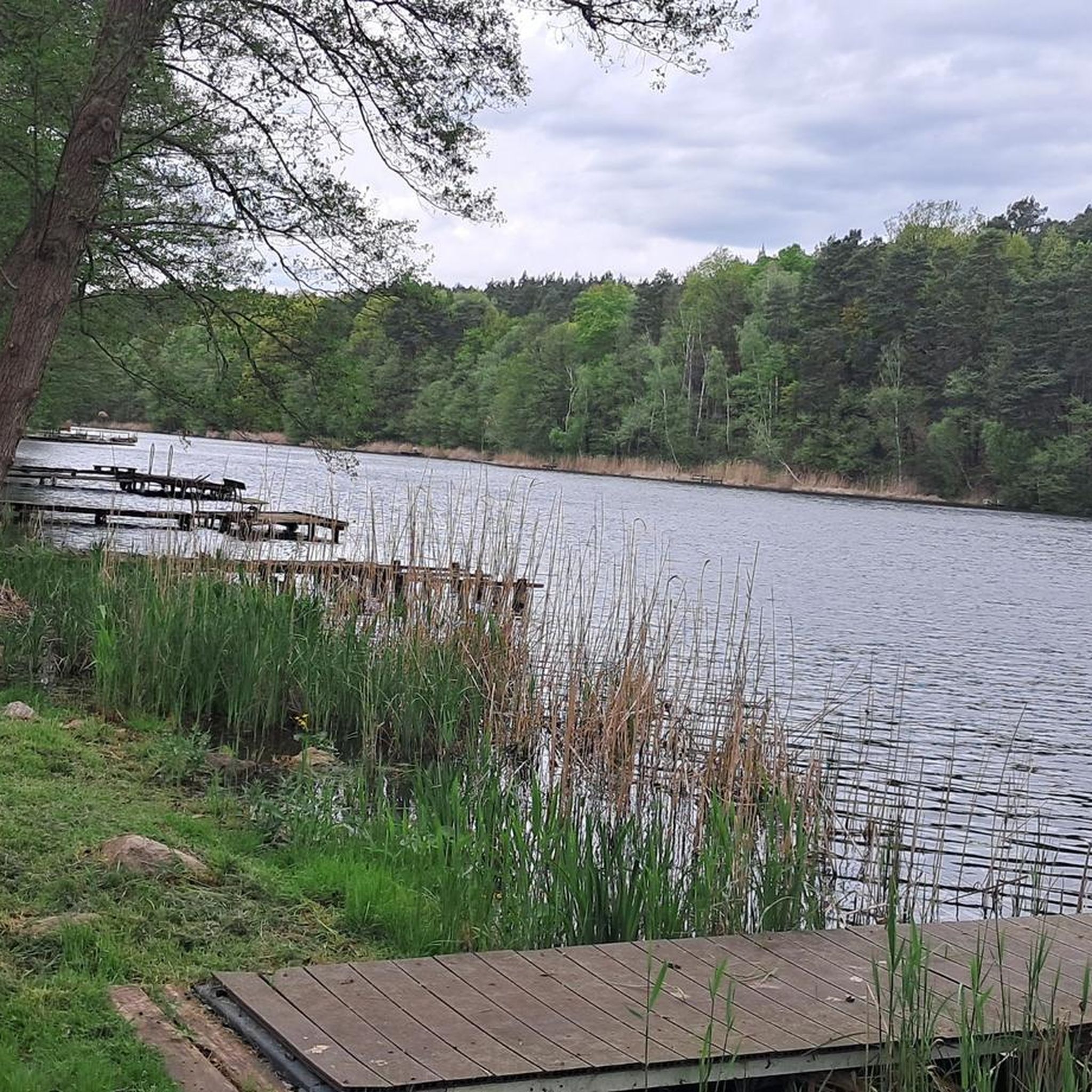
Jezioro Sławskie, located in the Lubusz Voivodeship of western Poland, is the region's largest lake, covering approximately 8.17 square kilometers. The lake features seven islands. and is fed by the Czernica and Cienica rivers, while the Obrzyca River flows out from it. Surrounded by towns such as Sława, Radzyń, and Lubiatów, Jezioro Sławskie is a popular destination for water sports, fishing, and tourism, and is also a great spot to stop as you ride around the area.
0
0

The facility is very well-maintained, you can enter safely. There is a parking lot, a place to sit, there are toilets and bins for segregated waste. The views from the tower are amazing. Free entry!
0
0
Frequently Asked Questions
How many hiking trails are available in gmina Nowa Sól?
There are over 90 hiking routes in gmina Nowa Sól. The region offers a diverse network of trails, with 63 easy routes, 24 moderate routes, and 4 more challenging options.
What kind of terrain can I expect on hikes in gmina Nowa Sól?
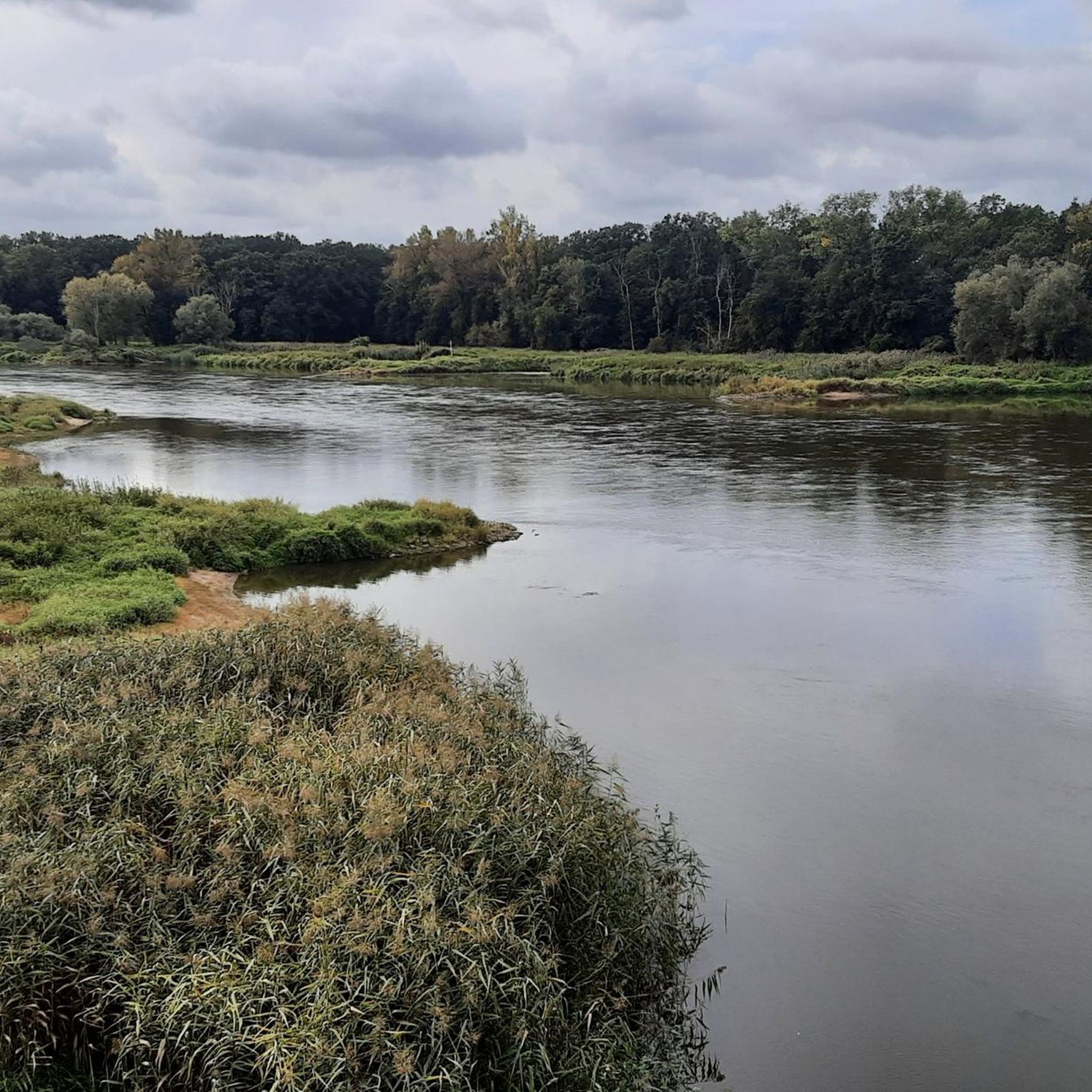
Hiking in gmina Nowa Sól is characterized by flat river plains and extensive forested areas. The routes generally have low elevation gain, making them suitable for various activity levels. You'll find trails that incorporate local cultural landmarks and natural features, offering diverse scenic viewpoints.
Are there family-friendly hiking options in gmina Nowa Sól?
Yes, gmina Nowa Sól is well-suited for families. Many of the 63 easy routes are ideal for all ages. For example, the Nowa Sól Lift Bridge – Park Krasnal loop from Nowa Sól is an easy 4.2 km path that explores local attractions, perfect for a family outing.
Can I find circular hiking routes in gmina Nowa Sól?
Yes, many of the trails in gmina Nowa Sól are designed as loops. For instance, the Joanna Observation Tower loop from Lubiatów is a popular 7.3 km circular route that takes you through wooded areas to an observation tower. Another option is the Leśna Beech Tree loop from Zatorze, an easy 6.4 km path.
What interesting landmarks or attractions can I see along the hiking trails?
The trails often pass by historical and natural points of interest. You can explore sites like the Stany Railway Bridge over the Oder River, the Zatonie Palace Ruins, or the Broniszów Castle. The Graduation Tower – Palace in Sława loop from Lubiatów specifically connects historical landmarks and natural areas.
Are there any trails that follow the Oder river?
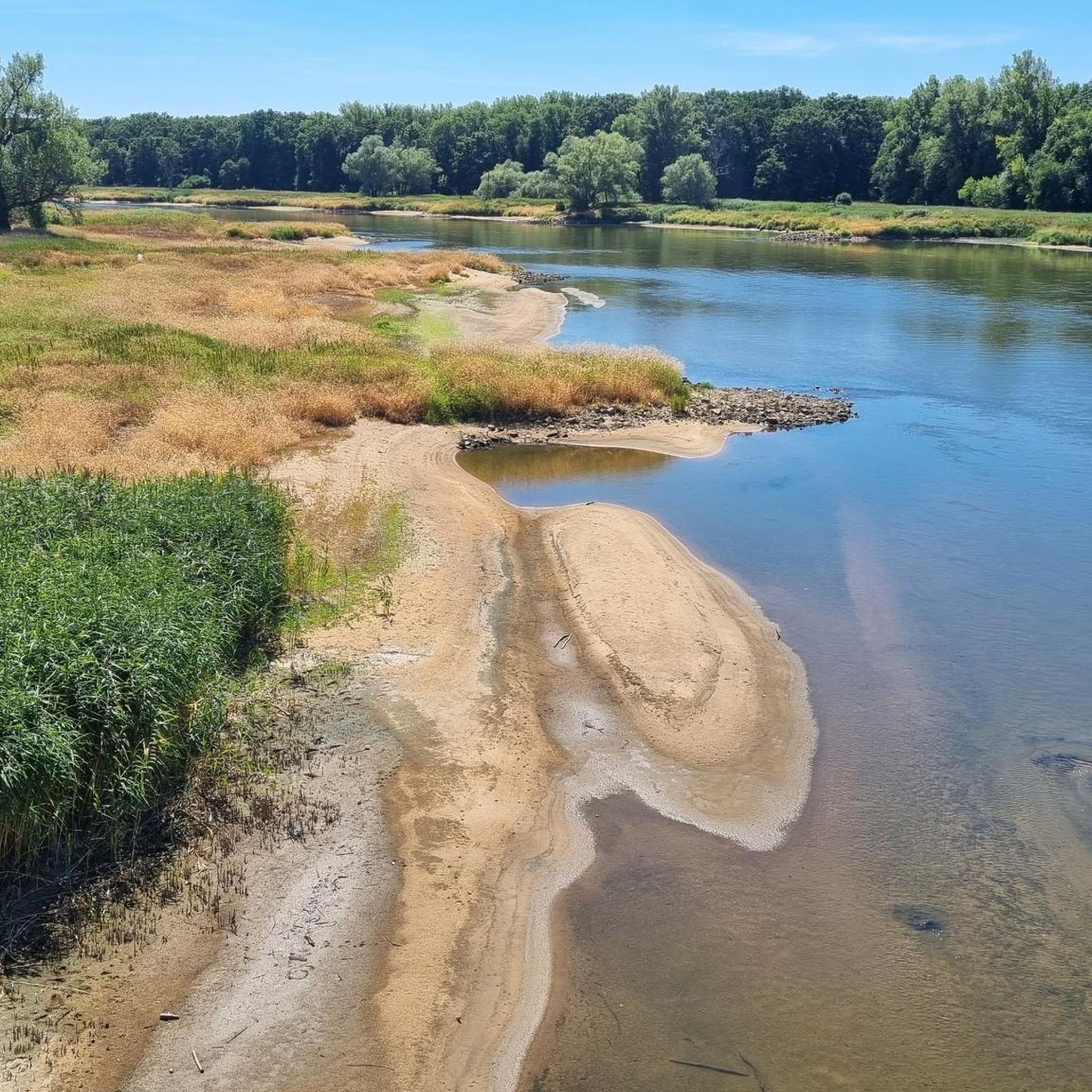
Yes, some routes in gmina Nowa Sól follow the Oder river. The Former Szczeciniarnia Factory loop from Nowa Sól is an easy 6.4 km path that follows the Oder river and explores local industrial heritage.
What do other hikers say about the trails in gmina Nowa Sól?
The hiking routes in gmina Nowa Sól are highly rated by the komoot community, with an average score of 4.8 stars from over 80 reviews. Hikers often praise the quiet forested paths, the gentle terrain, and the opportunity to discover local cultural sites.
Are there any trails with observation towers or scenic viewpoints?
Yes, the region offers trails leading to observation points. The Joanna Observation Tower loop from Lubiatów is a 7.3 km trail that leads through wooded areas directly to an observation tower, providing elevated views of the surroundings.
Is it possible to access hiking trails using public transport in gmina Nowa Sól?
The area is noted for offering routes with public transport access, making it convenient for hikers without a car. Many trails start near towns or villages that are served by local transport.
Are there parking facilities available at the trailheads?
Yes, many of the hiking trails in gmina Nowa Sól are known to have parking available, especially for the easier routes, making them accessible for those traveling by car.
What is the longest hike I can do in gmina Nowa Sól?
One of the longer and more challenging routes is the Graduation Tower – Palace in Sława loop from Lubiatów. This difficult trail spans 24.3 km and typically takes about 6 hours and 11 minutes to complete.
Most popular routes around gmina Nowa Sól
Most popular attractions around gmina Nowa Sól

Get inspired with the komoot mobile app


Explore more
Browse the best Hikes in other regions.
