The best running trails around gmina Myślenice
4.4
(17)
1,694
runners
63
runs
Jogging around gmina Myślenice offers diverse natural landscapes, situated near the Carpathian Mountains. The region features rolling hills, extensive Carpathian forests, and the Raba River, providing varied terrain for runners. Prominent peaks like Chełm Mountain (654m) and Uklejna Mountain contribute to the area's elevation changes and scenic viewpoints. This environment supports a range of running experiences, from riverside paths to challenging trail runs through forested hills.
Best jogging routes around gmina Myślenice
- The most popular jogging route is Kamiennik Południowy…
Last updated: October 17, 2026
5.0
(2)
195
runners
31.0km
04:02
1,050m
1,050m
Hard run. Very good fitness required. Mostly accessible paths. Some sure footedness required.
4.7
(3)
230
runners
16.9km
02:08
520m
520m
Hard run. Very good fitness required. Mostly paved surfaces. Suitable for all skill levels.

5.0
(1)
132
runners
50.8km
07:33
2,510m
2,510m
Hard run. Very good fitness required. Mostly accessible paths. Some sure footedness required.
23
runners
17.4km
01:50
160m
160m
Hard run. Very good fitness required. Mostly paved surfaces. Suitable for all skill levels.
34
runners
27.7km
03:36
940m
940m
Hard run. Very good fitness required. Mostly accessible paths. Some sure footedness required.
Get access to more routes and recommendations from other explorers.
Already have an account?
Our route recommendations are based on thousands of hikes, rides, and runs completed by other people on komoot.
Start today with a free account
Your next adventure awaits.
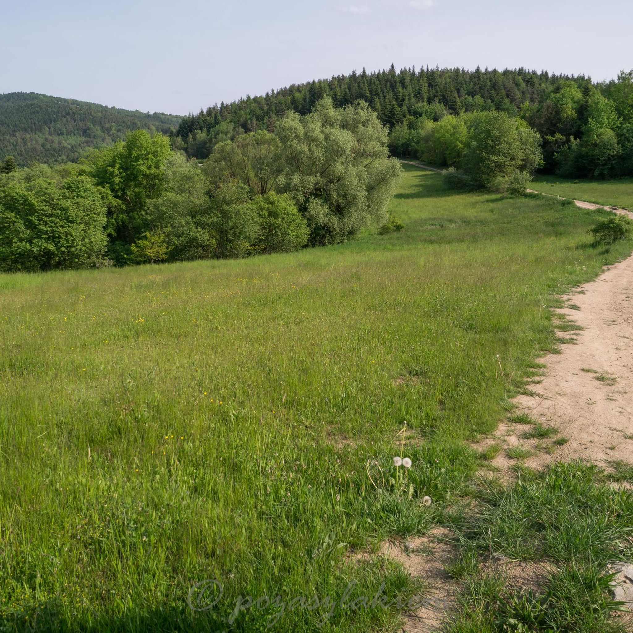
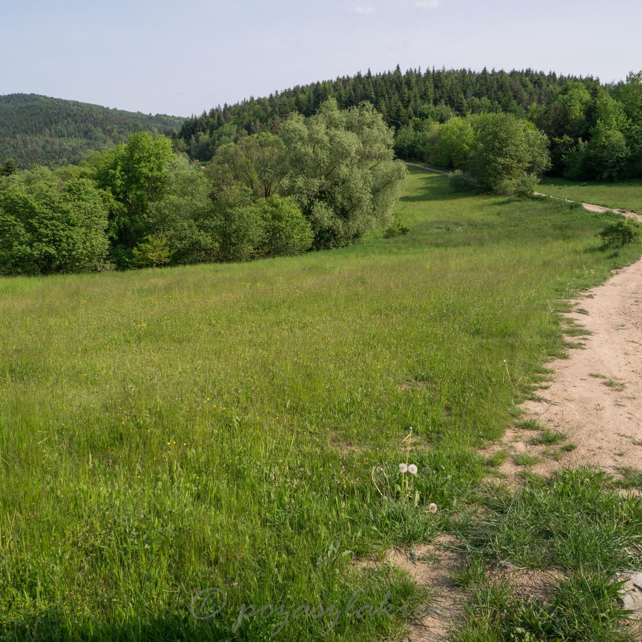
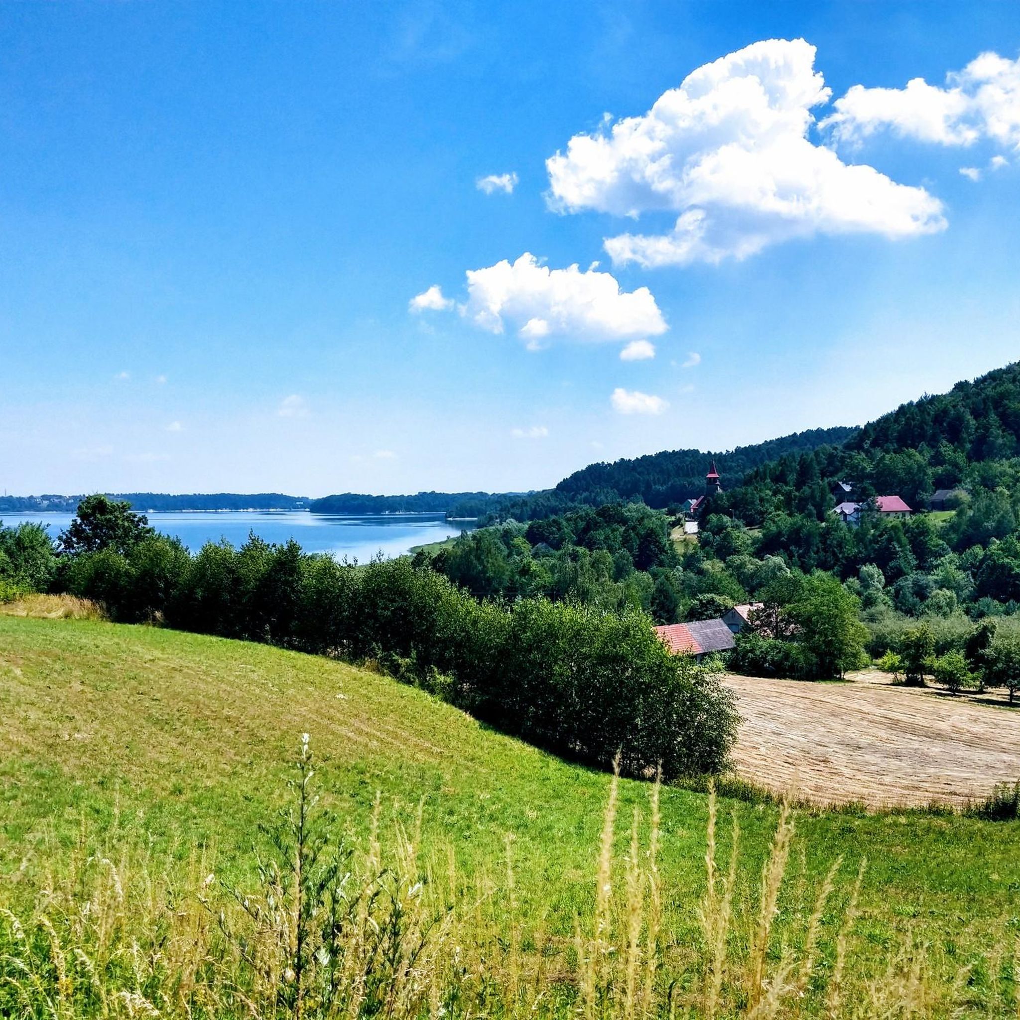
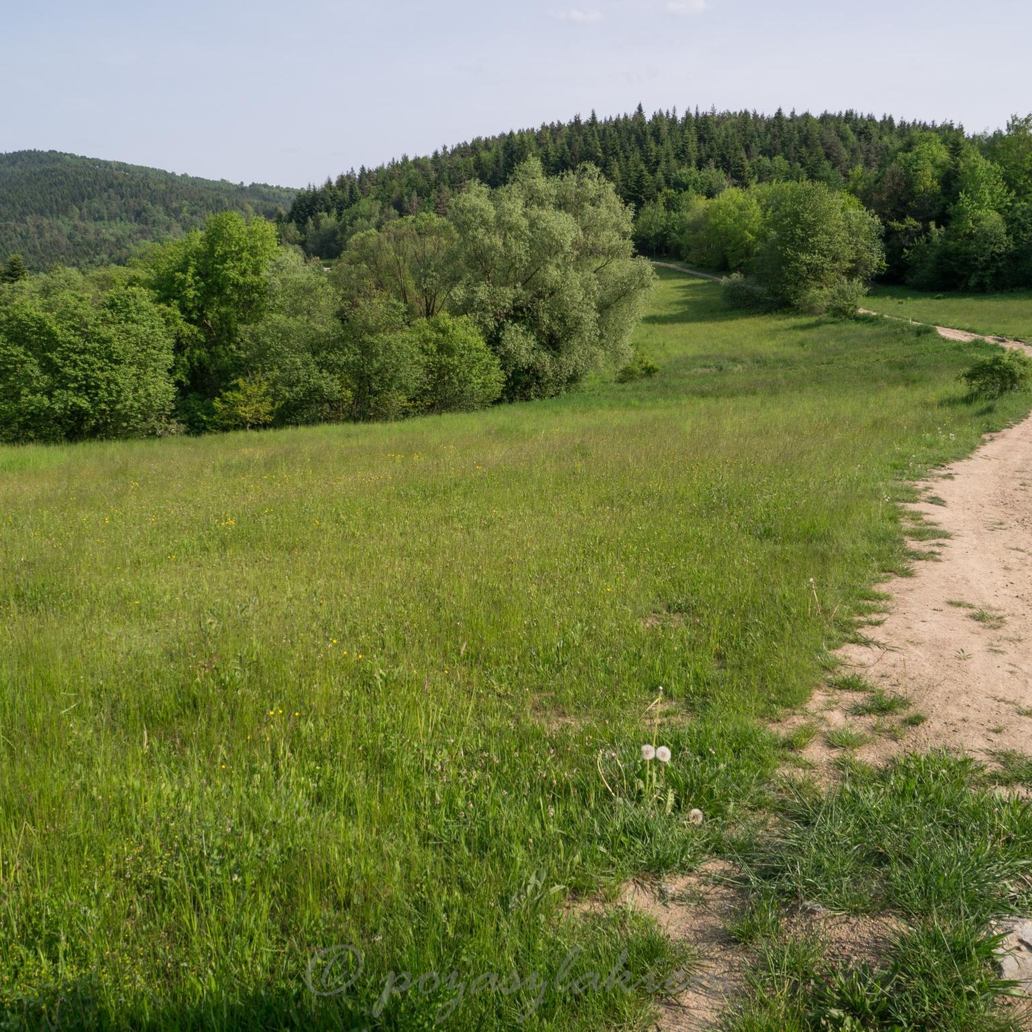


Tips from the Community

Near the summit there isn't much to see, but it's worth going a bit further along the red trail, and there awaits a fabulous view :)
0
0

Small tripp with beautiful views also with four climbs and one long descent
0
0

Shelter for rest, nice view of the glade.
0
0

This clearing is on Przełęcz Sucha at 710m above sea level. There is a shelter, a place for camping (you can light a fire) and an information board. There is also a monument commemorating the fights of local Home Army partisans during the war. It is easy to get here and it is a good place for a family picnic with children. The Lubomir and Kamiennik Północny peaks are also nearby.
1
0
This peak is included in the Crown of Polish Mountains - the highest peak of the Beskid Makowski. There is an astronomical observatory on the peak - open at certain hours, but not always. Lots of places to sit and shelters. The peak is forested, so you won't see much from it - but you have another peak of the Crown counted.
0
0
A beautiful shelter at an altitude of 730m above sea level in the Lubomir and Łysina Range of the Beskid Średni. Many trails intersect here, so as a base camp this place is great. Nice, modern rooms for overnight stays. There is a kitchen, but you have to bring your own food - they don't serve food here. More at https://kudlacze.pttk.pl/index.html
0
1

A very nice approach along the green trail from Poręba
0
0

the peak is covered with trees, so we won't be able to admire any views, but it's still worth it, especially in autumn, when there's a beautiful carpet of leaves under your feet
0
0
Frequently Asked Questions
How many running routes are available in Gmina Myślenice?
You can explore over 50 dedicated running routes around Gmina Myślenice. These routes offer a diverse range of experiences, from riverside paths to challenging mountain trails.
What kind of terrain can I expect on the running trails around Myślenice?
The region offers a varied landscape for runners, including rolling hills, extensive Carpathian forests, and paths along the Raba River. You'll encounter prominent peaks like Chełm Mountain (654m) and Uklejna Mountain, providing both elevation changes and scenic views.
Are there any easy or beginner-friendly jogging routes in Gmina Myślenice?
Yes, while many routes are challenging, there are options for beginners. The area features 18 moderate routes and at least one easy route. For a moderate option, consider the Młaka Źródliskowa loop from Myślenice, which is just over 8 km long with manageable elevation.
Can I find long-distance running trails in the area?
Absolutely. Gmina Myślenice is excellent for long-distance running. For example, the Kamiennik Południowy – Łysina loop from Myślenice is a challenging 47 km path with significant climbs, offering expansive views. Another demanding option is the Kudłacze PTTK Mountain Hut loop from Myślenice, spanning over 27 km through forested areas.
Are there circular running routes available?
Yes, many of the running routes in Gmina Myślenice are circular, allowing you to start and finish at the same point. Examples include the Łysina – Lubomir loop from Łysiówka, which takes you through Carpathian forests, or the Młaka Źródliskowa loop from Myślenice for a shorter, moderate option.
What are some scenic viewpoints or landmarks I can see while running?
The region offers stunning views, particularly from peaks like Chełm Mountain, which provides vistas stretching to Kraków and the Tatra Mountains. You might also encounter highlights such as the Lubomir (804 m) – Highest Peak of Beskid Makowski or the Sucha Pass Memorial and Meadow. The Viewpoint loop from Myślenice is specifically designed to showcase the area's beauty.
What do other runners say about the trails in Gmina Myślenice?
The running routes in Gmina Myślenice are highly rated by the komoot community, with an average score of 4.3 stars from over 15 reviews. More than 1000 runners have used komoot to explore the varied terrain, often praising the beautiful natural surroundings and the diverse challenges offered by the Carpathian mountain ranges.
Is Gmina Myślenice suitable for family-friendly jogging or walks?
Yes, the region's beautiful natural surroundings with walking trails are suitable for families. While some routes are challenging, there are easier paths and areas like the Zarabie that are popular for recreational activities. The nearby Family Flow Trail also suggests family-oriented outdoor options.
Are the running trails in Gmina Myślenice dog-friendly?
Generally, most outdoor trails in natural areas like Gmina Myślenice are dog-friendly, especially if your dog is well-behaved and kept on a leash. It's always a good idea to check local signage for any specific restrictions in certain protected areas or private lands.
What is the best time of year for jogging in Gmina Myślenice?
Gmina Myślenice offers great outdoor opportunities throughout much of the year. Spring and autumn provide pleasant temperatures and vibrant scenery, ideal for running. Summer is also popular, though some trails might be warmer. The diverse terrain means you can find suitable routes in most seasons.
Are there any specific events or races for runners in Myślenice?
Yes, Myślenice has a local running culture and hosts events like the 'Garmin Ultra Race Myślenice' and the 'Puchar Burmistrza Miasta i Gminy Myślenice'. These events indicate well-established routes and a community that embraces competitive and recreational running.
Most popular routes around gmina Myślenice
Most popular attractions around gmina Myślenice

Get inspired with the komoot mobile app


Explore more
Browse the best Running Trails & Routes in other regions.
