The best walks and hikes around Georgsmarienhütte
4.4
(5084)
15,901
hikers
395
hikes
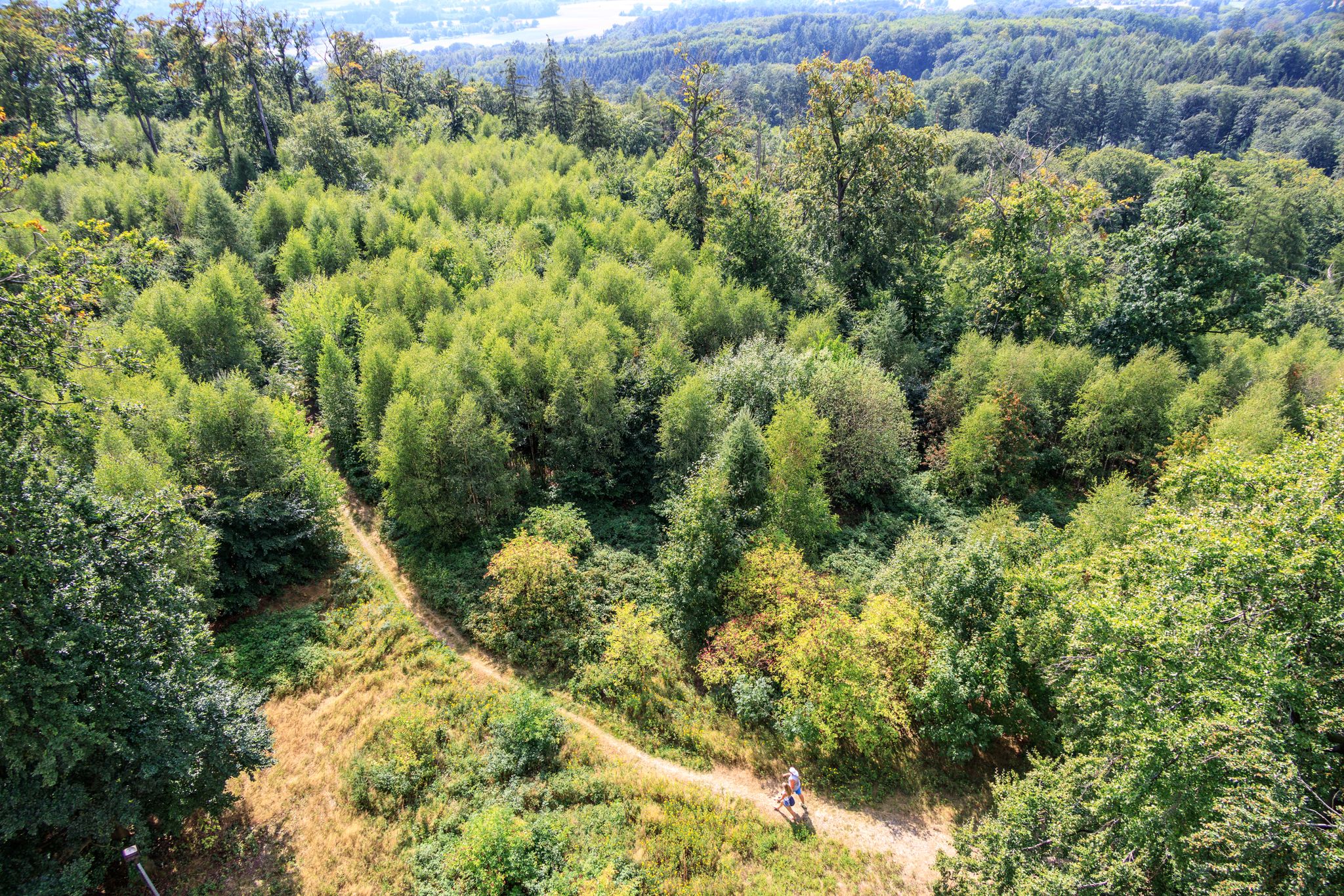
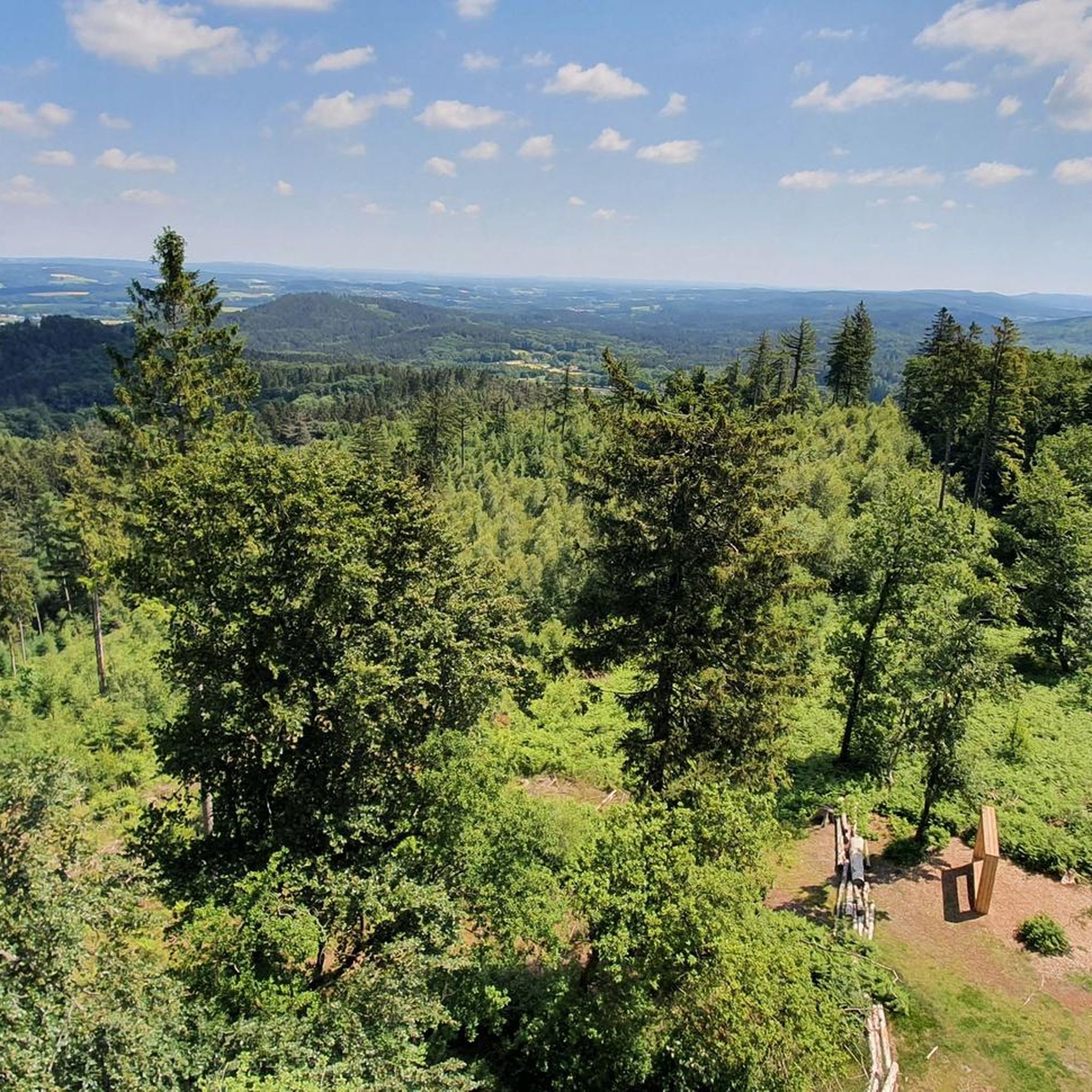
Hiking around Georgsmarienhütte offers diverse landscapes within the Teutoburg Forest and bordering the Münsterland region. The area is characterized by dense forests, rolling hills, and prominent elevations like the Dörenberg. This hill, the highest point in the TERRA.vita Nature and Geopark, provides extensive views across the region. The terrain includes varied paths suitable for exploring the natural features of this part of Lower Saxony.
Best hiking trails around Georgsmarienhütte
- The most popular hiking route is View of the Freden –…
Last updated: August 18, 2026
4.7
(134)
431
hikers
Moderate hike. Good fitness required. Easily-accessible paths. Suitable for all skill levels.
4.8
(72)
181
hikers
7.11km
02:04
190m
190m
Moderate hike. Good fitness required. Easily-accessible paths. Suitable for all skill levels.

Sign up for free
4.8
(227)
672
hikers
15.6km
04:21
300m
300m
Moderate hike. Good fitness required. Easily-accessible paths. Suitable for all skill levels.
4.8
(274)
669
hikers
Moderate hike. Good fitness required. Mostly accessible paths. Sure-footedness required.
4.5
(51)
159
hikers
9.40km
02:40
210m
210m
Moderate hike. Good fitness required. Easily-accessible paths. Suitable for all skill levels.
Get access to more routes and recommendations from other explorers.
Sign up for free
Already have an account?
Our route recommendations are based on thousands of hikes, rides, and runs completed by other people on komoot.
Start today with a free account
Your next adventure awaits.
Login or Signup

Other adventures around Georgsmarienhütte

Tips from the Community

Great view, the steep climb of 28% is also worth it 😉
0
0
The view was unfortunately quite overgrown 😉
0
0

👍 with E🚲
0
0

Always worth a hike, alternatively, with strong calves, you can also go by bike.
0
0

That's the duty to ensure traffic safety. They're removing benches everywhere. Crazy!
0
0

The bridge is unfortunately no longer there. Crossing the stream is only possible with some difficulty and possibly wet feet.
1
0
Frequently Asked Questions
How many hiking trails are available in Georgsmarienhütte?
Georgsmarienhütte offers a wide selection of hiking routes, with over 390 trails to explore. These range from easy walks to more challenging routes, ensuring there's something for every hiker.
What kind of landscapes can I expect while hiking in Georgsmarienhütte?
Hikers in Georgsmarienhütte will experience diverse landscapes characteristic of the Teutoburg Forest and the bordering Münsterland region. The area features dense forests, rolling hills, and prominent elevations like the Dörenberg, which is the highest point in the TERRA.vita Nature and Geopark. You can expect tranquil, scenic backdrops and views extending towards the Münsterland.
Are there any viewpoints offering panoramic views?
Yes, Georgsmarienhütte is known for its scenic viewpoints. The Hermann Tower on the Dörenberg provides breathtaking panoramic views from an elevation of 352 meters. Many trails incorporate this tower, such as the View of the Freden – Hermannsturm on the Dörenberg loop from Georgsmarienhütte. Additionally, trails around the Hüggel, like the Viewpoint Bench at Hüggel – View of the Borgberg from the Hüggel loop from Holzhausen, also offer excellent vistas.
Are there easy hikes suitable for beginners or families?
Absolutely. Georgsmarienhütte provides numerous easy walks perfect for beginners or families. Out of the nearly 400 routes, over 260 are classified as easy, offering gentle paths through the scenic surroundings. These trails are ideal for a relaxed day out in nature.
Are there challenging hikes for experienced hikers?
While many routes are moderate or easy, Georgsmarienhütte does offer some more challenging options for experienced hikers. There are 8 routes classified as difficult, providing greater elevation changes and longer distances for those seeking a more strenuous adventure in the Teutoburg Forest.
What interesting sights or landmarks can I see along the hiking trails?
Beyond the natural beauty, you can discover several interesting landmarks. The Hermann Tower on the Dörenberg is a major highlight. Nearby, you can also explore historical sites like Bad Iburg Castle and Charlottensee Park. For natural features, consider trails that pass through areas like the Zittertal Valley or the Hüggelschlucht Descent in Natur- und Geopark TERRA.vita.
Are there any circular hiking routes in Georgsmarienhütte?
Yes, many of the hiking trails in Georgsmarienhütte are designed as circular routes, allowing you to start and end at the same point. Examples include the popular View of the Freden – Hermannsturm on the Dörenberg loop from Georgsmarienhütte and the Hermann Tower on the Dörenberg – View of Iburg Castle loop from Bad Iburg.
What do other hikers say about the trails in Georgsmarienhütte?
The hiking trails in Georgsmarienhütte are highly regarded by the komoot community, with an average rating of 4.5 stars from over 4,100 reviews. Hikers often praise the well-maintained paths, the diverse scenery, and the rewarding views from points like the Hermann Tower.
How long do hikes typically take in Georgsmarienhütte?
Hiking durations vary significantly depending on the route's length and difficulty. For example, the Grafensundern Forest Trail – View of Georgsmarienhütte loop from Nottberg, at 7.1 km, typically takes around 2 hours. Longer routes like the Hermann Tower on the Dörenberg – View of Iburg Castle loop from Bad Iburg (16.6 km) can take closer to 5 hours.
Are there any trails that feature water elements like lakes or gorges?
Yes, the region around Georgsmarienhütte offers trails that include water features. You can find beautiful lakes such as Rubbenbruch Lake and Heideseen. Additionally, there are impressive gorges like the Noller Gorge, providing varied natural experiences.
Can I bring my dog on the hiking trails in Georgsmarienhütte?
Many trails in Georgsmarienhütte are suitable for hiking with dogs. It's generally advisable to keep your dog on a leash, especially in nature reserves or areas with wildlife, and to respect local regulations. Always ensure your dog is well-behaved and that you clean up after them to maintain the natural environment for everyone.
What is the best time of year to go hiking in Georgsmarienhütte?
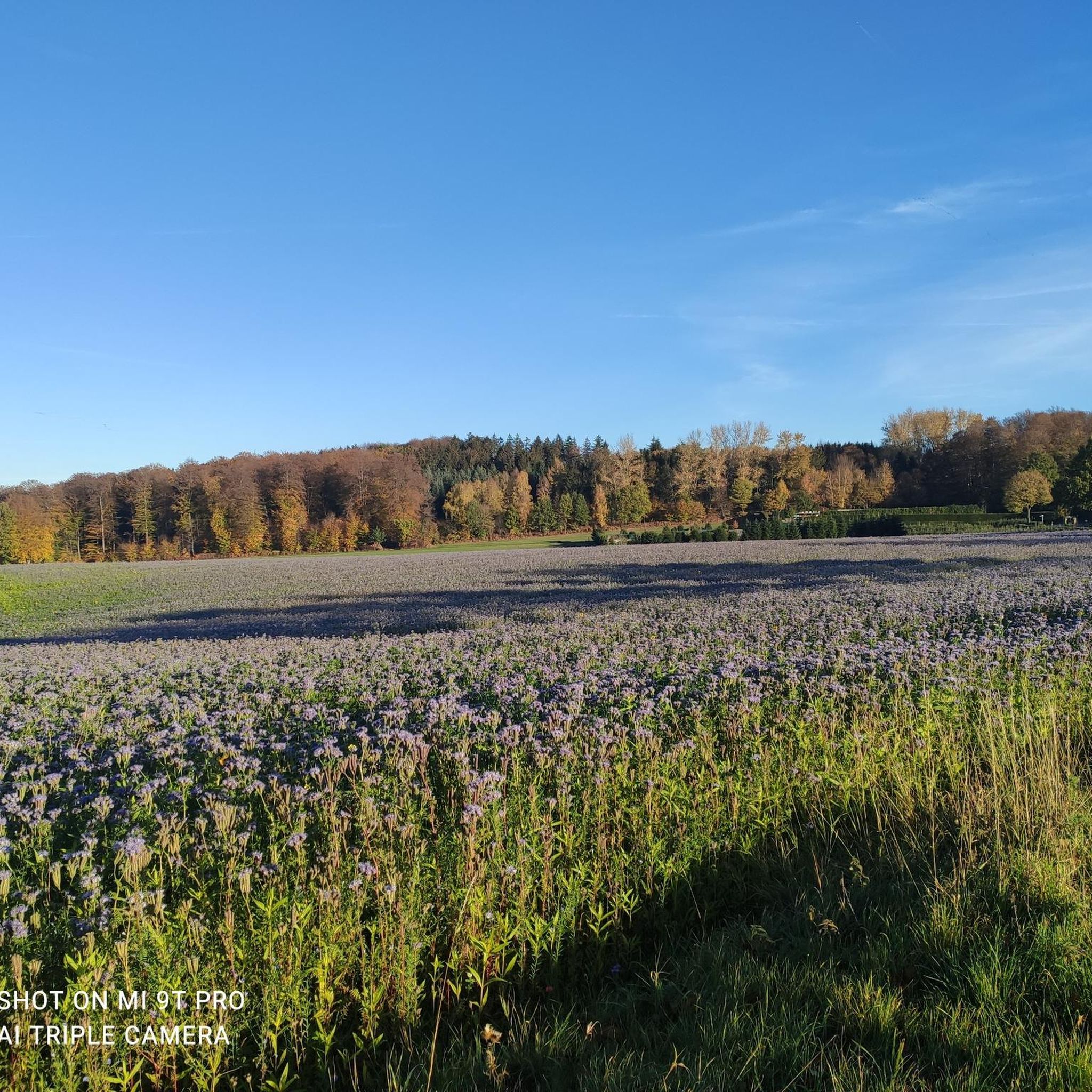
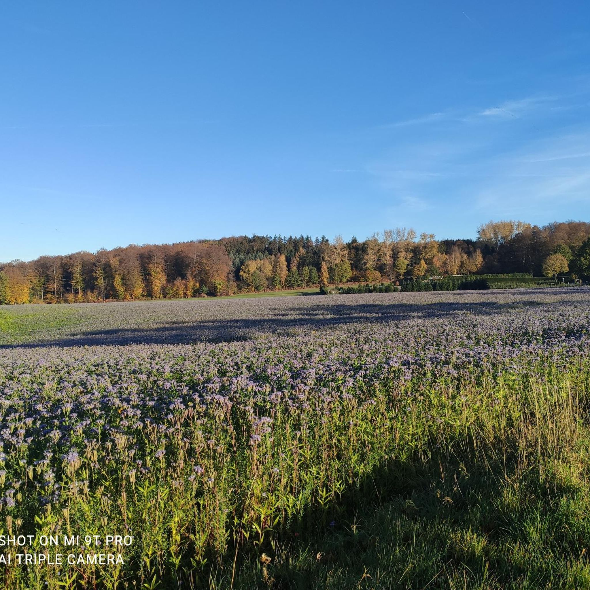
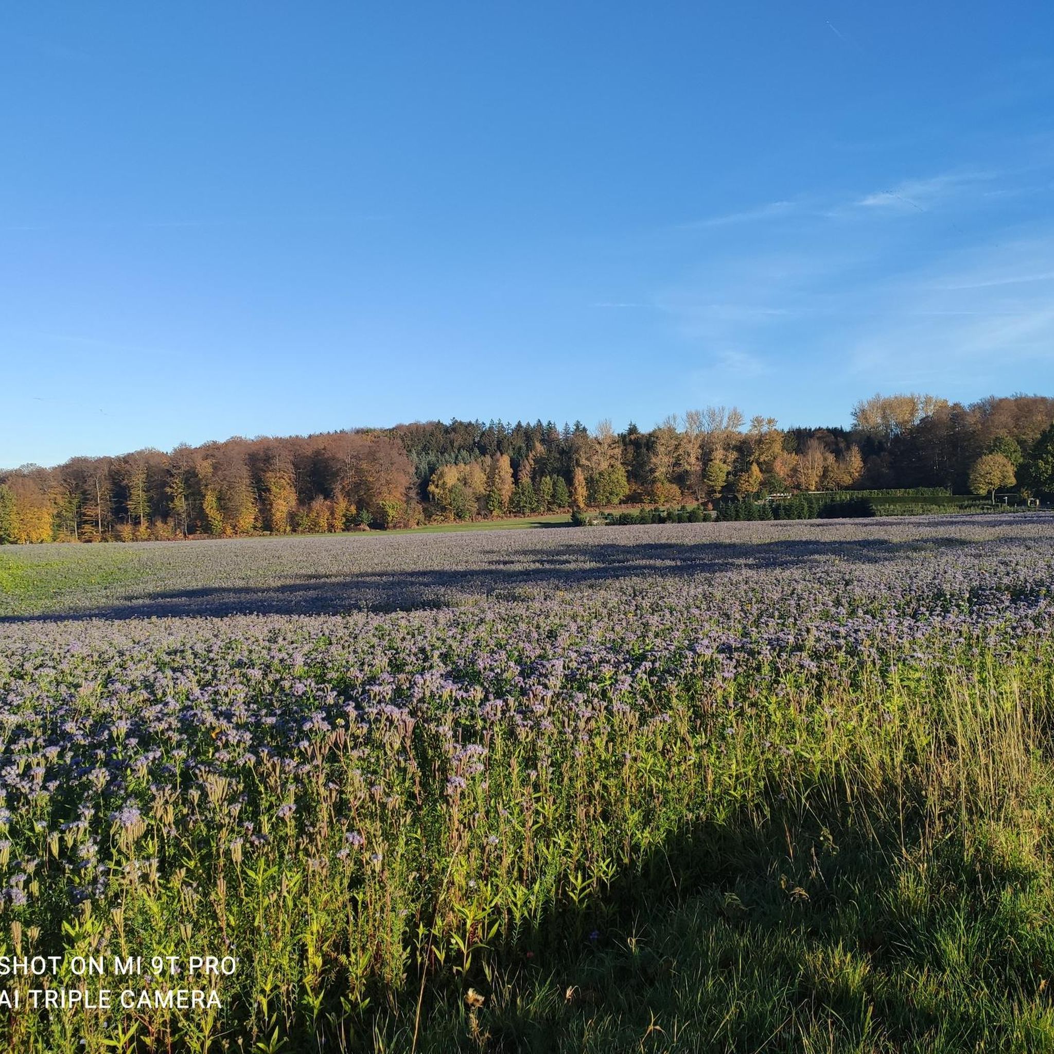
Georgsmarienhütte offers enjoyable hiking experiences throughout the year. Spring brings blooming flora, while summer provides lush green forests. Autumn is particularly beautiful with vibrant fall colors, and even winter offers serene, crisp walks, especially on cleared paths. The best time depends on your preference for weather and scenery.
Most popular routes around Georgsmarienhütte
Most popular attractions around Georgsmarienhütte

Get inspired with the komoot mobile app


Explore more
Browse the best Hikes in other regions.
