The best walks and hikes around gmina Jodłowa
4.5
(25)
332
hikers
24
hikes
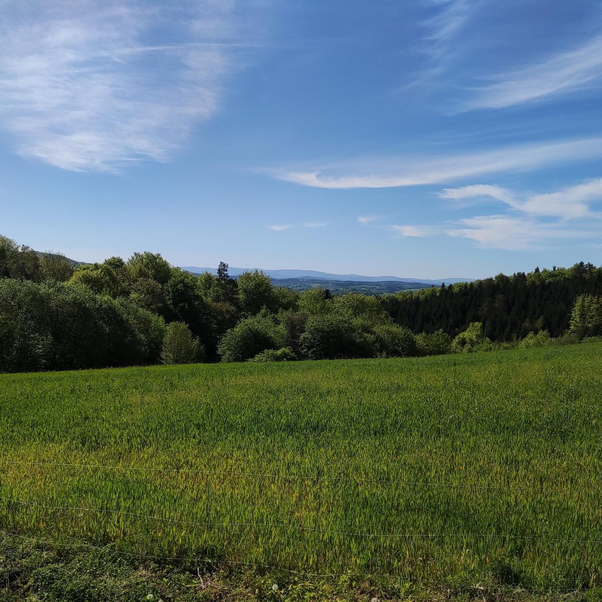
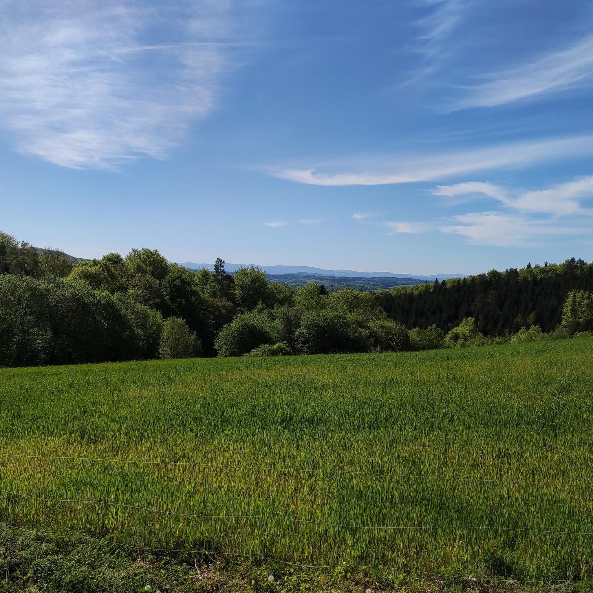
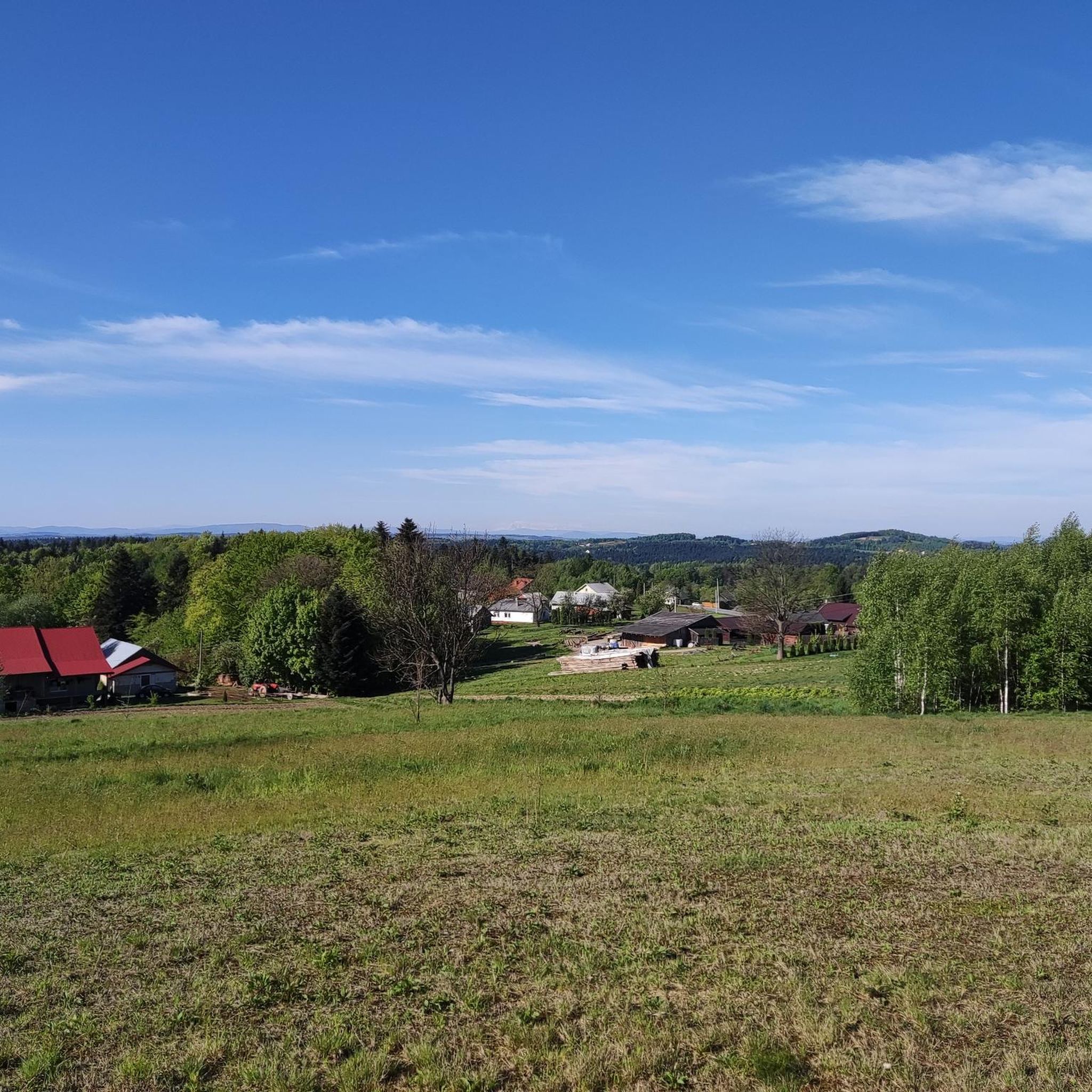
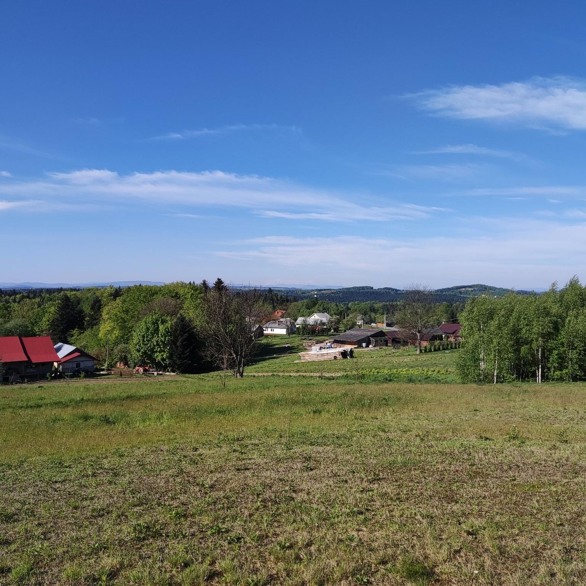
Hiking around gmina Jodłowa offers diverse natural features within the Brzanka Range Landscape Park and the Ciężkowicko-Rożnowski Landscape Park. The region is characterized by picturesque slopes ranging from 220 to 410 meters above sea level, deep stream valleys, and lush meadows. Forests cover a significant portion of the gmina, providing varied terrain for outdoor activities. Mount Liwocz, at 562 meters, is a notable peak offering expansive views.
Best hiking trails around gmina Jodłowa
- The most popular hiking route is Loop Reserve Liwocz - Góra Liwocz, a 2.9 miles (4.7 km) trail that takes 1 hour 25 minutes to complete. This easy route leads to Mount Liwocz, known for its viewing platform.
- Another top favourite among local hikers is Ostry Kamień – Shepherd's Hut on Brzanka loop from Park Krajobrazowy Pasma Brzanki, a moderate 4.6 miles (7.4 km) path. This trail includes a mountain shelter on Brzanka, offering a resting point.
- Local hikers also love the Diabli Kamień Rocks – Mountain Hut Brzanka loop from Park Krajobrazowy Pasma Brzanki, a 7.9 miles (12.7 km) trail leading through the Brzanka Range Landscape Park, often completed in about 3 hours 45 minutes.
- Hiking around gmina Jodłowa is defined by varied terrain, including deep stream valleys, forested areas, and gentle hills. The network offers options for different ability levels, from easy walks to more challenging excursions.
- The routes in gmina Jodłowa are highly rated by the komoot community with an average score of 4.5 stars from over 30 reviews. More than 300 hikers have used komoot to explore gmina Jodłowa's varied terrain.
Last updated: July 10, 2026
5.0
(1)
8
hikers
4.72km
01:25
150m
150m
Easy hike. Great for any fitness level. Easily-accessible paths. Suitable for all skill levels.
5.0
(5)
111
hikers
3.96km
01:15
160m
160m
Easy hike. Great for any fitness level. Easily-accessible paths. Suitable for all skill levels.

Sign up for free
4.7
(6)
10
hikers
27.3km
07:26
400m
400m
Hard hike. Very good fitness required. Easily-accessible paths. Suitable for all skill levels.
5.0
(1)
12
hikers
16.7km
04:58
510m
510m
Moderate hike. Good fitness required. Easily-accessible paths. Suitable for all skill levels.
5.0
(1)
8
hikers
7.78km
02:24
280m
280m
Moderate hike. Good fitness required. Easily-accessible paths. Suitable for all skill levels.
Get access to more routes and recommendations from other explorers.
Sign up for free
Already have an account?
Our route recommendations are based on thousands of hikes, rides, and runs completed by other people on komoot.
Start today with a free account
Your next adventure awaits.
Login or Signup
Tips from the Community

Unfortunately, on April 30, the bacówka on Brzanka ceased its operations.
0
0

A great mountain shelter in Jodłówka Tucholska at an altitude of 508 m above sea level. You will eat well here and there are also accommodations - take a look at the mountain shelter's website http://www.brzanka.pl/ You are of course in a beautiful natural environment: beautiful green trees everywhere (in winter it will probably be snowy and white here), and the panorama from the top is so extraordinary that you are already being born into another Adam Mickiewicz! There is a great observation tower nearby, which of course you are already climbing.
1
0

The Liwocz nature reserve was established in 2004 to protect plant communities typical of the higher parts of the Więcwice Foothills and the sites of protected plants and animals. We will mainly see the Carpathian beech forest here. Within the reserve, there is a nature trail with information boards that leads to Mount Liwocz (562 m above sea level), where from the viewing platform we can admire the view of the foothills with the Wisłoka flowing below.
2
0

A beautiful place to rest and sit. Tasty dishes at good prices.
0
0
Beautiful panorama. I guess it's open 24 hours a day.
1
0

I recommend preparing water and something to eat! Good shoes and humor! (The trail is approx. 2 km long, so children can easily manage it!
1
0

Very nice place for the rest of the spot with a rocky top things
1
0
Frequently Asked Questions
What kind of terrain can I expect on hiking trails in gmina Jodłowa?
The terrain in gmina Jodłowa is quite varied, offering picturesque slopes ranging from 220 to 410 meters above sea level. You'll encounter deep stream valleys, lush meadows, cultivated fields, and significant forested areas. The region is known for its gentle hills, making for enjoyable walks and longer excursions suitable for a wide range of hikers.
Are there any easy hiking trails suitable for beginners or families in gmina Jodłowa?
Yes, gmina Jodłowa offers several easy trails perfect for beginners and families. For instance, the Loop Reserve Liwocz - Góra Liwocz is an easy 4.7 km route that takes about 1 hour 25 minutes to complete and leads to the viewing platform on Mount Liwocz. Another accessible option is the Liwocz Observation Tower – View from Góra Liwocz loop from gmina Brzyska.
What are the best viewpoints or scenic spots along the trails?
Gmina Jodłowa boasts several excellent viewpoints. Mount Liwocz (562 m) offers a viewing platform with expansive views of the foothills and the Wisłoka River. Additionally, the Shepherd's Hut on Brzanka has an observation tower nearby that provides extraordinary panoramic views. You can also find great vistas along the Yellow Marked Tourist Trail.
Are there any circular hiking routes available in gmina Jodłowa?
Yes, many of the trails in gmina Jodłowa are designed as loops, allowing you to start and end at the same point. Examples include the easy Loop Reserve Liwocz - Góra Liwocz, the moderate Ostry Kamień – Shepherd's Hut on Brzanka loop from Park Krajobrazowy Pasma Brzanki, and the longer Diabli Kamień Rocks – Mountain Hut Brzanka loop from Park Krajobrazowy Pasma Brzanki.
What natural attractions can I explore while hiking in gmina Jodłowa?
The region is rich in natural beauty, being part of the Brzanka Range Landscape Park and the Ciężkowicko-Rożnowski Landscape Park. A key natural attraction is the Liwocz Nature Reserve, which protects unique Carpathian beech forests and features a nature trail leading to Mount Liwocz.
Are there any places to rest or get refreshments along the hiking trails?
Yes, for hikers exploring the Brzanka Range, the Shepherd's Hut on Brzanka is an excellent resting point. It offers food and accommodation in a beautiful natural setting, making it a perfect stop during your hike.
What do other hikers say about the trails in gmina Jodłowa?
The hiking routes in gmina Jodłowa are highly rated by the komoot community, with an average score of 4.5 stars from over 30 reviews. Hikers often praise the varied terrain, the well-maintained paths, and the beautiful panoramic views from spots like Mount Liwocz and Brzanka.
Are there any cultural or historical landmarks to see in gmina Jodłowa?
Beyond its natural beauty, gmina Jodłowa also offers cultural and historical points of interest. You can visit the 17th-century wooden church of St. Stanislaus Bishop, and there are several archaeological sites in the area that add historical depth to your outdoor excursions. The St. Bartholomew's Wooden Church is a notable example.
Is gmina Jodłowa suitable for dog-friendly hikes?
While specific regulations for dogs on trails can vary, the natural and varied terrain of gmina Jodłowa, with its extensive forests and open meadows, generally provides a welcoming environment for hiking with dogs. Always ensure your dog is under control and check local signage for any specific restrictions in nature reserves or protected areas.
What is the best time of year to go hiking in gmina Jodłowa?
The best time for hiking in gmina Jodłowa is typically during the spring, summer, and early autumn months. During these seasons, the weather is generally mild, and the landscapes are vibrant with lush greenery or autumn colors. Spring brings blooming flora, while autumn offers stunning foliage and comfortable temperatures for longer excursions.
Are there options for longer, more challenging hikes in the area?
Yes, for those seeking a greater challenge, gmina Jodłowa does offer more demanding routes. The Fly Agaric loop from gmina Jodłowa is a difficult 27.2 km trail that can take over 7 hours to complete, providing a substantial workout and extensive exploration of the region's diverse landscapes.
How many hiking trails are available in gmina Jodłowa?
There are over 20 hiking trails available in gmina Jodłowa, catering to various fitness levels and preferences. This includes 7 easy routes, 13 moderate routes, and 1 difficult route, ensuring there's something for everyone.
Most popular attractions around gmina Jodłowa

Get inspired with the komoot mobile app


Explore more
Browse the best Hikes in other regions.
