The best running trails around gmina Malbork
4.5
(71)
1,508
runners
103
runs
Jogging routes around gmina Malbork are characterized by the flat terrain of the Żuławy Wiślane region, offering accessible paths ideal for running. The area is defined by the Nogat River, providing numerous riverside paths and green spaces like the Nogat Riverside Park. The monumental Malbork Castle serves as a prominent historical backdrop for many running routes.
Best jogging routes around gmina Malbork
- The most popular jogging route is Baszta Tower – Promenade at the foot of the castle loop from…
Last updated: October 12, 2026
5.0
(1)
261
runners
Moderate run. Good fitness required. Mostly paved surfaces. Suitable for all skill levels.
4.8
(13)
128
runners
Moderate run. Good fitness required. Mostly paved surfaces. Suitable for all skill levels.

5.0
(5)
98
runners
6.29km
00:39
20m
20m
Moderate run. Good fitness required. Mostly paved surfaces. Suitable for all skill levels.
5.0
(1)
30
runners
8.20km
00:51
30m
30m
Moderate run. Good fitness required. Mostly paved surfaces. Suitable for all skill levels.
5.0
(1)
26
runners
4.77km
00:31
20m
20m
Easy run. Great for any fitness level. Mostly paved surfaces. Suitable for all skill levels.
Get access to more routes and recommendations from other explorers.
Already have an account?
Our route recommendations are based on thousands of hikes, rides, and runs completed by other people on komoot.
Start today with a free account
Your next adventure awaits.

Other adventures around gmina Malbork

Tips from the Community

The Malbork water tower is a real gem, perfectly prepared for tourists. It no longer serves a water supply function. A modern elevator has been installed, which allows easy access from the ground floor to the third floor. From there, you have to climb 67 steps, which is possible even for people with a moderate fear of heights. The huge steel riveted tank has been cut at the bottom, allowing entry inside and viewing the city panorama through the windows on all four sides of the tower. The castle is clearly visible. Admission is free and the opening hours are shown in the photo I attached. Please ring the bell before entering. WW
0
0

It's worth stopping at each board and reading it 👍
0
0

The Buttermilk Tower (Wieża Maślakowa, also Recketurm) is a historical defensive tower of the city fortifications of Marienburg (Malbork). It is located on the western edge of the complex on the Nogat River and was built between 1330 and 1340 by the Teutonic Order. The Buttermilk Tower was part of the eastern defensive wall of the outer bailey and the city fortifications. Today it marks the northwestern end of the historical castle complex.
2
0
The water tower on Słowiański Square in Marienburg (Malbork) was built when the water and sewage pipes were laid in the city. The brick building was erected on a high, octagonal stone base. The cylindrical tower was divided at the corners of the base by narrow pilasters. The building has three floors, each with one room. The water tank and the spiral staircase have been preserved to this day. https://de.visitmalbork.pl/1121,Wasserturm-am-Slowianski-Platz.html
2
0
The St. Mary's Gate - Brama Mariacka - is one of the distinctive historical city gates of Malbork. Formerly known as the Ferry Gate, it connected the city to the south towards Marienwerder and Thorn. The Brick Gothic style is clearly recognizable, and the renovated complex today forms an atmospheric entrance to the old town. The gate is a short, rewarding stop and a quiet glimpse into the medieval city structure before continuing to the Malbork Castle or along the Nogat river.
2
0

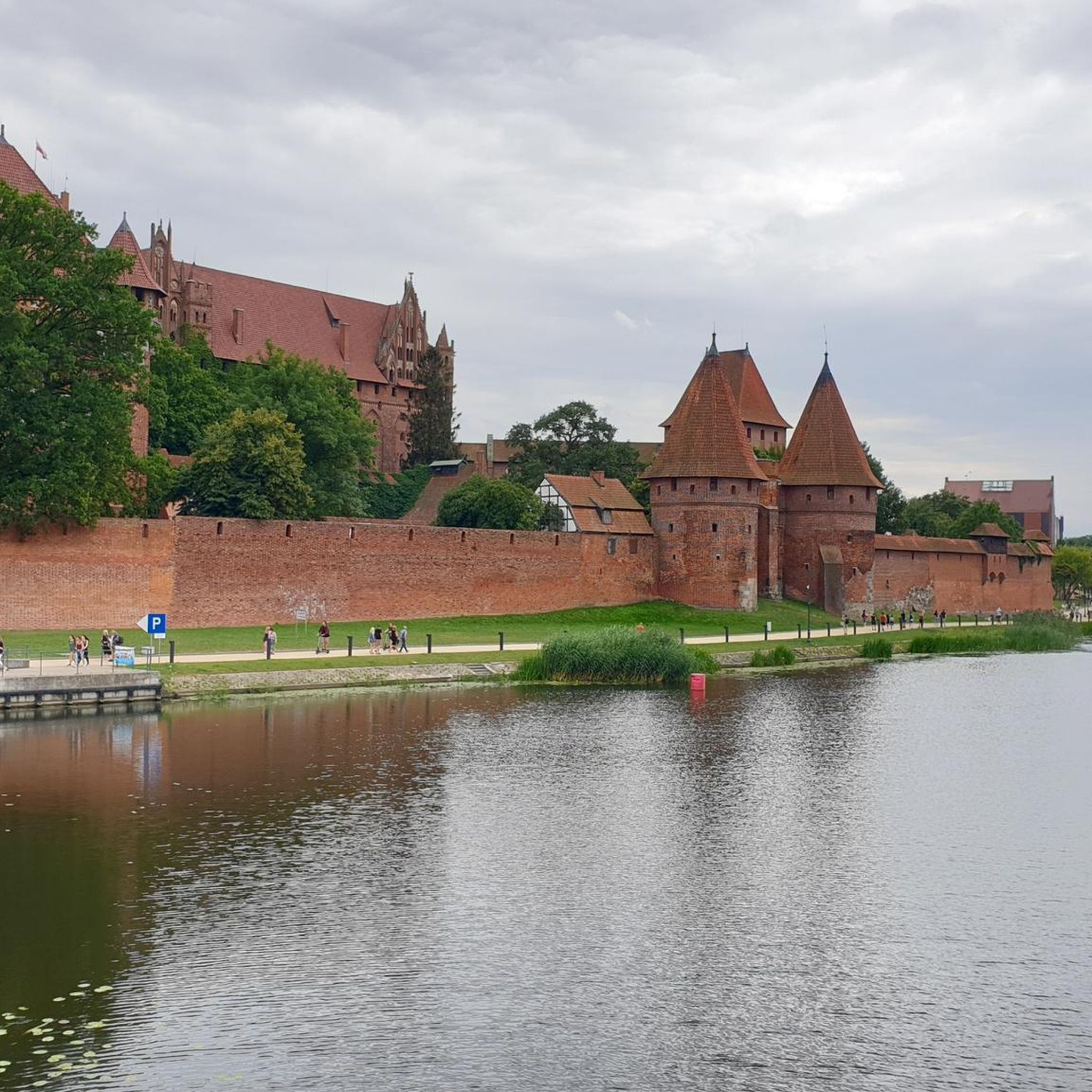
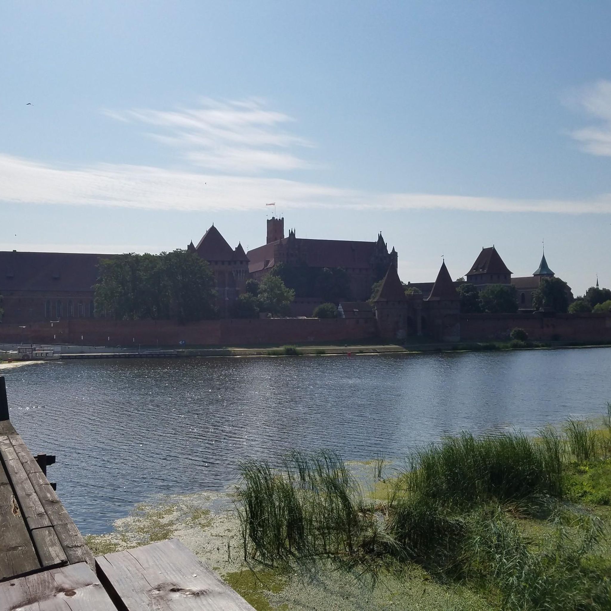
The Marienburg can be seen clearly
1
0
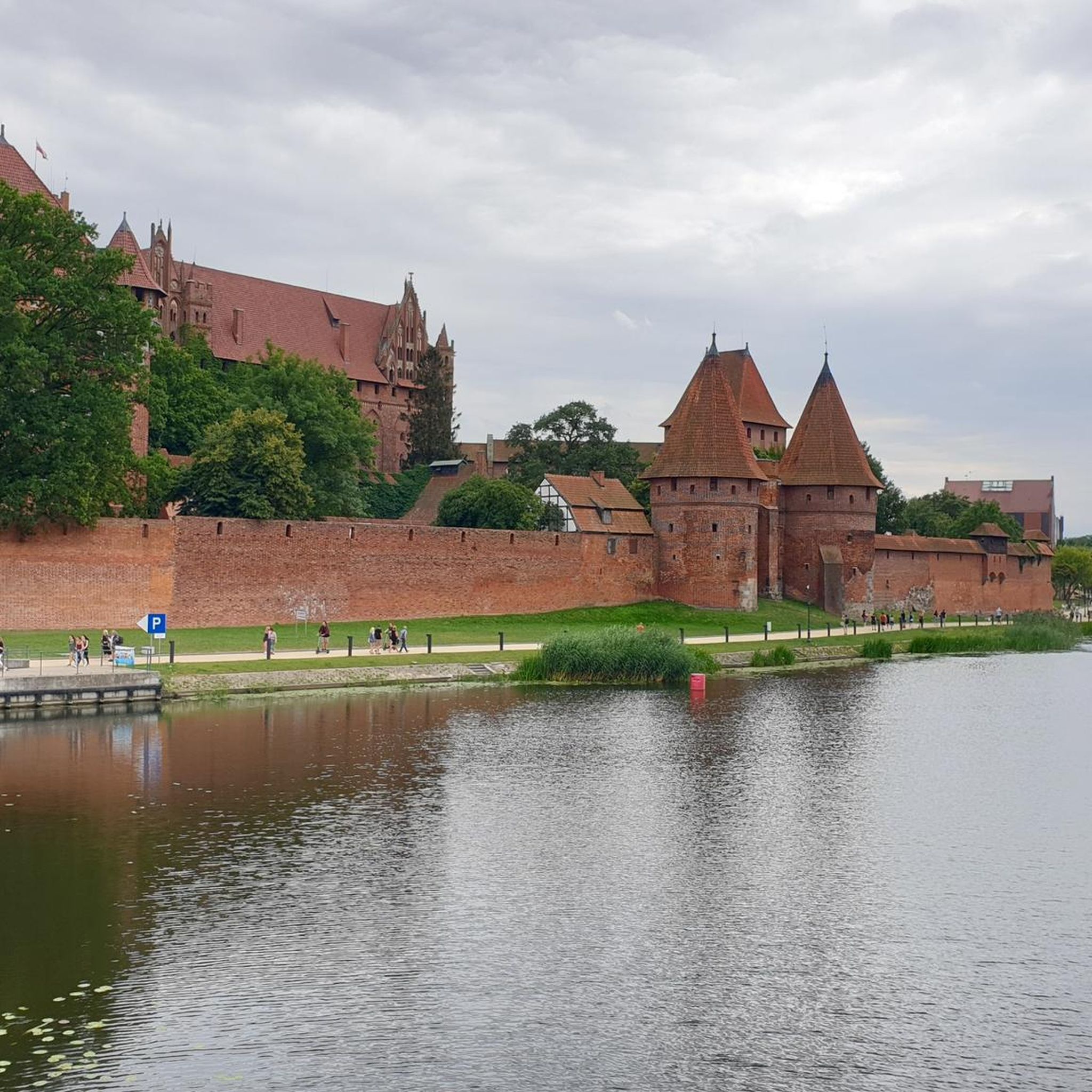
The outer wall of Marienburg Castle is an important part of the Teutonic Castle in Malbork, which is largely made of brick and is considered the largest brick building in the world. Marienburg was the power center of the Teutonic state and remains an impressive example of medieval military technology and brick architecture to this day.
3
0

The outer wall can be easily circumnavigated
2
0
Frequently Asked Questions
What is the typical terrain like for running in gmina Malbork?
The gmina Malbork region, part of the flat Żuławy Wiślane (Vistula Delta), offers predominantly flat terrain ideal for running. Routes often follow the Nogat River, featuring mostly paved surfaces along promenades like the Maciej Kilarski Boulevard, or compacted gravel paths within green spaces such as the Nogat Riverside Park and Northern Park.
Are there many easy running routes available in gmina Malbork?
Yes, gmina Malbork has a good selection of easy running routes. For example, the Baszta Tower – Promenade at the foot of the castle loop from Malbork is an easy 2.8-mile (4.6 km) trail offering scenic views of Malbork Castle along the riverside promenade. Overall, there are 9 easy routes available.
What kind of landmarks or scenic views can I expect to see while jogging in gmina Malbork?
Jogging in gmina Malbork offers a unique blend of natural beauty and historical grandeur. The iconic Malbork Castle, a UNESCO World Heritage site, serves as a dramatic backdrop for many routes, with paths often passing directly by its walls. You'll also enjoy picturesque views along the Nogat River and through green spaces like the Nogat Riverside Park. Other notable sights include the Biała Góra Lock and the Monument of King Casimir IV Jagiellon.
Are there any circular running routes in the gmina Malbork area?
Yes, many of the running routes in gmina Malbork are designed as loops, providing convenient circular options. A popular choice is the Nogat Riverside Park loop from Malbork, a moderate 4.5-mile (7.2 km) path that explores the park's green spaces. Another great option is the Promenade at the foot of the castle – Nogat Riverside Park loop from Malbork, which combines riverside promenades and parkland.
What do other runners say about the jogging routes in gmina Malbork?
The running routes in gmina Malbork are highly regarded by the komoot community, with an average score of 4.7 stars from over 40 reviews. Runners frequently praise the flat, accessible paths, the stunning views of Malbork Castle, and the peaceful riverside atmosphere along the Nogat River.
Are the running trails in gmina Malbork suitable for families?
Yes, the predominantly flat terrain and well-maintained paths along the Nogat River and within parks make many routes in gmina Malbork suitable for families. Easy and moderate options are plentiful, allowing for enjoyable outings with children. The scenic views of Malbork Castle also add an engaging element for all ages.
Can I bring my dog on the jogging routes in gmina Malbork?
While specific regulations for each path may vary, the general outdoor nature of the riverside promenades and park trails in gmina Malbork often allows for dogs, provided they are kept on a leash and owners clean up after them. It's always a good idea to check local signage or specific route details for any restrictions.
How long are the running routes typically in gmina Malbork?
The running routes in gmina Malbork offer a variety of lengths to suit different preferences. You can find shorter, easy loops like the Baszta Tower – Promenade at the foot of the castle loop from Malbork at 2.8 miles (4.6 km), as well as longer moderate options such as the Malbork Water Tower loop from Malbork, which is about 5.1 miles (8.2 km).
Are there any challenging running trails in gmina Malbork?
While gmina Malbork is known for its flat terrain, there are routes that offer a more challenging experience, often due to their length or varied surfaces. Out of the 78 available routes, 17 are classified as difficult. These might involve longer distances or sections with more natural, unpaved surfaces, providing a good workout for experienced runners.
What is the best time of year to go jogging in gmina Malbork?
Gmina Malbork is enjoyable for jogging throughout much of the year. Spring and autumn offer pleasant temperatures and beautiful scenery, with changing foliage or blooming nature. Summer is also popular, especially along the shaded riverside paths. Even in winter, the flat terrain can be suitable for running, though conditions may vary.
Is public transport available to access jogging routes in gmina Malbork?
The town of Malbork, which borders the rural gmina, serves as a central hub with public transport connections. Many jogging routes, particularly those along the Nogat River and within the parks, are accessible from Malbork, making it convenient to reach starting points via local transport.
Are there parking facilities near the running trails in gmina Malbork?
Given the proximity of many routes to the town of Malbork and its attractions, parking facilities are generally available in and around the town. Runners can typically find parking near popular starting points along the Nogat River or close to the Malbork Castle area, providing convenient access to the trails.
Most popular routes around gmina Malbork
Most popular attractions around gmina Malbork

Get inspired with the komoot mobile app


Explore more
Browse the best Running Trails & Routes in other regions.
