The 9 Most Amazing Peaks around Oberbettingen
Best mountain peaks around Oberbettingen are found within the Vulkaneifel region, characterized by rolling hills and extinct volcanic cones. This area provides access to several notable elevated areas, offering diverse natural beauty and hiking opportunities. These peaks and viewpoints provide panoramic views of the Eifel landscape. The region's geological history, including ancient reefs and volcanic activity, contributes to its unique character.
Best mountain peaks around Oberbettingen
- The most popular mountain peaks is Dietzenley Observation Tower, a viewpoint that offers…
Last updated: July 1, 2026
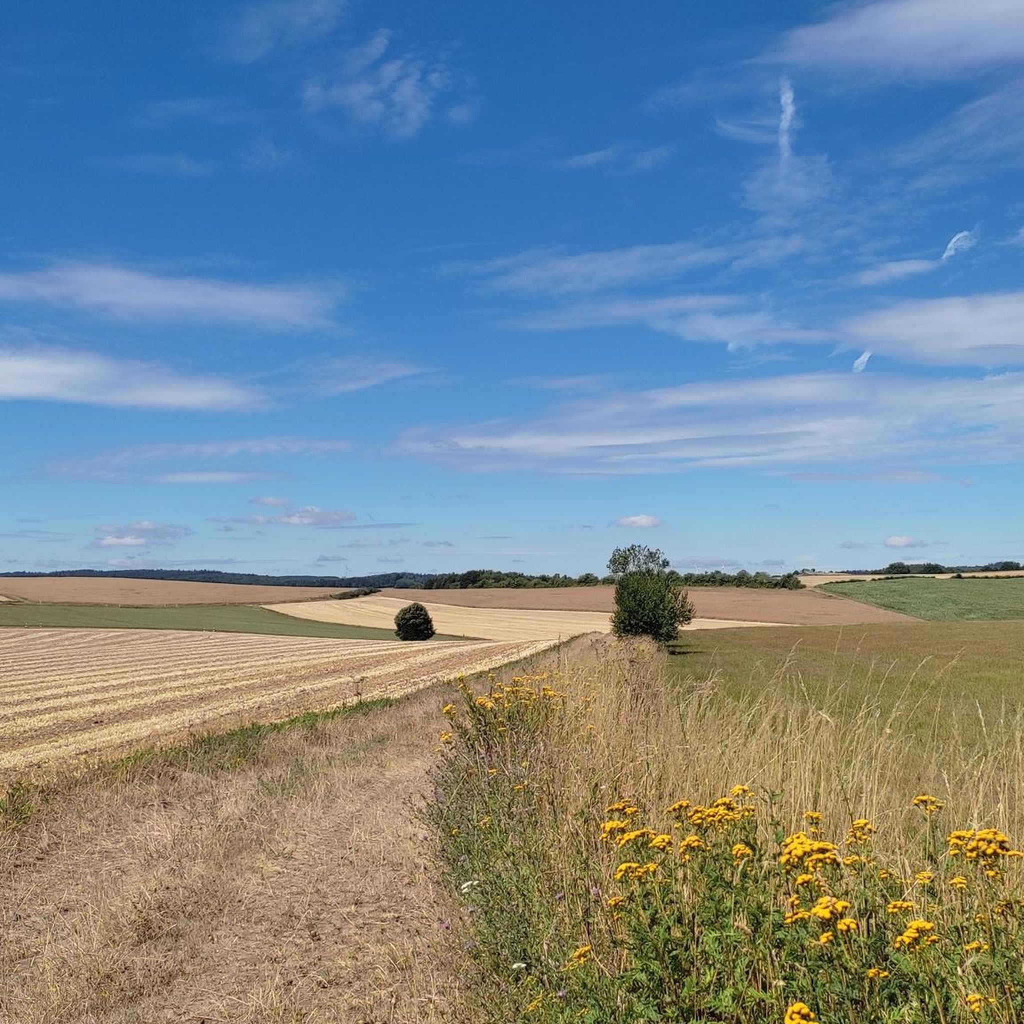
View of Gerolstein from the Munterley
Highlight • Viewpoint
Translated by Google •
Tip by

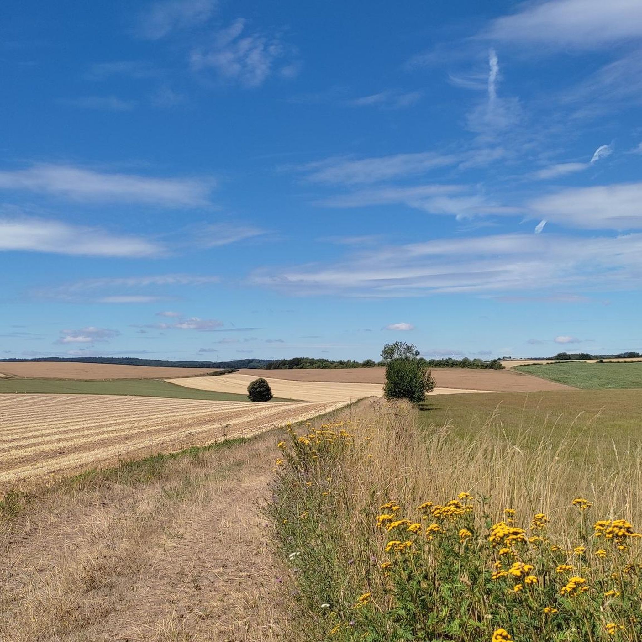
Kalvarienberg Trail (Alendorf)
Highlight • Trail
Translated by Google •
Tip by

Sign up now to discover places like this
Get recommendations on the best single tracks, peaks, & plenty of other exciting outdoor places.
Sign up for free
View of Alendorf and the Lampertstal from the Kalvarienberg
Highlight • Viewpoint
Translated by Google •
Tip by

Dietzenley Observation Tower
Highlight • Viewpoint
Translated by Google •
Tip by

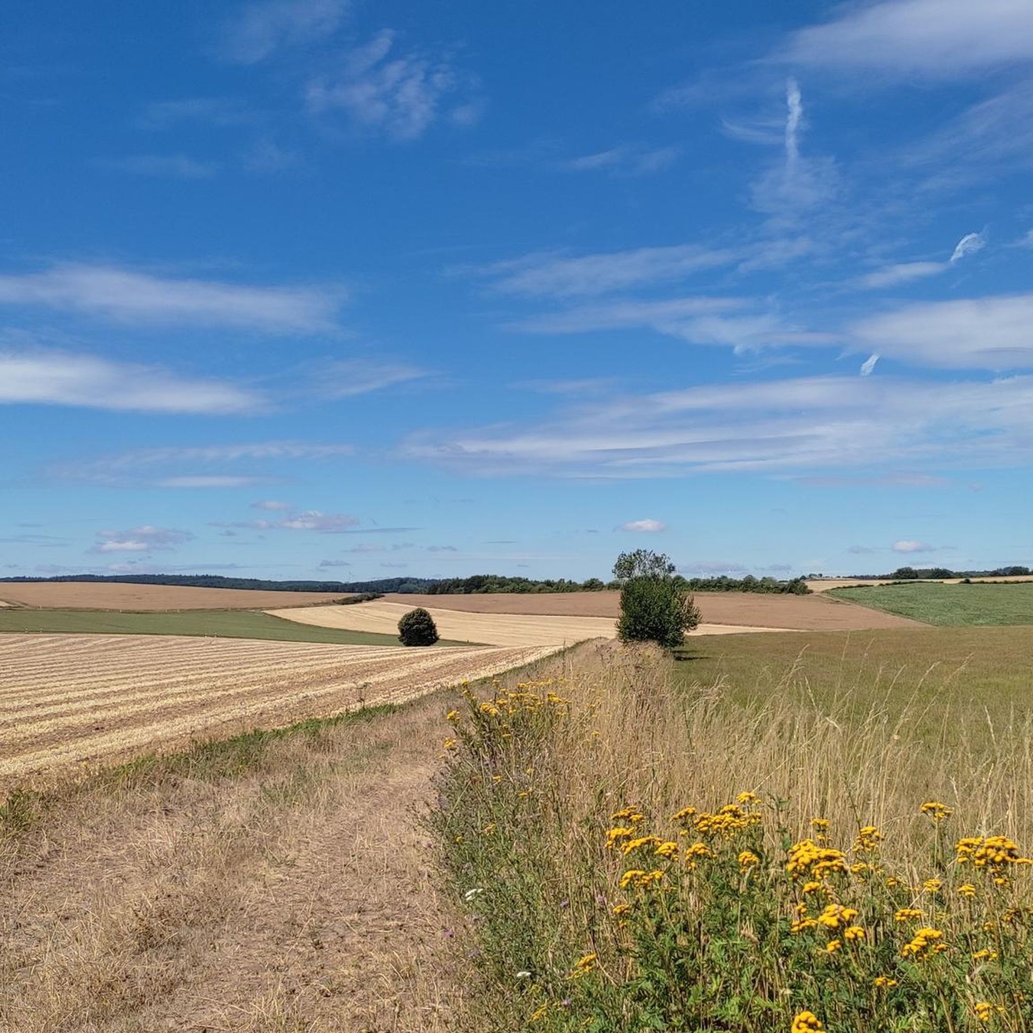
Giant Bench with View of Berlingen, Rockeskyll, and Kasselburg
Highlight • Viewpoint
Simply fantastic for a nice break.
Translated by Google •
Tip by

Sign up for free to discover even more peaks around Oberbettingen.
Sign up for free
Already have an account?
Start today with a free account
Your next adventure awaits.
Login or Signup

Tips from the Community

Great panoramic view overlooking Kasselburg Pelm
1
0

When the weather is good, you have a fantastic view over the hills of the Volcanic Eifel from here.
3
0

The view from here is phenomenal.
1
0

The Liberation Beech stands at the highest point of the Alter Foss mountain. According to the stories, it was a strategically important lookout point during the Thirty Years' War. From there you could see the towns of Pelm, Gerolstein, Rockeskyll, Hohenfels, Essingen, Betteldorf, Kirchweiler and Hinterweiler. https://kulturdb.de/einobjekt.php?id=48574
0
0

Just a few more meters and you've made it. At the top there is a great view and nice seating. Top!
8
0

The mountain path leads through an extremely barren and beautiful juniper landscape. Loosened up by the Stations of the Cross and peppered with beautiful views of the valley.
9
0

"With an area of approx. 102 hectares, the area around the Gerolsteiner Dolomites has been a nature reserve since 1990. + occurring animal species: bat + occurring plant species: juniper, orchids, character plants calcareous grassland, grove rush-beech forest, woodruff-beech forest, orchid-limestone-beech forest Around 380 million years ago there was a warm, subtropical shallow sea here, in which mighty reefs of stromatopores - relatives of sponges - and corals formed. After the dolomitization, sinking and folding of the rocks, the Devonian deposits were lifted out again. Today's Gerolsteiner Dolomites were formed, which rise steeply above the Kylltal north of the center of Gerolstein. The rocks "Hustley", "Munterley", "Drohende Ley", "Große Kanzel" and "Auberg" characterize the cityscape from afar and form the landmark of Gerolstein. The most famous summit of the Gerolsteiner Dolomites is the "Munterley" - with a height of 482 meters - and offers a breathtaking view over Gerolstein, the Kylltal and far into the Vulkaneifel. Stone Age people, who settled here 30,000 years ago, obviously enjoyed this view, as evidenced by stone tools and bones found at the nearby Buchenloch Cave. Visiting the Gerolsteiner Dolomites can be perfectly combined with hiking the Felsenpfad - the northern part of the "Gerolsteiner Dolomiten Acht". The almost eight-kilometer round tour offers many magical places and geological traces." https://www.eifel.info/a-gerolsteiner-dolomites
10
0
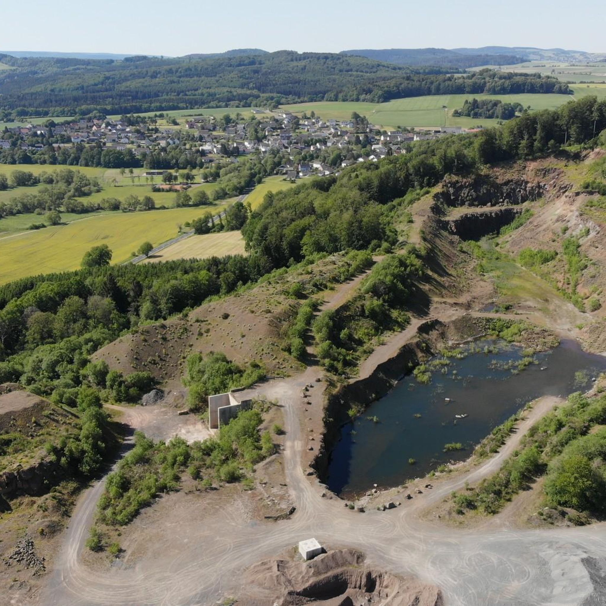
The observation tower on the Dietzenley offers an impressive view of the landscape of the Vulkaneifel. About 2500 years ago there was a Celtic housing estate on the Dietzenley with pasture areas, which were protected against attacks by ramparts up to 9 m high and 4 m wide.
13
0
Frequently Asked Questions
What are some popular mountain peaks and viewpoints to explore near Oberbettingen?
The region around Oberbettingen offers several notable peaks and viewpoints. Highly rated by the komoot community is the Dietzenley Observation Tower, which provides impressive views of the Vulkaneifel landscape. Another favorite is the View of Gerolstein from the Munterley, where you stand on a 380-million-year-old Devonian reef with panoramic views over Gerolstein and the Kyll Valley. For a unique natural experience, the Kalvarienberg Trail (Alendorf) offers beautiful vistas over extensive juniper heaths.
Are there any local volcanic cones directly around Oberbettingen that I can visit?
Yes, Oberbettingen is surrounded by several extinct volcanic cones that offer local hiking opportunities. These include Ruderbüsch, Mühlenberg, and Wetschberg, which are part of a circular hiking trail. The trails provide varied landscapes, including Eifel forests, meadows, and old quarries, with views of Kasselburg and Wahlhausen Chapel on clear days. Additionally, the Schlossberg in Oberbettingen itself is a local lookout point offering panoramic views.
What is the highest mountain in the Eifel region accessible from Oberbettingen, and what does it offer?
The highest mountain in the Eifel is Hohe Acht, standing at 747 meters. This extinct Tertiary volcano features the 16.30-meter-high Kaiser Wilhelm Tower at its summit. Climbing the tower's 75 steps rewards visitors with a fantastic panoramic view over the Eifel landscape, including the Nürburgring on clear days. The surrounding area also offers various hiking and cycling trails through dense forests.
Are there family-friendly mountain hikes or viewpoints around Oberbettingen?
Yes, several spots are suitable for families. The local trails around Oberbettingen's volcanic cones like Ruderbüsch offer easy to moderate hiking experiences. For a scenic viewpoint, the View of Auberg and Munterley is considered family-friendly, providing beautiful vistas over Gerolstein. Another option is the Giant Bench with View of Berlingen, Rockeskyll, and Kasselburg, which is easily accessible and offers a great spot for a break with panoramic views.
What unique natural features can I observe on the mountain peaks in this region?
The Eifel region is rich in unique natural features due to its volcanic past and ancient geological formations. At the Munterley, you can stand on a 380-million-year-old Devonian reef. The Ernstberg, the second-highest mountain in the Eifel, is a nature reserve preserving unique geological formations and a colony of Perennial Honesty, with trails passing rugged basalt and lava rocks. The Kalvarienberg near Alendorf is known for its extensive juniper heathlands and diverse flora, including orchids.
What outdoor activities can I do near the mountain peaks around Oberbettingen?
Beyond hiking, the area around Oberbettingen offers various outdoor activities. You can find numerous cycling routes, including touring and road cycling, that take you through scenic landscapes and past historical sites. For example, you can explore routes like the 'Wirft Valley near Stadtkyll' or 'Hillesheim City Wall' by bike. There are also dedicated running trails, such as those around Bolsdorf Valley. You can find more details on these activities in the cycling guide, road cycling guide, and running guide for Oberbettingen.
Are there any mountain peaks in the wider Eifel region that offer winter sports opportunities?
Yes, the wider Eifel region provides excellent winter sports opportunities. Schwarzer Mann, the highest peak in the Schnee Eifel, is the largest skiing area in Rhineland-Palatinate, offering downhill runs, a natural runway, a toboggan run, and cross-country ski trails. Weißer Stein, located on the German-Belgian border, also features ski slopes, a drag lift, a toboggan slope with a lift, and cross-country trails, making it ideal for winter activities.
What historical or cultural sites are associated with the mountain peaks in this area?
The region's peaks often have historical significance. The Dietzenley Observation Tower stands on a site where a Celtic housing estate existed about 2500 years ago. The Kalvarienberg near Alendorf is a historical Calvary Hill known for its Stations of the Cross and holds significant religious importance, attracting pilgrims. Additionally, the Weißer Stein area has historical relevance related to World War II and European unification.
What is the best time to visit the mountain peaks around Oberbettingen?
The best time to visit depends on your preferred activities. Spring and summer are ideal for hiking and enjoying the blooming flora, especially on the Kalvarienberg where limestone grasslands are in full bloom. Autumn offers beautiful foliage. For winter sports enthusiasts, the Schwarzer Mann and Weißer Stein peaks provide excellent conditions for skiing and tobogganing during the colder months.
Which mountain peak offers the most extensive panoramic views of the Eifel landscape?
For truly extensive panoramic views, Hohe Acht, the highest mountain in the Eifel, is highly recommended. From the top of the Kaiser Wilhelm Tower, you can see across the vast Eifel landscape, including hills, valleys, and even the Nürburgring on clear days. The Weißer Stein also features a 25-meter-high observation platform offering fantastic distant views of the Eifel landscape.
Are there any hidden gem mountain hikes or viewpoints that are less known?
While many peaks are popular, the local volcanic cones directly surrounding Oberbettingen, such as Ruderbüsch, Mühlenberg, and Wetschberg, offer a more intimate hiking experience away from the main tourist trails. These trails allow you to discover local natural beauty and geological evidence of past eruptions. The Schlossberg in Oberbettingen also provides a local scenic experience that might be overlooked by those focusing on larger peaks.
What makes the Ernstberg a unique mountain peak to visit?
Ernstberg, also known as Erresberg, is unique as the highest of the west Eifel volcanoes and the second-highest mountain in the Eifel. It's a nature reserve preserving its distinct geological formations, including pyroclastic rocks forming a volcanic crater. The Ernstberg Panorama Trail takes you through a largely natural forest with old beech trees, creating a 'fairytale atmosphere' with mosses and tinder sponges, and offers impressive panoramic views from the 'Eifelblick'.
Most popular routes around Oberbettingen
Most popular attractions around Oberbettingen

Get inspired with the komoot mobile app


Explore more
See even more amazing summits around Oberbettingen with these guides:
