The best walks and hikes around gmina Żarnowiec
5.0
(33)
338
hikers
24
hikes
Hiking around gmina Żarnowiec offers diverse landscapes within the picturesque Jurassic Landscape Park. The region is characterized by unique limestone rock formations, dense forests, and varied river valleys, providing a range of natural features for exploration. Trails often incorporate historical sites and hills, making for engaging outdoor experiences.
Best hiking trails around gmina Żarnowiec
- The most popular hiking route is The didactic path in the Watering Valley (loop from Smolen): Eagles' Nests Landscape Park, a 4.3 miles (7.0 km)…
Last updated: July 4, 2026
4.7
(3)
15
hikers
Easy hike. Great for any fitness level. Easily-accessible paths. Suitable for all skill levels.
5.0
(5)
58
hikers
8.37km
02:25
190m
190m
Moderate hike. Good fitness required. Easily-accessible paths. Suitable for all skill levels.

Sign up for free
5.0
(3)
63
hikers
Easy hike. Great for any fitness level. Easily-accessible paths. Suitable for all skill levels.
5.0
(3)
31
hikers
12.5km
03:32
270m
270m
Moderate hike. Good fitness required. Easily-accessible paths. Suitable for all skill levels.
5.0
(1)
8
hikers
16.4km
04:26
210m
210m
Moderate hike. Good fitness required. Easily-accessible paths. Suitable for all skill levels.
Get access to more routes and recommendations from other explorers.
Sign up for free
Already have an account?
Our route recommendations are based on thousands of hikes, rides, and runs completed by other people on komoot.
Start today with a free account
Your next adventure awaits.
Login or Signup
Tips from the Community


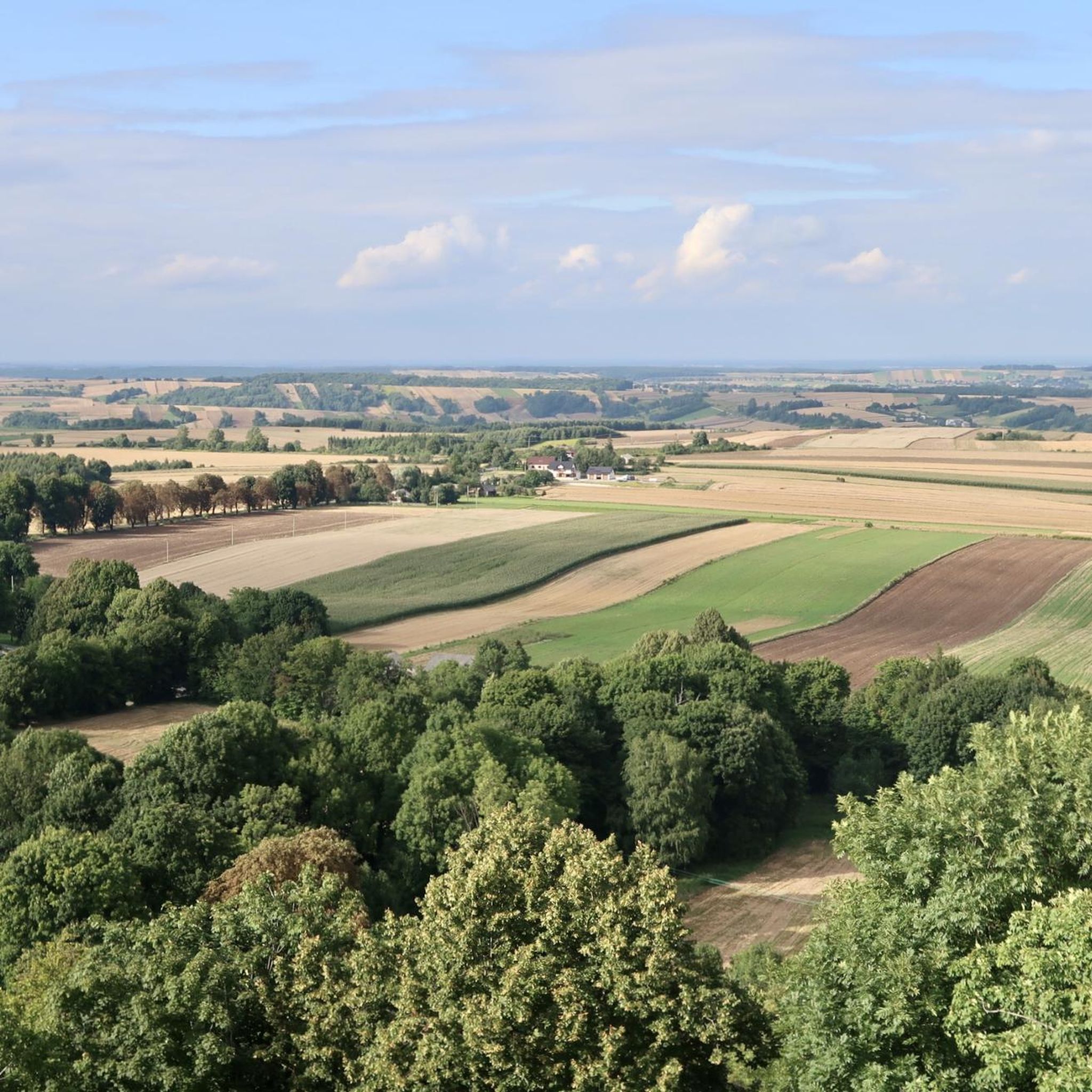
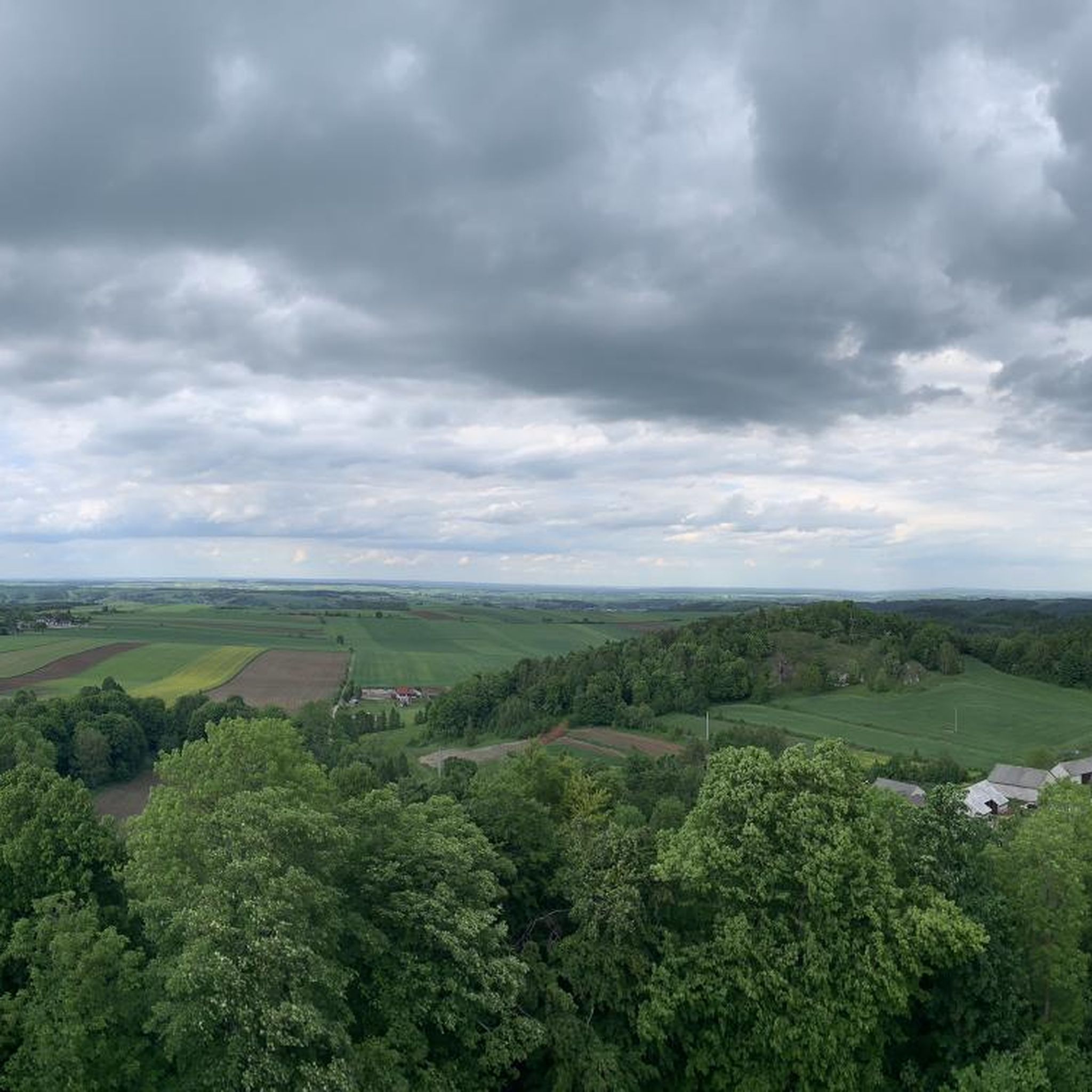
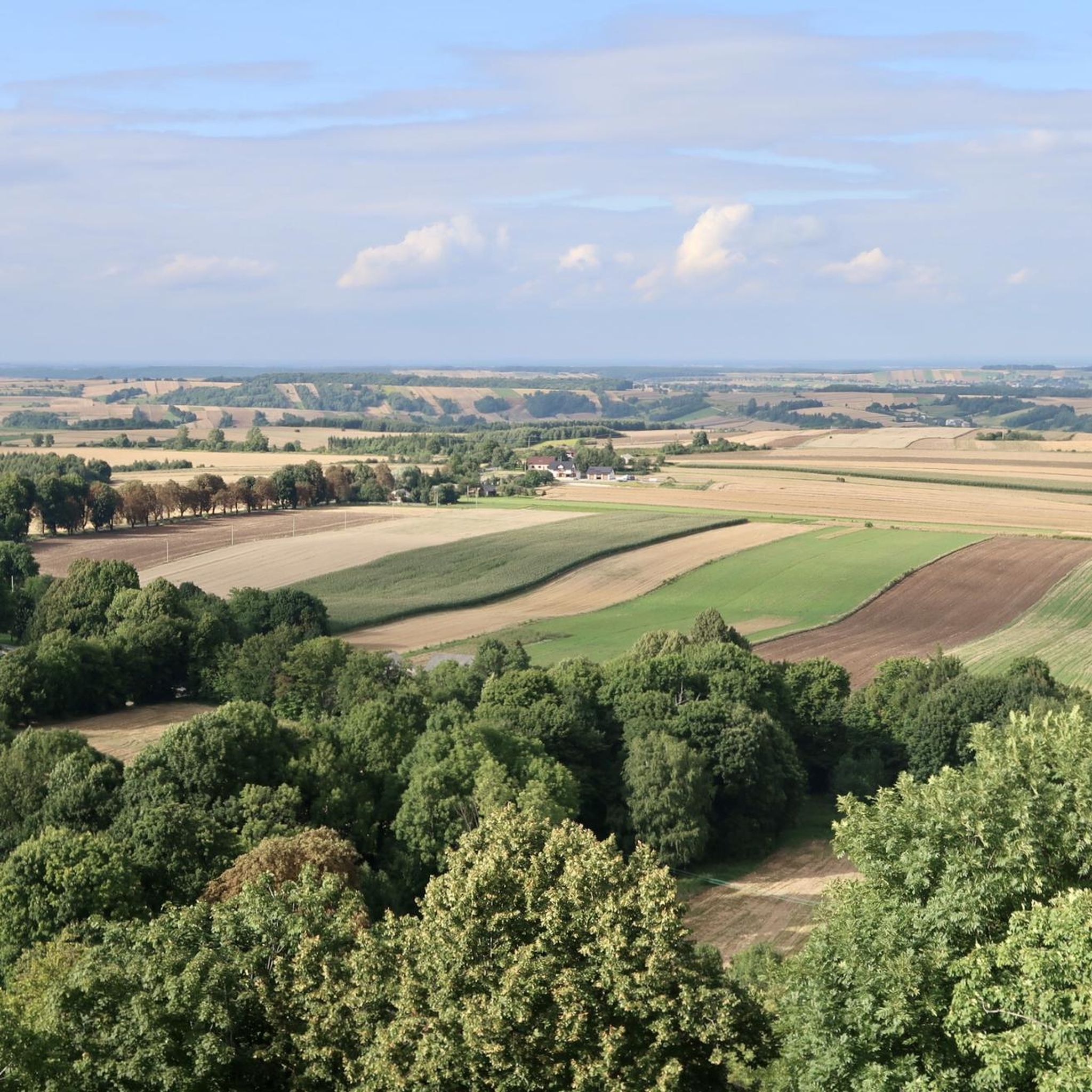
Pilcza Castle in Smoleń is a picturesque ruin of a medieval stronghold, situated on a lofty hill amidst the forests of the Kraków-Częstochowa Upland. The castle was once the seat of the mighty Toporczyk family, and later became associated with the Pilecki family – hence its name. Today, you can visit the restored tower and fragments of the defensive walls, from which there is an extensive view of the surrounding area. The castle is an attraction of the Eagle's Nests Trail and a great stopping point on a bicycle trip through the Jura – although the ascent to the ruins is steep, it is worth taking shoes for a short walk.
3
0
Pilcza Castle in Smoleń is a picturesque ruin of a medieval stronghold located on a hill among the forests of the Kraków-Częstochowa Upland. Although only fragments of walls and a tower have survived, the viewing point offers a beautiful panorama of the area. It is a peaceful place, ideal for a break during a bicycle trip through the Jura, especially since the castle is located near popular trails (Eagle's Nests Trail, Jura Fortresses Trail). Next to the ruins you will also find information boards and a place to rest.
3
0
Biśnik Cave, located in the Wodąca Valley in the Kraków-Częstochowa Upland, is one of the oldest human habitations in Poland. Archaeological research has shown that Neanderthals lived here over 100,000 years ago. The cave is part of the Cavemen Trail and can be admired from the outside during a walk through the picturesque area. There are other attractions nearby, such as Grodzisko Pańskie and Jaskinia Jasna, which are worth including on your route.
3
0
Grodzisko Pańskie is a picturesque hill with a height of 485 m above sea level, located on the left slope of the Wodąca Valley, in the Smoleńsko-Niegowonice range in the Kraków-Częstochowa Upland. It is characterized by a long ridge topped with limestone rocks that create natural terraces and passages.
0
0
Pilcza Castle is a picturesque ruin on Castle Hill in the village of Smoleń, part of the Eagle's Nests Trail. Built in the 14th century by the Pilecki family, it served a defensive function, but fell into ruin after the Swedish Deluge. The castle is currently open to the public, and its tower offers an impressive view. The area around the castle is the "Smoleń" nature reserve, offering picturesque hiking trails among Jurassic rocks and lush vegetation.
0
0

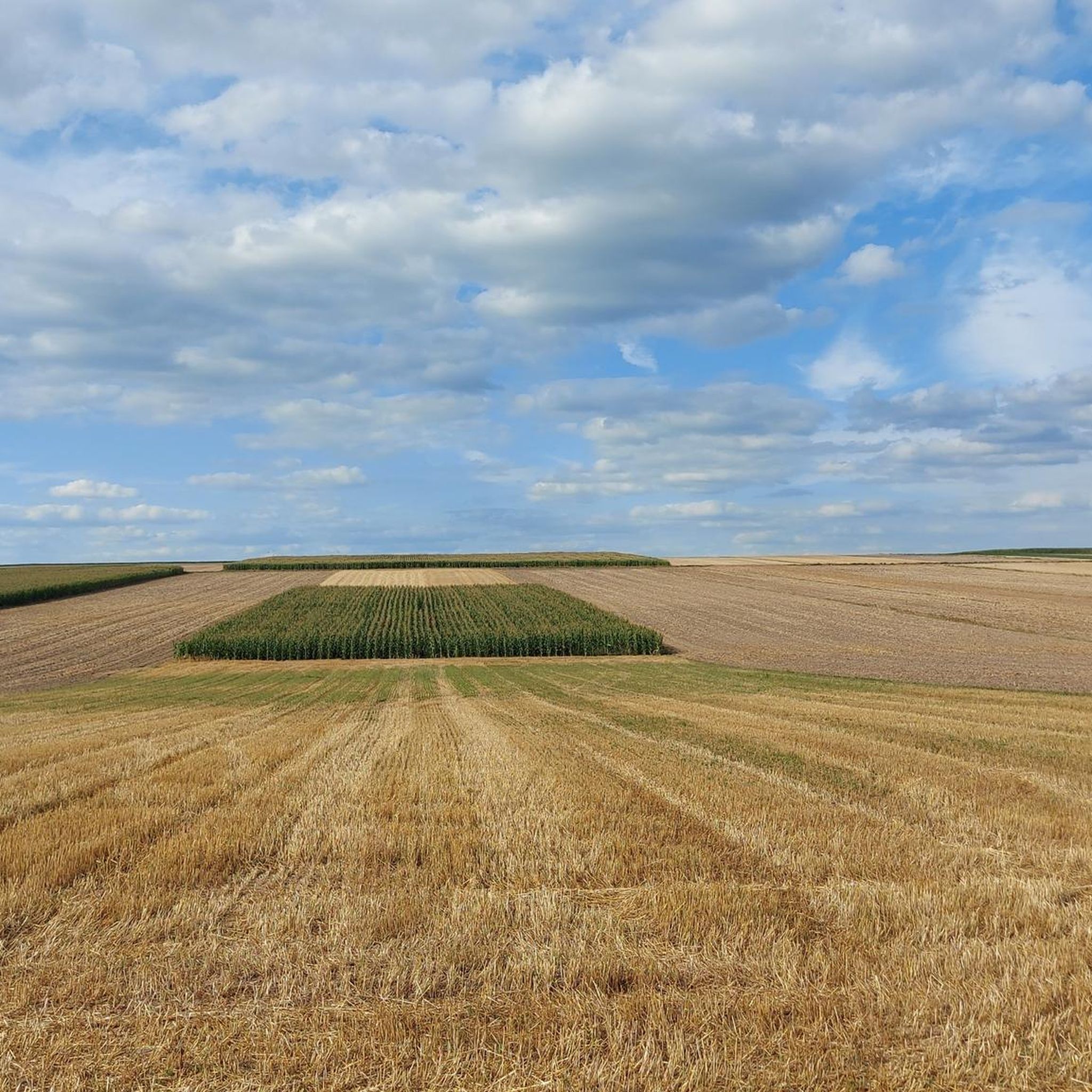
Rocks, rocks and more rocks. Road ok.
1
0
Frequently Asked Questions
How many hiking trails are available in gmina Żarnowiec?
There are over 20 hiking trails available in gmina Żarnowiec, catering to various skill levels. You'll find a good mix of easy, moderate, and a few more challenging routes to explore the region's diverse landscapes.
What kind of terrain can I expect when hiking in gmina Żarnowiec?
Hiking in gmina Żarnowiec offers a varied landscape, characteristic of the Kraków-Częstochowa Upland. You'll encounter distinctive limestone rock formations, dense forests, and scenic river valleys, particularly along the Pilica River and its tributaries. The southern part of the gmina features a hilly landscape, gradually transitioning to flatter areas further north.
What do other hikers say about the trails in gmina Żarnowiec?
The hiking trails in gmina Żarnowiec are highly regarded by the komoot community, with an impressive average rating of 4.9 stars from over 20 reviews. Hikers often praise the unique geological features, the historical sites, and the peaceful, natural environment.
Are there any easy hiking trails suitable for beginners or families in gmina Żarnowiec?
Yes, gmina Żarnowiec offers 12 easy hiking trails perfect for beginners or families. A great option is The didactic path in the Watering Valley (loop from Smolen): Eagles' Nests Landscape Park, which is 4.3 miles (7.0 km) long and takes about 2 hours to complete, winding through the scenic Eagles' Nests Landscape Park.
Are there any longer or more challenging hikes in the gmina Żarnowiec area?
For those seeking a longer adventure, gmina Żarnowiec has 8 moderate and 1 difficult trail. A notable moderate route is the Biśnik Cave – View of Pilcza Castle loop from Rezerwat Smoleń, which spans 10.2 miles (16.4 km) and typically takes around 4 hours 25 minutes, leading through forests and past historical ruins.
What historical sites or natural landmarks can I see along the hiking trails?
Many trails in gmina Żarnowiec incorporate historical and natural landmarks. You can explore the ruins of Pilcza Castle, perched on a forested hill with panoramic views, or discover the ancient Biśnik Cave, known for its archaeological significance. The striking limestone outcrop of Brzuchacka Skała also adds to the dramatic scenery.
Are there any circular hiking routes in gmina Żarnowiec?
Yes, many of the trails in gmina Żarnowiec are designed as circular routes, allowing you to start and end at the same point. Examples include The didactic path in the Watering Valley (loop from Smolen) and the Biśnik Cave – Pilcza Castle loop from Rezerwat Smoleń, offering convenient exploration of the region.
Can I bring my dog on the hiking trails in gmina Żarnowiec?
While specific regulations for dogs on trails can vary, the natural and forested areas of gmina Żarnowiec, particularly within the buffer zone of the "Eagle's Nests Landscape Park," are generally welcoming to dogs. It's always best to keep your dog on a leash and ensure you clean up after them to preserve the natural environment for everyone.
What is the best time of year to go hiking in gmina Żarnowiec?
Gmina Żarnowiec offers enjoyable hiking experiences throughout much of the year. Spring and autumn provide pleasant temperatures and beautiful scenery, with vibrant foliage in fall. Summer is also popular, especially for exploring the forests which are known for berries and mushrooms. Winter hiking is possible, but trails may be covered in snow, requiring appropriate gear.
Are there any viewpoints or scenic spots along the trails in gmina Żarnowiec?
Absolutely. The region's hilly terrain and limestone formations provide several scenic viewpoints. The ruins of Pilcza Castle offer a beautiful panoramic vista of the surrounding Kraków-Częstochowa Upland. Additionally, forested hills like "Zamczysko" provide rewarding views, especially where they descend steeply into river valleys.
Are there opportunities for foraging or nature observation while hiking?
Yes, the forests in gmina Żarnowiec, particularly in the northern and western parts of Łany Wielkie and near Koryczany, Brzeziny, and Udórz, are known for their abundance of berries (blueberries, raspberries, blackberries) and mushrooms in summer. This makes for an enjoyable experience for nature walks and foraging, provided you are knowledgeable about edible species.
Most popular attractions around gmina Żarnowiec

Get inspired with the komoot mobile app


Explore more
Browse the best Hikes in other regions.
