The best running trails around gmina Lipowa
4.7
(110)
8,528
runners
249
runs
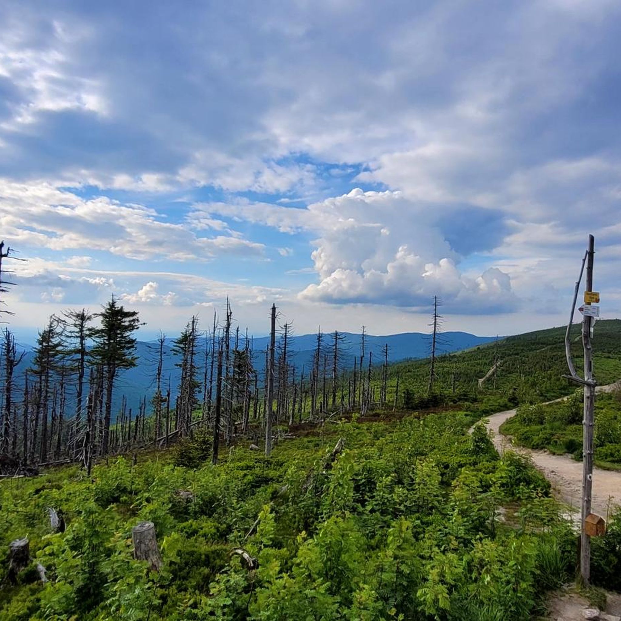
Jogging around gmina Lipowa offers diverse landscapes within the Beskid Żywiecki Mountains in southern Poland. The region features mountainous terrain, including the Silesian Beskids and Żywiec Basin, providing varied scenery for running. Wild forests, intersected by brooks, and picturesque mountain pastures characterize the area. This natural environment supports a network of trails suitable for different levels of running.
Best jogging routes around gmina Lipowa
- The most popular jogging route is Skrzyczne Summit loop from gmina Lipowa, a 13.4 miles…
Last updated: October 13, 2026
223
runners
21.8km
02:45
760m
760m
Hard run. Very good fitness required. Mostly paved surfaces. Suitable for all skill levels.
5.0
(1)
40
runners
8.94km
01:38
710m
710m
Hard run. Very good fitness required. Mostly paved surfaces. Suitable for all skill levels.

5.0
(1)
30
runners
18.0km
02:32
750m
750m
Hard run. Very good fitness required. Mostly paved surfaces. Suitable for all skill levels.
19
runners
18.2km
02:42
990m
990m
Hard run. Very good fitness required. Mostly paved surfaces. Suitable for all skill levels.
6
runners
11.9km
01:16
160m
160m
Moderate run. Good fitness required. Mostly paved surfaces. Suitable for all skill levels.
Get access to more routes and recommendations from other explorers.
Already have an account?
Our route recommendations are based on thousands of hikes, rides, and runs completed by other people on komoot.
Start today with a free account
Your next adventure awaits.

Tips from the Community

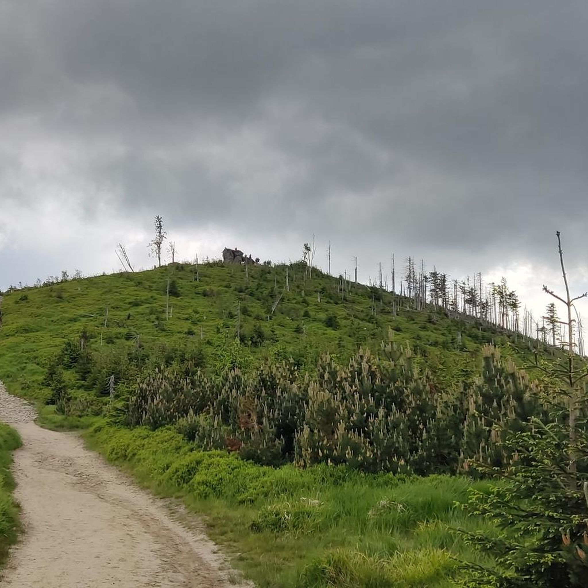
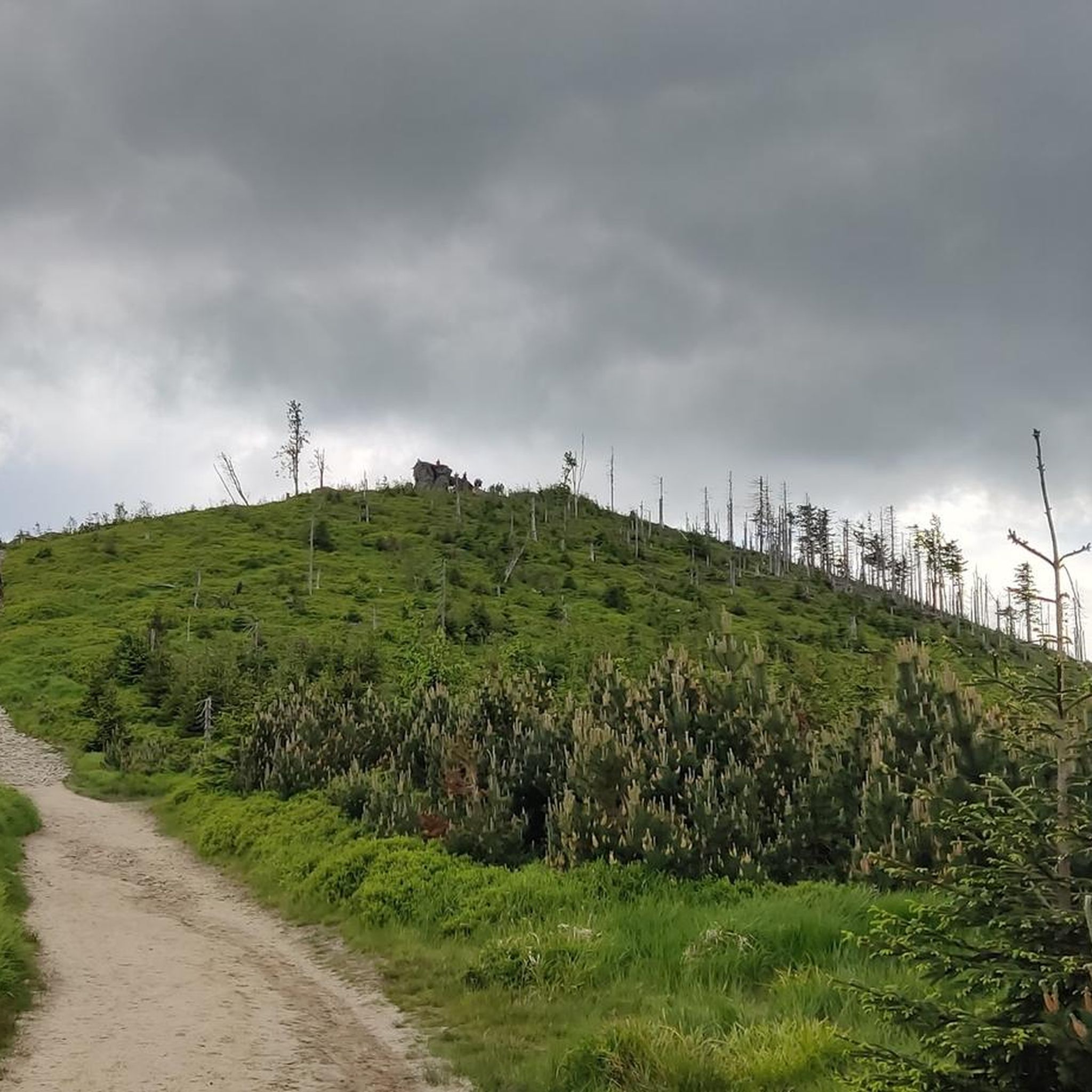
Skrzyczne is Skrzyczne, the views speak for themselves. It can be easily reached by bike from Dolina Zimnika, only a short section at the end requires pushing up a steep hiking trail.
0
0
A quite busy place in the summer season, but much fewer people during the week.
0
0

Iconic place in the Silesian Beskids, beautiful panoramas, easy trail for everyone.
2
0
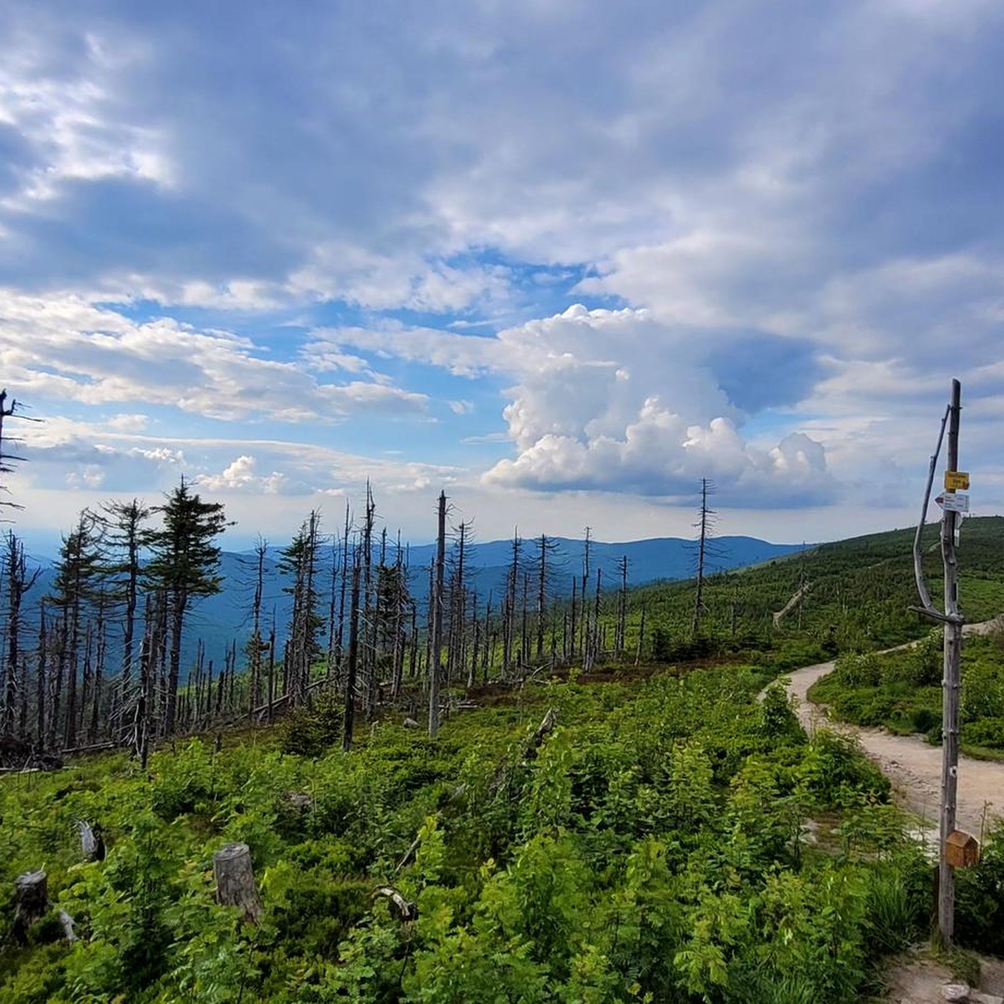
A beautiful scenic trail towards Barania Góra
2
0

The highest peak of the Silesian Beskids, part of the Crown of Polish Mountains, with panoramic views of the Beskid ranges and the Tatras on clear days.
1
0
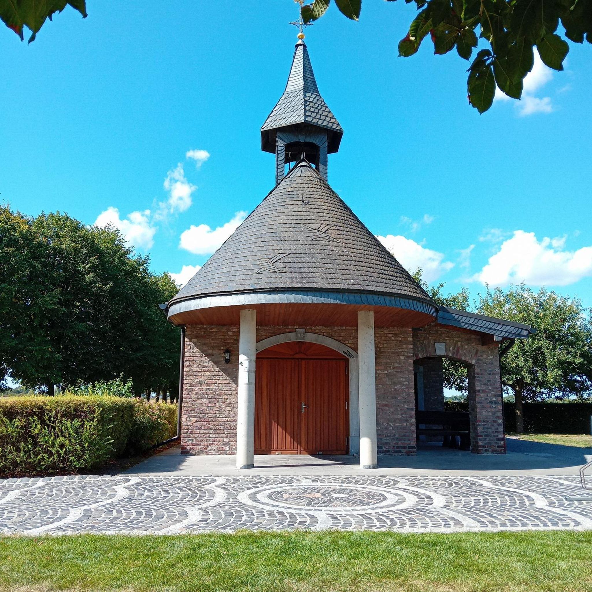
Skrzyczne Mountain Hut (1257 m) — the highest located hut in the Silesian Beskids, offering meals, accommodation and wide panoramic views.
0
0

The ascent along the blue route is quite good from a sporting perspective, but the scenery isn't great. The hiking trail is quite wide (actually, much too wide), littered with quite a bit of trash (!), but the worst part is that you walk almost the entire time below/near the two chairlifts (on rocky ski slopes). If you're looking for nature, you're in the wrong place! 🌳⛰️😐 P.S.: It feels like people in Poland drink beer instead of water on the ascent/descent, which would explain all the empty beer cans along the trails 😵. I find this kind of treatment of nature appalling 🤮! All in all: 👎👎👎
0
1

Frequently Asked Questions
How many running routes are available in gmina Lipowa?
Gmina Lipowa offers a diverse network of trails for runners. You can find over 10 dedicated running routes, ranging in difficulty from moderate to challenging, allowing you to explore the beautiful Beskid Żywiecki Mountains.
Are there running trails for all fitness levels in gmina Lipowa?
While gmina Lipowa is known for its mountainous terrain, offering 7 difficult and 4 moderate routes, there are also gentler paths suitable for less strenuous jogs. The region's extensive trail network includes options that can be adapted for various fitness levels, from casual jogs to demanding trail runs.
Can I find circular jogging routes in gmina Lipowa?
Yes, many of the running routes in gmina Lipowa are circular, allowing you to start and finish at the same point. For example, you can explore the challenging Magurka Radziechowska – Magurka Wiślańska loop from gmina Lipowa, which covers approximately 18.3 km with significant elevation changes, or the Równia loop from gmina Lipowa, a 12 km route.
What natural attractions or viewpoints can I see while running in gmina Lipowa?
The region is rich in natural beauty. Many routes offer stunning panoramic views from mountain pastures like Hala Ostre, Jaśkowa, and Skrzyczne. You might also encounter the distinctive Malinowska Rock, a natural monument, or discover small, picturesque waterfalls within the wild forests. The Skrzyczne Peak (1,257 m) is a prominent feature, often included in longer, more challenging runs.
Are there any historical landmarks or interesting places near the running trails?
Beyond natural sights, gmina Lipowa's surroundings offer historical points of interest. You could extend your trip to visit the nearby Łodygowice Palace, the Presidential Castle in Wisła, or the Habsburg Palace in Żywiec. These provide a glimpse into the region's rich heritage.
What do other runners enjoy most about jogging in gmina Lipowa?
The running routes in gmina Lipowa are highly rated by the komoot community, with an average score of 4.7 stars from over 30 reviews. Runners frequently praise the diverse landscapes, the challenge of the mountainous terrain, and the extensive network of trails that lead to scenic spots and peaks.
Are the running trails in gmina Lipowa dog-friendly?
Generally, the extensive network of hiking and running trails through wild forests and mountain pastures in gmina Lipowa is suitable for jogging with dogs. However, it's always advisable to keep your dog on a leash, especially in nature reserves or areas with livestock, and to follow local regulations.
Are there any family-friendly jogging routes in gmina Lipowa?
For families looking for gentler jogs, the Zimnik Valley offers a tourist route with a designated educational nature path. This provides an excellent setting for walks and potentially easier runs, away from the more challenging mountain ascents. Look for paths with less elevation gain and shorter distances.
What is the best time of year for running in gmina Lipowa?
The Beskid Żywiecki Mountains offer beautiful conditions for running throughout much of the year. Spring and autumn provide pleasant temperatures and vibrant scenery, while summer is ideal for higher altitude runs. Winter running is possible, but requires appropriate gear and caution due to snow and ice conditions.
Are there options for longer, more challenging trail runs in gmina Lipowa?
Absolutely. Gmina Lipowa is perfect for advanced trail runners seeking a challenge. Routes like the Skrzyczne Summit – Skrzyczne Peak (1,257 m) loop from gmina Lipowa, spanning 24.7 km with over 1,100 meters of elevation gain, offer a demanding experience with extensive mountain views. Another option is the Skrzyczne Summit loop from gmina Lipowa, a 21.6 km route with significant ascent.
Where can I find parking for the running trails in gmina Lipowa?
While specific parking areas for each trail are not detailed, the accessibility of many paths suggests that parking is generally available near trailheads or in the villages within gmina Lipowa. It's recommended to check local maps or komoot route details for specific starting points and potential parking information.
Most popular routes around gmina Lipowa
Most popular attractions around gmina Lipowa

Get inspired with the komoot mobile app


Explore more
Browse the best Running Trails & Routes in other regions.
