The best walks and hikes around gmina Raków
4.6
(24)
231
hikers
37
hikes
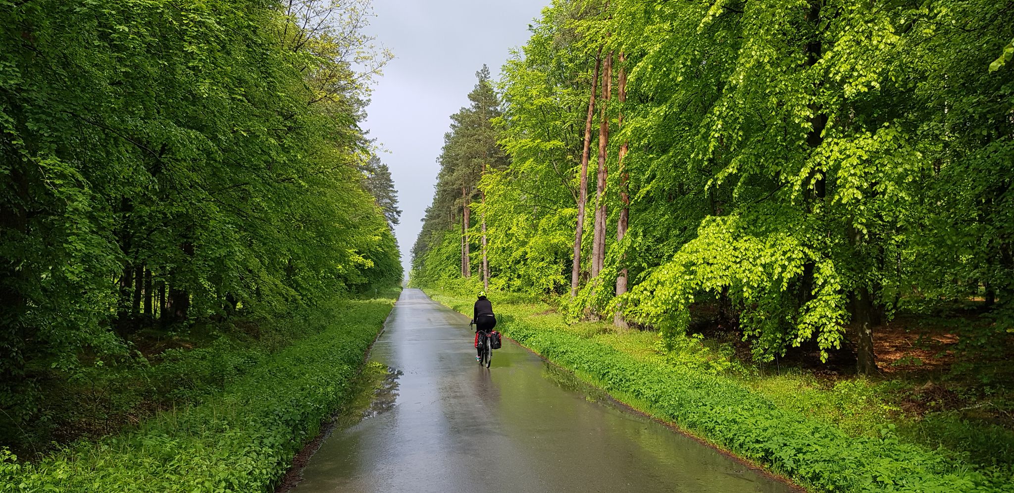
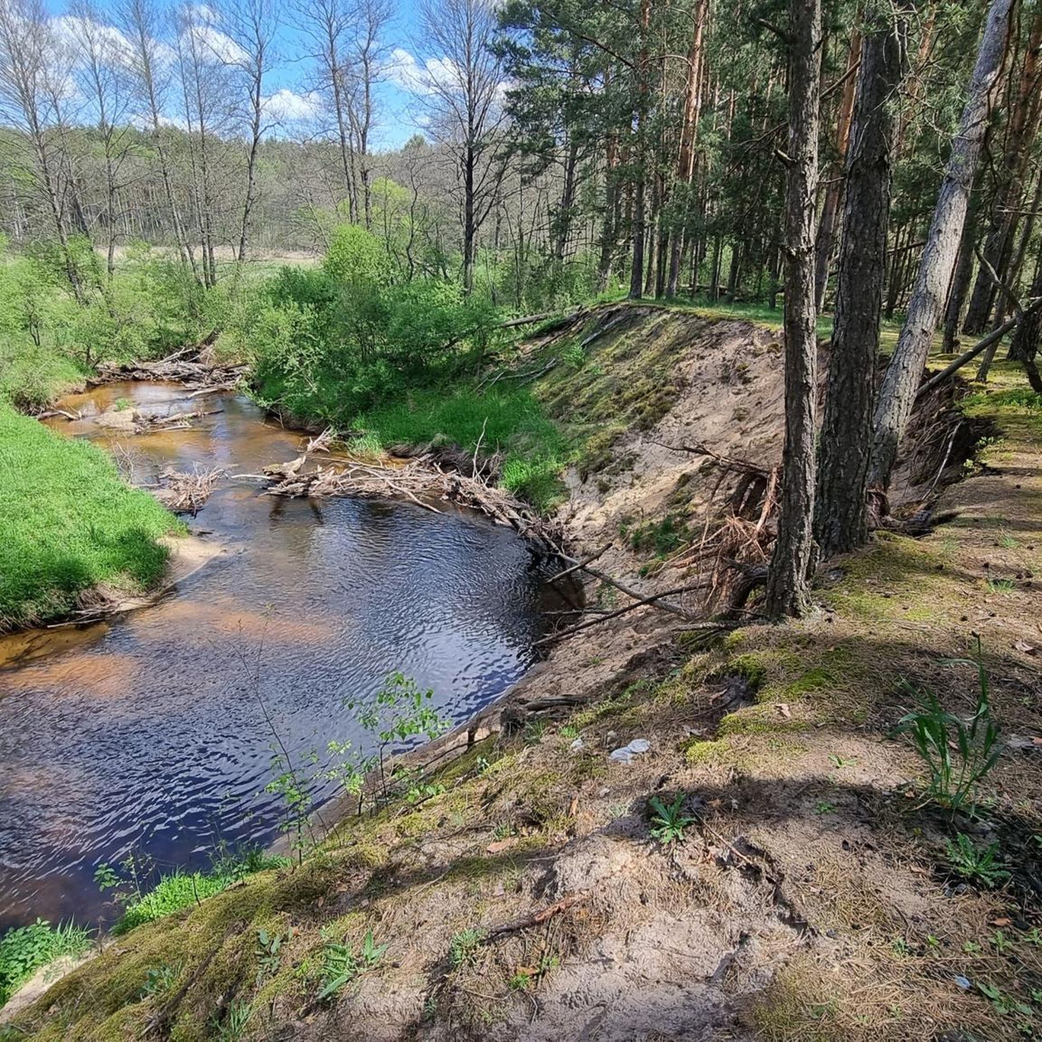
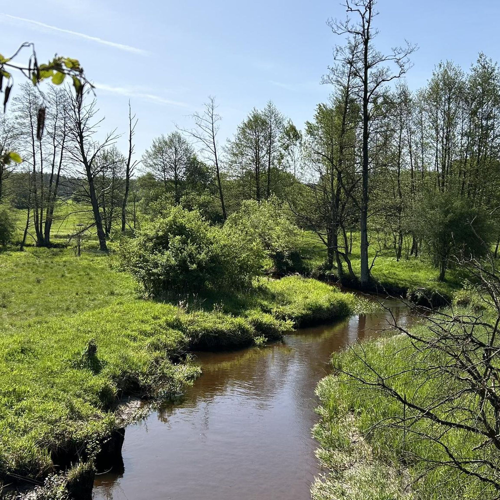
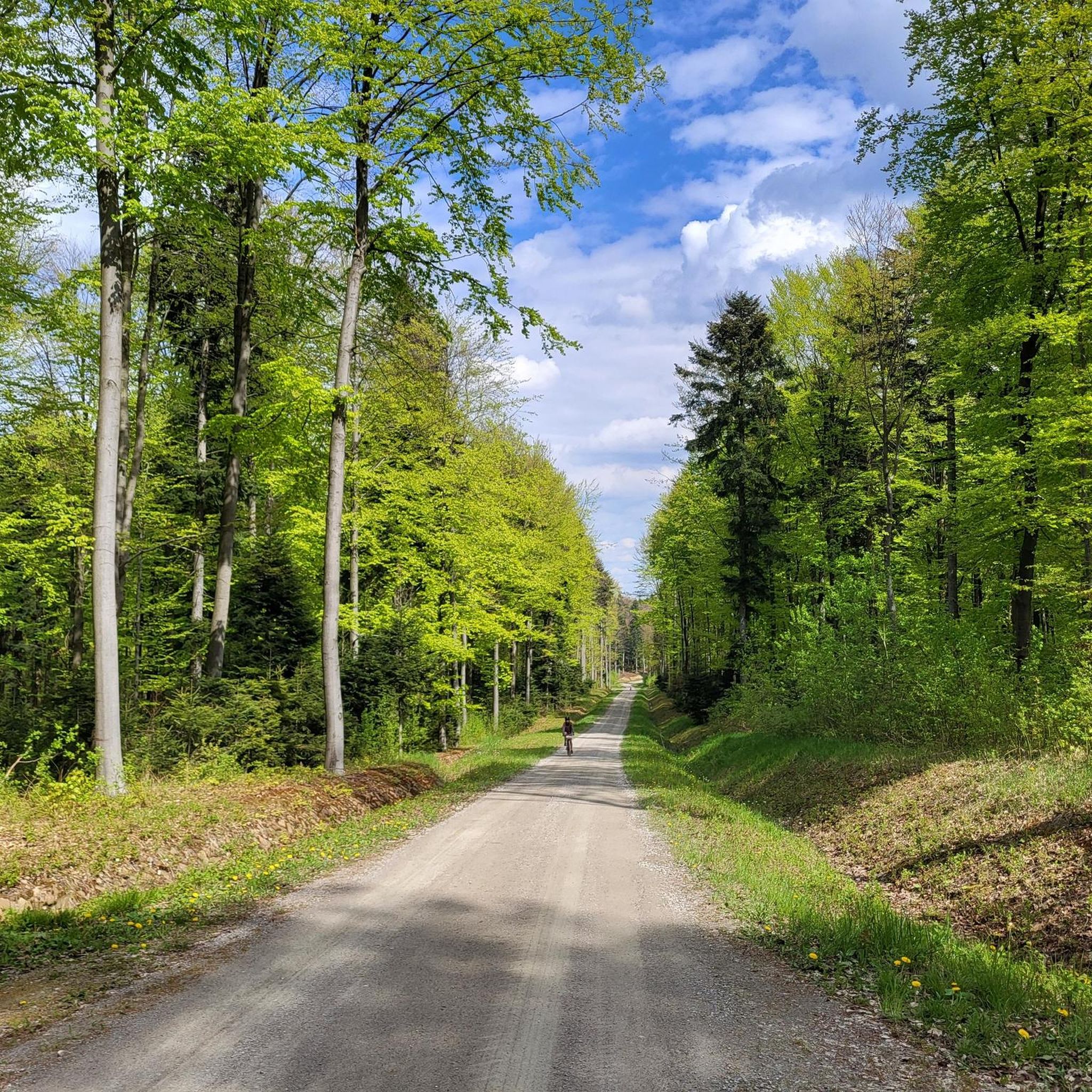
Hiking around gmina Raków offers diverse terrain within the Świętokrzyskie Voivodeship of south-central Poland. The region is characterized by extensive forests, covering over 50% of its area, and is situated across the Szydłowski Foothills and Świętokrzyskie Mountains. Key natural features include sections of the Cisów-Orłowy Landscape Park, the Chańcza Lagoon, and direct access to the Świętokrzyski National Park. The Czarna River also traverses the central part of the commune, adding to its varied landscape.
Best hiking trails around gmina Raków
…Last updated: October 7, 2026
5.0
(2)
27
hikers
2.35km
00:38
30m
30m
Easy hike. Great for any fitness level. Easily-accessible paths. Suitable for all skill levels.
4.8
(5)
13
hikers
13.0km
03:37
230m
230m
Moderate hike. Good fitness required. Easily-accessible paths. Suitable for all skill levels.

16
hikers
2.36km
00:40
50m
50m
Easy hike. Great for any fitness level. Easily-accessible paths. Suitable for all skill levels.
4.5
(2)
10
hikers
13.5km
03:45
230m
230m
Moderate hike. Good fitness required. Easily-accessible paths. Suitable for all skill levels.
4.0
(1)
5
hikers
Easy hike. Great for any fitness level. Easily-accessible paths. Suitable for all skill levels.
Get access to more routes and recommendations from other explorers.
Already have an account?
Our route recommendations are based on thousands of hikes, rides, and runs completed by other people on komoot.
Start today with a free account
Your next adventure awaits.

Other adventures around gmina Raków

Tips from the Community

A nice, not very difficult descent to the west side
1
0

The peak belongs to the Crown of Świętokrzyskie Mountains. Access via the blue trail. Wooded peak - no views. The trail on the section from Sędki is not very frequented and partly overgrown.
0
0
The peak belongs to the Crown of Świętokrzyskie Mountains. Access via the yellow trail. You can start from the school parking lot in Ociesęki.
0
0
A memorial site of the non-existent village of Orłowiny. / A memorial site of the non-existent village of Orłowiny.
0
0
Frequently Asked Questions
How many hiking trails are available in Gmina Raków?
Gmina Raków offers a good selection of hiking routes, with over 25 trails recorded on komoot. These include 11 easy routes, 13 moderate trails, and 1 more challenging option, providing diverse choices for all skill levels.
What kind of terrain can I expect when hiking in Gmina Raków?
The terrain in Gmina Raków is characterized by extensive forests, covering over 50% of its area, and rolling hills. You'll find yourself traversing through picturesque woodlands and charming valleys, with some routes offering gentle ascents to local peaks. The region is part of the Szydłowski Foothills and Świętokrzyskie Mountains, ensuring varied and scenic landscapes.
Are there any easy, family-friendly hikes in Gmina Raków?
Yes, Gmina Raków has several easy routes suitable for families. A great option is the Jaźwina Mountain (361 m) loop from Ociesęki, an easy 2.3 km trail that takes about 38 minutes to complete, offering a gentle ascent to a local hill. Another easy choice is the Kiełków (452 m a.s.l.) – Orłowiny Memorial Site loop from Śródleśna łąka - trwały użytek zielony, which is 5 km long and takes around 1 hour 25 minutes.
What are some notable attractions or viewpoints along the hiking trails?
Hikers in Gmina Raków can discover a blend of natural beauty and cultural heritage. You might encounter the historic Raków Market Square and Dragon Fountain, which serves as a cultural landmark. For natural highlights, the region is close to the scenic Chańcza Lagoon, and some trails offer access to the Świętokrzyski National Park, home to the Ascent to Święty Krzyż from Bieliny, a highly scenic climb.
Are there any circular hiking routes available?
Many of the trails in Gmina Raków are designed as circular routes, allowing you to start and end at the same point. For example, the popular Jaźwina Mountain (361 m) loop from Ociesęki and the more moderate Kiełków (452 m a.s.l.) – Orłowiny Memorial Site loop from Sędek are both excellent circular options.
What do other hikers enjoy most about Gmina Raków?
The komoot community highly rates the hiking experience in Gmina Raków, with an average score of 4.7 stars from over 10 reviews. Hikers often praise the diverse terrain, the extensive forests, and the peaceful atmosphere. The variety of routes, from easy walks to moderate treks, is also frequently highlighted as a positive aspect.
Is Gmina Raków suitable for dog-friendly hikes?
While specific regulations for dogs on trails can vary, the natural and forested character of Gmina Raków generally makes it a welcoming area for dog owners. Many of the trails traverse woodlands and open spaces, providing ample opportunity for walks with your canine companion. Always ensure your dog is on a leash and you clean up after them.
What is the best time of year to go hiking in Gmina Raków?
Gmina Raków is an appealing destination for outdoor activities throughout much of the year. Spring and autumn offer pleasant temperatures and beautiful scenery, with vibrant foliage in the fall. Summer is also suitable, though it can be warmer. The region's diverse landscapes are enjoyable in various seasons, catering to both casual strolls and more ambitious treks.
Are there any longer, more challenging routes for experienced hikers?
For those seeking a more extensive adventure, Gmina Raków offers moderate trails that provide a good workout. The Kiełków (452 m a.s.l.) – Orłowiny Memorial Site loop from Sędek is a moderate 13 km path that navigates through forested areas and past historical sites, taking approximately 3 hours 35 minutes to complete. There is also one difficult route available for experienced hikers.
Can I reach hiking trailheads in Gmina Raków using public transport?
While specific public transport connections directly to every trailhead might be limited, Gmina Raków is generally accessible. It's advisable to check local bus schedules to nearby towns or villages, which may serve as starting points for hikes. For many routes, driving to a trailhead and parking is the most convenient option.
Are there any trails that lead to significant peaks or summits?
Yes, several trails in the region lead to or offer views of significant peaks. The area is home to summits like Kiełków (452 m a.s.l.) and Jaźwina Mountain (361 m). The Kiełków (452 m a.s.l.) loop from Sędek, for instance, leads through local woodlands and offers access to this prominent peak.
Most popular routes around gmina Raków
Most popular attractions around gmina Raków

Get inspired with the komoot mobile app


Explore more
Browse the best Hikes in other regions.
