The best MTB trails around Aguim
4.7
(3)
18
riders
6
rides
Mountain biking around Aguim offers a network of trails across varied terrain. The region features routes that traverse different landscapes, providing options for diverse skill levels. Elevations vary, with some routes including notable climbs.
Best mountain bike trails around Aguim
- The most popular mountain bike trail is Umbrella Sky Project, Águeda loop from Paraimo, a 42.7 miles (68.7 km) trail that takes 5 hours 43 minutes to complete. This difficult route features significant elevation gain.
- Another top favourite among…
Last updated: June 24, 2026
8
riders
69.3km
05:46
1,090m
1,090m
Hard mountain bike ride. Very good fitness required. Advanced riding skills necessary.
5
riders
26.8km
01:47
380m
380m
Moderate mountain bike ride. Good fitness required. Suitable for all skill levels.

Sign up for free
1
riders
20.5km
01:25
130m
130m
Easy mountain bike ride. Great for any fitness level. Suitable for all skill levels.
4.0
(1)
2
riders
28.9km
02:03
190m
190m
Moderate mountain bike ride. Good fitness required. Suitable for all skill levels.
5.0
(1)
1
riders
39.0km
02:39
310m
310m
Moderate mountain bike ride. Good fitness required. Suitable for all skill levels.
Our route recommendations are based on thousands of hikes, rides, and runs completed by other people on komoot.
Start today with a free account
Your next adventure awaits.
Login or Signup


Tips from the Community

It all started in 2012, with a simple idea that became an international success. The idea came about as part of a renowned local festival supported by the local authority, AgitÁgueda. Between music, performances and art, an unparalleled installation was created: “the project is called Umbrella Sky.
0
0

The Avelãs de Cima Parish Church, located in the municipality of Anadia, district of Aveiro, is an important landmark of the region's material and architectural heritage. Originally built in the 12th century (1173), the structure was later rebuilt in 1714.
0
0
The main square in Anadia is named after António Luís de Seabra, the Viscount of Seabra. Despite his connection with Anadia, the Viscount was born on board a ship that sailed near Cape Verde. In addition to a statue in his honor, the square houses Anadia's court.
2
0

Frequently Asked Questions
How many mountain bike trails are available around Aguim?
There are 6 mountain bike trails documented around Aguim on komoot, offering a variety of experiences for different skill levels.
What is the overall difficulty level of mountain biking in Aguim?
Mountain biking in Aguim offers a range of difficulties. You'll find 1 easy route, 4 moderate routes, and 1 difficult route, ensuring options for various skill levels. For example, the Umbrella Sky Project, Águeda loop from Paraimo is considered difficult, while the Sete Fontes de Cantanhede loop from Sepins e Bolho is an easy option.
Are there any easy mountain bike trails suitable for beginners in Aguim?
Yes, there is at least one easy mountain bike trail in Aguim. The Sete Fontes de Cantanhede loop from Sepins e Bolho is an easy 12.7-mile (20.5 km) route that can typically be completed in about 1 hour 24 minutes.
What are some of the longer mountain bike routes in Aguim?
For a longer ride, consider the Umbrella Sky Project, Águeda loop from Paraimo, which spans 42.7 miles (68.7 km) and involves significant elevation gain, typically taking around 5 hours 43 minutes to complete.
Are there any circular mountain bike trails in Aguim?
Yes, many of the mountain bike trails in Aguim are loops. Examples include the Umbrella Sky Project, Águeda loop from Paraimo, the View from Monte Castro – Visconde de Seabra Square loop from Curia, and the Sete Fontes de Cantanhede loop from Sepins e Bolho.
What kind of terrain can I expect on mountain bike trails around Aguim?
The mountain bike trails around Aguim traverse varied terrain, offering routes that explore local landscapes. You can expect diverse environments with options for different ability levels, including paths with notable climbs.
What do other mountain bikers say about the trails in Aguim?
The mountain bike routes in Aguim are highly rated by the komoot community, with an average score of 4.7 stars from over 3 reviews. More than 18 mountain bikers have used komoot to explore Aguim's varied terrain, indicating a positive experience among visitors.
Are there any viewpoints or natural features to see along the mountain bike trails?
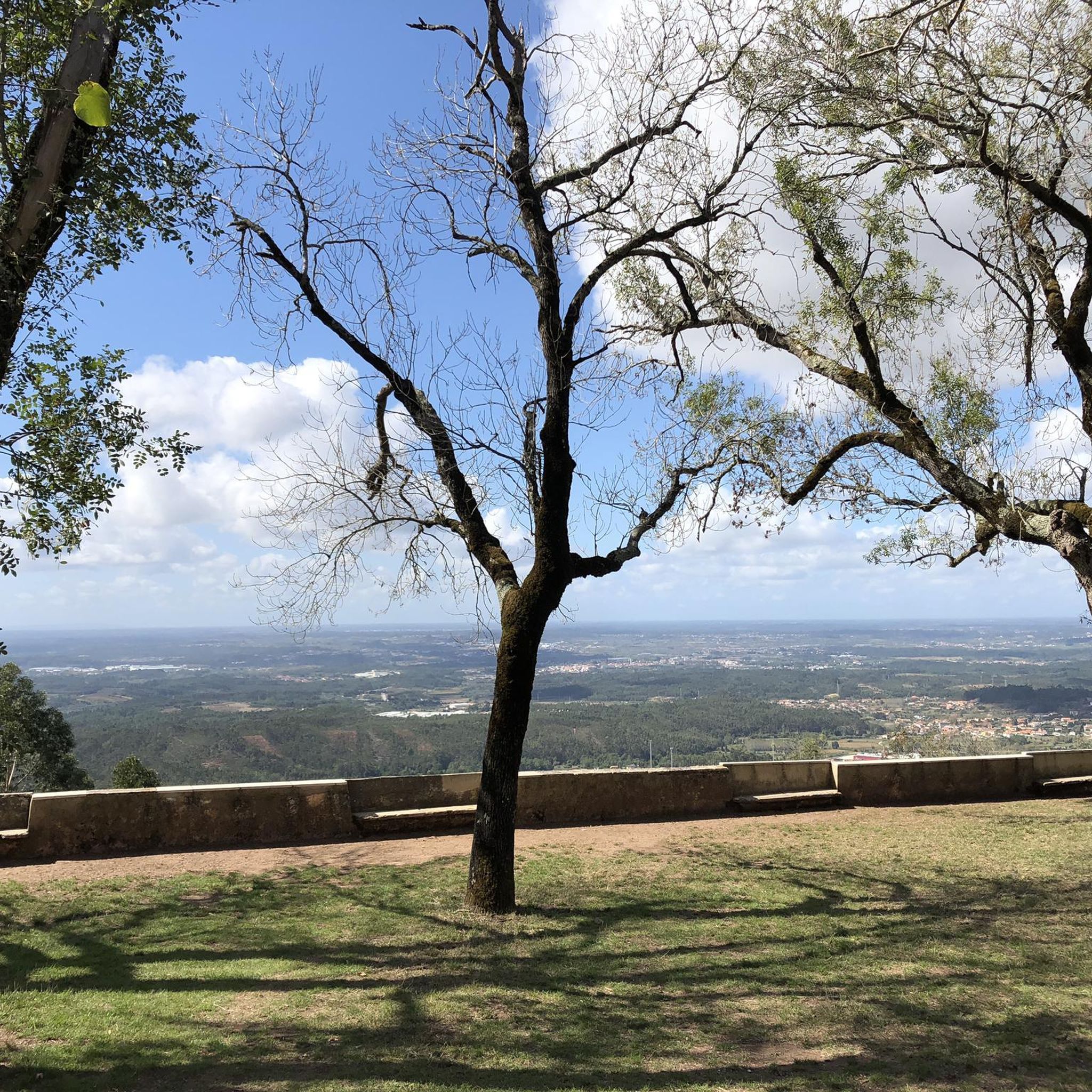
While specific viewpoints directly on the trails are not detailed, the region around Aguim offers several notable attractions. You might consider visiting the Cruz Alta Viewpoint for panoramic vistas, or exploring the natural beauty of Fonte Fria and Vale das Feteiras.
What are some interesting landmarks or places to explore near Aguim?
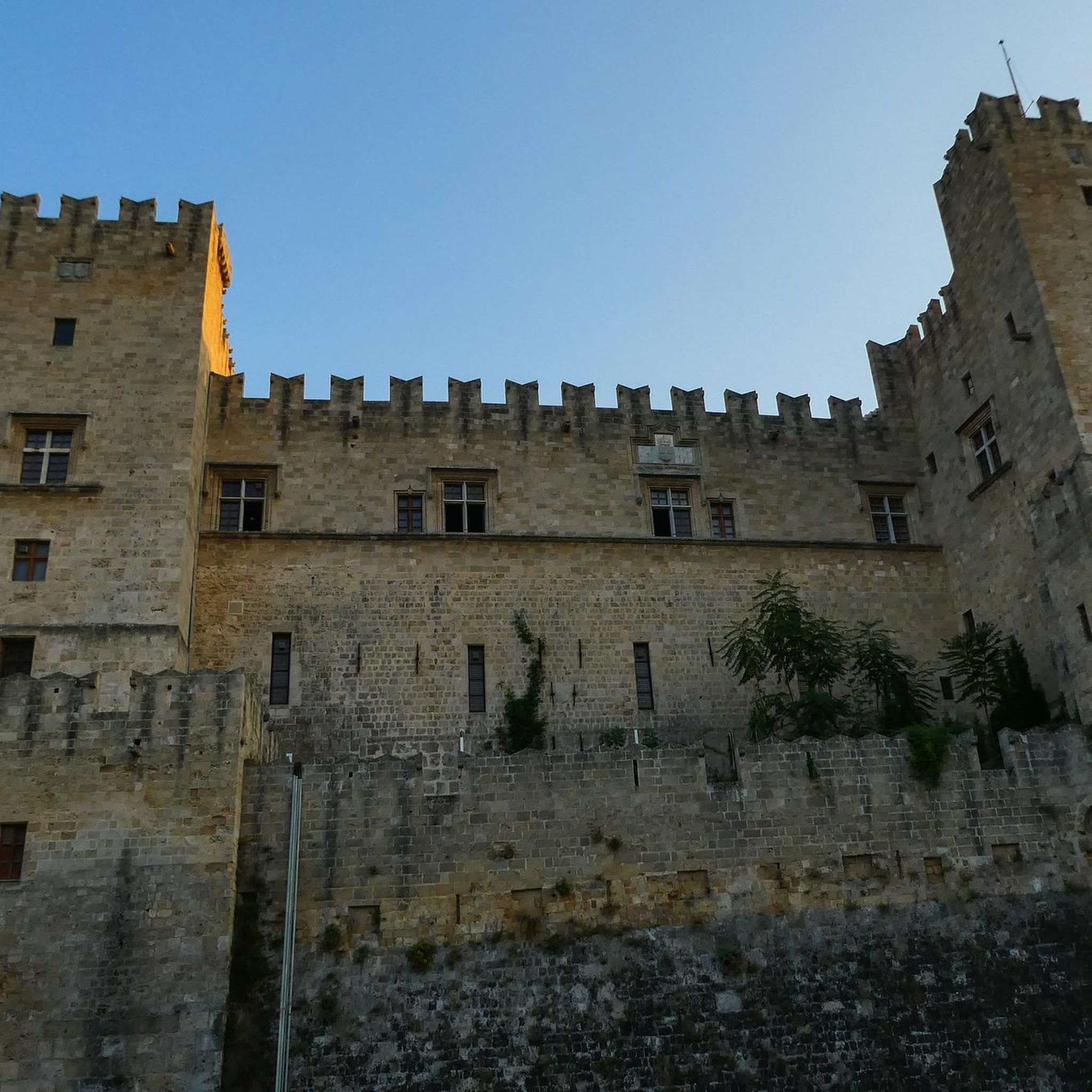
Beyond the trails, the area near Aguim features historical and natural landmarks. You could visit the impressive Buçaco Palace Hotel or the Buçaco Palace, both offering a glimpse into the region's heritage.
Is there a moderate mountain bike trail that offers a good challenge without being overly difficult?
Yes, the View from Monte Castro – Visconde de Seabra Square loop from Curia is a popular moderate option. This 16.6-mile (26.7 km) path includes a notable ascent of over 380 meters and typically takes around 1 hour 47 minutes to complete.
What is the elevation gain like on the mountain bike trails in Aguim?
The trails in Aguim feature varied elevation gains. For instance, the difficult Umbrella Sky Project, Águeda loop from Paraimo has an elevation gain of over 1070 meters, while moderate routes like the View from Monte Castro – Visconde de Seabra Square loop from Curia include ascents of around 380 meters.
Most popular routes around Aguim
Most popular attractions around Aguim

Get inspired with the komoot mobile app


Explore more
Browse the best MTB trails in other regions.
