The best running trails around Mansores
4.3
(7)
253
runners
17
runs
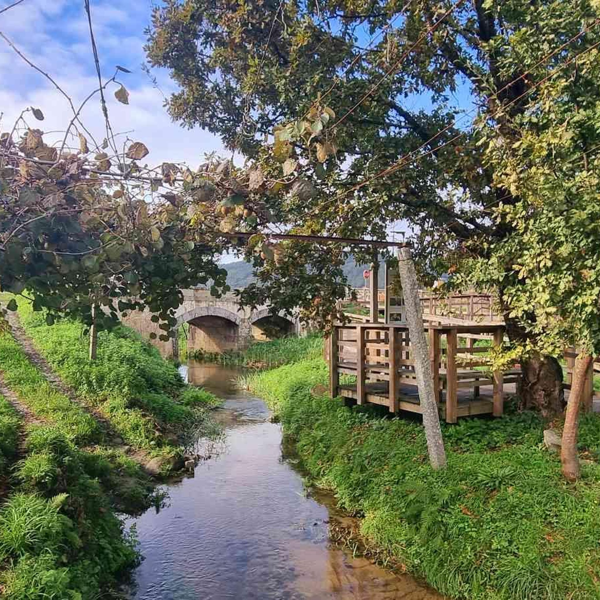
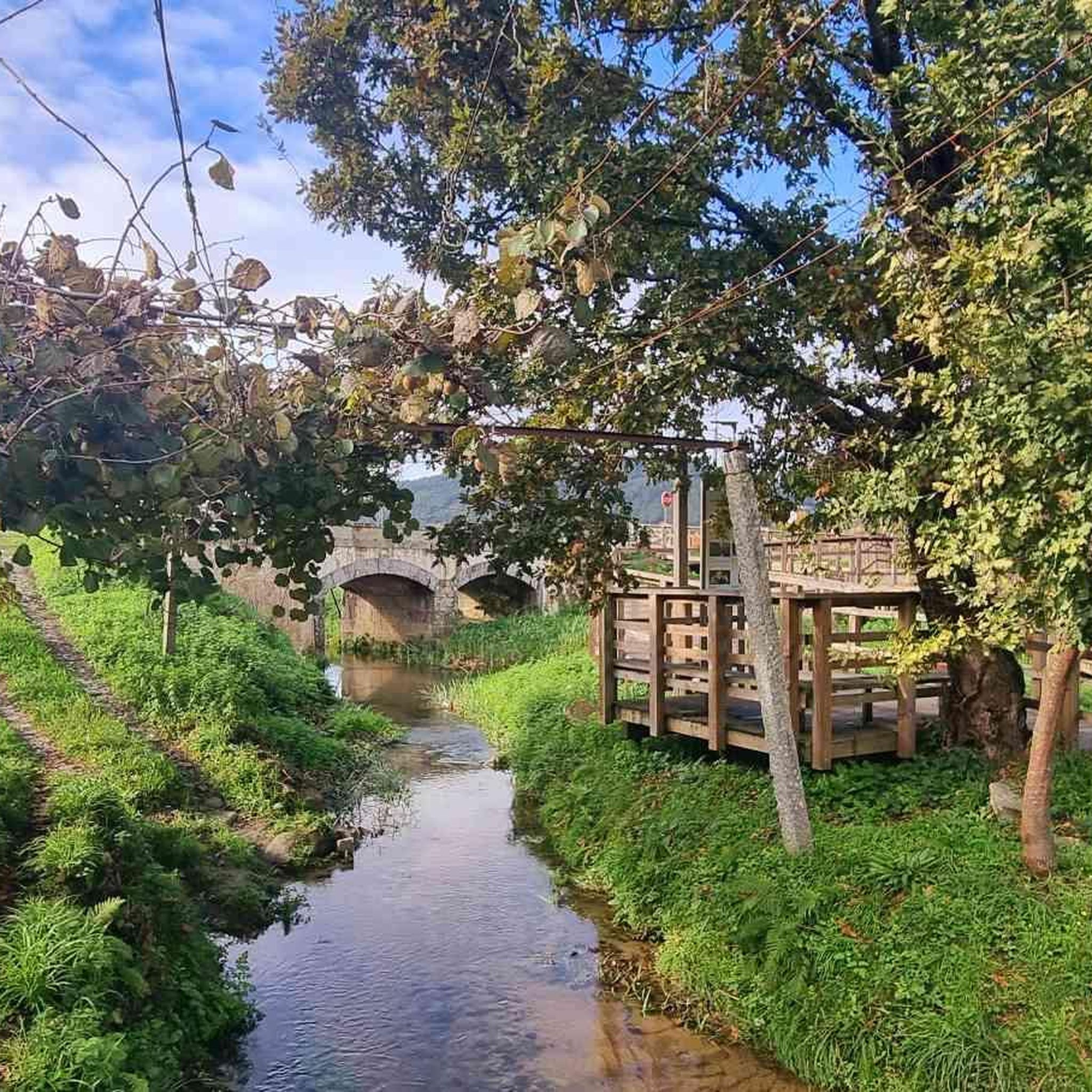
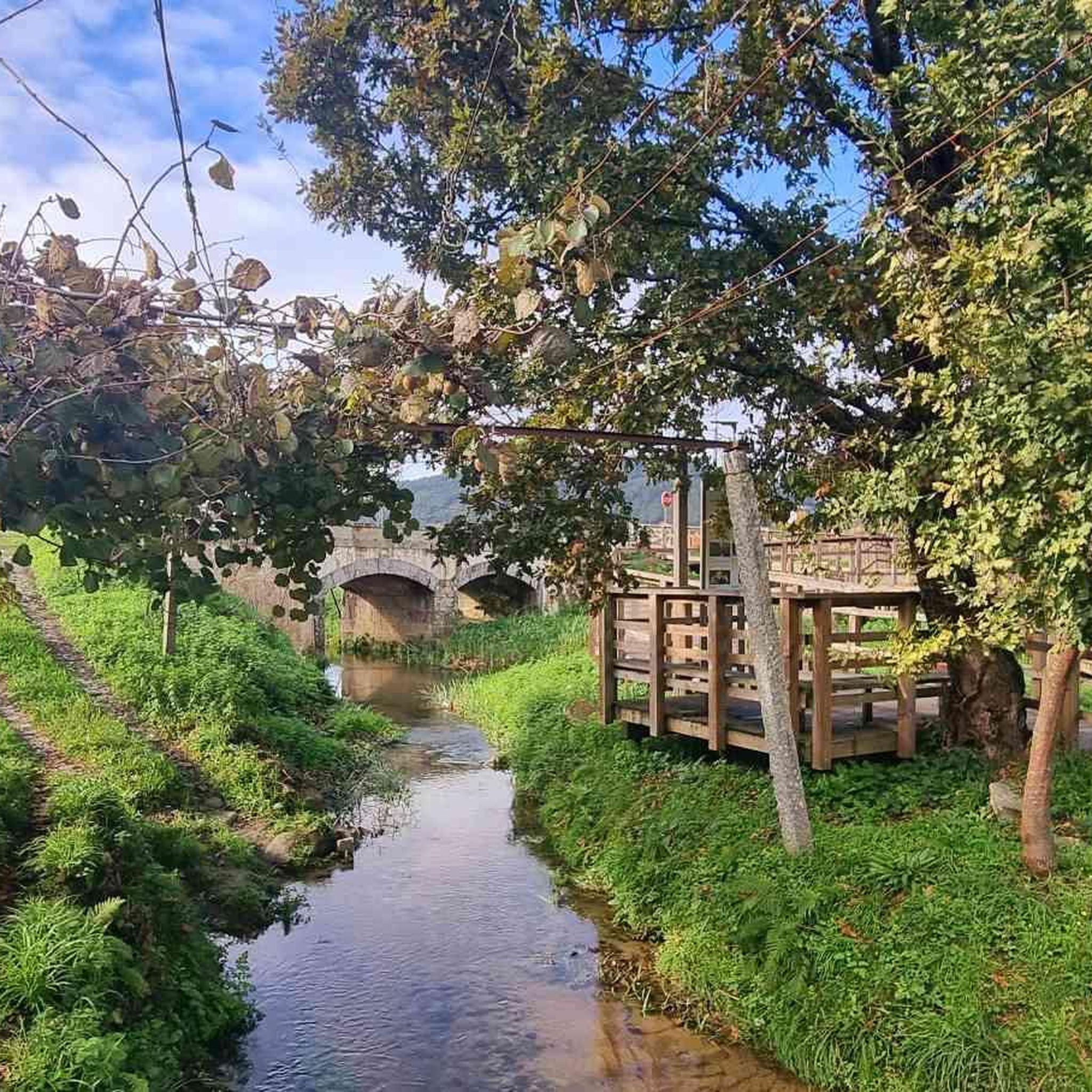
Jogging routes around Mansores are located within the mountainous Arouca municipality in Portugal's Aveiro District, presenting a varied natural landscape for outdoor activities. The region features diverse terrain, including river valleys, traditional villages, and areas with lush riparian vegetation. Runners can expect paths that follow ancient stone water channels, known as "levadas," and trails that traverse agricultural valleys, often providing mountain views. Mansores trail difficulty elevation varies, with a focus on more challenging routes that include significant elevation gain.
Best…
Last updated: August 19, 2026
4.0
(1)
101
runners
30.9km
04:17
1,310m
1,310m
Hard run. Very good fitness required. Mostly paved surfaces. Suitable for all skill levels.
13
runners
18.3km
02:30
580m
580m
Hard run. Very good fitness required. Mostly paved surfaces. Suitable for all skill levels.

Sign up for free
16
runners
20.4km
02:37
630m
630m
Hard run. Very good fitness required. Mostly paved surfaces. Suitable for all skill levels.
20
runners
16.2km
01:44
250m
250m
Hard run. Very good fitness required. Mostly paved surfaces. Suitable for all skill levels.
5.0
(1)
10
runners
6.93km
01:04
360m
360m
Hard run. Very good fitness required. Mostly paved surfaces. Suitable for all skill levels.
Get access to more routes and recommendations from other explorers.
Sign up for free
Already have an account?
Our route recommendations are based on thousands of hikes, rides, and runs completed by other people on komoot.
Start today with a free account
Your next adventure awaits.
Login or Signup
Tips from the Community


In charming Arouca you will find the Arouca Monastery, an architectural and historical landmark, and the picturesque streets and squares that exude ancient charm. The local gastronomy, in particular the conventual sweets, is an attraction in itself. The Arouca Geopark is famous for its Paiva Walkways, offering spectacular trails and views over the Paiva River, as well as trilobite fossils, highlighting an important geological and natural heritage.
0
0

These trails, which stretch along the cliffs of Frecha da Mizarela, offer stunning views of the highest waterfall in mainland Portugal. At every step, the immensity of the mountainous landscape surprises you, making each steep climb a reward in itself.
1
0

Located next to Av. 25 de Abril, the Arouca Municipal Park invites you to enjoy moments of peace in the heart of the historic center. It is home to the statue of the Holy Queen Mafalda. In the immediate vicinity are the Arouca Municipal Library, the Terreiro de Santa Mafalda and the Arouca Monastery. It is equipped with a playground, a 5-a-side football pitch and a car park.
4
1

The Detrelo da Malhada Panoramic View, in the Arouca Geopark, offers an impressive view over the Freita mountain range and the Arda valley. On clear days you have distant views of Porto and the Marão mountains.
0
0
In charming Arouca you will find the Arouca Monastery, an architectural and historical landmark, and the picturesque streets and squares that exude ancient charm. The local gastronomy, in particular the convent sweets, is an attraction in itself. The Arouca Geopark is famous for its Paiva Walkways, offering spectacular trails and views over the Paiva River, as well as trilobite fossils, highlighting an important geological and natural heritage.
1
0

STRONG PHYSICAL AND PSYCHOLOGICAL CONDITION, STRETCH WITH MOUNTAIN CHARACTERISTICS, AVOID HEAT
0
0

Frequently Asked Questions
What kind of terrain can I expect on running routes around Mansores?
Jogging routes in Mansores offer a diverse and varied terrain. You'll find paths that follow ancient stone water channels, known as "levadas," traverse agricultural valleys, and provide stunning mountain views. The region is characterized by lush riparian vegetation, especially along streams, and includes traditional villages. Expect a mix of inclines and descents, providing a good workout within the mountainous Arouca municipality.
Are there many running trails available in Mansores?
Yes, Mansores offers a good selection of running trails. There are currently 17 routes available for jogging, catering to various preferences, though the focus is on more challenging experiences.
What is the difficulty level of jogging routes in Mansores?
The majority of jogging routes in Mansores are considered challenging. Out of the 17 available routes, 12 are rated as difficult, and 5 are moderate. There are no easy routes listed, indicating a focus on more demanding runs with significant elevation changes.
Can I find circular running routes in Mansores?
Yes, many of the running routes in Mansores are circular, offering convenient starting and ending points. For example, the Pedra Má – Serra do Pinheiro (Vila Nova) loop from Milheirós de Poiares is a challenging 14.18 km option, and the Praia Fluvial de Burgães loop from Macieira de Cambra is another difficult 15.74 km loop.
What natural features or landmarks can I see while running in Mansores?
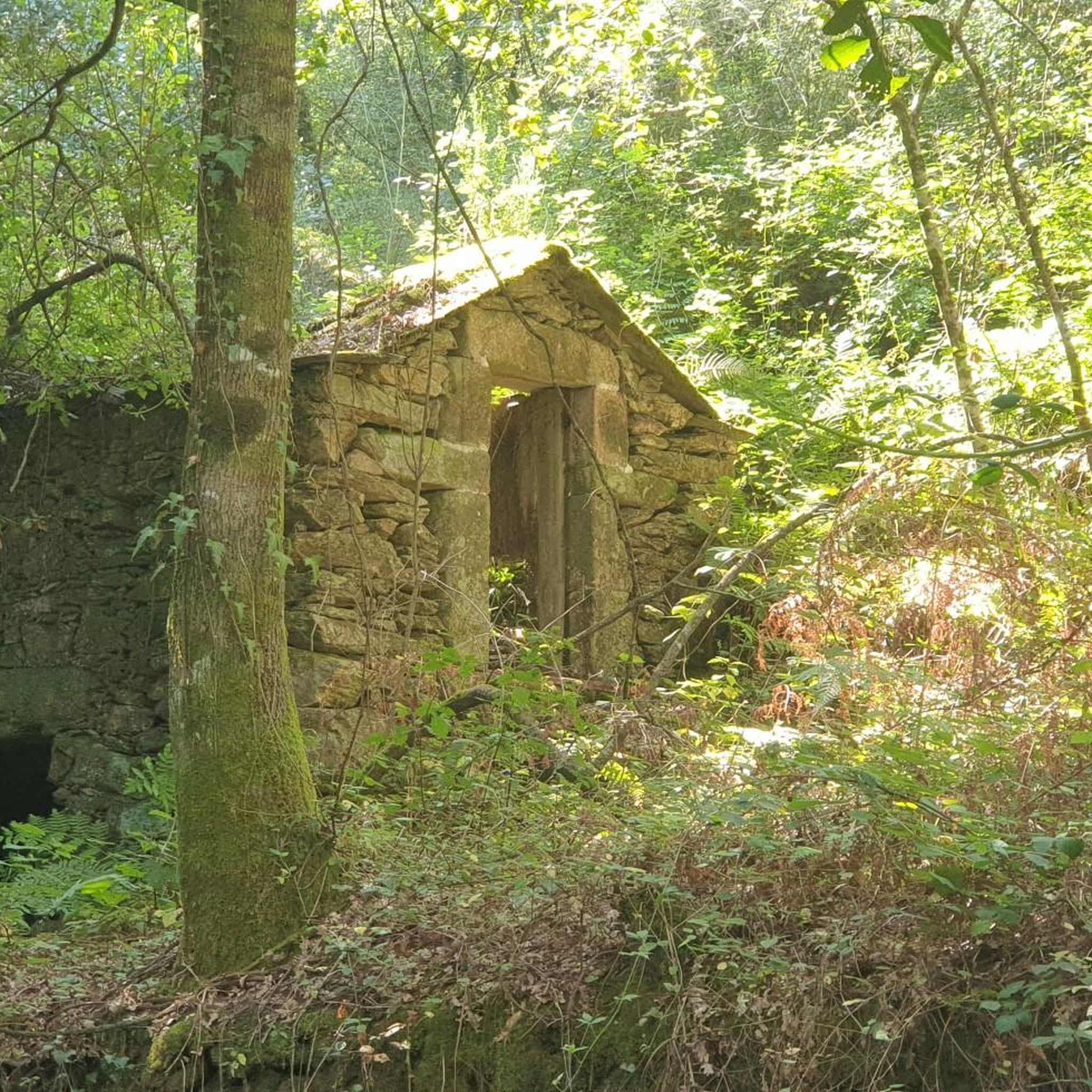
Mansores' running routes are rich with natural beauty and historical sites. You can encounter picturesque watermills, small waterfalls, and lagoons along streams like the Barrosa. The trails often follow ancient "levadas" (stone water channels) and pass through areas with native chestnut, oak, and alder trees. You'll also find various viewpoints offering panoramic mountain and valley vistas, such as the Detrelo da Malhada Viewpoint or the Alto do Monte de Avelheira and Chapel.
Are there any historical sites or traditional villages along the running trails?
Absolutely. The trails often meander through traditional hamlets and localities like Crasto, Juncido, and Barrosa, offering glimpses into local life and architecture. You might also encounter historical points of interest such as the Cruzeiro dos Centenários (Centenary Cross) or the Casa da Terça, an 18th-century semi-manorial house, adding a cultural dimension to your run.
What do other runners say about the trails in Mansores?
The running trails in Mansores are highly regarded by the komoot community, with an average score of 4.25 stars from over 4 reviews. Runners often praise the varied terrain, the natural beauty, and the challenging yet rewarding experience these routes provide.
Are there any specific trails that feature watermills or waterfalls?
Yes, the region is known for its watermills. The PR11 - Trilho das Levadas, a prominent trail in the area, features ten picturesque watermills along the Barrosa stream, and another cluster of three near Mata. This trail also includes small waterfalls and lagoons, surrounded by dense vegetation, creating a charming and historical backdrop for your run.
What kind of vegetation can I expect to see on the running routes?
You'll experience lush riparian vegetation, especially along the margins of streams. This includes abundant native trees such as chestnut, oak, and alder, which provide natural shade and a refreshing environment, particularly during warmer months.
Are the running routes in Mansores well-marked?
Yes, trails like the PR11 - Trilho das Levadas are well-marked according to the rules of the Portuguese Camping and Mountaineering Federation. This ensures that navigation is straightforward for runners, allowing you to focus on enjoying the scenery and your run.
What is a good challenging running route in the Mansores area?
For a challenging experience, consider the Arouca – Arouca Town Center loop from Arouca. This difficult route spans 30.5 km (19.0 miles) and features significant elevation gain, typically taking around 4 hours and 14 minutes to complete, offering a substantial workout.
Are there any running routes that offer views of the Frecha da Mizarela?
While not directly in Mansores, the nearby Frecha da Mizarela Trail – Pedra das Marcas loop from Albergaria da Serra is a challenging 18.3 km (11.4 miles) route that leads through natural features, including the area around the Frecha da Mizarela, a notable natural monument. You can also find the Frecha da Mizarela Trail highlight itself.
Most popular routes around Mansores
Most popular attractions around Mansores

Get inspired with the komoot mobile app


Explore more
Browse the best Running Trails & Routes in other regions.
