The best road cycling routes around Aradas
4.7
(91)
3,555
riders
233
rides
Road cycling routes around Aradas traverse a varied landscape, ranging from coastal plains near Aveiro to more challenging inland hills. The region features a mix of agricultural areas, small towns, and routes with significant elevation gains, particularly towards areas like Caramulinho Peak. Road cyclists can expect diverse terrain, from relatively flat sections to sustained climbs.
Best road cycling routes around Aradas
- The most popular road cycling route is Caramulinho Peak – Caramulinho Summit loop from Quintans, a 76.2 miles…
Last updated: July 2, 2026
5.0
(1)
76
riders
123km
06:09
1,820m
1,820m
Hard road ride. Very good fitness required. Mostly well-paved surfaces and easy to ride.
26
riders
47.5km
02:08
360m
360m
Moderate road ride. Good fitness required. Mostly well-paved surfaces and easy to ride.

Sign up for free
13
riders
89.8km
04:10
860m
860m
Moderate road ride. Good fitness required. Mostly well-paved surfaces and easy to ride.
5.0
(1)
14
riders
115km
05:40
1,450m
1,450m
Hard road ride. Very good fitness required. Some segments of this route may be unpaved and difficult to ride.
3.4
(5)
52
riders
30.5km
01:12
90m
90m
Easy road ride. Great for any fitness level. Mostly well-paved surfaces and easy to ride.
Get access to more routes and recommendations from other explorers.
Sign up for free
Already have an account?
Our route recommendations are based on thousands of hikes, rides, and runs completed by other people on komoot.
Start today with a free account
Your next adventure awaits.
Login or Signup
Tips from the Community

Very beautiful place. To rest a little.
1
0
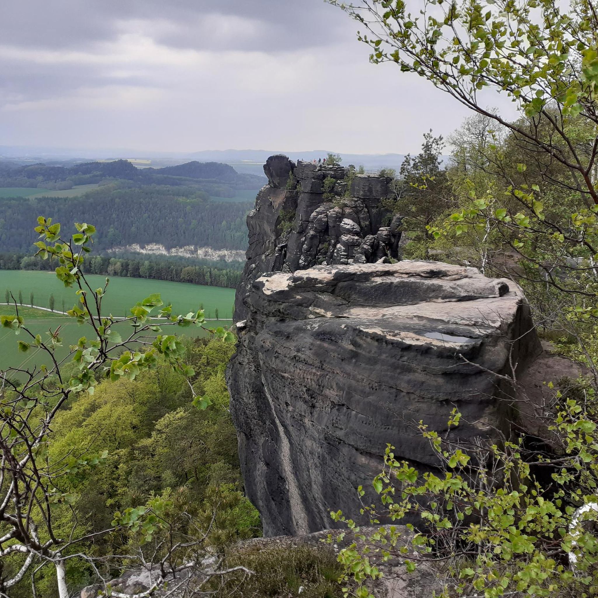
Spectacular view over the river.
1
0

In the past, this bridge was used to be used to ask for the hand of the beloved (engagement bridge).
4
0

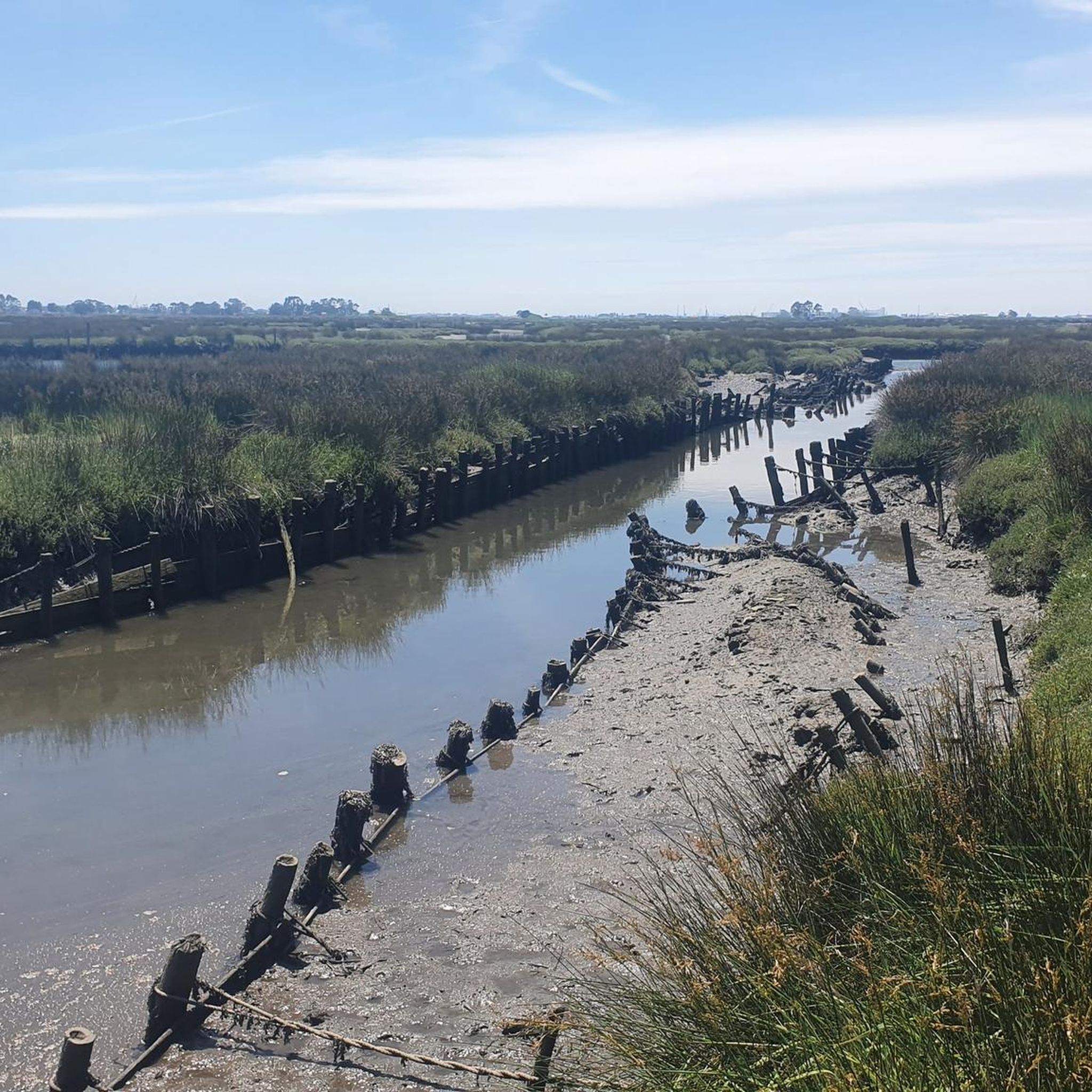
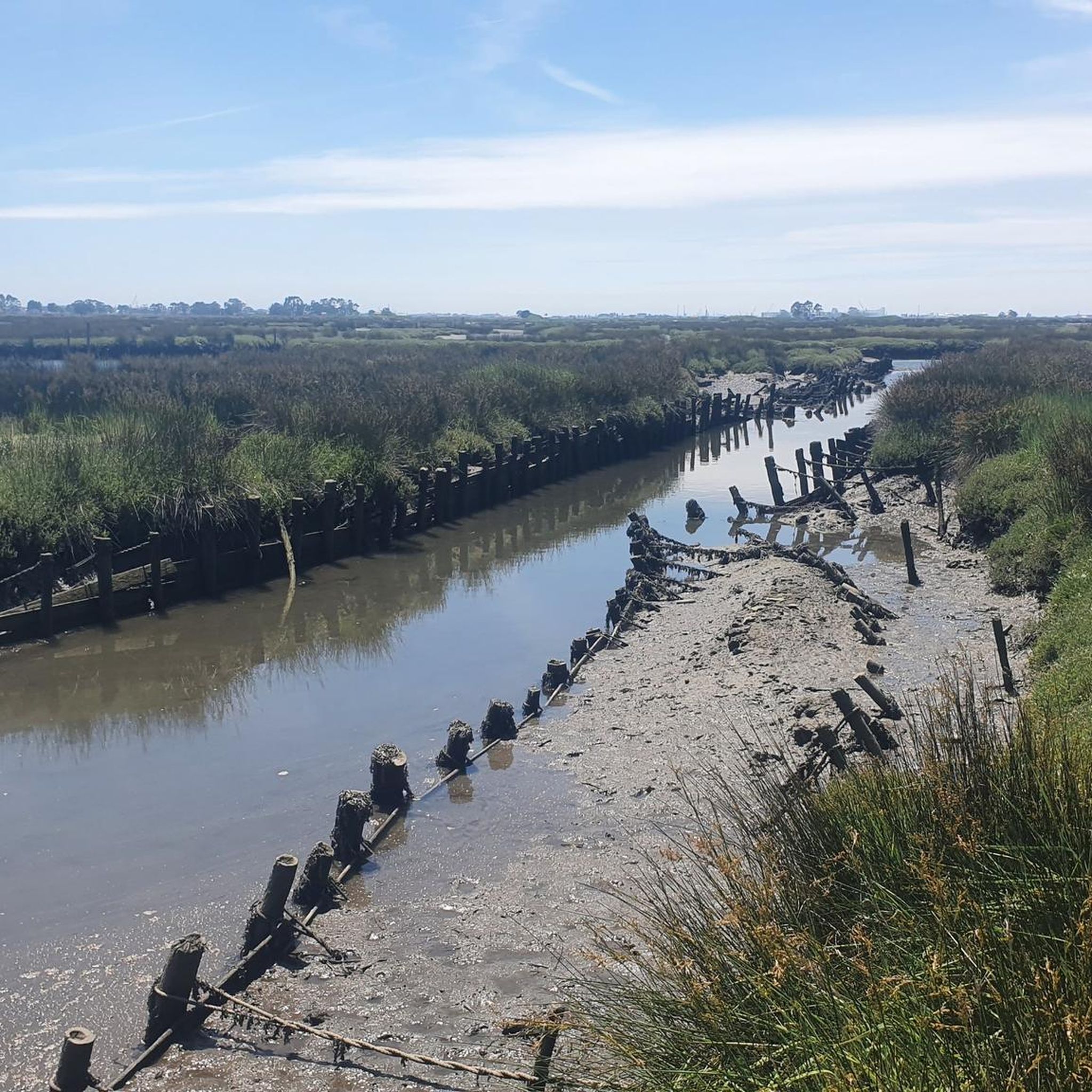
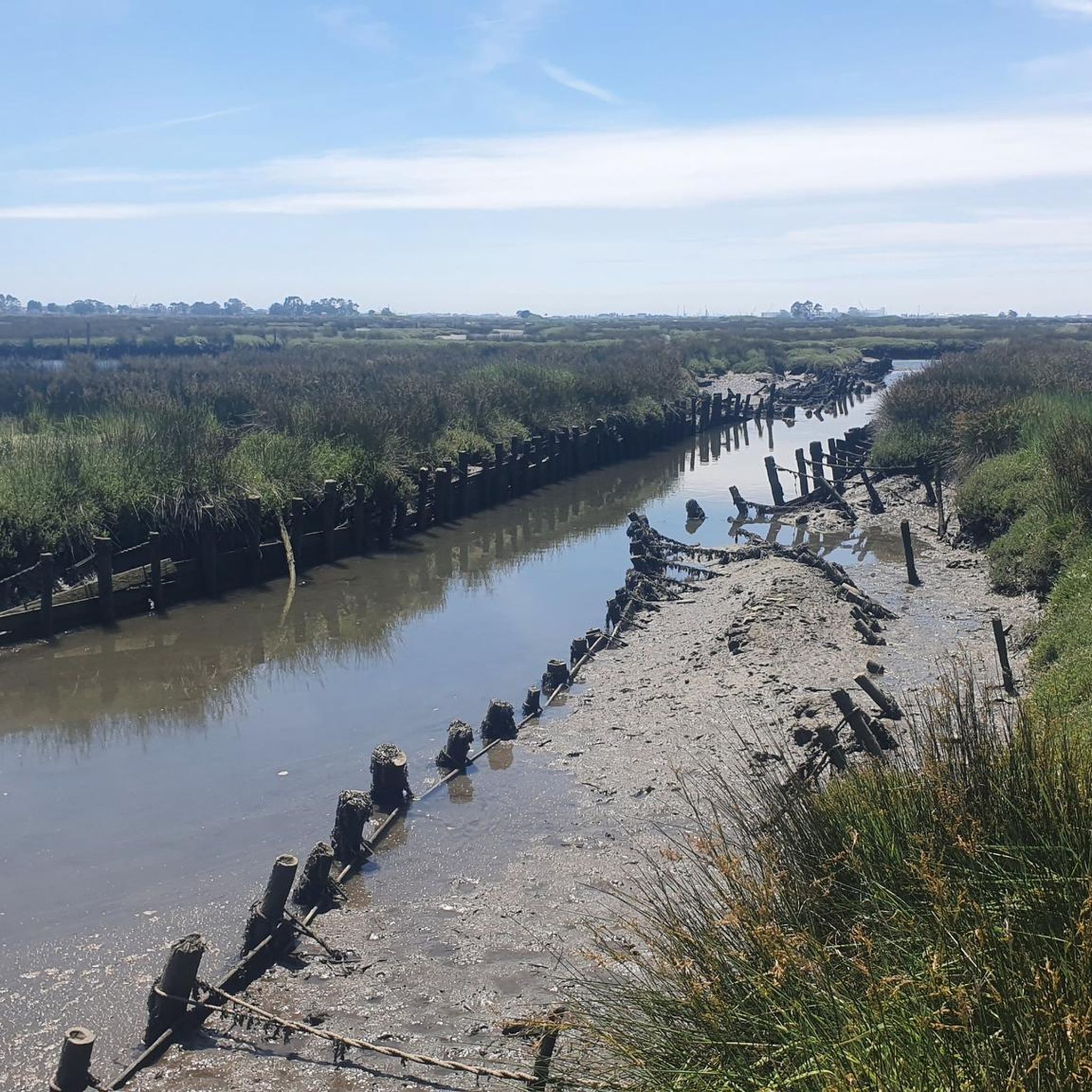
Salt mining in the Aveiro region dates back to a time before the Ria de Aveiro itself existed, with the first written document about Aveiro salt production dating back to before the founding of the nation. Over the centuries, the instability of the inlet (isolation from the sea) was a decisive factor in the variation in the number and production of salt pans. This resulted in periods of decline interspersed with periods of great favorability for production. This occurred in 1572, when, given the favorable condition of the inlet and the high and progressive commercial and maritime index, Aveiro became one of the best ports in Portugal, with a significant increase in salt trade and cod fishing. In 1808, the new inlet (an artificial system that allows seawater to enter) was finally opened, a fact of exceptional importance for the future of Aveiro and the entire region. (Source: Wikipedia) (Source: Wikipedia)⁶
13
0
Located on the São Roque canal, the Carcavelos Bridge was built in 1953 to replace the original bridge, which collapsed 11 years earlier. It was a mandatory crossing point for workers on the Sal River. It is one of the oldest and most emblematic bridges in Aveiro. It was built over the São Roque canal. Yellow, adorned with balusters and the city's coat of arms (the eagle represents the symbol of Aveiro), the Carcavelos Bridge can be visited during a stroll through the typical Beira-Mar neighborhood or on one of the many boat tours along the estuary. (www.turismo.portugal.com)
10
0

The most beautiful of the bridges.
2
0

The municipality of Albergaria-a-Velha has an area of 158.830 km², subdivided into six parishes. The municipality is bordered to the north by the municipalities of Estarreja and Oliveira de Azeméis, to the east by Sever do Vouga, to the southeast by Águeda, to the southwest by Aveiro, and to the northwest, through a channel of the Ria de Aveiro, by Murtosa.
2
0

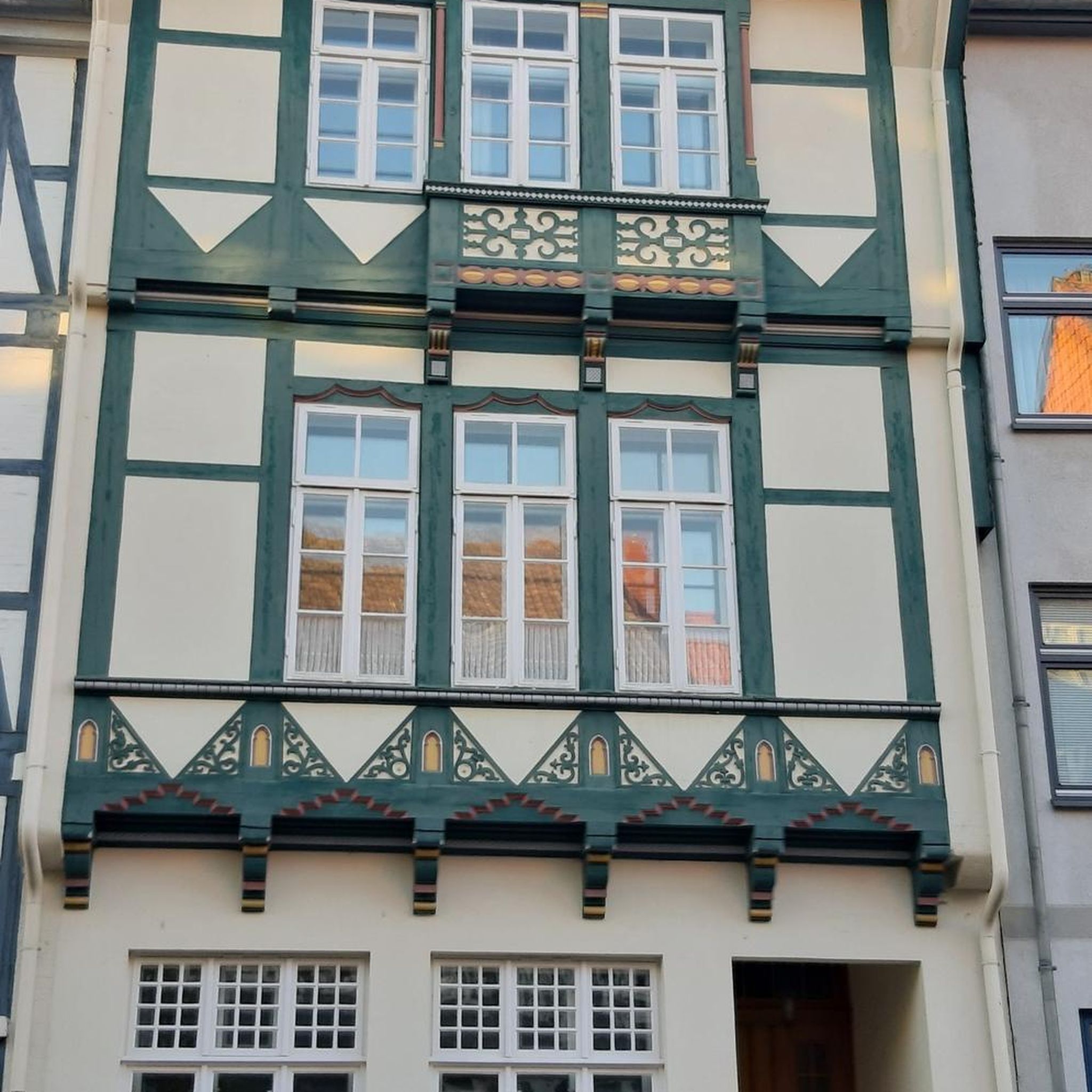
When you leave the station, this building immediately catches your eye
9
0
Frequently Asked Questions
How many road cycling routes are available around Aradas?
There are over 240 road cycling routes available around Aradas, catering to various skill levels. This includes 63 easy routes, 150 moderate routes, and 30 challenging routes for experienced cyclists.
Are there any easy road cycling routes suitable for beginners in Aradas?
Yes, Aradas offers several easy routes perfect for beginners. One such option is the Princess Saint Joana Statue – Republic Square, Aveiro loop from Aradas, which is a relatively flat 16.5-mile (26.6 km) ride with minimal elevation gain, ideal for a relaxed cycling experience.
What are the best routes for long-distance road cycling in the Aradas region?
For those seeking longer distances and significant challenges, routes like the Caramulinho Peak – Caramulinho Summit loop from Quintans offer an extensive ride of 76.2 miles (122.6 km) with substantial elevation gain. Another excellent long-distance option is the Poço de S. Tiago Bridge – Paradela Station loop from Quintans, covering 70.8 miles (114 km) with considerable climbing.
Are there any circular road cycling routes around Aradas?
Many of the road cycling routes in Aradas are designed as loops, allowing you to start and finish at the same point. Examples include the Feira da Palhaça Mural – Varanda de Pilatos loop from Quintans and the Luso Spring Fountain – Feira da Palhaça Mural loop from Quintans, both offering diverse scenery on a circular path.
What kind of scenery can I expect on road cycling routes in Aradas?
Road cycling in Aradas offers a diverse landscape. You'll find routes traversing coastal plains near Aveiro, agricultural areas, and small towns. Inland, routes lead into more challenging hills, with significant elevation gains towards areas like Caramulinho Peak. Expect a mix of natural beauty and cultural landmarks.
What are some scenic viewpoints or attractions along the road cycling routes?
Many routes offer scenic views and pass by interesting attractions. You might encounter the iconic Costa Nova Striped Houses, the tranquil Aveiro Lagoon - Mira Channel, or the historic Barra Lighthouse. Some routes also feature cultural murals and natural springs.
What is the best time of year for road cycling in Aradas?
The region generally offers pleasant cycling conditions for much of the year. Spring and autumn typically provide mild temperatures and less rainfall, making them ideal for road cycling. Summer can be warm, especially inland, while winter might bring cooler, wetter weather, though many days remain suitable for riding.
Are there routes that pass by cafes or places to stop for refreshments?
Given the mix of agricultural areas and small towns, many routes will naturally pass through villages or near urban centers like Aveiro where cafes and restaurants are readily available. Planning your route with komoot allows you to identify points of interest and potential stops along the way.
What do other cyclists say about road cycling in Aradas?
The road cycling routes in Aradas are highly regarded by the komoot community, with an average rating of 4.7 stars from over 80 reviews. Cyclists often praise the varied terrain, from coastal stretches to challenging climbs, and the opportunity to explore both natural landscapes and cultural sites.
Are there any routes that explore the coastal areas near Aradas?
Yes, Aradas is close to the coast, and several routes incorporate coastal plains and views of the Atlantic. While specific coastal routes are not detailed here, the region's proximity to Aveiro means you can expect flat sections leading towards the sea, often featuring cycle paths like the Canal de Mira Cycle Path or the Costa Nova to Vagueira Cycle Path.
What are the most challenging road cycling routes in Aradas?
For experienced cyclists looking for a challenge, routes with significant elevation gain are available. The Caramulinho Peak – Caramulinho Summit loop from Quintans, with over 6,000 feet (1,800 meters) of climbing, is a prime example of a difficult route that tests endurance and skill.
Most popular attractions around Aradas

Get inspired with the komoot mobile app


Explore more
Browse the best Road cycling routes in other regions.
