The best road cycling routes around Travanca
3.9
(101)
1,955
riders
111
rides
Road cycling routes around Travanca, situated within the Arouca Geopark in Aveiro, Portugal, traverse diverse landscapes. The region features continuous zigzagging paths through mountainous terrain and deep valleys, including the Serra da Freita. Routes often wind through the Paiva River and Arda River valleys, offering varied topography. Cyclists can expect quiet country roads that pass through small villages and unique geological formations.
Best road cycling routes around Travanca
- The most popular road cycling route is From Santa Maria da Feira…
Last updated: July 15, 2026
2
riders
25.0km
01:11
270m
270m
This easy 15.5-mile (25.0 km) road cycling route from Santa Maria da Feira to Ovar offers coastal views, rural landscapes, and the Ria de Av
50
riders
64.9km
02:48
510m
510m
Moderate road ride. Good fitness required. Mostly well-paved surfaces and easy to ride.

Sign up for free
3.9
(17)
47
riders
Moderate road ride. Good fitness required. Mostly well-paved surfaces and easy to ride.
4.0
(3)
22
riders
51.8km
02:49
1,020m
1,020m
Hard road ride. Very good fitness required. Mostly well-paved surfaces and easy to ride.
2.0
(1)
8
riders
38.7km
01:49
460m
460m
Moderate road ride. Good fitness required. Mostly well-paved surfaces and easy to ride.
Get access to more routes and recommendations from other explorers.
Sign up for free
Already have an account?
Our route recommendations are based on thousands of hikes, rides, and runs completed by other people on komoot.
Start today with a free account
Your next adventure awaits.
Login or Signup
Tips from the Community

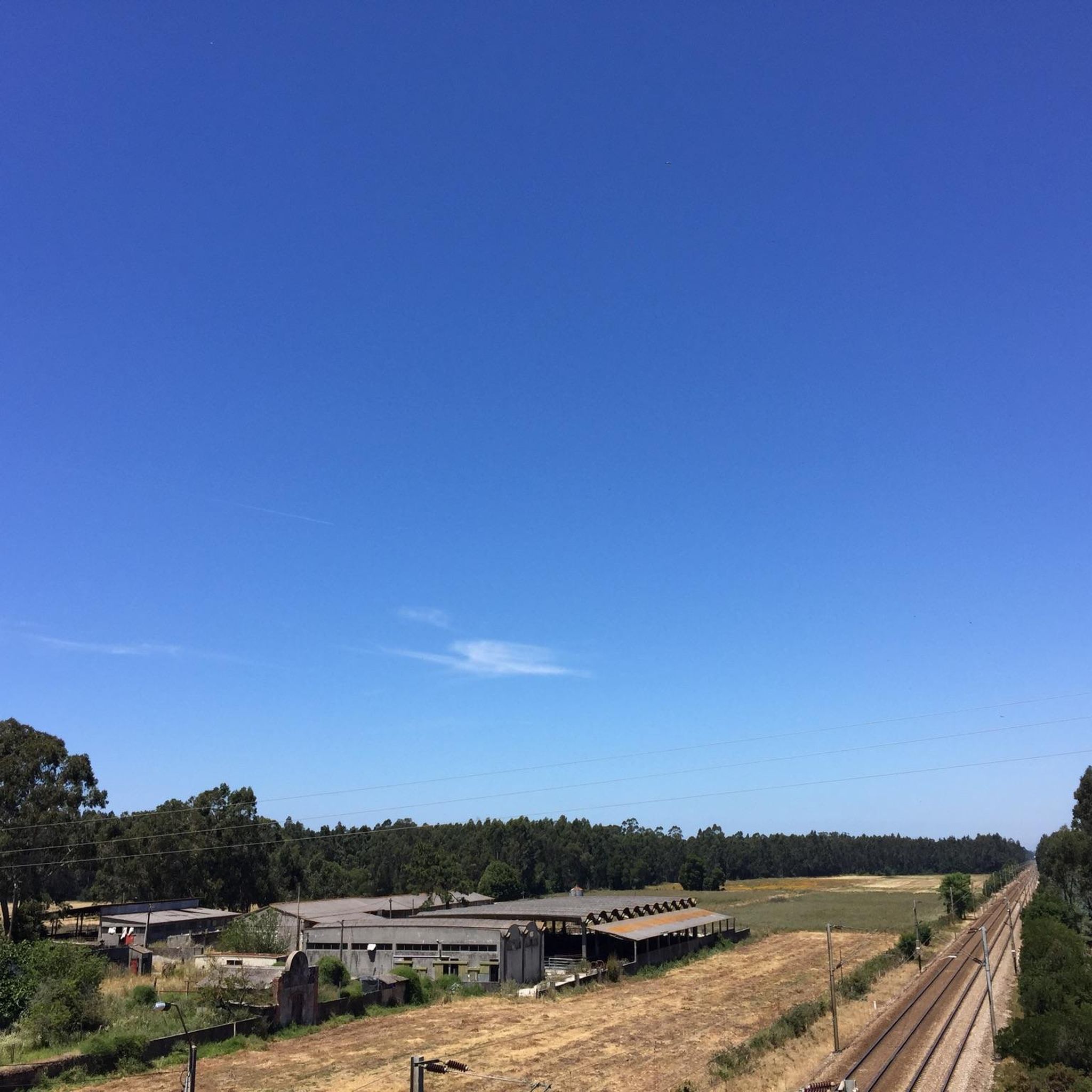
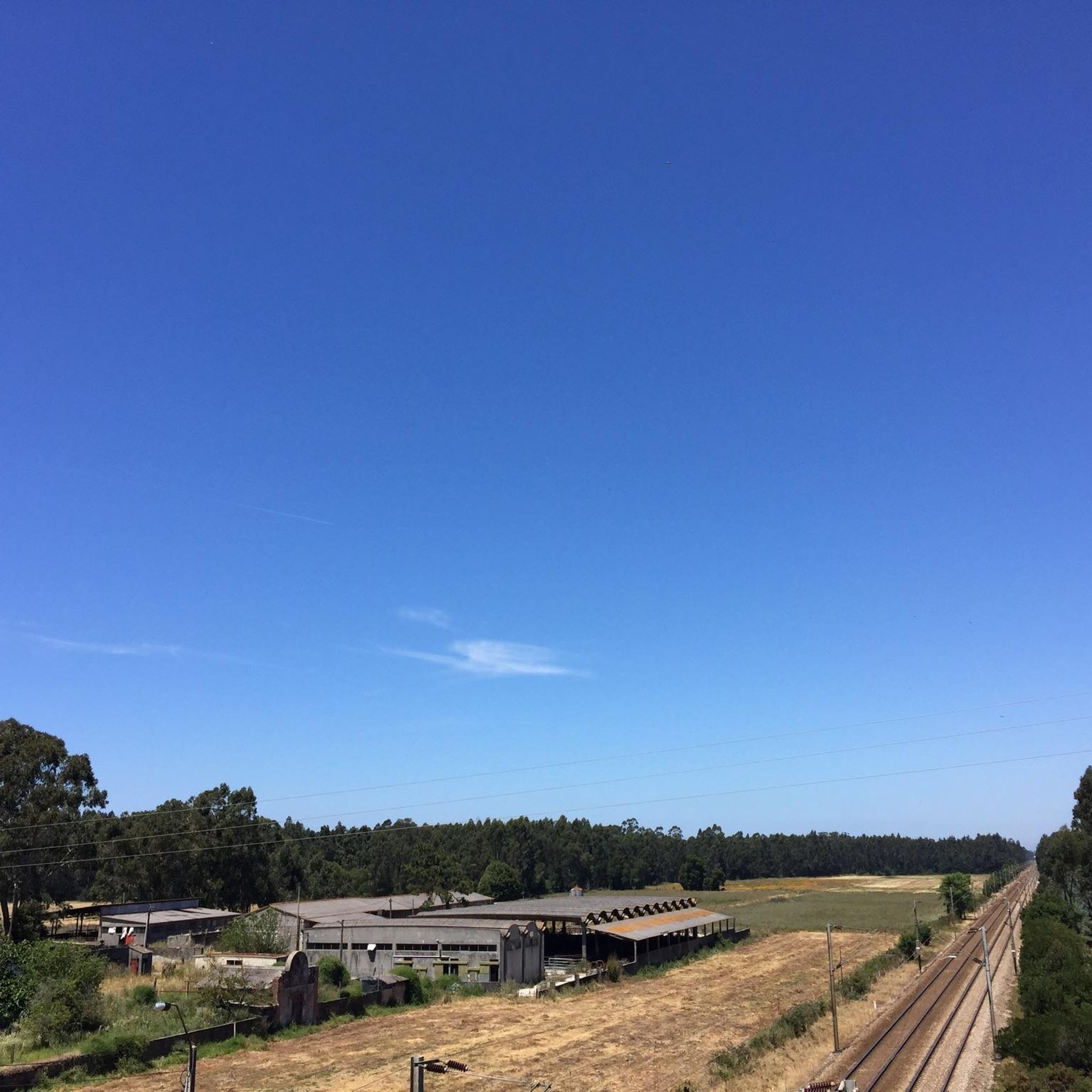
Old Leirosa road parallel to the national road
0
0

Cool view of a beautiful house
1
0


I recommend it very beautiful
1
0

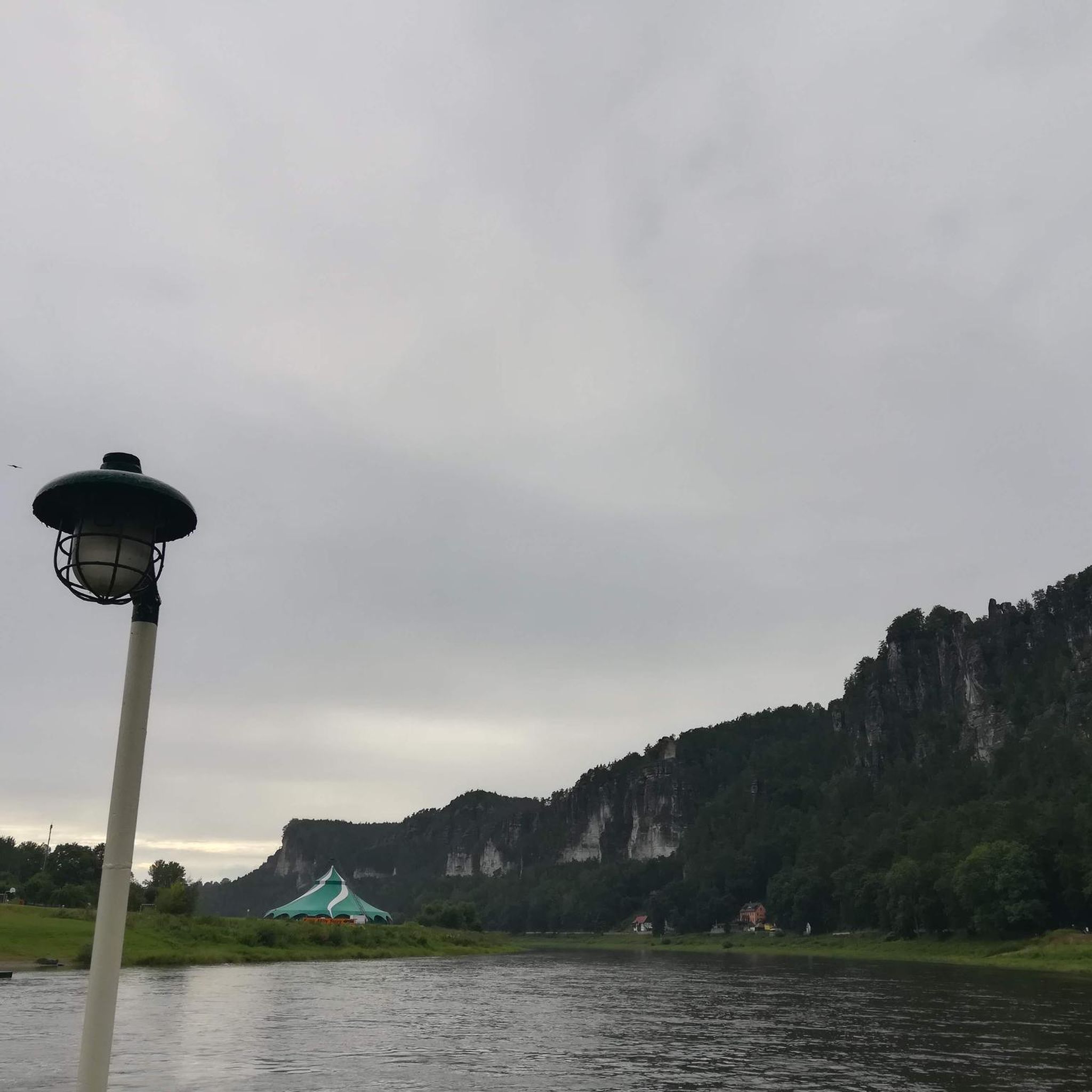
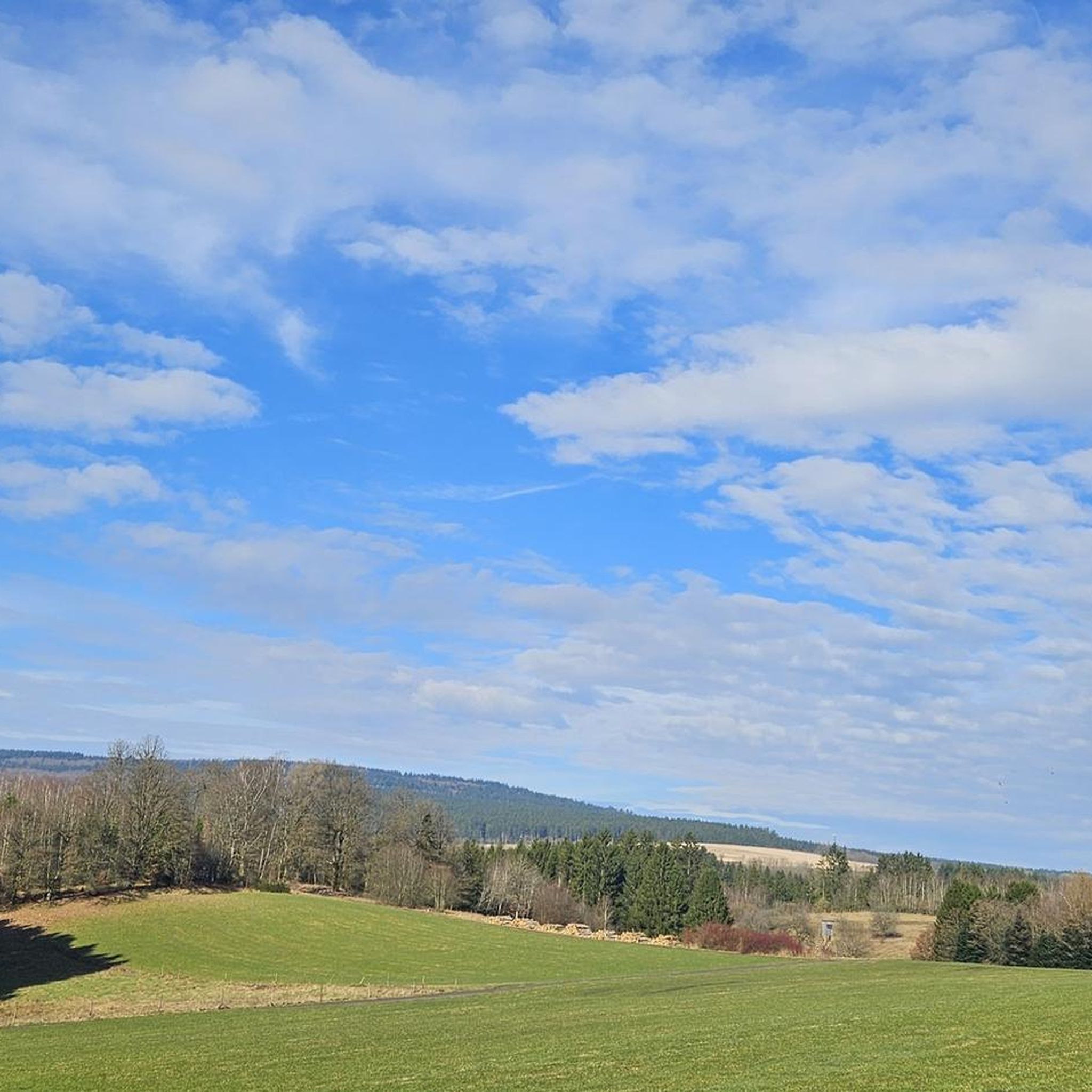
View of the hills in the area of Estrada. Enjoy this stunning view and stop to take a picture to remember this moment.
0
0


The cycle path along the coast towards Porto is great. Unfortunately it ends at Duro and you cycle to Porto on a road without a cycle path. Watch out for the broken manhole covers. Danger of falling!
1
0

The Parque das Ribeiras do Uíma extends over an area of approximately six hectares, combining several systems of wetlands, terrestrial areas and human occupation to form an extensive floodplain. Situated in a valley between the villages of Fiães and Lobão, it is characterised by extensive marshy alder and willow forests. Here you can see areas that are very rich in terms of habitat diversity, housing a large number of plant and animal species.
0
0
Frequently Asked Questions
What is the general terrain like for road cycling around Travanca?
Road cycling routes around Travanca, located within the Arouca Geopark, feature continuous zigzagging paths through mountainous terrain and deep valleys, including the Serra da Freita. You'll find routes winding through the scenic Paiva River and Arda River valleys, offering varied topography. The area is characterized by quiet country roads that pass through small villages and unique geological formations.
How many road cycling routes are available in the Travanca area?
There are over 110 road cycling routes available around Travanca on komoot, catering to various preferences and skill levels. The komoot community has explored these routes over 2,000 times.
Are there road cycling routes suitable for different skill levels in Travanca?
Yes, Travanca offers a diverse network of road cycling routes. You can find options ranging from easy, with 15 routes, to moderate, with 74 routes, and more challenging rides, with 28 routes, ensuring there's something for every cyclist.
What kind of scenery can I expect on road cycling routes near Travanca?
The routes in Travanca offer diverse scenery, from the lush vegetation of the Arda Valley to the pristine waters of the Paiva River. You'll cycle through the 'Magic Mountains' with their deep valleys and high ranges, and encounter unique geological features characteristic of the UNESCO Global Geopark. Many routes also pass through charming small villages, offering a glimpse into local life.
Are there any circular road cycling routes in Travanca?
Yes, many routes in the Travanca area are designed as loops, allowing you to start and end in the same location. For example, the Ponte da Varela – Chapel Among Cornfields loop from Vila da Feira is a popular moderate route, and the Torreira Marina – Ponte da Varela loop from Vila da Feira leads through river valleys.
What interesting places can I see near the road cycling routes in Travanca?
While cycling, you can explore several points of interest. Consider visiting the Ovar Canal 🌊 Aveiro Lagoon or the Barrinha de Esmoriz Nature Reserve for natural beauty. The Ovar Town Centre offers a cultural stop, and you can also find serene natural spots like the Pine sapping - Forest Trail and the Dune Forest of Ovar.
What do other road cyclists think about the routes in Travanca?
The road cycling routes around Travanca are highly rated by the komoot community, with an average score of 3.9 stars from over 90 reviews. Cyclists often praise the varied terrain, from challenging climbs to scenic descents, and the quiet country roads that offer an immersive experience of the region's natural beauty.
Are there any specific landmarks or unique natural features to look out for?
The Arouca Geopark, where Travanca is situated, is known for its diverse geological formations. While cycling, you'll be in an area rich in geological history, with sites like the 'Giant Trilobites of Canelas' and the 'Birthing Stones' of Freita Mountain nearby. The region's mountainous terrain and deep river valleys, such as those of the Paiva and Arda rivers, are also prominent natural landmarks.
What is the best time of year for road cycling in Travanca?
The region generally offers pleasant conditions for road cycling for much of the year. Spring and autumn typically provide mild temperatures and beautiful landscapes. Summer can be warm, especially in the valleys, while winter offers a different, often quieter, experience, though some higher elevation routes might be cooler.
Are there cafes or places to stop for refreshments along the road cycling routes?
Many road cycling routes in Travanca pass through small villages. These villages often have local cafes, restaurants, or small shops where you can stop for refreshments, a meal, or to refill your water bottles, providing convenient breaks during your ride.
Can I find routes that include coastal views or beaches?
While Travanca itself is inland, some routes extend towards the coast. For instance, the Chapel of Our Lord of the Rock – Aguda Dunes Park loop from Vila da Feira and the Espinho Beach loop from Vila da Feira offer opportunities to experience coastal landscapes and beaches as part of your road cycling adventure.
Is public transport or parking available near the cycling routes?
The Travanca area, being part of a rural region within the Arouca Geopark, primarily relies on local road networks. While specific public transport links directly to trailheads might be limited, parking is generally available in the small villages and towns that serve as starting points for many routes. It's advisable to check specific village amenities for parking options.
Most popular routes around Travanca
Most popular attractions around Travanca

Get inspired with the komoot mobile app


Explore more
Browse the best Road cycling routes in other regions.
