The best walks and hikes around Agualva
4.5
(1811)
8,750
hikers
10
hikes
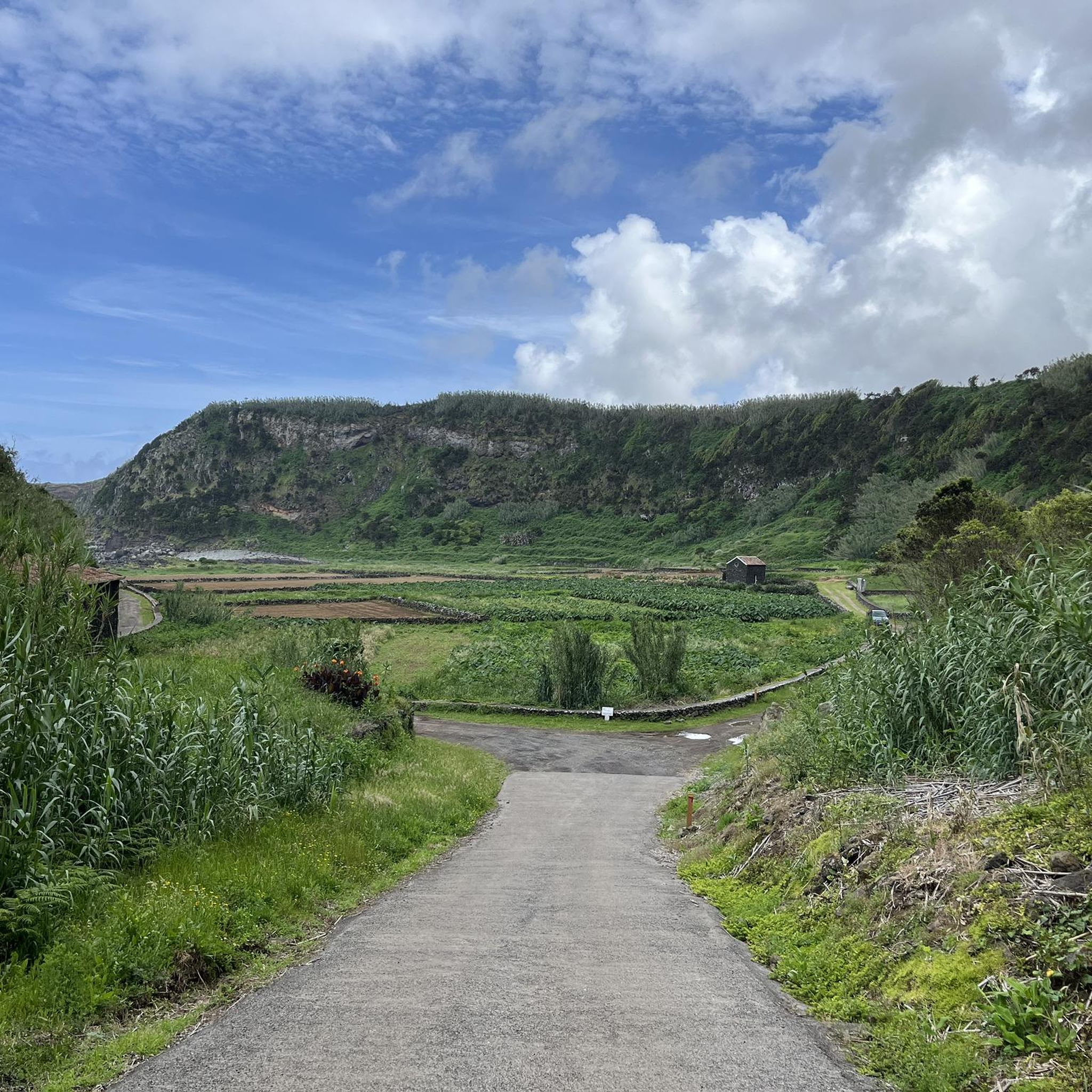
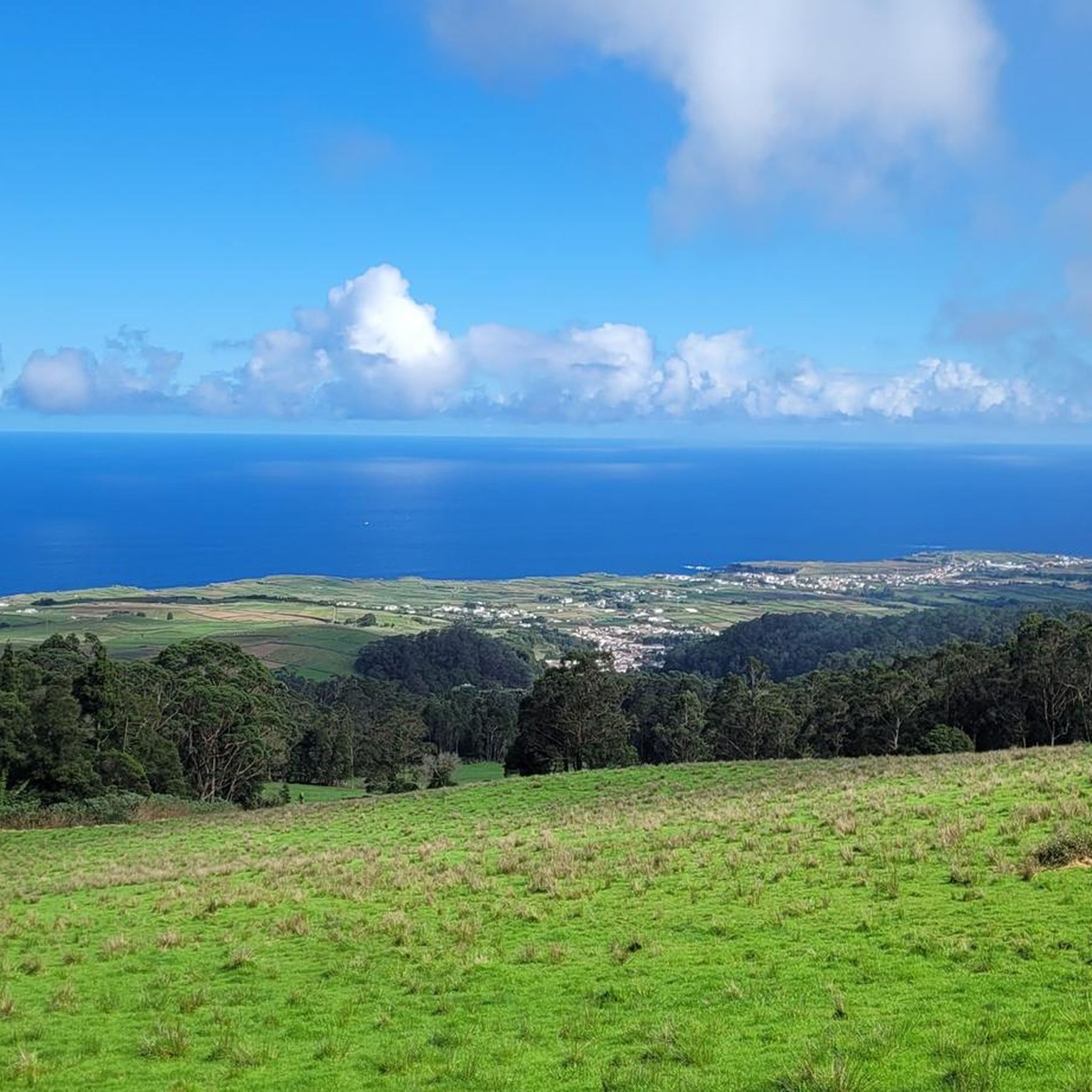
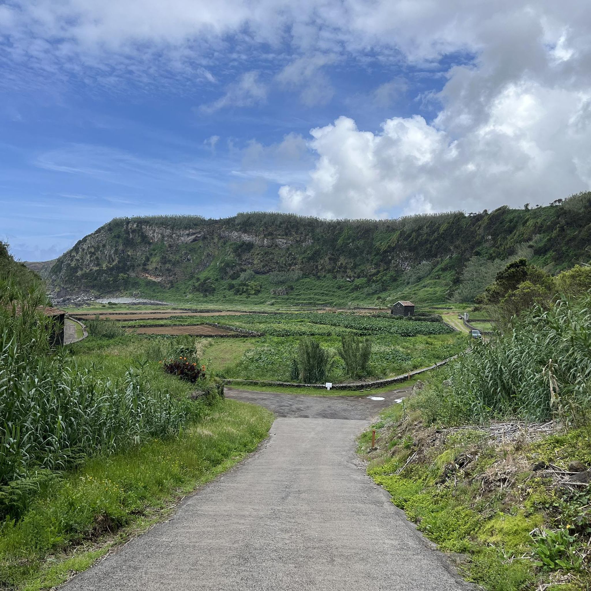
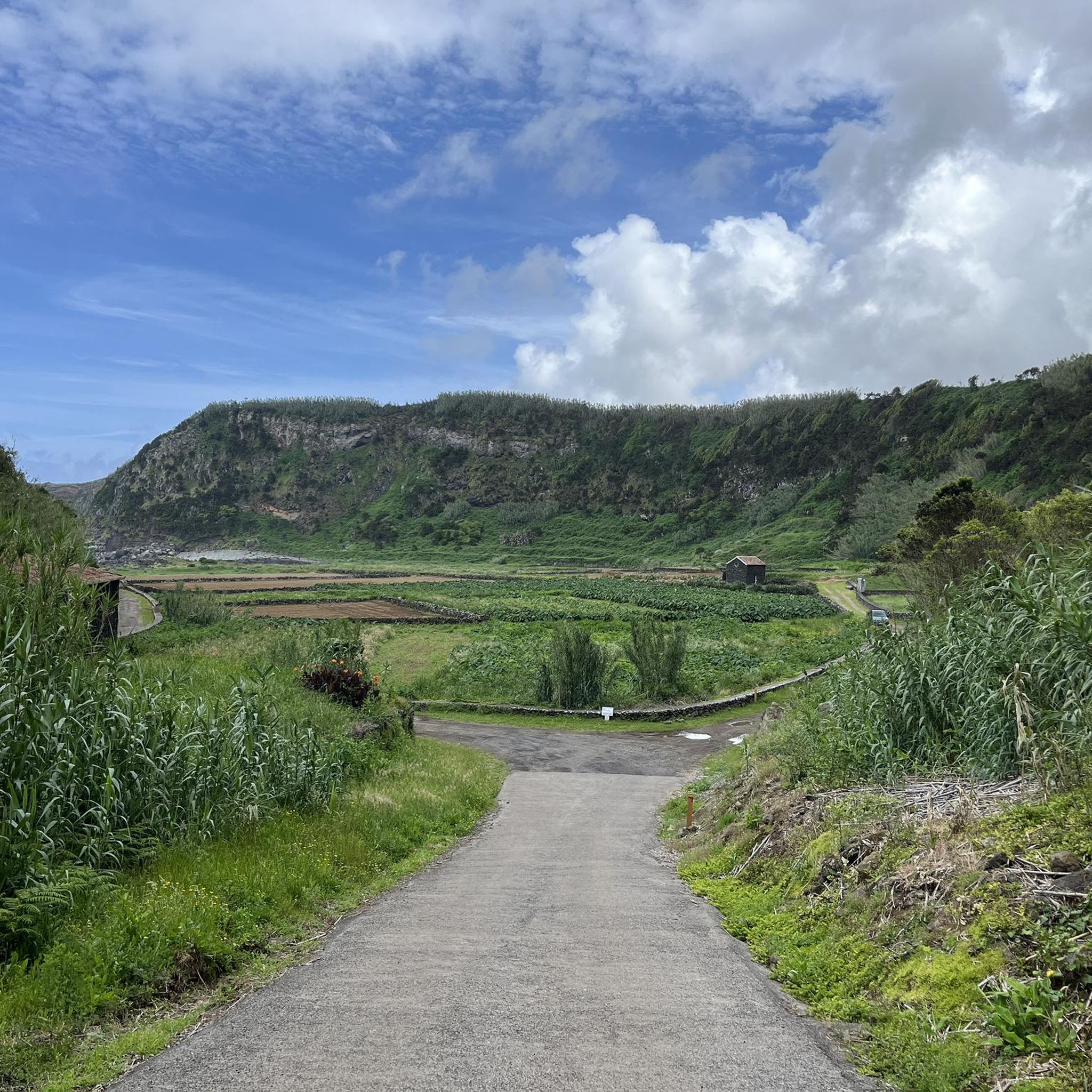
Hiking around Agualva, located on Terceira Island in the Azores, offers diverse natural features for outdoor activities. The region is characterized by dramatic coastal cliffs, unique volcanic formations, and lush forests. Hikers can explore a landscape shaped by volcanic history, featuring trachytic fossil cliffs and verdant habitats within the Terceira Nature Park.
Best hiking trails around Agualva
- The most popular hiking route is Baías da Agualva — circular route on Terceira Island (PR 2 TER), an easy 3.0 miles…
Last updated: July 7, 2026
4.6
(218)
952
hikers
7.97km
02:14
150m
160m
Moderate hike. Good fitness required. Easily-accessible paths. Suitable for all skill levels.
4.6
(46)
273
hikers
4.82km
01:31
200m
200m
Easy hike. Great for any fitness level. Easily-accessible paths. Suitable for all skill levels.

Sign up for free
4.4
(23)
97
hikers
Easy hike. Great for any fitness level. Easily-accessible paths. Suitable for all skill levels.
4.8
(35)
191
hikers
5.14km
01:34
190m
180m
Easy hike. Great for any fitness level. Easily-accessible paths. Suitable for all skill levels.
4.1
(15)
67
hikers
12.2km
03:24
240m
240m
Moderate hike. Good fitness required. Easily-accessible paths. Suitable for all skill levels.
Get access to more routes and recommendations from other explorers.
Sign up for free
Already have an account?
Our route recommendations are based on thousands of hikes, rides, and runs completed by other people on komoot.
Start today with a free account
Your next adventure awaits.
Login or Signup
Tips from the Community

As of April 2026: The cave is largely closed due to construction work and only accessible with severe restrictions. Currently (until the end of May) only between 2 PM and 5 PM.
0
0


If you catch a nice day and it is not very busy, the short hike is an impressive experience - volcanism you can touch and smell. We were almost alone there and thought it was fantastic. It shouldn't rain though
1
0

Very cool historical artifact: the original wheels of one of the ox carts that marked the trail of the same name. The entrance to the route is exposed. It is not possible to travel on a road bike; Still, it's interesting to admire.
0
0
Very cool historical artifact: the original wheels of one of the ox carts that marked the trail of the same name. The entrance to the route is exposed.
1
0
A discreet monument that represents Terceira Island. It is a basalt sculpture along the trail, immersed in nature, created by sculptor Fernando Rossado, dated 2016. There are instructional signs at the site.
1
0
An unnoticed hiker might think that it is an extinct train track. However, the Relheiras are marks - grooves - caused by the passage of ox carts over the years. An open-air monument of cultural and natural importance in the Azores.
1
0
Frequently Asked Questions
How many hiking trails are available in Agualva?
Agualva offers a selection of 10 hiking trails, catering to various preferences. Most of these, 8 in total, are considered easy, while 2 are moderate, providing options for different skill levels.
What kind of terrain can I expect on Agualva's hiking trails?
The trails in Agualva showcase a diverse landscape, from dramatic coastal cliffs and rugged volcanic formations to lush, verdant forests. You'll encounter unique geological features like trachytic fossil cliffs, evidence of the island's volcanic history, alongside rich biodiversity within the Terceira Nature Park.
Are there any circular hiking routes in Agualva?
Yes, Agualva features several circular routes. A popular option is the Baías da Agualva — circular route on Terceira Island (PR 2 TER), an easy 4.8 km trail offering stunning coastal views. Another is the Relheiras de São Brás — circular route on Terceira Island (PRC 8 TER), which takes you through forests and rural landscapes.
What natural features or landmarks can I see while hiking in Agualva?
Hikers can discover a variety of natural wonders. Along coastal trails, you'll find dramatic cliffs and secluded coves. Inland, volcanic formations and lush forests are common. Notable attractions nearby include the Sulphur Furnaces and the Lake of the Mistérios Negros. The Alagoa da Fajãzinha viewpoint along the Baías da Agualva trail offers panoramic coastal vistas.
Are Agualva's hiking trails suitable for families with children?
Many of Agualva's trails are suitable for families, as 8 out of 10 routes are rated as easy. The Baías da Agualva — circular route, for instance, is an easy 4.8 km walk that provides engaging coastal scenery without being overly strenuous.
Can I bring my dog on the hiking trails in Agualva?
While many trails in the Azores are dog-friendly, it's always advisable to check specific regulations for each route, especially within protected areas like the Terceira Nature Park. Keep dogs on a leash to protect local wildlife and flora.
What is the best time of year to go hiking in Agualva?
Agualva, like the rest of Terceira Island, benefits from a mild climate year-round. However, spring and early summer (April to June) often offer the most pleasant conditions with blooming flora and generally stable weather, ideal for enjoying both coastal and forest trails.
How can I get to the trailheads in Agualva using public transport?
Public transport options on Terceira Island can be limited, especially to more remote trailheads. While some local buses serve Agualva parish, direct routes to specific trail starting points might require planning. For the Baías da Agualva trail, it's recommended to check local bus schedules or consider a taxi if you don't have a rental car.
Is parking available at the trailheads in Agualva?
Parking availability varies by trailhead. For popular routes like the Baías da Agualva trail, there are often designated parking areas. For less frequented paths, roadside parking might be an option, but it's always best to arrive early, especially during peak season, and ensure you're not obstructing local access or traffic.
Are there any permits required for hiking in Agualva?
Generally, permits are not required for hiking on the main trails in Agualva. However, some specific protected areas or natural monuments on Terceira Island might have particular access rules or require guided visits. It's always a good idea to check with local tourism information centers for the most up-to-date regulations, especially if you plan to venture off marked paths.
What do other hikers say about their experience in Agualva?
The hiking experiences in Agualva are highly rated by the komoot community, with an average score of 4.4 stars from over 1,400 reviews. Hikers often praise the stunning coastal views, the unique volcanic landscapes, and the immersive experience of walking through lush, biodiverse forests.
Are there any easy hiking options in Agualva?
Yes, Agualva offers a good selection of easy hikes. Out of the 10 available routes, 8 are classified as easy. An example is the Baías da Agualva — circular route, which is 4.8 km long and typically takes around 1 hour 31 minutes to complete, providing accessible coastal scenery.
What are some unique geological features I might encounter?
Agualva's volcanic origins are evident throughout its landscape. You can expect to see dramatic volcanic rock formations and ancient trachytic fossil cliffs, which tell the story of the island's eruptive history. The Algar do Carvão - Furnas do Enxofre Trail is a prime example of a route that explores these fascinating geological features.
Most popular attractions around Agualva

Get inspired with the komoot mobile app


Explore more
Browse the best Hikes in other regions.
