The best cycling routes around Panóias
2.5
(2)
10
riders
4
rides
Touring cycling routes around Panóias, located in the Alentejo region of Portugal, traverse a landscape characterized by rolling hills and open vistas. The area offers diverse cycling terrain, primarily on paved surfaces, suitable for various fitness levels. The region features views of the Alentejo landscape and includes natural features such as the Mira River.
Best touring cycling routes around Panóias
- The most popular touring cycling route is Ourique Cycling Center – View of the Alentejo Landscape loop from Garvão,…
Last updated: June 26, 2026
3
riders
Hard bike ride. Very good fitness required. Mostly paved surfaces. Suitable for all skill levels.
2
riders
12.1km
00:56
110m
110m
Easy bike ride. Great for any fitness level. Mostly paved surfaces. Suitable for all skill levels.

Sign up for free
2.5
(2)
3
riders
Moderate bike ride. Good fitness required. Mostly paved surfaces. Suitable for all skill levels.
2
riders
Moderate bike ride. Good fitness required. Mostly paved surfaces. Suitable for all skill levels.
Our route recommendations are based on thousands of hikes, rides, and runs completed by other people on komoot.
Start today with a free account
Your next adventure awaits.
Login or Signup
Popular around Panóias
Tips from the Community

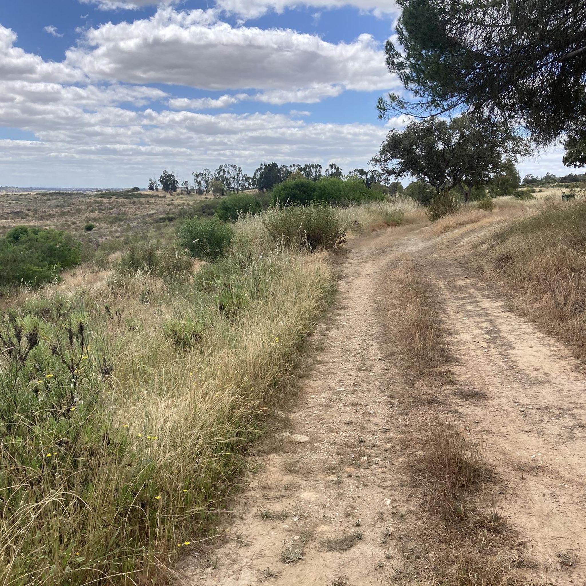
After the construction of the Santa Clara dam, the Mira River began to have little water as it passed through Santa Clara. In my youth, I often crossed the river over those cement blocks, with the water almost wetting my boots, and other times, it wouldn't allow crossing the river at that point; we had to go around using the bridge on the road. Different times. 😂🚲
0
0

Cola Castle is a significant archaeological site. Classified as a National Monument, it was an ancient residence from the Iron Age. The larger Archaeological Park of Castro da Cola also includes other interesting prehistoric monuments including megalithic and chalcolithic ones and several necropolises dating back to the Bronze and Iron Ages. The defensive structure of the castro, dating back to the Iron Age, has a polygonal plan with reinforced blocks. The entrance was strategically controlled by a tower. The rest of the defensive structure was surrounded by walls, which are still visible today on the surrounding pastures and continue to protect the ancient castle.
1
0


Coming from Almodovar hills, this waters will go to Barragem (dam) of Santa Clara-a-Velha, Sabóia, crossing Odemira and finally get the Atlantic Ocean at Vila Nova de Milfontes.
2
0
So close and so far. Like an old Soviet nuclear submarine, here you are in deep water. Beware of the arbutus! If you drink, promise not to walk on the tarmac for the next 12 hours.
2
0

Here the Mira River is just a trickle of water most of the year.
1
0
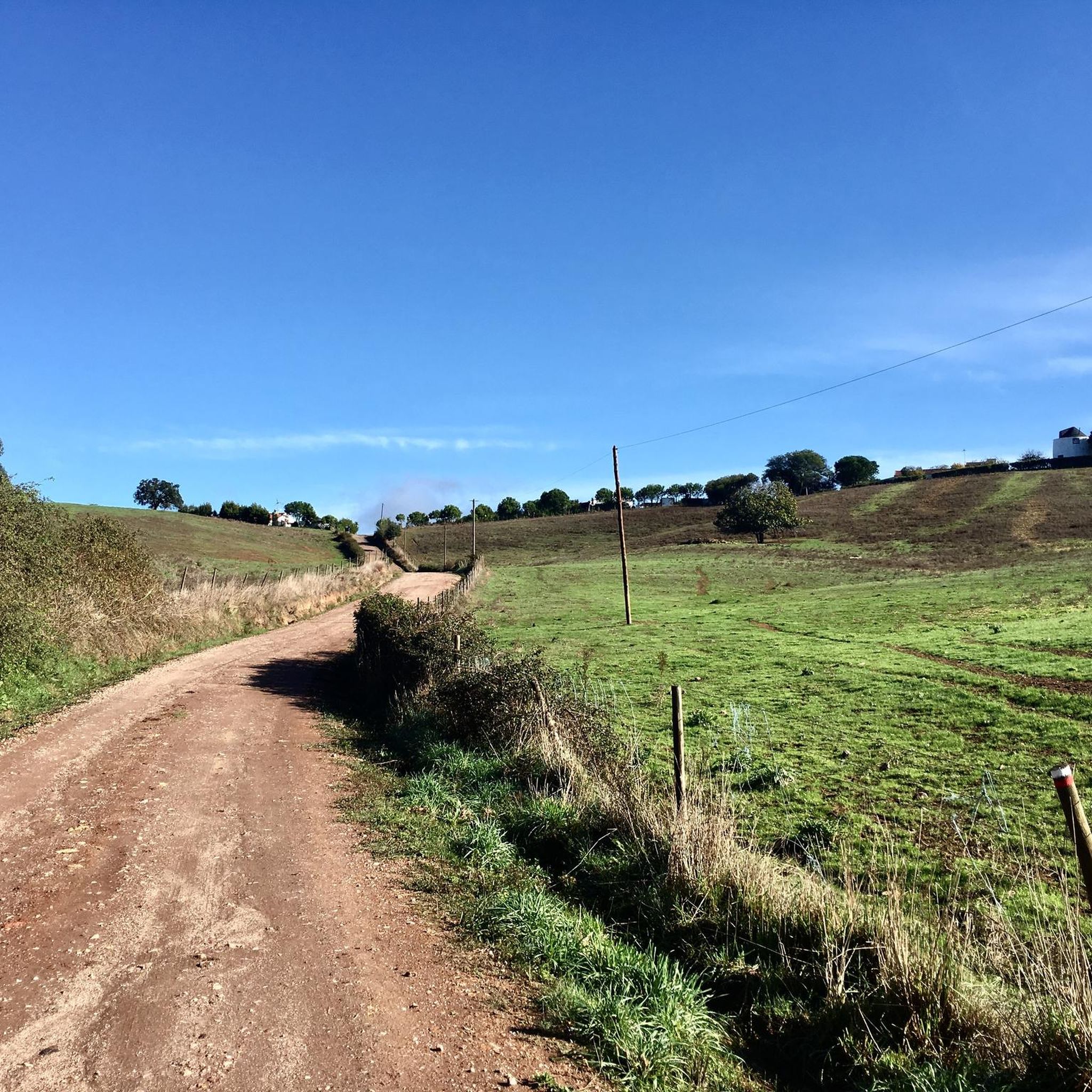
Crossing the little river Mira. Alento means force and motivation, the right word for gravel cycling.
1
0
Cycling center managed by Ourique council: some contacts to get more information about.
2
0
Frequently Asked Questions
How many touring cycling routes are available around Panóias?
There are 4 touring cycling routes detailed in this guide for the Panóias area, catering to various skill levels from easy to difficult.
What kind of terrain can I expect on touring cycling routes in Panóias?
The touring cycling routes around Panóias, located in the Alentejo region, are characterized by rolling hills and open vistas. The terrain is primarily on paved surfaces, offering smooth riding conditions.
Are there any challenging touring cycling routes for experienced riders?
Yes, for experienced riders seeking a challenge, the Ourique Cycling Center – View of the Alentejo Landscape loop from Garvão is a difficult route. It covers 72.5 km with an elevation gain of over 910 meters, offering expansive views of the Alentejo landscape.
Are there easy touring cycling routes suitable for beginners or families?
Absolutely. The Bike loop from Messejana is an easy 12.1 km path with minimal elevation, making it ideal for all fitness levels, including beginners and families.
What natural features or viewpoints can I see along the touring cycling routes?
The routes offer views of the characteristic Alentejo landscape, including rolling hills and open vistas. You can also experience natural features like the Mira River, as seen on the View of the Alentejo Landscape – Alento Ford on the Mira River loop from Monte do Saraiva route.
Are there any circular touring cycling routes in Panóias?
Yes, all the routes listed in this guide are circular loops, allowing you to start and end your ride at the same point. Examples include the Ourique Cycling Center – Spot 24 for hot drinks: OPEN 24/7 loop from Ourique and the Bike loop from Messejana.
What amenities are available at the Ourique Cycling Center?
The Ourique Cycling Center serves as a rest area and information point for cyclists. It also features a bike repair station, making it a convenient stop for touring cyclists.
Are there any places to stop for refreshments or supplies along the routes?
Yes, villages like Mimosa, located within the region, offer amenities such as restaurants, bars, and grocery stores where regional products can be purchased. The Ourique Cycling Center – Spot 24 for hot drinks: OPEN 24/7 loop from Ourique specifically highlights a stop for hot drinks.
What is the best time of year for touring cycling in Panóias?
While specific seasonal recommendations are not provided, the Alentejo region generally offers pleasant cycling conditions during spring and autumn, with milder temperatures. Summers can be quite hot, and winters can be cooler and wetter.
Are there any historical or cultural sites to explore near the cycling routes?
The region includes historical settlements like Colos, which adds to the cultural appeal. While the Panóias Sanctuary near Vila Real is a significant historical site, the cycling routes described here are in the Alentejo region, near Ourique.
Is public transport available to access the cycling routes in Panóias?
While specific public transport details for route access are not provided, the Funcheira Railway Station is located within the broader area, which could offer some connectivity for cyclists arriving by train.
Most popular routes around Panóias
Most popular attractions around Panóias

Get inspired with the komoot mobile app


Explore more
Browse the best Cycling routes in other regions.
