The best cycling routes around Santana Da Serra
4.3
(32)
108
riders
13
rides
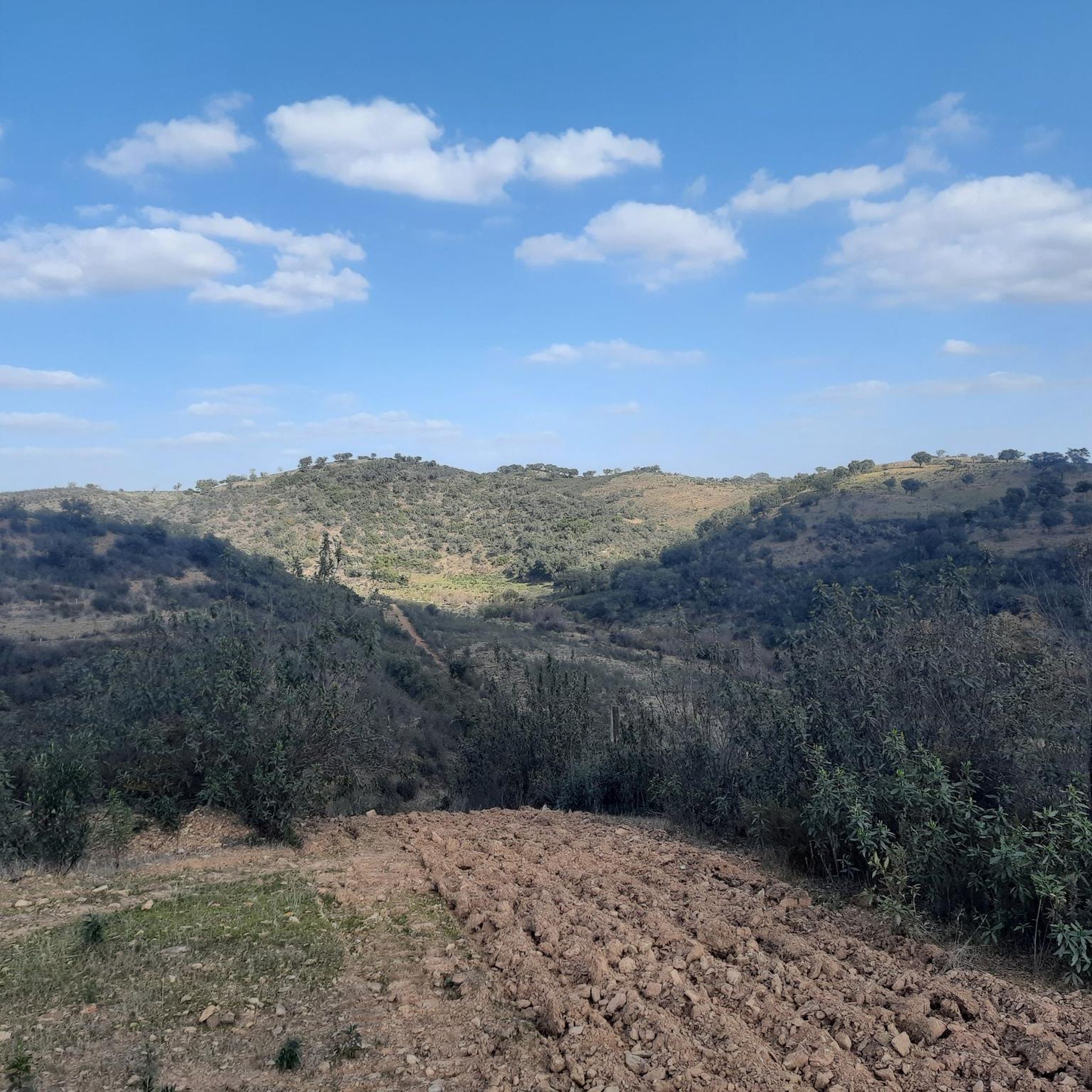
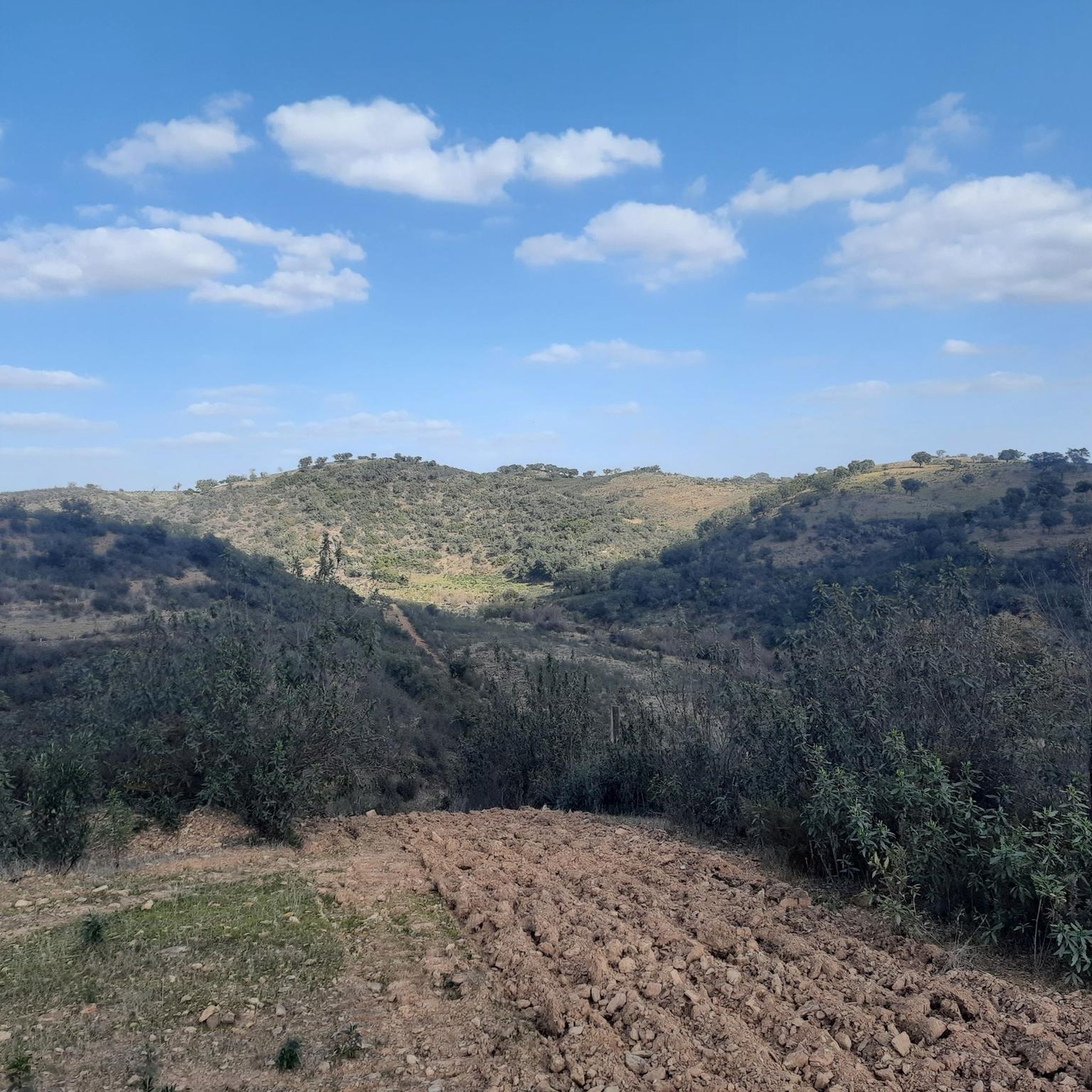
Touring cycling around Santana Da Serra, Portugal, features a very hilly terrain characterized by undulating hills, deep valleys, and winding paths. The landscape transitions between the Alentejo plains and the Algarve uplands, offering diverse scenery for cyclists. River systems like the Mira River and features such as the Santa Clara Dam contribute to the region's natural appeal. Traditional agricultural areas with olive groves and cereal fields provide picturesque backdrops for routes.
Best touring cycling routes around Santana Da Serra
- The…
Last updated: October 14, 2026
4.8
(15)
29
riders
35.1km
02:38
280m
280m
Moderate bike ride. Good fitness required. Mostly paved surfaces. Suitable for all skill levels.
4.9
(8)
26
riders
39.4km
02:42
400m
400m
Moderate bike ride. Good fitness required. Mostly paved surfaces. Suitable for all skill levels.

5.0
(2)
13
riders
74.8km
05:20
1,560m
1,560m
Hard bike ride. Very good fitness required. Mostly paved surfaces. Suitable for all skill levels.
5.0
(2)
9
riders
Moderate bike ride. Good fitness required. Mostly paved surfaces. Suitable for all skill levels.
3.3
(3)
11
riders
Moderate bike ride. Good fitness required. Mostly paved surfaces. Suitable for all skill levels.
Get access to more routes and recommendations from other explorers.
Already have an account?
Our route recommendations are based on thousands of hikes, rides, and runs completed by other people on komoot.
Start today with a free account
Your next adventure awaits.
Tips from the Community

The Church of Nossa Senhora da Cola (in Portuguese Igreja de Nossa Senhora da Cola or Ermida de Nossa Senhora da Cola) is an important pilgrimage sanctuary located in the municipality of Ourique, in the Baixo Alentejo region of Portugal.
0
0

Beautiful bike shop with an attached cafe, the water art around the shop is worth seeing.
0
0

We had really thick fog here, but it was still lovely. The funny cyclist figure, well... 8-)
0
0

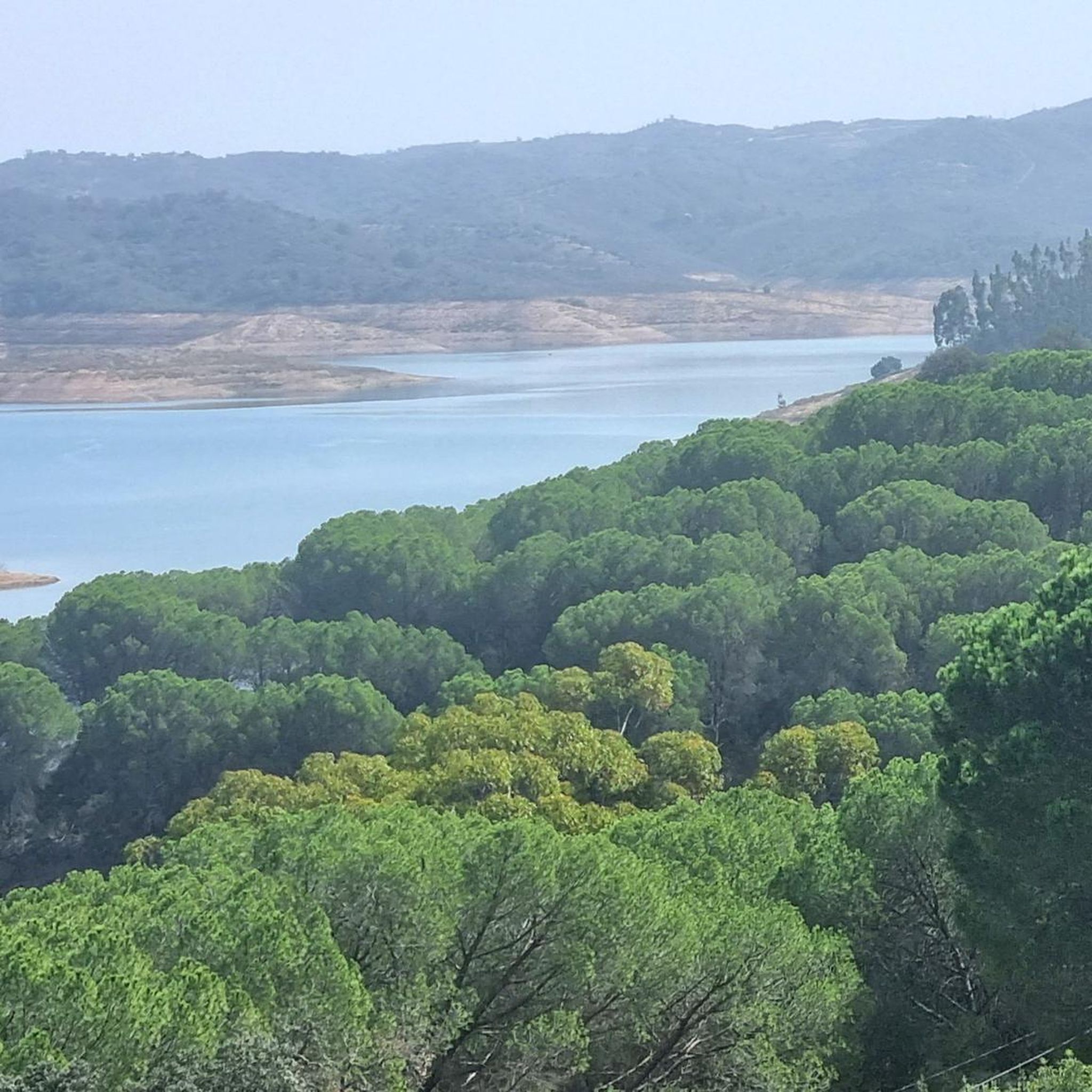
After the construction of the Santa Clara dam, the Mira River began to have little water as it passed through Santa Clara. In my youth, I often crossed the river over those cement blocks, with the water almost wetting my boots, and other times, it wouldn't allow crossing the river at that point; we had to go around using the bridge on the road. Different times. 😂🚲
0
0

At the top of the Monchique mountain range rises Foia, the highest point in the Algarve, at 902 meters altitude. Its antennas mark the summit where the sky seems closest and, on clear days, the view reaches the Atlantic. Up here, the wind blows freely and the view is simply unforgettable.
2
0

The summit is worth it - unfortunately, the biker on the pedestal is no longer there.
1
0

A beautiful place in the heart of the Algarve! Monchique, the "Village of Orange Blossoms" - Known for its healing springs and thermal baths since Roman times - Surrounded by green mountains and orange groves - Home to the highest mountain in the Algarve, Foa
3
0

The Castle of Cola is an Iron Age hillfort that was later reinforced as an Islamic fortress in Portugal’s Alentejo region, now classified as a National Monument. It forms the centre of the Castro da Cola archaeological park, which features Megalithic, Chalcolithic, Bronze, and Iron Age remains. The polygonal fortification, with thick walls, a towered entrance, and a rock-hewn cistern, was strategically positioned to guard a key route into the Algarve.
2
0
Frequently Asked Questions
How many touring cycling routes are available in Santana Da Serra?
There are 12 touring cycling routes around Santana Da Serra, offering a variety of experiences for cyclists. These routes are rated by the komoot community with an average score of 4.3 stars.
What are the typical difficulty levels for touring cycling in Santana Da Serra?
The touring cycling routes in Santana Da Serra range from moderate to difficult. You'll find 8 moderate routes and 4 difficult routes, reflecting the region's very hilly terrain with undulating hills and deep valleys.
Are there any family-friendly touring cycling routes in the area?
While the terrain around Santana Da Serra is generally hilly, making many routes moderate to difficult, families with older children or those comfortable with some elevation gain might enjoy shorter, less strenuous sections. For a moderate option, consider the Alento Ford on the Mira River – Taberna Cabrita loop from Camping Serra da Bica, which is about 14.6 miles (23.5 km) long.
Can I find circular touring cycling routes around Santana Da Serra?
Yes, many of the touring cycling routes in Santana Da Serra are loops. For example, the popular Castro da Cola – View of the Alentejo Landscape loop from Castro de Cola is a 21.6-mile (34.8 km) circular trail that offers scenic views.
What natural features or landmarks can I see while cycling in Santana Da Serra?
The region offers diverse natural beauty and cultural landmarks. You can cycle past traditional olive groves and cereal fields, experience deep valleys carved by river systems like the Mira River, and visit impressive sites such as the Santa Clara Dam. Other points of interest include the Parish Church of São Marcos da Serra and the historic Santa Clara Sabóia Railway Station.
Are there any routes that offer views of the Alentejo landscape?
Absolutely. The Castro da Cola – View of the Alentejo Landscape loop from Castro de Cola is specifically known for its panoramic vistas of the Alentejo region. Another route, View of the Alentejo Landscape – Cerro do Barroso loop from Camping Serra da Bica, also provides excellent opportunities to take in the scenic countryside.
What is the best time of year for touring cycling in Santana Da Serra?
Santana Da Serra is suitable for cycling for much of the year. Spring and autumn generally offer the most pleasant temperatures for touring cycling, avoiding the intense heat of summer. The region's diverse landscapes, from olive groves to river valleys, provide picturesque backdrops in these seasons.
Are there options for more challenging touring cycling routes?
Yes, for experienced touring cyclists seeking a challenge, Santana Da Serra offers several difficult routes. A notable option is the Monchique Town Center – Foia Summit loop from São Marcos da Serra, a 46.4-mile (74.6 km) trail that includes significant climbs towards the Foia Summit.
What kind of terrain can I expect on touring cycling routes in Santana Da Serra?
The terrain is characterized as 'very hilly,' featuring undulating hills, deep valleys, and winding paths. You'll encounter a mix of landscapes as the region transitions between the Alentejo plains and the Algarve uplands, including traditional agricultural areas with olive groves and cereal fields, and areas shaped by river systems like the Mira River.
How long do touring cycling routes typically take in Santana Da Serra?
Route durations vary depending on distance and difficulty. For example, a moderate route like the Castro da Cola – View of the Alentejo Landscape loop from Castro de Cola typically takes around 2 hours 36 minutes, while a more challenging one like the Monchique Town Center – Foia Summit loop from São Marcos da Serra can take approximately 5 hours 20 minutes.
What do other touring cyclists enjoy most about cycling in Santana Da Serra?
The komoot community highly rates the touring cycling experience in Santana Da Serra, with an average score of 4.3 stars. Cyclists often praise the varied and engaging routes, the picturesque Alentejo landscape views, and the challenging yet rewarding hilly terrain.
Most popular attractions around Santana Da Serra

Get inspired with the komoot mobile app


Explore more
Browse the best Cycling routes in other regions.
