The best walks and hikes around Lago
4.3
(259)
2,098
hikers
70
hikes
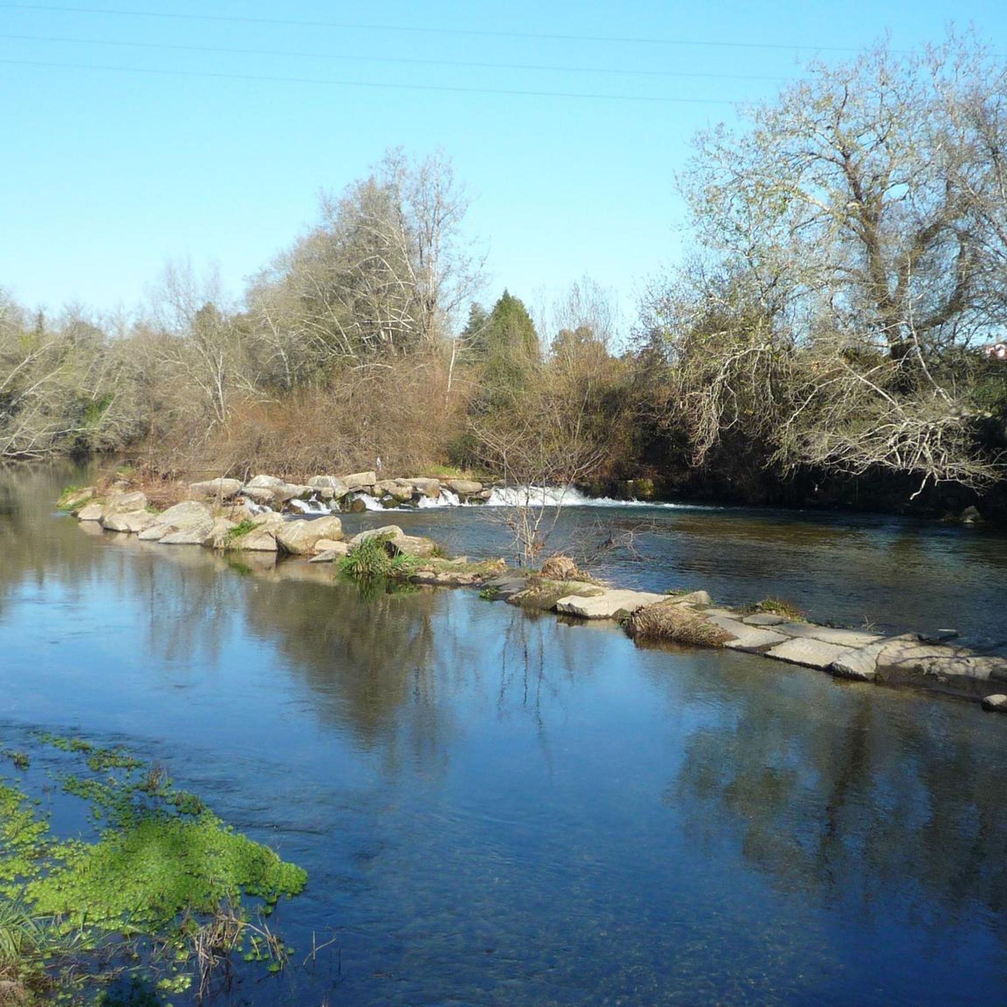
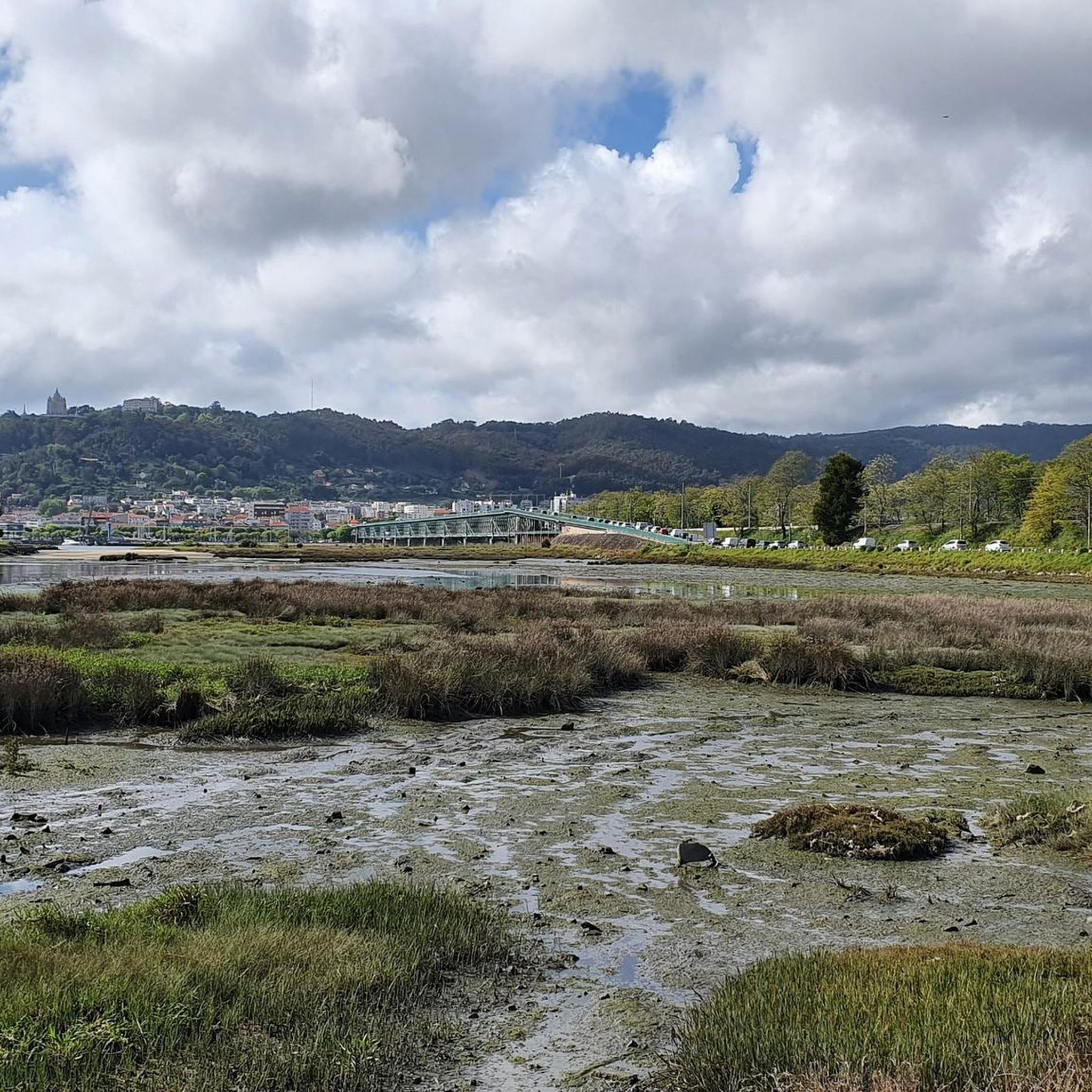
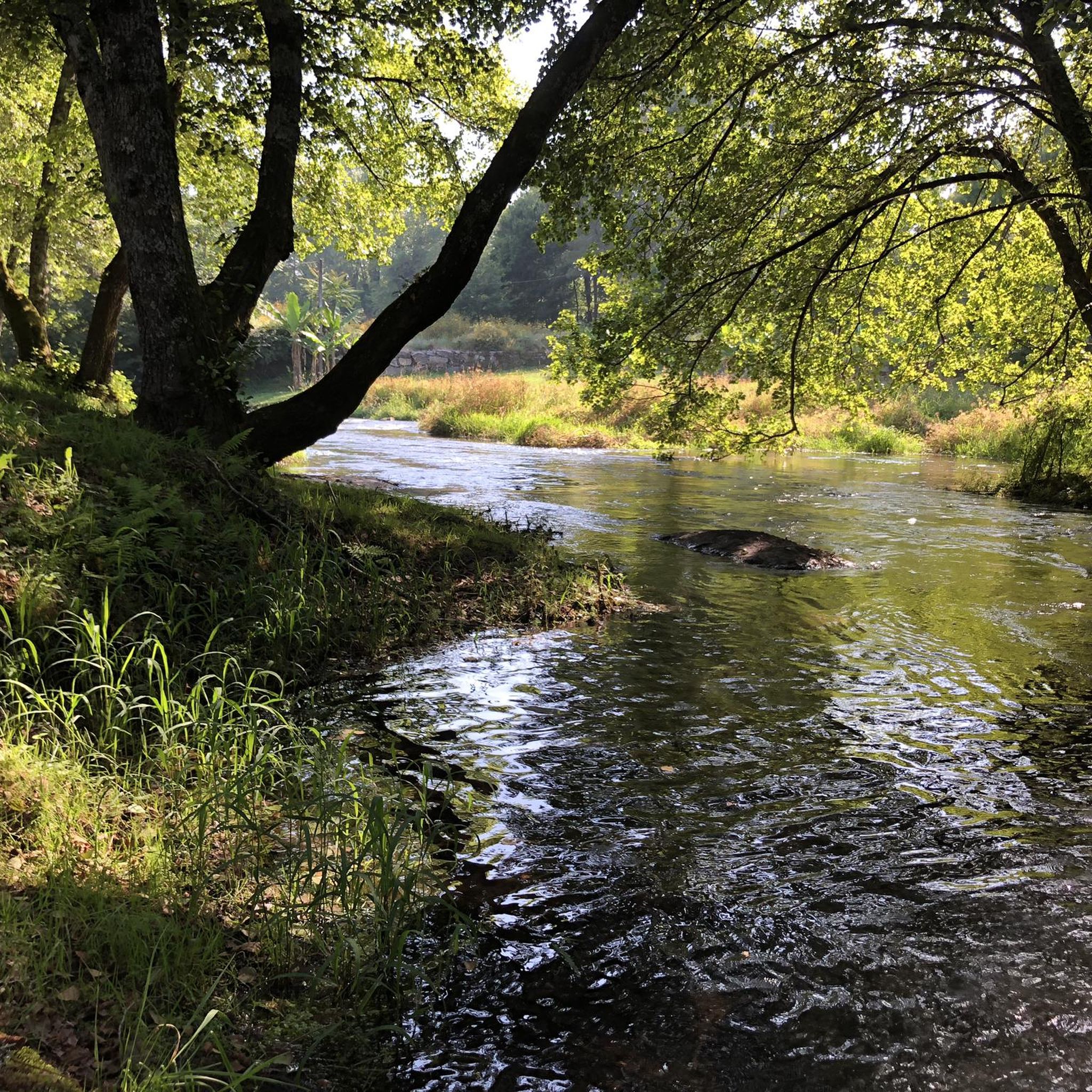
Hiking around Lago offers a diverse landscape characterized by riverside paths, rolling hills, and areas with cultural landmarks. The region features varied terrain, from gentle, low-elevation routes along waterways to more challenging ascents. This mix provides opportunities for different types of outdoor exploration.
Best hiking trails around Lago
- The most popular hiking route is Cávado Riverside loop from Soutelo, a 4.5 miles (7.3 km) trail that takes 1 hour 51 minutes to complete. This easy route follows the Cávado…
Last updated: June 24, 2026
4.3
(10)
72
hikers
7.33km
01:52
20m
20m
Easy hike. Great for any fitness level. Easily-accessible paths. Suitable for all skill levels.
4.0
(3)
57
hikers
Moderate hike. Good fitness required. Easily-accessible paths. Suitable for all skill levels.

Sign up for free
4.6
(8)
68
hikers
10.8km
02:46
40m
40m
Moderate hike. Good fitness required. Easily-accessible paths. Suitable for all skill levels.
10
hikers
7.49km
01:59
80m
80m
Easy hike. Great for any fitness level. Easily-accessible paths. Suitable for all skill levels.
8
hikers
Moderate hike. Good fitness required. Easily-accessible paths. Suitable for all skill levels.
Get access to more routes and recommendations from other explorers.
Sign up for free
Already have an account?
Our route recommendations are based on thousands of hikes, rides, and runs completed by other people on komoot.
Start today with a free account
Your next adventure awaits.
Login or Signup
Tips from the Community

excellent staircase to run up!
0
0

I recommend a walk and some physical exercise
0
0

This is where the climb Starts - it’s worth it!
0
0
Nice place, you can enjoy the whole surrounding area 👍
0
0

Once the cog railway arrives at the top station, passengers disembark. Immediately afterwards, you can see how a narrow pipe is fed into a funnel on the carriage, which is then filled with water. This increases the weight of the carriage, making it easier to pull the other carriage up at the bottom station.
0
0
Once the train arrives at the mountain station, the car is filled with water for ballast purposes for the upcoming descent.
0
0

Nearly 600 steps lead up to the church, which was built at the end of the 18th century. Alternatively, you can take the funicular.
8
0
Frequently Asked Questions
How many hiking trails are available in the Lago region?
The Lago region offers a wide variety of hiking opportunities, with over 70 routes available on komoot. These range from easy riverside strolls to more challenging ascents through hilly terrain.
Are there easy hiking trails suitable for beginners or families in Lago?
Yes, Lago has over 40 easy hiking routes perfect for beginners or families. A great option is the Cávado Riverside loop from Soutelo, which is an easy 4.5-mile (7.3 km) trail offering tranquil waterside views.
What are some challenging hiking options in Lago?
For those seeking a challenge, Lago features several difficult routes. One notable option is the Largo do Pelicano – Bom Jesus Park loop from Este (São Pedro), a demanding 12.5-mile (20.1 km) hike with significant elevation gain.
What kind of landscapes can I expect to see while hiking in Lago?
Hiking in Lago offers diverse landscapes, including serene riverside paths, rolling hills, and areas rich with cultural landmarks. You'll find a mix of natural beauty and historical sites throughout the region.
Are there any circular walks in Lago?
Yes, many of the trails in Lago are circular, allowing you to start and end at the same point. The Cávado Riverside loop from Vila de Prado is a popular moderate circular route, covering 6.0 miles (9.7 km) along the river.
What cultural attractions can I visit while hiking in Lago?
The Lago region is rich in cultural sites. You can explore landmarks such as the Sanctuary of Bom Jesus do Monte, Raio Palace, and the historic Braga Cathedral (Sé de Braga). Many routes, like the Bom Jesus do Monte Funicular loop, incorporate these points of interest.
What do other hikers say about the trails in Lago?
The trails in Lago are highly regarded by the komoot community, with an average rating of 4.4 stars from over 240 reviews. Hikers often praise the region's varied terrain, well-maintained paths, and the blend of natural beauty with cultural exploration.
Are there any hikes in Lago that offer both scenic views and places to eat?
While specific routes aren't designated for food stops, many trails pass through or near towns and villages where you can find local eateries. The Braga Cathedral loop, for instance, takes you through the city of Braga, offering numerous dining options.
What is the best time of year to go hiking in Lago?
The Lago region is generally pleasant for hiking during spring and autumn, when temperatures are mild. Summer offers longer daylight hours, while winter can provide a different, quieter experience, though some higher elevation paths might be less accessible.
Are the hiking trails in Lago well-marked?
Based on community feedback, the trails in Lago are generally well-marked, making navigation straightforward for most hikers. However, it's always recommended to download your komoot Tour offline for reliable guidance.
Can I find parking easily at trailheads in Lago?
Parking availability varies by trailhead. For routes starting near urban centers or popular attractions like Bom Jesus do Monte, designated parking areas are usually available, though they can fill up during peak times. For more remote trailheads, roadside parking might be an option.
Are there any hidden gem trails in Lago that are less crowded?
While specific 'hidden gems' are subjective, exploring some of the less-trafficked moderate or difficult routes, or those slightly further from major towns, can often lead to a more secluded experience. Komoot's route planner can help you discover trails that might be off the main tourist path.
Most popular attractions around Lago

Get inspired with the komoot mobile app


Explore more
Browse the best Hikes in other regions.
