The best running trails around Friande
3.7
(3)
76
runners
8
runs
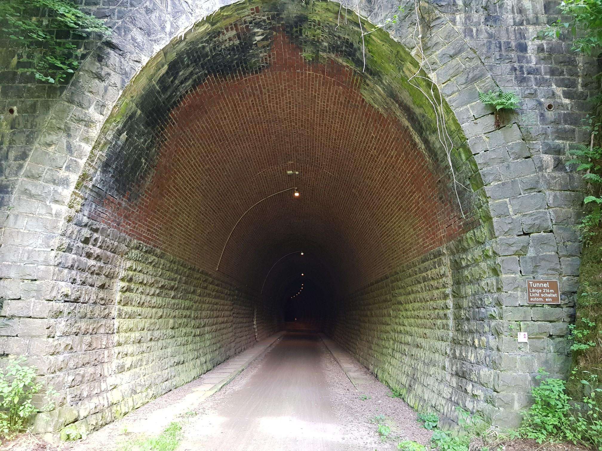
Jogging around Friande offers a variety of routes that explore the region's diverse landscape. The terrain includes paths around water bodies, through rolling hills, and along local loops, providing varied elevation changes. These routes cater to different fitness levels, from easier paths to more challenging ascents.
Best jogging routes around Friande
- The most popular jogging route is Lanhoso loop from Póvoa de Lanhoso, a 5.4 miles (8.8 km) trail that takes 1 hour 2 minutes to complete. This route…
Last updated: July 4, 2026
3.0
(1)
11
runners
9.12km
01:05
230m
230m
Moderate run. Good fitness required. Mostly paved surfaces. Suitable for all skill levels.
7
runners
10.4km
01:10
150m
150m
Moderate run. Good fitness required. Mostly paved surfaces. Suitable for all skill levels.

Sign up for free
6
runners
7.25km
00:53
300m
290m
Moderate run. Good fitness required. Mostly paved surfaces. Suitable for all skill levels.
4.0
(1)
7
runners
10.0km
01:07
230m
230m
Moderate run. Good fitness required. Mostly paved surfaces. Suitable for all skill levels.
7
runners
7.83km
01:15
470m
470m
Hard run. Very good fitness required. Mostly paved surfaces. Suitable for all skill levels.
Get access to more routes and recommendations from other explorers.
Sign up for free
Already have an account?
Our route recommendations are based on thousands of hikes, rides, and runs completed by other people on komoot.
Start today with a free account
Your next adventure awaits.
Login or Signup
Frequently Asked Questions
How many running routes are available in the Friande area?
There are currently 8 dedicated running routes around Friande listed on komoot, catering to various fitness levels. These include 1 easy, 5 moderate, and 2 difficult trails.
Are there any easy or beginner-friendly jogging routes in Friande?
Yes, Friande offers at least one easy running route suitable for beginners or those looking for a relaxed jog. While specific names for easy routes aren't highlighted, the region's diverse terrain ensures options for all levels.
What are some longer distance running trails near Friande?
For longer runs, consider the Poça da Levandeira loop from Amares, which is about 10.4 km (6.5 miles) long, or the Albufeira da Caniçada loop from Rio Caldo, covering approximately 10 km (6.2 miles).
Are there circular jogging routes available in Friande?
Many of the running paths in Friande are designed as loops, offering convenient circular routes. Examples include the Lanhoso loop from Póvoa de Lanhoso and the Alto da Cabaninha loop from Rio Caldo.
What kind of scenery can I expect on the running trails around Friande?
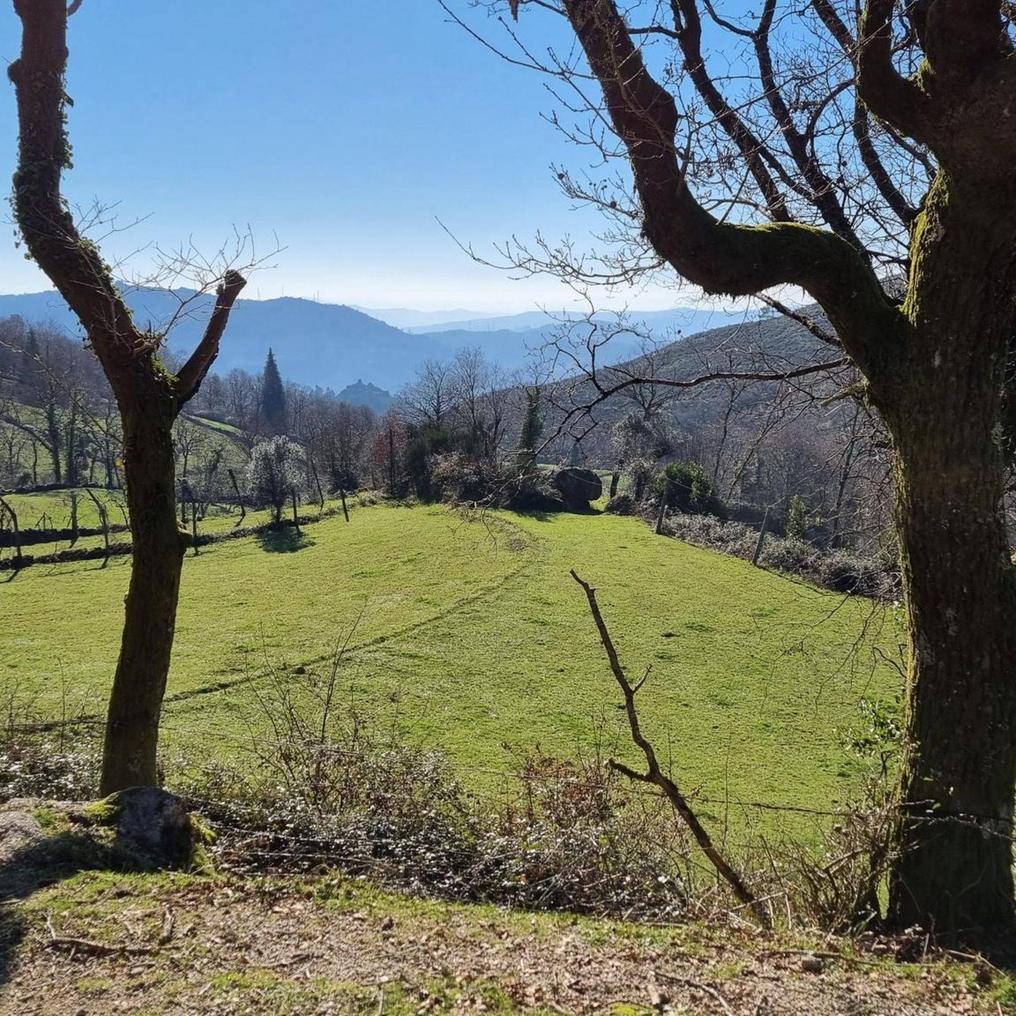
Jogging routes in Friande often feature varied landscapes, including paths around water bodies like the Albufeira da Caniçada, through rolling hills, and local countryside. You can expect a mix of natural beauty and rural charm.
What do other runners say about the trails in Friande?
The running routes in Friande are highly rated by the komoot community, with an average score of 3.7 stars from 3 reviews. Over 70 runners have explored the area, often praising the varied terrain and scenic views.
Are there any interesting landmarks or attractions to see while running near Friande?
Yes, several routes pass by notable points of interest. You might encounter the Caniçada Dam, Alqueirão Beach (Gerês beach), or the São Bento Swing Viewpoint. Some trails also cross historic structures like the Bridge over the Cávado River.
What is the best time of year for jogging in Friande?
The best time for jogging in Friande is typically during spring (April-June) and autumn (September-October) when temperatures are milder and the natural scenery is vibrant. Summers can be hot, making early morning or late evening runs preferable, while winters are generally mild but can be rainy.
Are there any challenging running routes for experienced runners?
Yes, for experienced runners seeking a challenge, Friande offers routes with significant elevation gains. The Alto da Cabaninha loop from Rio Caldo is classified as difficult, featuring over 470 meters of ascent.
What should I wear for jogging in Friande's weather conditions?
Given Friande's varied climate, it's advisable to wear moisture-wicking layers that can be adjusted. In warmer months, light, breathable clothing is essential. For cooler or potentially rainy periods, a waterproof or windproof jacket and appropriate base layers are recommended. Always check the local forecast before heading out.
Can I find less crowded running trails in Friande?
While some popular routes might see more activity, Friande's extensive network of trails means you can often find quieter paths, especially during off-peak hours or by exploring some of the less-known local loops through the countryside.
Are there any running routes that offer views of water bodies?
Absolutely. The Poça da Levandeira loop from Amares and the Albufeira da Caniçada loop from Rio Caldo are excellent choices, offering scenic views around water bodies.
Most popular routes around Friande
Most popular attractions around Friande

Get inspired with the komoot mobile app


Explore more
Browse the best Running Trails & Routes in other regions.
