The best running trails around Valdosende
4.3
(4)
362
runners
17
runs
Jogging routes around Valdosende offer access to the diverse landscapes of Northern Portugal, characterized by its proximity to the Peneda-Gerês National Park. The region features granite peaks, deep valleys, and numerous rivers carving through dense forests. This varied terrain provides a range of running experiences, from riverside paths to more challenging mountainous routes.
Best jogging routes around Valdosende
- The most popular jogging route is Trilho da Calcedónia (PR 1) — Peneda-Gerês National Park, a 4.2 miles (6.7 km) trail…
Last updated: October 7, 2026
17
runners
6.70km
01:03
390m
390m
Hard run. Very good fitness required. Mostly paved surfaces. Suitable for all skill levels.
112
runners
39.5km
04:56
1,340m
1,340m
Hard run. Very good fitness required. Sure-footedness, sturdy shoes and alpine experience required.

4.0
(1)
24
runners
10.2km
01:26
600m
600m
Hard run. Very good fitness required. Mostly paved surfaces. Suitable for all skill levels.
27
runners
11.6km
01:47
650m
650m
Hard run. Very good fitness required. Sure-footedness, sturdy shoes and alpine experience required.
15
runners
14.4km
02:14
820m
820m
Hard run. Very good fitness required. Sure-footedness, sturdy shoes and alpine experience required.
Get access to more routes and recommendations from other explorers.
Already have an account?
Our route recommendations are based on thousands of hikes, rides, and runs completed by other people on komoot.
Start today with a free account
Your next adventure awaits.
Tips from the Community

Leonte waterfall is now dry (August). Still a beautiful path to walk.
0
0

The Chalcedony Trail (PR1 TBR – Trilho da Cidade da Calcedonia) is one of the most iconic routes in Peneda-Gerês National Park, located in Covide (Braga), within the municipality of Terras de Bouro. It leads to the ruins of the City of Chalcedony, an ancient pre-Roman hill fort high in the mountains. It offers panoramic views over the Homem River valley and the Gerês mountains. The trail passes through native forests, rocky areas, and natural viewpoints.
2
0
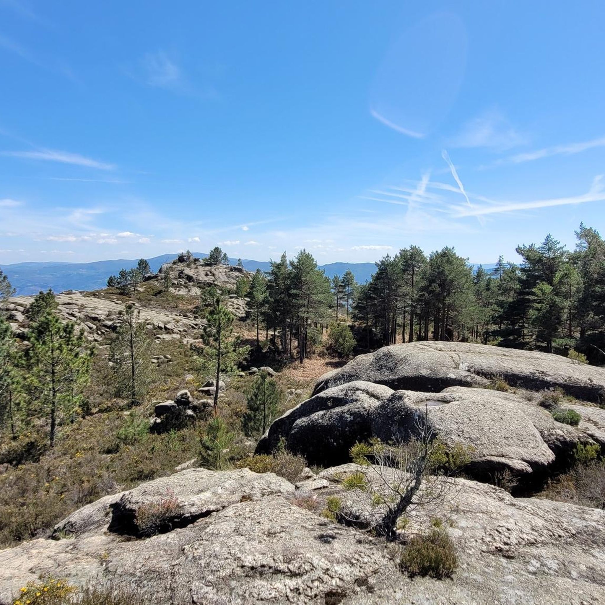
A spectacular rocky section where granite boulders rise like "sleeping giants" all around you. The trail ascends towards the peak of Curvaceira, at 919m, and offers panoramic views of the deep Covide Valley.
2
0

The Calcedonia Crack is one of those passages that seems to have come straight out of an old fairy tale: a monumental crack between two granite giants. For those who like a challenge, the route involves climbing and jumping between huge blocks fitted together at the base. Going up is easier than going down: there is more support, more traction, and less hesitation. There is no need to cross it (the trail elegantly skirts the crack) but, for the more adventurous, facing this crack is almost a ritual: a mix of adrenaline, vertigo and raw landscape that leaves its mark on those who pass by.
1
1
As you climb, the granite blocks grow around you like sleeping giants. To the south, the Curvaceira rises up at 919 metres. To the north, the Covide valley stretches out below, green and deep. Here, the barrosãs roam freely among the rocks, but those who run know: this is the hard part. Tapered trails, serious ramps and rock that sometimes begs for a handhold on the ground. This is the mountain in its purest form, above 800 metres. Raw, beautiful and unforgettable.
1
1

The Leonte Waterfall appears when the waters of the Taleira stream fall from a granite cliff, plunging 19 metres into the bed of the Gerês River. However, in drier summers, nature imposes its own rhythm and the flow can disappear, transforming the waterfall into a temporary silence.
4
1
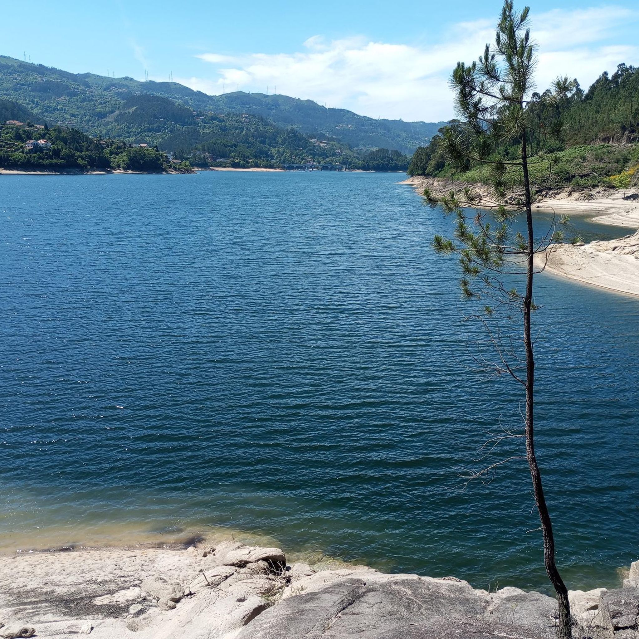
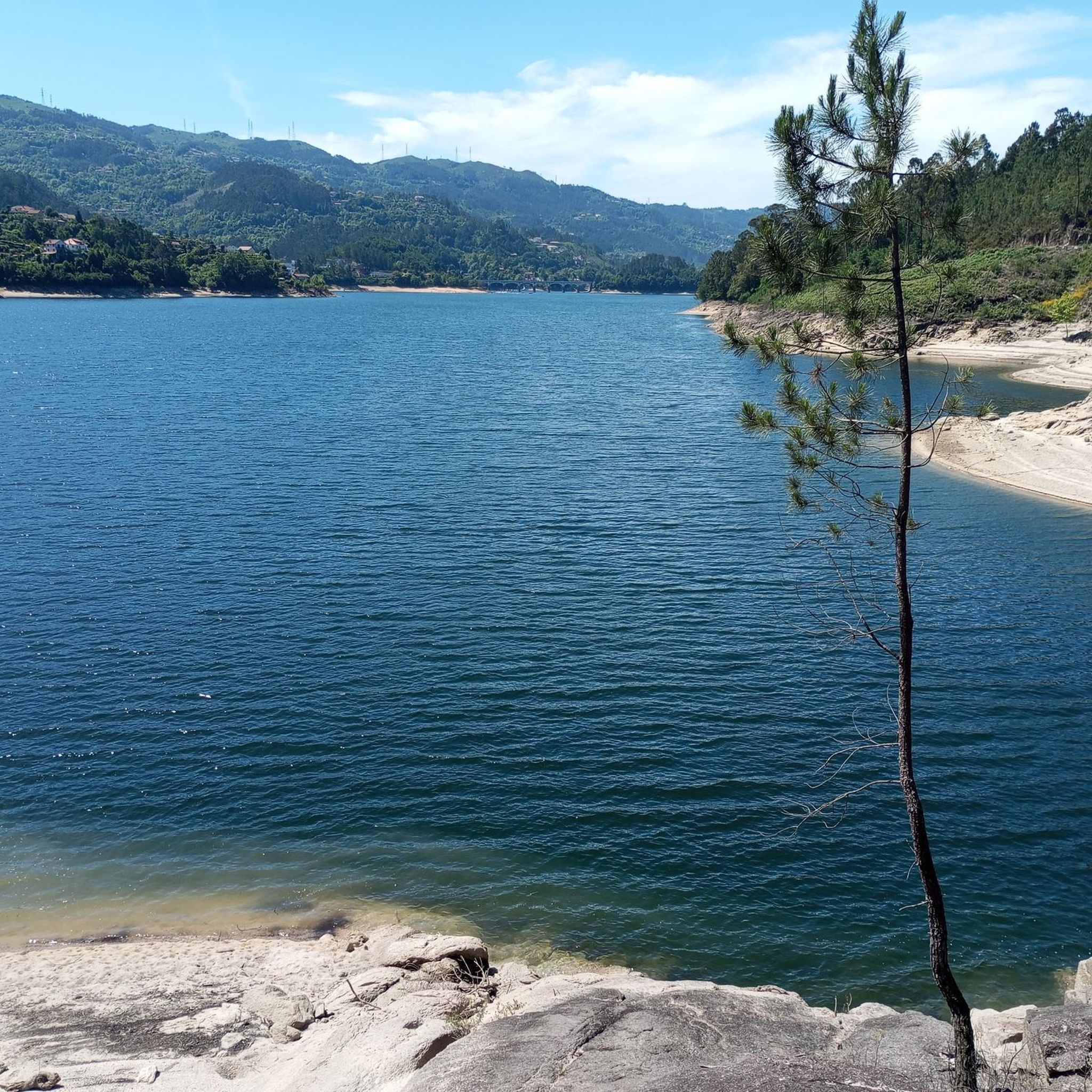
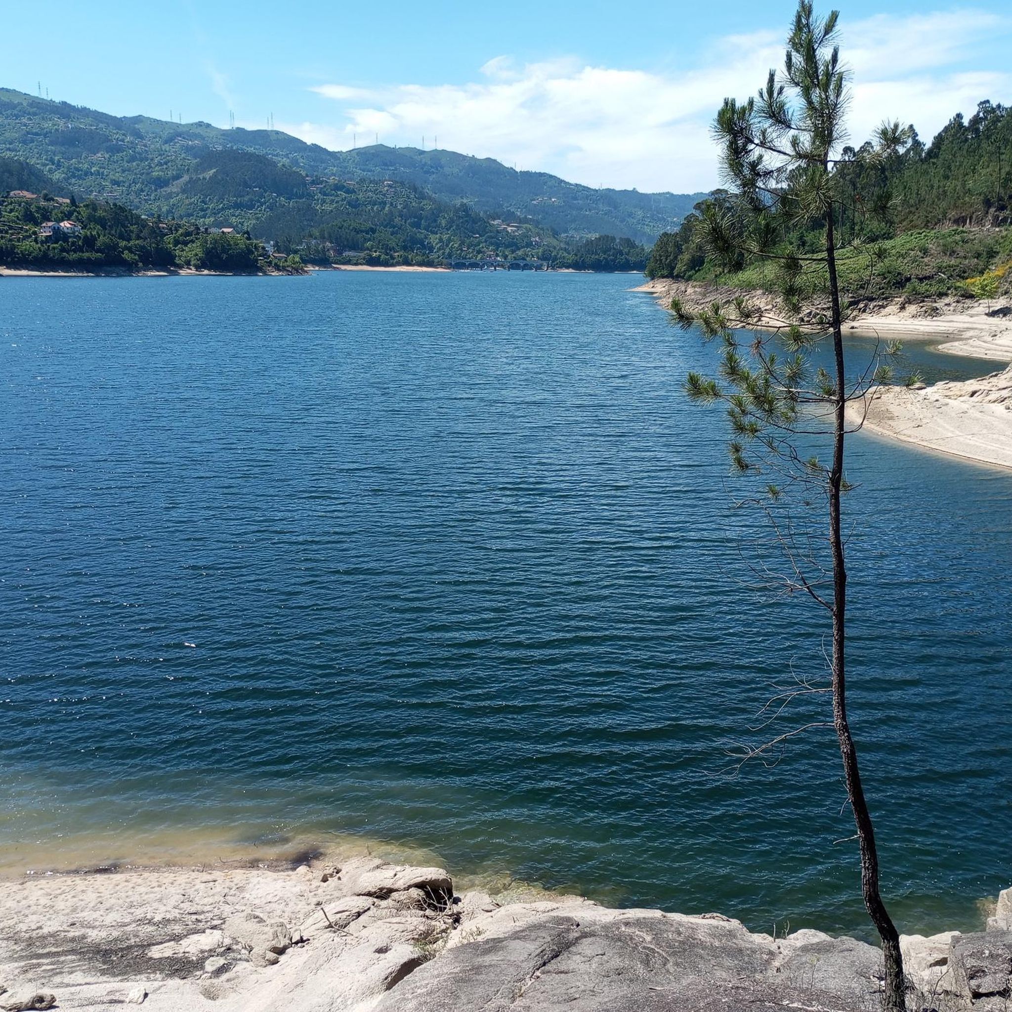
From the top of this viewpoint, the view takes in breathtaking landscapes. To the south, the Gerês valley stretches out, with the Caniçada reservoir framing the horizon. A little to the north, lies the source of the Gerês River, which, over the centuries, followed the course of the Gerês/Lovios fault, carving out the straight and imposing valley that now lies before you.
2
0
Frequently Asked Questions
How many running routes are available around Valdosende?
There are over 20 dedicated jogging routes around Valdosende listed on komoot, offering a wide range of options for runners. These routes explore the diverse landscapes of the region, including areas within the Peneda-Gerês National Park.
Are there easy or flat running trails in Valdosende?
While Valdosende's terrain is characterized by granite peaks and deep valleys, making many routes challenging, there are 5 moderate routes available. However, there are no routes specifically classified as 'easy' in the immediate vicinity, suggesting most trails involve some elevation gain. Runners seeking flatter paths might need to look for riverside sections or explore specific areas within the Peneda-Gerês National Park that are known for gentler gradients.
What kind of terrain can I expect on jogging routes near Valdosende?
Jogging routes around Valdosende offer a varied terrain, from challenging paths through granite peaks and deep valleys to serene riverside trails carving through dense forests. The proximity to the Peneda-Gerês National Park means you can expect a wild and expansive setting with diverse natural features.
What do other runners say about the jogging routes in Valdosende?
The running routes in Valdosende are highly rated by the komoot community, with an average score of 4.0 stars from 6 reviews. Over 300 runners have used komoot to explore the varied terrain, often praising the scenic beauty and the challenging nature of the trails.
Are there any scenic viewpoints or natural landmarks along the running routes?
Yes, the region around Valdosende is rich in natural beauty. You can find stunning viewpoints like the View from Miradouro da Pedra Bela overlooking the Rio Gerês reservoir. The area is also home to impressive waterfalls such as Fecha de Barjas Waterfall (Tahiti) and the View of Cascata do Arado, which can be rewarding sights during your run.
Can I find running routes that pass by lakes or rivers?
Absolutely. The region boasts rivers carving their way through forests, creating serene and shaded routes ideal for jogging. You can also find routes near significant water bodies like the Albufeira da Caniçada and the Caniçada Dam, offering picturesque lakeside running experiences.
Are there any circular running routes available?
Yes, many routes in the Valdosende area are designed as loops. For instance, the challenging View of Gerês village loop from Gerês is a 12.7-mile (20.5 km) trail that takes you through scenic areas around Gerês village. Another option is the Miradouro Velho da Pedra Bela – Abrigo loop from Gerês, a 10.4-mile (16.7 km) route.
Are there any running routes suitable for families?
While the guide primarily features moderate to difficult routes, the Peneda-Gerês National Park, which is easily accessible from Valdosende, offers a variety of trails. Families looking for gentler options might find suitable paths along the riverside or within less strenuous sections of the park, though specific 'easy' family-friendly jogging routes are not explicitly highlighted in the current data.
What is a popular challenging running route in the area?
A popular and challenging route is Trilho da Calcedónia (PR 1) — Peneda-Gerês National Park. This 4.2-mile (6.7 km) trail is classified as difficult and offers a rewarding run within the national park's varied environment, taking about 1 hour and 3 minutes to complete.
Are there any historical sites or cultural attractions near the running trails?
While the running routes themselves focus on natural landscapes, the broader region of Valdosende and Northern Portugal offers cultural and historical sites. These include the Church São Bento da Porta Aberta, Bom Jesus do Monte, and the Sanctuary of Our Lady of Sameiro. Combining your run with a visit to these sites can enrich your active holiday, though they may not be directly on the jogging paths.
What is the best time of year to go jogging in Valdosende?
The region's natural beauty can be enjoyed year-round. However, for comfortable jogging, spring and autumn generally offer milder temperatures and pleasant conditions. Summers can be warm, especially in the valleys, while winters might bring cooler, wetter weather, particularly in higher elevations of the Peneda-Gerês National Park.
Is there public transport access to the trailheads?
Information on specific public transport access to individual trailheads is not detailed in the guide. However, Valdosende is located within the municipality of Terras de Bouro, and local transport options might connect to key villages or access points of the Peneda-Gerês National Park. It's advisable to check local bus schedules or consider driving for direct access to many trailheads.
Where can I find parking near the running trails?
Specific parking locations for each trailhead are not provided in the guide. However, for routes starting from villages like Gerês or Campo do Gerês, you can typically find parking facilities. When planning your run, it's recommended to check maps for designated parking areas near your chosen starting point, especially when venturing into the Peneda-Gerês National Park.
Most popular attractions around Valdosende

Get inspired with the komoot mobile app


Explore more
Browse the best Running Trails & Routes in other regions.
