The 20 Most Amazing Peaks around Dietzhölztal
Best mountain peaks around Dietzhölztal are situated within the Lahn-Dill-Kreis district of Hesse, Germany. This region provides access to several elevated viewpoints and prominent summits, primarily known for scenic hiking trails and panoramic vistas. The area is characterized by its forest landscapes and forms part of the Rothaargebirge and Lahn-Dill-Bergland regions. These locations offer diverse outdoor experiences for visitors.
Best mountain peaks around Dietzhölztal
- The most popular mountain peaks is Tiefenrother Höhe viewpoint, a viewpoint that offers panoramic views…
Last updated: July 7, 2026
Tiefenrother Höhe viewpoint
Highlight • Viewpoint
Translated by Google •
Tip by

Highest Point in the Lahn-Dill District
Highlight • Summit
The highest point is a little further off the beaten track. The sign was brought forward some time ago.
Translated by Google •
Tip by
Sign up now to discover places like this
Get recommendations on the best single tracks, peaks, & plenty of other exciting outdoor places.
Sign up for free
Kalteiche Summit (580 m)
Highlight • Summit
From here beautiful trails lead downhill again.
Translated by Google •
Tip by
Dietzhölztal Shelter
Highlight • Mountain Hut
Translated by Google •
Tip by

Highest point in southern Wittgenstein (694.1 m)
Highlight • Summit
Translated by Google •
Tip by

Sign up for free to discover even more peaks around Dietzhölztal.
Sign up for free
Already have an account?
Start today with a free account
Your next adventure awaits.
Login or Signup

Tips from the Community

Coming from Wilnsdorf it's a good incline - from there you can continue hiking to the Rothaarsteig. Of course also inhabited by the Celts and to be mentioned in connection with the Old Castle.
4
0

The highest elevation in southern Wittgenstein. Unfortunately we were there in the fog and I can't say anything about the view. Otherwise you can plan the compass in beautiful hiking tours.
6
0

A resident of Wilgersdorf, the mountain Gustav, it is said, has made the cold oak 3 meters higher through a pile of stones.
4
0

580 m cold oak, the highest 🗻 municipality of Wilnsdorf
6
0

From here you can make a short run straight to the Ilsetal Trail.
6
0

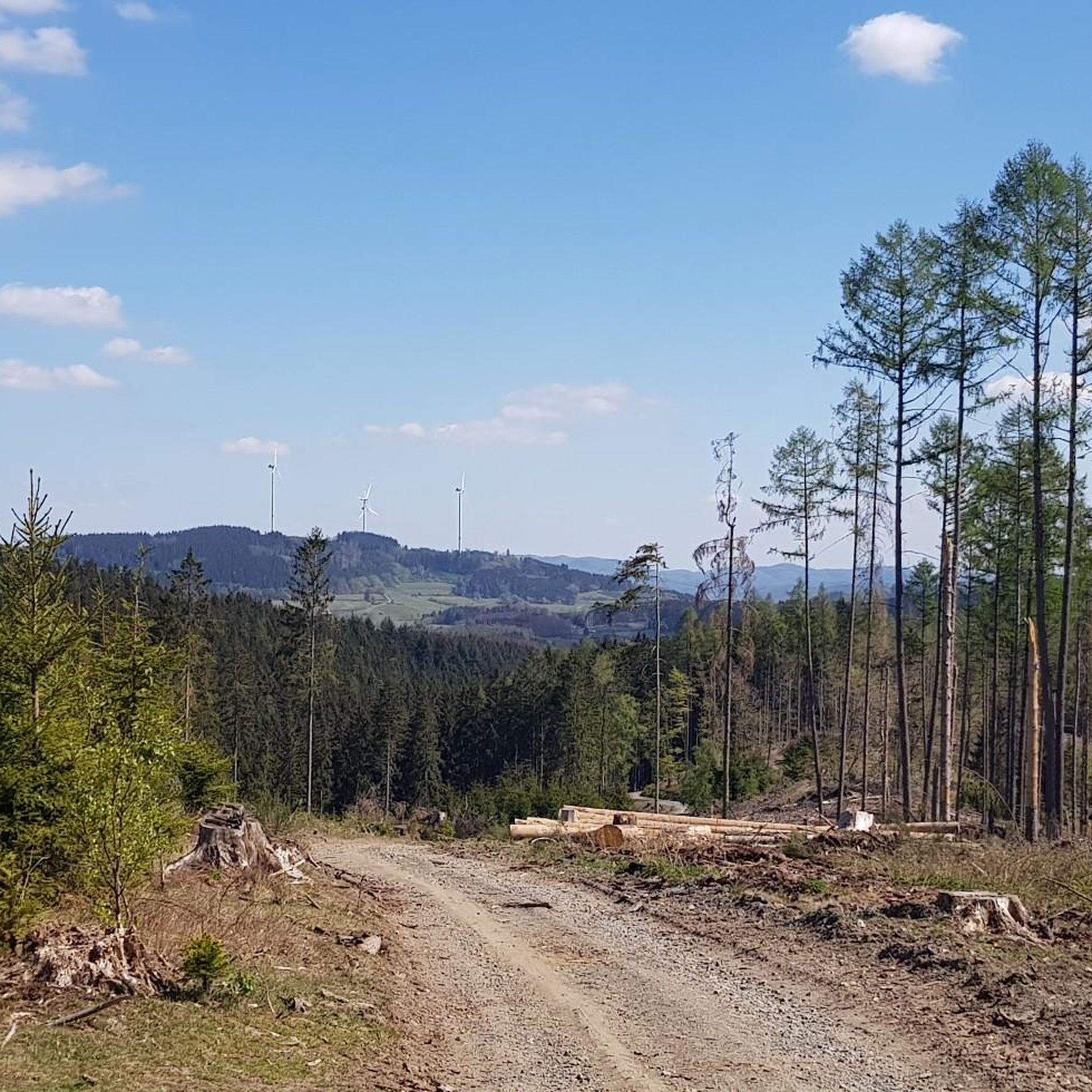
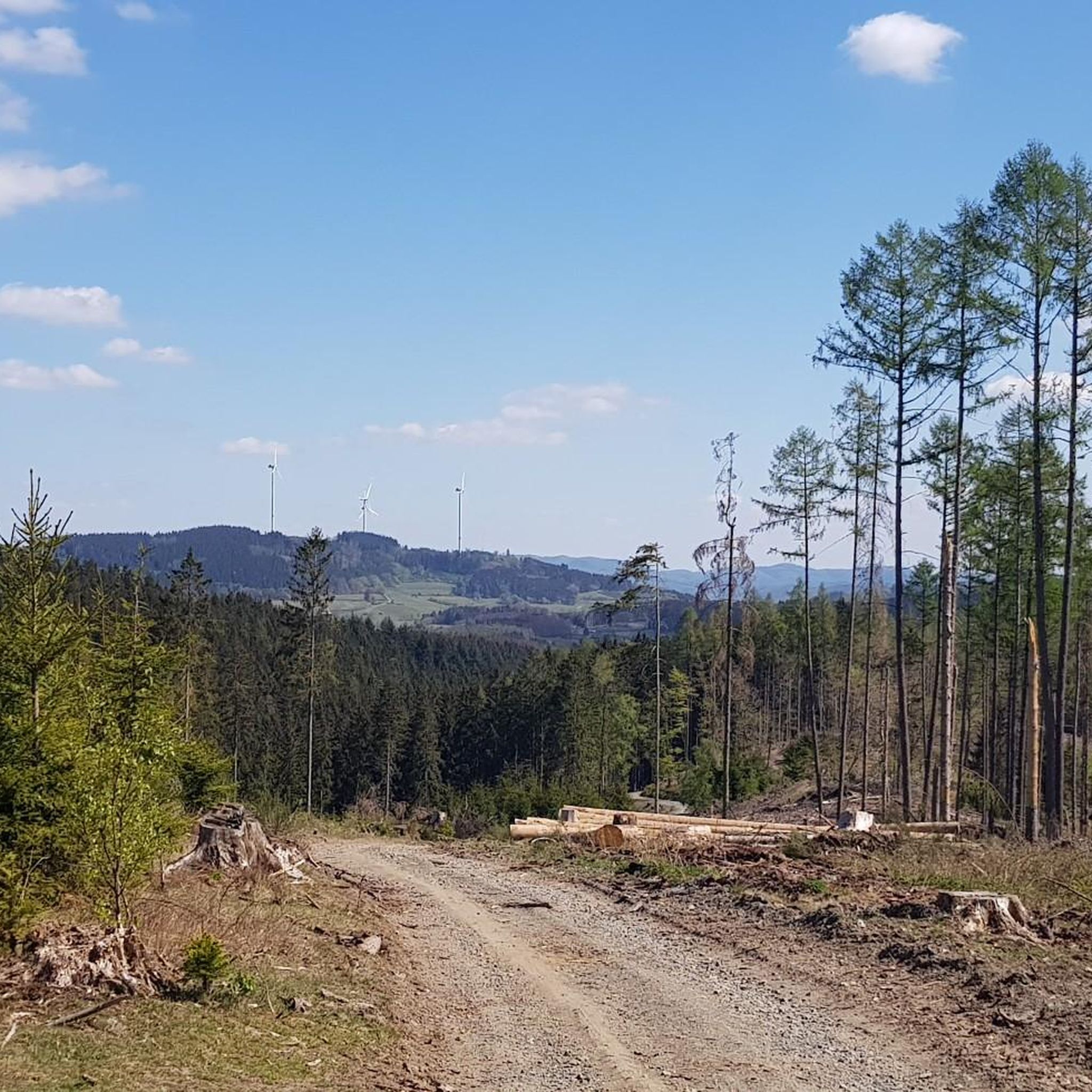
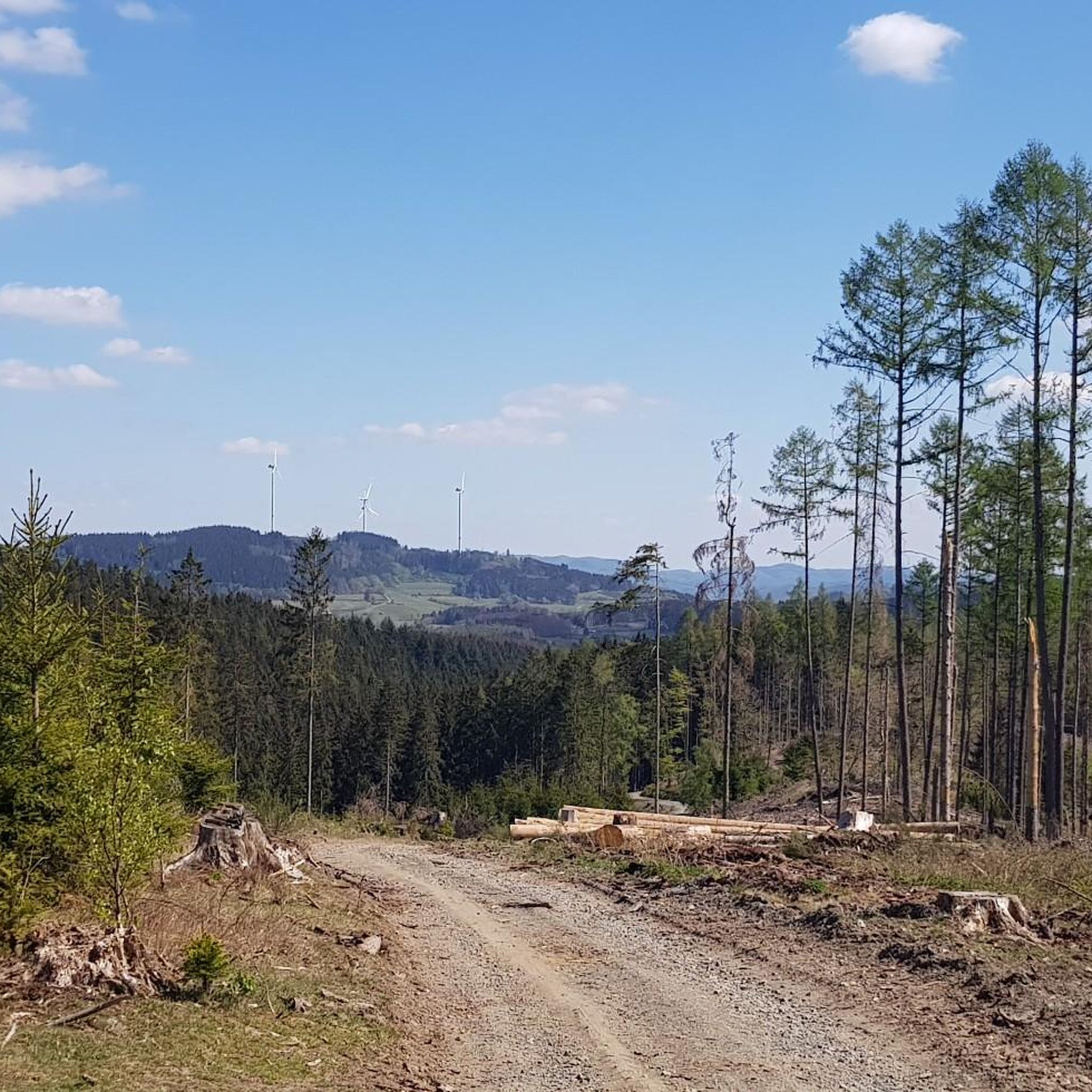
The summit is somewhat disappointing because it can hardly be recognized as such. Is it really good to set up wind turbines right here?
7
1

Nice place where you don't stay long when it's windy. You can feel the wind extremely.
6
0
It is not for nothing that this great viewing platform was created here. It's worth it!
17
0
Frequently Asked Questions
Which mountain peaks around Dietzhölztal offer the best panoramic views?
For breathtaking panoramic views, the Tiefenrother Höhe viewpoint is highly recommended. It features the "Nase im Wind" viewing platform, providing expansive vistas over the Siegerland region. It's particularly beautiful for sunsets due to its northwest orientation.
Are there any family-friendly mountain peaks or viewpoints in the Dietzhölztal area?
Yes, the Tiefenrother Höhe viewpoint is considered family-friendly, offering well-maintained paths suitable for all ages. The Schlossberg in Dietzhölztal also provides accessible hiking routes for various skill levels, making it a good option for families.
What is the highest point in the Lahn-Dill district, and is it accessible for hikers?
The Highest Point in the Lahn-Dill District, at 673.1 meters, is located on the southern slope of the Jagdberg. While it's an inconspicuous spot with a marker, it is integrated into the Rothaarsteig long-distance hiking trail, making it easily accessible for those seeking to reach the geographical high point of the region.
Where can I find challenging mountain routes for experienced hikers near Dietzhölztal?
Experienced hikers looking for more challenging and longer tours should explore the area around the Kompass mountain (694.1 m). Although its summit is just outside Dietzhölztal, its southern flanks extend into the Lahn-Dill-Kreis, offering robust outdoor experiences within the dense forest landscapes of the Rothaargebirge.
Are there mountain biking opportunities around Dietzhölztal?
Yes, the Kalteiche Summit (580 m) is a popular destination for mountain bikers, known for its beautiful downhill trails. It connects to the Rothaarsteig, which offers a larger network for diverse cycling routes.
What kind of natural features can I expect to see when hiking these peaks?
The peaks around Dietzhölztal are characterized by extensive forest landscapes, particularly within the Rothaargebirge and Lahn-Dill-Bergland regions. You'll encounter dense forests, scenic trails, and various viewpoints offering glimpses of the surrounding Siegerland region.
Are there any historical sites or points of interest near the mountain peaks?
Near the Tiefenrother Höhe viewpoint, you can find the historic Rudersdorfer Tunnel, a railway tunnel built in 1915 that runs beneath the viewpoint. The Schlossberg in Dietzhölztal, whose name means 'Castle Mountain,' often implies historical significance, such as a former fortification, though specific details are not widely available.
What do visitors enjoy most about the mountain peaks around Dietzhölztal?
Visitors frequently praise the fantastic panoramic views, especially from the Tiefenrother Höhe viewpoint. The sense of accomplishment from reaching the Highest Point in the Lahn-Dill District and the well-maintained, scenic sections of the Rothaarsteig are also highly appreciated. Many enjoy the opportunities for relaxation at spots like the "Waldsofas" and the peaceful forest environments.
Are there any shelters or rest stops available on the trails?
Yes, the Dietzhölztal Shelter, located near the Jagdberg, serves as an excellent rest stop on the Rothaarsteig. It offers a refuge and benches, making it a good place to pause and linger during your hike.
What are some popular hiking routes near the Dietzhölztal peaks?
The region offers a variety of hiking routes. For easy hikes, consider options like the "Ski hut LBC Banfetal – Sohl Village and Ski Hut loop from Sohl" or the "Kütersrüt Fountain – Charcoal burner's hut, Ewersbach loop from Ewersbach." You can find more details on these and other routes in the Easy hikes around Dietzhölztal guide.
Can I find running trails near the mountain peaks in Dietzhölztal?
Yes, there are several running trails available. Moderate options include the "View of Steinbrücken – Hammerweiher loop from Ewersbach" and the "Firefighting pond loop from Ewersbach." Explore more running routes in the Running Trails around Dietzhölztal guide.
Are there road cycling routes that incorporate the scenic mountain areas?
Absolutely. You can find road cycling routes such as the "Lahn Spring (Lahn Source) – Hainchen–Lahnquelle Climb loop from Dietzhölztal" which offers a moderate challenge over 73 km. Other options are available in the Road Cycling Routes around Dietzhölztal guide.
Most popular routes around Dietzhölztal
Most popular attractions around Dietzhölztal

Get inspired with the komoot mobile app


Explore more
See even more amazing summits around Dietzhölztal with these guides:
