The best walks and hikes around Gaushorn
4.6
(1445)
4,728
hikers
453
hikes
Hiking around Gaushorn offers a network of trails characterized by gentle gradients and varied natural settings. The region features low-lying terrain, with routes often leading through forested areas and open landscapes. Hikers can expect paths that provide views of local nature and connect to nearby villages. The trails are generally accessible, with minimal elevation changes.
Best hiking trails around Gaushorn
- The most popular hiking route is Bench With Forest View loop from Welmbüttel, a 2.7 miles (4.4 km) trail…
Last updated: July 1, 2026
5.0
(10)
34
hikers
4.39km
01:09
40m
40m
Easy hike. Great for any fitness level. Easily-accessible paths. Suitable for all skill levels.
4.5
(6)
15
hikers
Moderate hike. Good fitness required. Easily-accessible paths. Suitable for all skill levels.

Sign up for free
5.0
(2)
14
hikers
3.63km
00:58
40m
40m
Easy hike. Great for any fitness level. Easily-accessible paths. Suitable for all skill levels.
5.0
(2)
7
hikers
13.2km
03:24
60m
60m
Moderate hike. Good fitness required. Easily-accessible paths. Suitable for all skill levels.
3.0
(1)
13
hikers
7.23km
01:55
70m
70m
Easy hike. Great for any fitness level. Easily-accessible paths. Suitable for all skill levels.
Get access to more routes and recommendations from other explorers.
Sign up for free
Already have an account?
Our route recommendations are based on thousands of hikes, rides, and runs completed by other people on komoot.
Start today with a free account
Your next adventure awaits.
Login or Signup
Tips from the Community


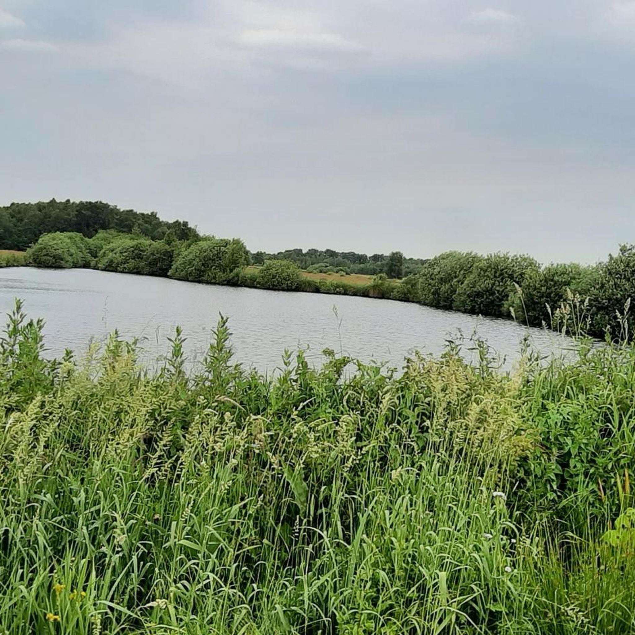
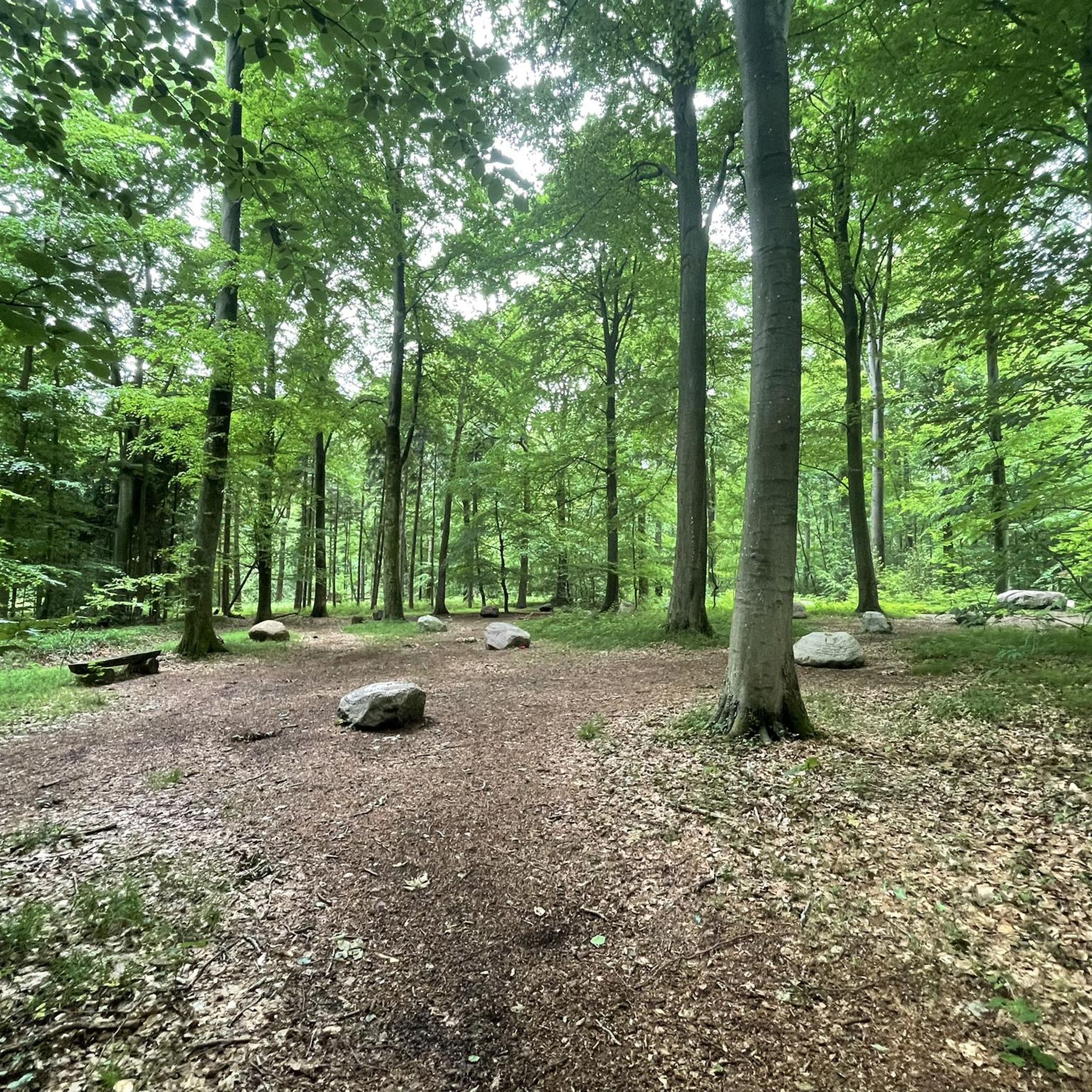
A small place to rest with a beautiful view over the hollows.
0
0
Here you have a small view over the moor pits, and if you are a geocach collector, you still have something to fish for here
0
0

The Scottish Highlanders are a peaceful breed of cattle. Everything is very slow and they don't fixate on them with their eyes. Then they get very curious. I also really liked the view of the birch forest. It may be that I'm spoiled at the moment. So I have to "earn" a hike's stars. The water areas are visited by anglers, and they drive right up to them in their cars. There are also too many tractors driving too fast on the supply routes.
5
0
After the Second World War, peat was mined here on a large scale to a depth of six metres. This is how the peat pits, which are today's water areas, were created.
4
0
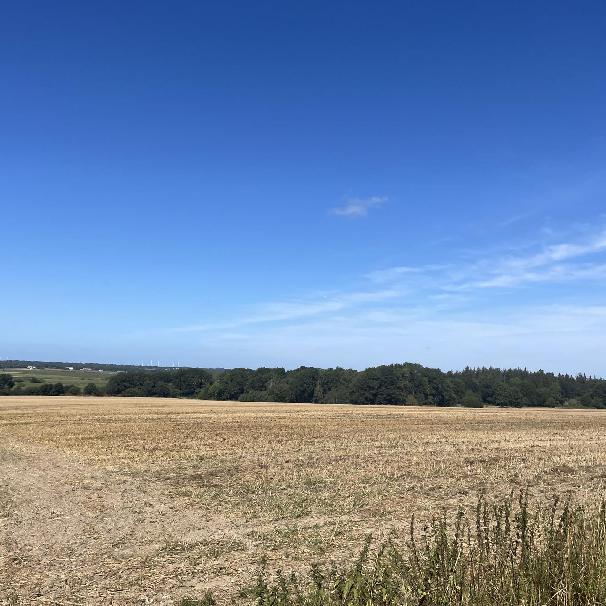
Today, the landscape is characterized by a mosaic of water areas used for sport fishing, between agricultural grassland areas. The area, which is crossed by a network of paths, also includes reed beds and fen-like wet meadows.
5
0
Today, the landscape is characterized by a mosaic of water areas used for sport fishing, between agricultural grassland areas. The area, which is crossed by a network of paths, also includes reed beds and fen-like wet meadows.
5
0
Today, the landscape is characterized by a mosaic of water areas used for sport fishing, between agricultural grassland areas. The area, which is crossed by a network of paths, also includes reed beds and fen-like wet meadows.
6
0
Frequently Asked Questions
How many hiking trails are available around Gaushorn?
Gaushorn offers a wide selection of hiking routes, with over 470 trails to explore. These include a mix of easy walks and moderate excursions, ensuring options for various fitness levels.
What kind of terrain can I expect on hikes in Gaushorn?
The hiking trails in Gaushorn are characterized by low-lying terrain and gentle gradients. You'll find paths leading through peaceful forested areas and open landscapes, offering varied natural settings with minimal elevation changes.
Are there many circular hiking routes in Gaushorn?
Yes, many of the trails in Gaushorn are designed as circular routes, allowing you to start and end at the same point. For example, the Bench With Forest View loop from Welmbüttel is a popular easy option, and the Hiking loop from LSG Welmbütteler Moor offers a longer, moderate experience.
What are the typical difficulty levels for hiking trails in Gaushorn?
Gaushorn's trails are generally accessible. You'll find a significant number of easy routes (around 300), along with over 160 moderate trails. There are also a few more challenging options for experienced hikers.
Are there any family-friendly hiking options in Gaushorn?
Given the region's gentle gradients and low-lying terrain, many of the easy routes are suitable for families. The Bench With Forest View loop from Welmbüttel, for instance, is an easy 4.4 km trail that offers pleasant forest views and is often completed in just over an hour, making it a good choice for families.
What natural features or landmarks can I see along the hiking trails in Gaushorn?
While hiking in Gaushorn, you can discover several interesting natural monuments and attractions. Highlights include the Exposed roots of the ancient beech in the Gieselau Valley, the unique Five-Finger Linden, and the Moor pools in the Ostroher-Süderholmer Moor. You might also encounter the Gieselautal Kneipp facility and bridge.
Are there any historical sites to explore near Gaushorn's trails?
Yes, for those interested in history, the Dellbrücker Chamber Megalithic Tomb is a notable historical site located near the hiking routes, offering a glimpse into the region's past.
What do other hikers enjoy most about hiking in Gaushorn?
The hiking experience in Gaushorn is highly regarded by the komoot community, with an average rating of 4.6 stars from over 1,300 reviews. Hikers frequently praise the quiet woodlands, the accessible paths, and the varied natural surroundings that make for a pleasant outdoor experience.
Are there any longer, moderate hikes for those seeking more of a challenge?
Absolutely. For a longer, moderate hike, consider the Hiking loop from LSG Welmbütteler Moor. This 13.2 km route explores the protected landscape of Welmbütteler Moor, offering a more extended experience through natural surroundings.
What is the best time of year to go hiking in Gaushorn?
The low-lying and forested nature of Gaushorn's trails makes them enjoyable across multiple seasons. Spring and autumn offer pleasant temperatures and beautiful scenery, while summer provides lush green landscapes. Even in winter, with minimal elevation changes, some trails can be accessible for a refreshing walk, though local conditions should always be checked.
Are there specific trails that lead past water features?
Yes, the Tielenau Spring – Bench With Forest View loop from Welmbüttel is a 7.2 km trail that leads through forested areas and notably passes by the Tielenau Spring, offering a pleasant water feature along the route.
Is there parking available at the trailheads in Gaushorn?
While specific parking details for every trailhead are not listed, the accessibility of Gaushorn's trails suggests that parking facilities are generally available near popular starting points, especially for routes originating from villages like Welmbüttel. It's advisable to check individual route descriptions on komoot for precise parking information.
Most popular attractions around Gaushorn

Get inspired with the komoot mobile app


Explore more
Browse the best Hikes in other regions.
