The best MTB trails around Urros e Peredo dos Castelhanos
5.0
(3)
70
riders
8
rides
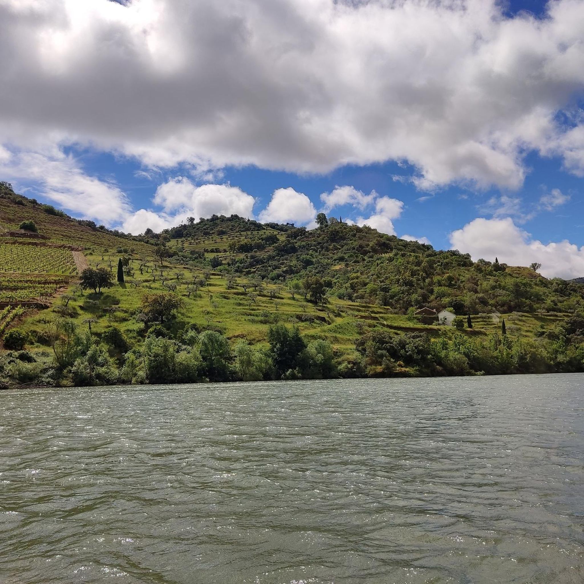
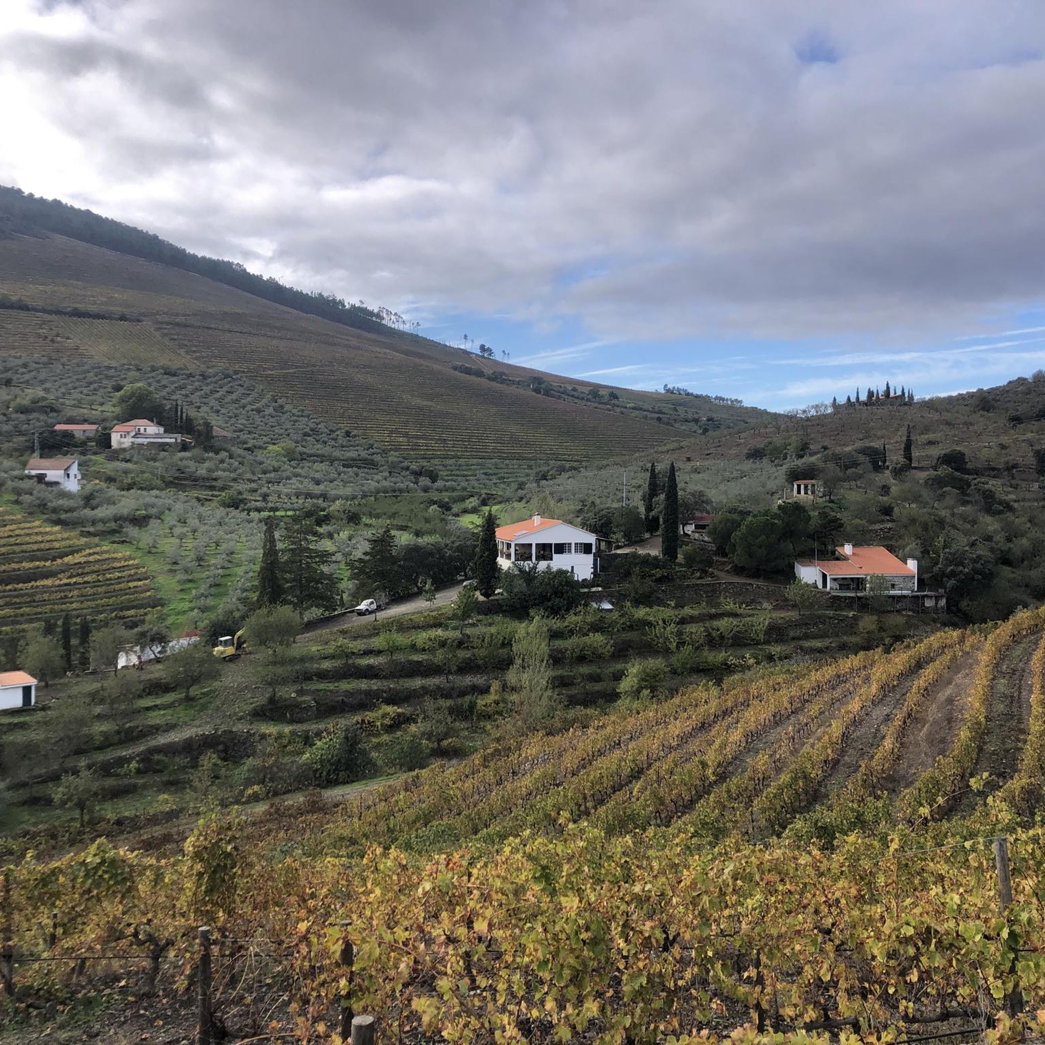
Mountain biking around Urros e Peredo dos Castelhanos offers diverse terrain within the Alto Douro region of Portugal. The area is characterized by its dramatic riverine setting, with the Douro River meandering through the landscape and varied elevations. The village plateau rises to 500 meters, providing expansive views, while the river's edge is at approximately 125 meters. The surrounding vineyards contribute to the undulating terrain, creating varied mountain bike trails.
Best mountain bike trails around Urros e Peredo dos Castelhanos
…Last updated: June 28, 2026
Moderate mountain bike ride. Good fitness required. Advanced riding skills necessary.
29
riders
59.4km
05:53
1,580m
1,580m
Hard mountain bike ride. Very good fitness required. Suitable for all skill levels.

Sign up for free
5.0
(1)
13
riders
68.0km
06:31
1,500m
1,500m
Hard mountain bike ride. Very good fitness required. Suitable for all skill levels.
11
riders
71.6km
07:27
2,000m
2,000m
Hard mountain bike ride. Very good fitness required. Suitable for all skill levels.
8
riders
39.6km
04:03
1,070m
1,070m
Hard mountain bike ride. Very good fitness required. Suitable for all skill levels.
Get access to more routes and recommendations from other explorers.
Sign up for free
Already have an account?
Our route recommendations are based on thousands of hikes, rides, and runs completed by other people on komoot.
Start today with a free account
Your next adventure awaits.
Login or Signup
Popular around Urros e Peredo dos Castelhanos

Tips from the Community

The Sabor River originates in Spain and flows through the Trás-os-Montes region until it flows into the Douro River. With the construction of the Baixo Sabor Dam, the former "wild river" gave way to the magnificent Sabor Lakes. This complex stretches for 70 km and covers four municipalities: Alfândega da Fé, Macedo de Cavaleiros, Mogadouro and Torre de Moncorvo.
0
0
The Ecopista do Sabor is a long-distance cycling and pedestrian route (with approximately 54 km usable) built on the route of the disused Linha do Sabor railway line. It connects the Pocinho area to Carviçais (30 km) and Sendim to Duas Igrejas (14 km), offering breathtaking views over the Sabor River and the Serra do Reboredo.
0
0

Old Carmelite convent that is located on one side of the road and that allows us to see incredible views of the monastery and its walls.
0
0
Nice road, which leaves us at the entrance to Urros, on a hilly and winding road, good for riding.
0
0

Go to a beautiful place, I never tire of visiting it
1
0

From this dock, at the confluence of the Águeda and Duero rivers, one can enjoy magnificent views on both sides of the Spanish-Portuguese border. The pier serves as a jetty for cruise ships that cross the Duero.
2
0

Beautiful views of the Duero River at its confluence with the Águeda River, which also happens to coincide with the border point between Spain and Portugal.
1
0
Located very close to the border with Portugal between the Águeda and Duero rivers, the town of La Fregeneda has a lot to offer and is an ideal place to start your route to the Duero and the Camino del Hierro.
1
0
Frequently Asked Questions
How many mountain bike trails are available in Urros e Peredo dos Castelhanos?
There are 8 mountain bike trails around Urros e Peredo dos Castelhanos, offering a variety of experiences for different skill levels. This includes 1 easy route, 2 moderate routes, and 5 difficult routes.
What kind of terrain can I expect on mountain bike trails in Urros e Peredo dos Castelhanos?
The terrain in Urros e Peredo dos Castelhanos is diverse, characterized by its dramatic riverine setting along the Douro River, varied elevations, and undulating paths through vineyards. You'll find routes ranging from the village plateau at 500 meters down to the river's edge at 125 meters.
Are there any circular mountain bike routes in the area?
Yes, several routes are designed as loops. For example, the challenging Albufeira do Feiticeiro – Praia Fluvial de Foz do Sabor loop from Torre de Moncorvo is a difficult 60.9 km path exploring an Albufeira and a river beach. Another option is the Arrival at Urros loop from Torre de Moncorvo, a 68.0 km difficult trail.
What are some notable natural features or viewpoints along the trails?
The region offers breathtaking views of the Douro Valley. You can find stunning vistas such as the View of the Duero River and the Amêndoa Natural Landscape. The Douro River along the Ribera do Arroio also provides picturesque scenery.
What cultural or historical attractions can I visit near the mountain bike routes?
You can combine your ride with cultural exploration. The Côa Museum, dedicated to Paleolithic art, is a significant cultural highlight. Other historical sites include Castro de São Paulo and the impressive Ponte Almirante Sarmento Rodrigues bridge.
Are there any easy mountain bike trails suitable for beginners?
Yes, there is one easy mountain bike trail available. While specific details for the easy route are not provided, the region offers options across all difficulty levels, ensuring there's something for everyone.
What do other mountain bikers say about the trails in Urros e Peredo dos Castelhanos?
The mountain bike trails in Urros e Peredo dos Castelhanos are highly rated by the komoot community, with an average score of 5.0 stars from a few reviews. Over 70 mountain bikers have used komoot to explore the varied terrain, often praising the dramatic river views and vineyard-lined paths.
Is there a moderate mountain bike trail that follows the Douro River?
Yes, the Muelle de Vega Terrón - La Fregeneda por la Ruta del Duero – Parque Natural de las Arribes del Duero is a moderate 23.1 km trail that follows the Ruta del Duero through a natural park, offering scenic views of the river.
Can I find any bridges or unique architectural features along the routes?
Absolutely. The region features several notable bridges. You might encounter the historic Ponte de Santa over the Ribeira do Mosteiro or the impressive Ponte Almirante Sarmento Rodrigues. The Vega Terrón River Pier and Railway Bridge is also a significant landmark.
Are there any settlements or villages worth exploring near the trails?
Yes, the charming Portuguese village of Barca d'Alva is located within the Douro International Natural Park, offering a tranquil spot to visit. It also features the Monument to Agostinho da Silva.
What is the best time of year for mountain biking in Urros e Peredo dos Castelhanos?
The Douro Superior region, where Urros e Peredo dos Castelhanos is located, generally offers pleasant conditions for mountain biking during spring and autumn. These seasons provide milder temperatures, making for a more comfortable riding experience compared to the hotter summer months.
Are there any longer, more challenging mountain bike routes for experienced riders?
Yes, the area is well-suited for experienced riders with 5 difficult routes. For instance, the Mountainbike loop from Torre de Moncorvo is a challenging 39.1 km route, typically taking around 4 hours to complete.
Most popular routes around Urros e Peredo dos Castelhanos
Most popular attractions around Urros e Peredo dos Castelhanos

Get inspired with the komoot mobile app


Explore more
Browse the best MTB trails in other regions.
