The best road cycling routes around Vila Do Carvalho
4.8
(38)
1,508
riders
66
rides
Road cycling around Vila Do Carvalho is characterized by its location within the Serra da Estrela Natural Park, offering a diverse and challenging terrain. The region features mountainous environments with significant elevation gains, shaped by glacial activity. Road networks are generally well-paved, providing routes that traverse varied topography and offer extensive views. This area is suitable for cyclists seeking demanding climbs and descents.
Best road cycling routes around Vila Do Carvalho
- The most popular road cycling route is Serra da Estrela – Torre (Serra da Estrela) loop from Covilhã, a 62.8 miles (101.1 km) trail that takes 6 hours 0 minutes to complete. This difficult route features substantial elevation gain through the high mountains of Serra da Estrela.
- Another top favourite among local road cyclists is Jardim do Lago – Mural A Farrapeira loop from Covilhã, a moderate 29.9 miles (48.2 km) path. This route offers varied topography and scenic sections near Covilhã.
- Local road cyclists also love the Unhais da Serra Ascent – View of Unhais da Serra loop from Covilhã, a 31.5 miles (50.6 km) trail leading through mountainous terrain with significant ascents, often completed in about 3 hours 22 minutes.
- Road cycling around Vila Do Carvalho is defined by the mountainous landscapes of Serra da Estrela, unique natural features like Covão do Boeiro, and scenic "magical balcony" viewpoints. The network offers options for easy, moderate, and difficult routes, accommodating various ability levels.
- The routes in Vila Do Carvalho are highly rated by the komoot community with an average score of 4.8 stars from over 36 reviews. More than 1500 road cyclists have used komoot to explore Vila Do Carvalho's varied terrain.
Last updated: July 8, 2026
5.0
(2)
81
riders
101km
06:02
2,400m
2,400m
Hard road ride. Very good fitness required. Mostly well-paved surfaces and easy to ride.
5.0
(2)
55
riders
48.1km
02:21
680m
680m
Moderate road ride. Good fitness required. Mostly well-paved surfaces and easy to ride.

Sign up for free
46
riders
50.6km
03:22
1,300m
1,290m
Hard road ride. Very good fitness required. Some segments of this route may be unpaved and difficult to ride.
4.0
(1)
48
riders
79.9km
03:42
910m
910m
Hard road ride. Very good fitness required. Mostly well-paved surfaces and easy to ride.
5.0
(1)
33
riders
51.9km
02:32
630m
630m
Moderate road ride. Good fitness required. Mostly well-paved surfaces and easy to ride.
Get access to more routes and recommendations from other explorers.
Sign up for free
Already have an account?
Our route recommendations are based on thousands of hikes, rides, and runs completed by other people on komoot.
Start today with a free account
Your next adventure awaits.
Login or Signup
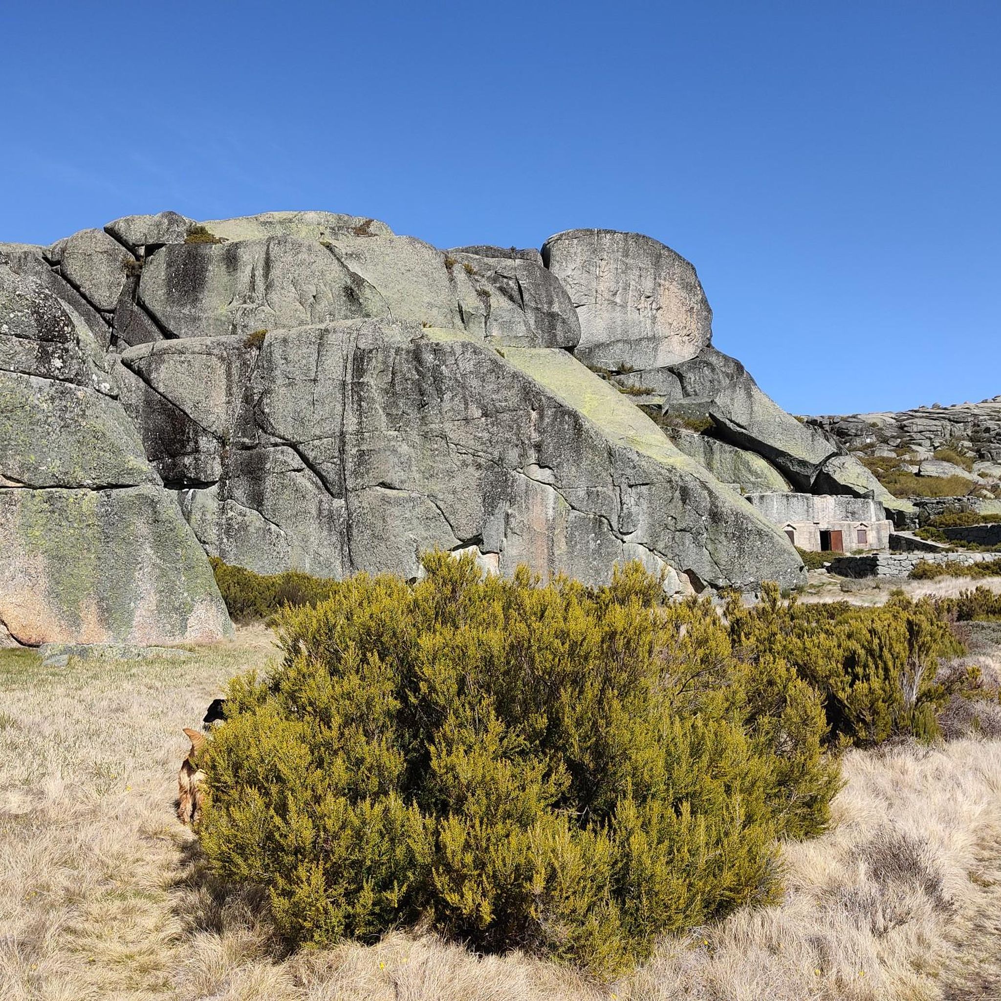
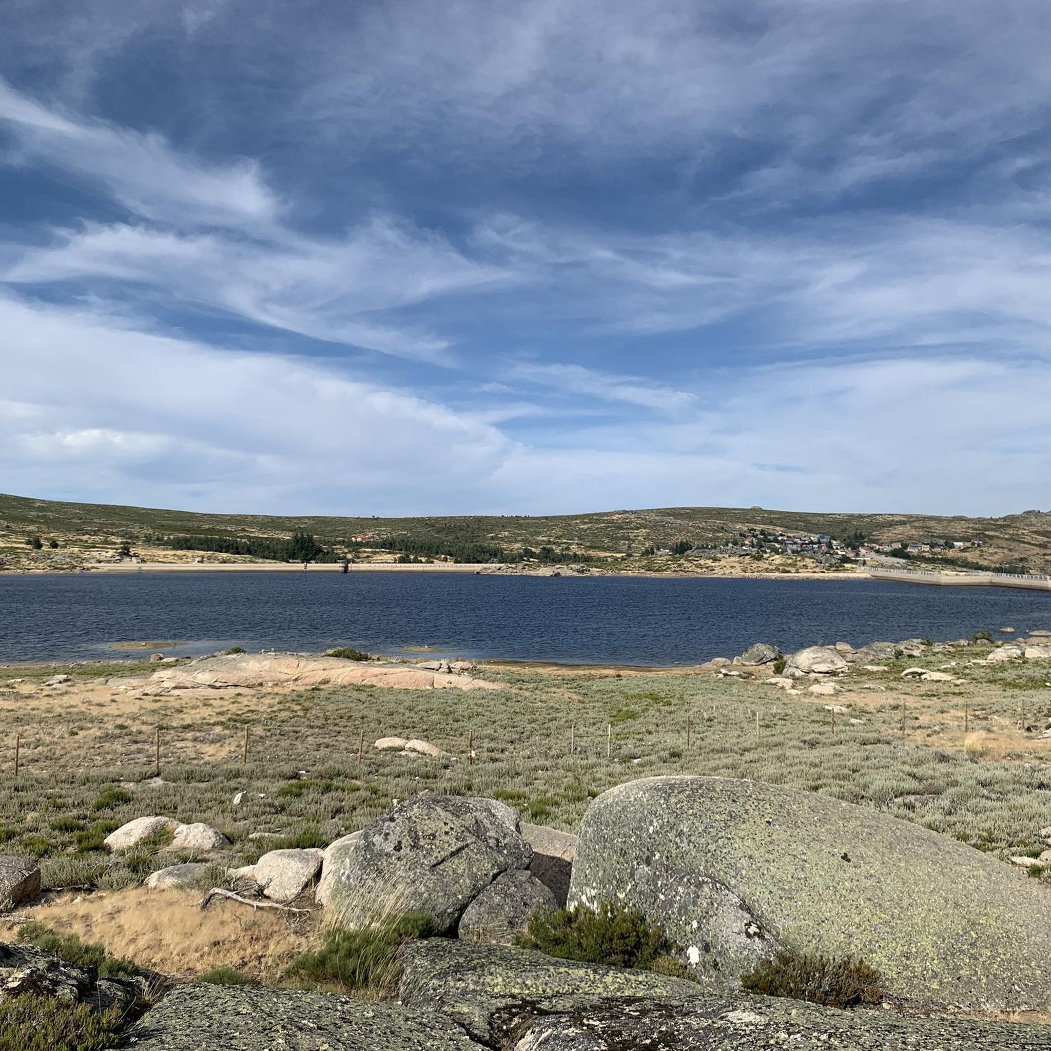
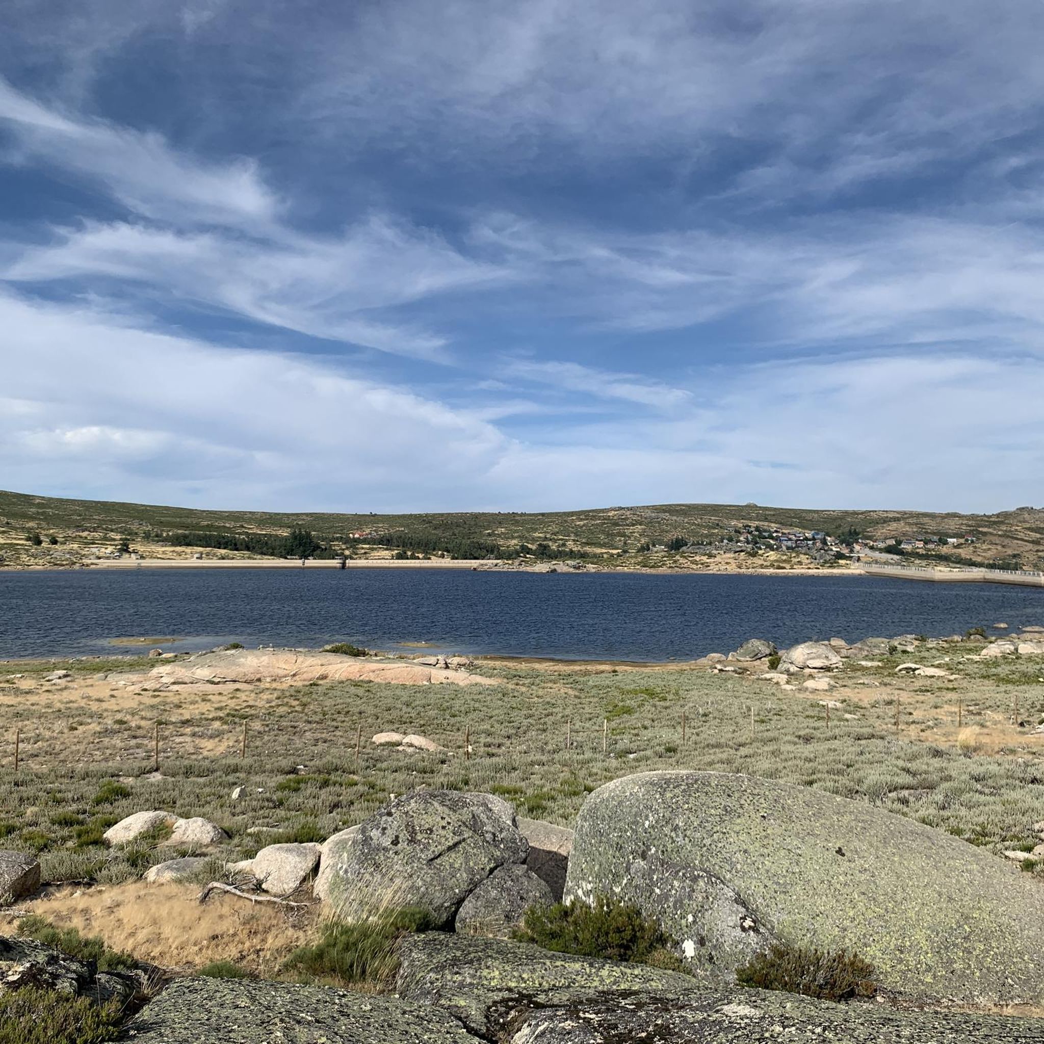
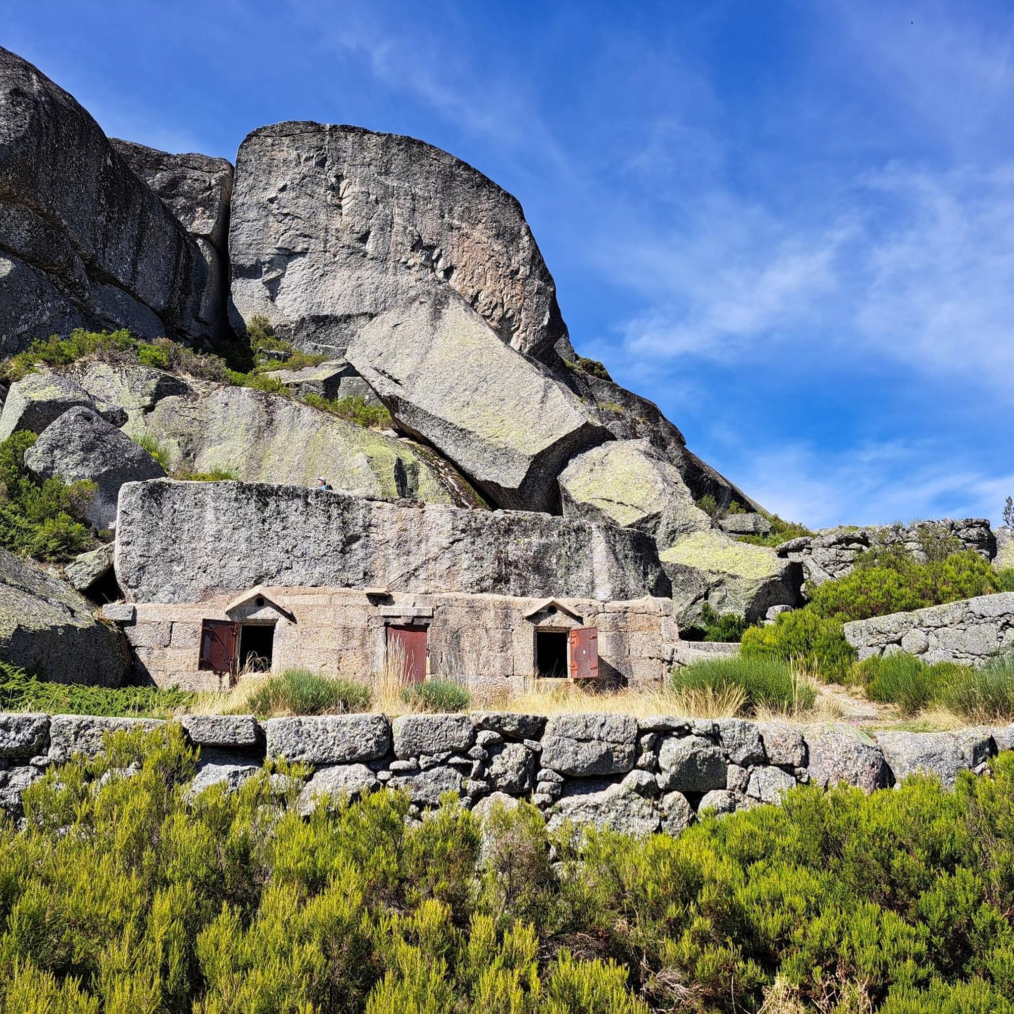

Tips from the Community


Cântaro Magro is one of the "commonplaces" of the Serra da Estrela mountain range, whose summit rises to 1928 m altitude, deserving a visit at any time of year. Viewed from west to east, its silhouette resembles a pitcher. In summer, its rocky face is interrupted by small terraces of soil, where some of the rarest botanical jewels of the mountain range grow. In winter, it is covered in snow and ice which, as they melt, form ephemeral waterfalls. These recall the overflowing liquid from the pitchers carried on the heads of women when, in the past, they went to the fountains. #CISE #VisitSeia #ParqueNaturaldaSerradaEstrela
0
0

Offering breathtaking views of the southeastern slopes of the Serra da Estrela, Cova da Beira, and the charming city of Covilhã, the Varanda dos Carqueijais, which rises 1,130 meters above sea level, is a stunning suspended viewpoint, magnificently perched in the heart of the surrounding natural landscape. The suspended walkway was the best way to provide an excellent experience for visitors, creating a kind of amphitheater, a balcony overlooking the inspiring natural landscape. This viewpoint is an integral part of the viewpoint route, developed by the Municipality of Covilhã, with the aim of promoting the region's natural heritage.
0
0

goodbye vegetables 😔
0
0

Valhelhas was born among verdant hills, sheltered in the sunny Zêzere valley. Today, it's synonymous with perfect summer: one of the largest river beaches in Beira Interior, with crystal-clear waters, generous shade, and all the support for leisurely days. But the village of this "small valley," a translation of Vallicula, its Roman name, holds more than just freshness: from the 16th-century pillory to the Philippine Bridge, passing through chapels, a church, and the ruins of the old castle, every corner tells a piece of history. And, of course, there are flavors worth the trip in any season: goat, Guarda sausages, Zêzere trout, requeijão (curd cheese), and the unmistakable Serra da Estrela cheese.
2
0
Belmonte, one of the twelve Historic Villages of Portugal, is the home of Pedro Álvares Cabral and guardian of the country's largest Jewish community, a legacy that endured centuries of Inquisition. Between walls and memories, mystique and history abound, with the Serra da Estrela on one side and the Malcata Reserve on the other. The food completes the enchantment: Jewish flavors like fried offal coexist with broths, migas, esparregados, and traditional Beira sweets: rice pudding, papas de carolo, and filhós. Here, the landscape and the food merge into a delightful experience.
5
0
Classified as a National Monument, Belmonte Castle is an unavoidable symbol of the town's history. Built in the 13th century, it still preserves the imposing walls that form an open-air amphitheater, open to time and memory. In the 15th century, the fortress was transformed into a fortified manor house for the family of Pedro Álvares Cabral, the navigator who was born within these walls. A notable detail remains in the Manueline window of one of the facades: the family coat of arms carved into the granite, a true masterpiece from which you can see the Serra da Estrela mountain range.
3
0

The Serra da Estrela Natural Park is something truly special. This 1,000-square-kilometer park, spread across six municipalities, was the first and currently the largest protected natural park in Portugal. It is home to the highest point on the Portuguese mainland, the country's only ski slope, the source of two important rivers, and a fascinating, alpine-like landscape formed by glaciers.
5
1
Frequently Asked Questions
How many road cycling routes are available around Vila Do Carvalho?
There are over 60 road cycling routes around Vila Do Carvalho, offering a wide range of options for different skill levels. You'll find everything from moderate rides to challenging ascents within the Serra da Estrela Natural Park.
What is the typical terrain and difficulty for road cycling in Vila Do Carvalho?
Road cycling in Vila Do Carvalho is characterized by its mountainous terrain within the Serra da Estrela Natural Park. Routes often feature significant elevation gains, making them suitable for cyclists seeking demanding climbs and descents. While there are some moderate options, a large number of routes are classified as difficult, requiring good fitness. For example, the Serra da Estrela – Torre (Serra da Estrela) loop from Covilhã is a challenging 101 km ride with over 2,300 meters of elevation gain.
Are there any easy or beginner-friendly road cycling routes in the area?
While many routes in the region are challenging, there are a few easier options available. The area offers a mix of difficulties, including some moderate routes that provide a less strenuous experience while still allowing you to enjoy the scenic landscapes. For instance, the Jardim do Lago – Mural A Farrapeira loop from Covilhã is a moderate 48 km path with varied topography.
What natural features or landmarks can I see along the road cycling routes?
The routes around Vila Do Carvalho offer stunning natural features and landmarks. You can encounter unique sights like Covão dos Conchos Trail, known for its distinctive funnel-shaped drainage, or the impressive Cântaro Magro rock formation. Many routes also lead to the highest point of mainland Portugal, Torre (Serra da Estrela Summit), offering panoramic views.
Are there any viewpoints along the cycling routes in Vila Do Carvalho?
Yes, the region is known for its breathtaking viewpoints. The Serra da Estrela Natural Park features 'magical balcony' roads that offer extensive panoramic vistas. Cycling routes often traverse high elevations, providing numerous opportunities to stop and admire the dramatic, glacier-shaped landscapes.
What do other road cyclists enjoy most about cycling in Vila Do Carvalho?
The komoot community highly rates road cycling in Vila Do Carvalho, with an average score of 4.8 stars from over 36 reviews. Cyclists frequently praise the challenging climbs, the stunning mountainous landscapes of Serra da Estrela, and the well-paved roads that make for a rewarding experience. The diverse topography and unique natural features are also often highlighted.
Are there any circular road cycling routes available?
Yes, many of the road cycling routes around Vila Do Carvalho are designed as loops, allowing you to start and finish in the same location. Examples include the Unhais da Serra Ascent – View of Unhais da Serra loop from Covilhã and the Cântaro Magro – Serra da Estrela loop from Penhas da Saúde, which offer varied distances and difficulties.
What is the best time of year for road cycling in Vila Do Carvalho?
The best time for road cycling in Vila Do Carvalho is generally during the spring and autumn months when temperatures are milder and the weather is more stable. Summer can be hot, especially on exposed climbs, while winter can bring snow and ice to higher elevations within the Serra da Estrela, making some routes impassable or very challenging.
Are there options for family-friendly road cycling routes?
While many routes in the Serra da Estrela are demanding, there are some easier sections and less strenuous paths that might be suitable for families with older children or those looking for a more relaxed ride. It's advisable to check the elevation profiles and distances carefully for routes classified as 'easy' or 'moderate' to ensure they match your family's capabilities.
Where can I find parking for my car when starting a road cycling route?
Many routes around Vila Do Carvalho start from nearby towns like Covilhã. These towns typically offer public parking facilities where you can leave your car. It's recommended to check specific starting points of your chosen route for the most convenient parking options.
Are there any cafes or places to stop for refreshments along the routes?
Yes, especially in the villages and towns you pass through, there are often cafes, restaurants, and small shops where you can refuel and take a break. In the more remote, higher mountain sections of the Serra da Estrela, services might be scarcer, so it's always wise to carry enough water and snacks.
Can I access road cycling routes using public transport with my bike?
Public transport options, such as buses, connect Vila Do Carvalho with larger towns like Covilhã. However, policies regarding carrying bicycles on public transport can vary. It's best to check with the specific transport provider in advance to confirm if bikes are permitted and if there are any associated fees or restrictions.
What are some of the more challenging road cycling routes in the region?
For experienced cyclists seeking a significant challenge, routes like the Serra da Estrela – Torre (Serra da Estrela) loop from Covilhã are ideal. This route covers over 100 km with substantial elevation gain, taking you through the high mountains to the summit of Torre. Another demanding option is the Valhelhas – Central Restaurant, Manteigas loop from Covilhã, a difficult 80 km ride.
Most popular attractions around Vila Do Carvalho

Get inspired with the komoot mobile app


Explore more
Browse the best Road cycling routes in other regions.
