The best walks and hikes around Vila Nova Do Ceira
4.4
(90)
391
hikers
20
hikes
Hiking around Vila Nova Do Ceira offers a diverse landscape characterized by the Serra da Lousã mountains and historic Schist Villages. The terrain features significant elevation changes, with trails winding through forested areas and open mountain paths. This region provides a mix of challenging ascents and more moderate routes, often connecting picturesque villages.
Best hiking trails around Vila Nova Do Ceira
- The most popular hiking route is Talasnal Schist Village – Talasnal Taverna loop from Site of Community Importance Serra…
Last updated: October 11, 2026
4.7
(9)
36
hikers
9.45km
02:57
360m
370m
Moderate hike. Good fitness required. Easily-accessible paths. Suitable for all skill levels.
4.6
(7)
33
hikers
10.1km
03:09
390m
390m
Moderate hike. Good fitness required. Easily-accessible paths. Suitable for all skill levels.

4.0
(3)
18
hikers
Moderate hike. Good fitness required. Easily-accessible paths. Suitable for all skill levels.
4.0
(3)
20
hikers
6.92km
01:50
70m
70m
Easy hike. Great for any fitness level. Easily-accessible paths. Suitable for all skill levels.
4.5
(2)
7
hikers
11.5km
03:17
270m
270m
Moderate hike. Good fitness required. Easily-accessible paths. Suitable for all skill levels.
Get access to more routes and recommendations from other explorers.
Already have an account?
Our route recommendations are based on thousands of hikes, rides, and runs completed by other people on komoot.
Start today with a free account
Your next adventure awaits.
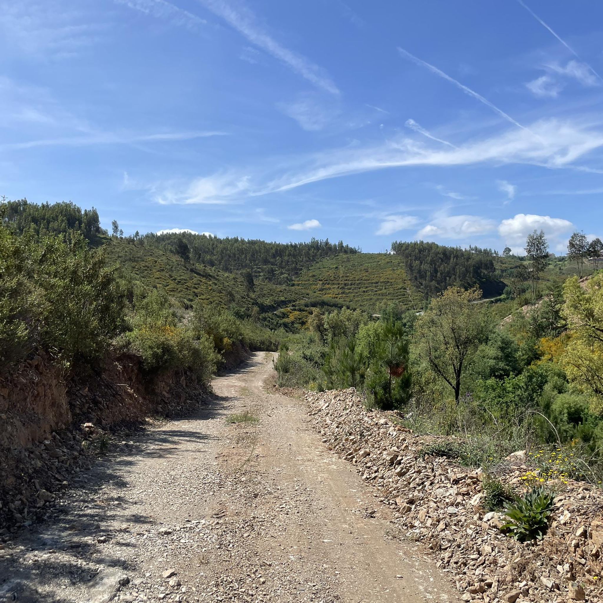

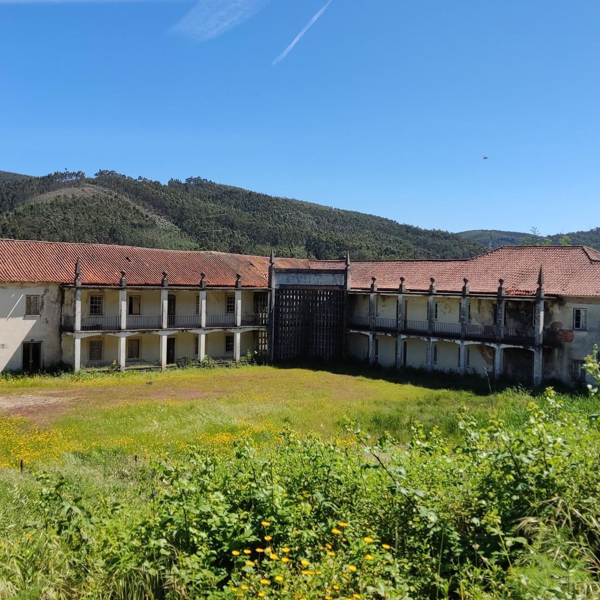
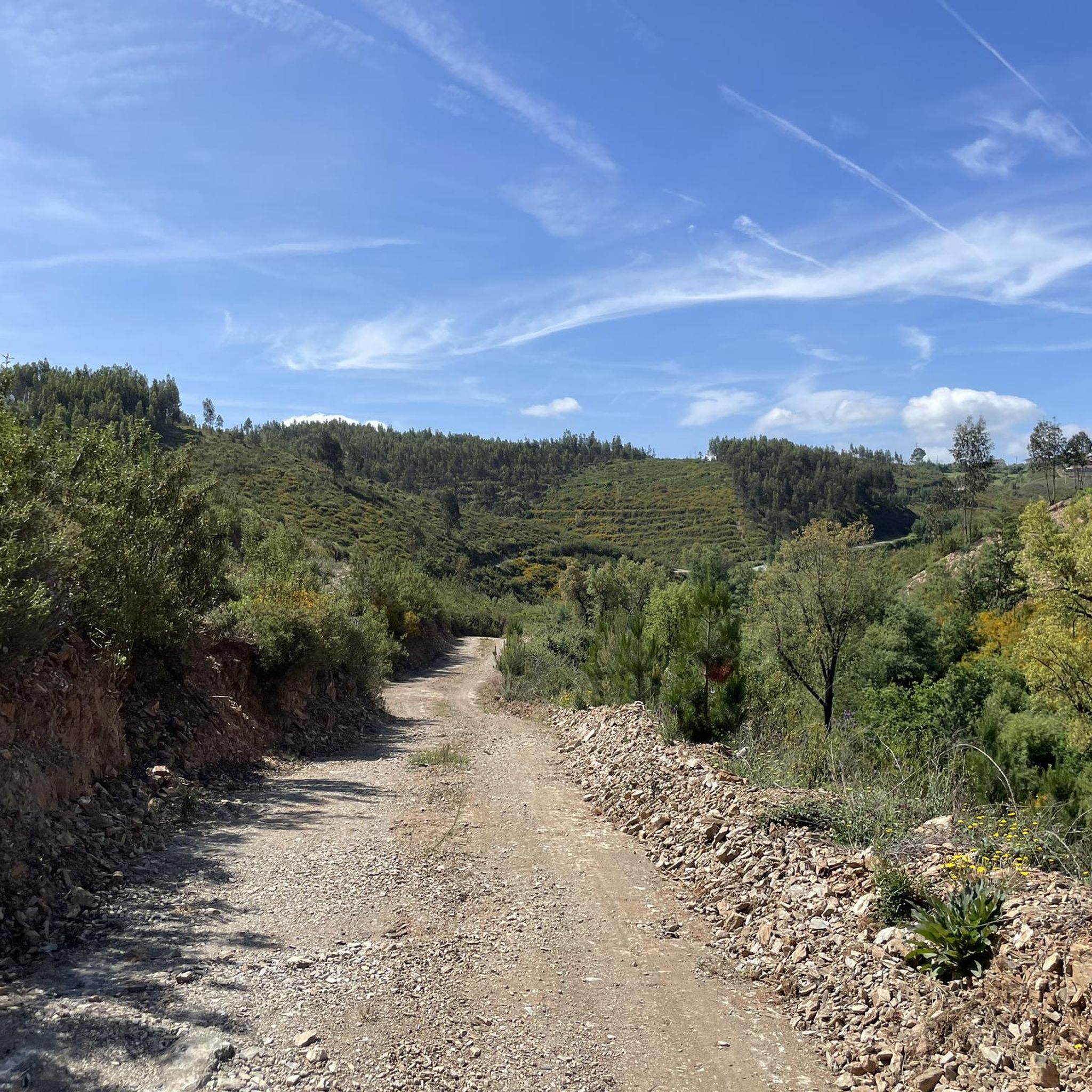
Tips from the Community

The Ponte Real (or Ponte Velha) over the Ceira River is located in the village of Góis, being one of the historical ex-libris of the region. This medieval-style bridge, later reformed, is an important tourist attraction, crossing the Ceira River, a left-bank tributary of the Mondego River, which originates in the Serra do Açor. Location: Center of the village of Góis, facilitating pedestrian access. Characteristics: Imposing structure with stone arches, typical of crossing constructions from the monarchical period. Surroundings: The Ceira River, near this area, offers river beaches highly sought after during the summer, standing out for the quality of the water and tranquility. History: It is part of the built heritage from the Manueline/medieval period of the region.
1
0

nice place to
0
0

It is best to do this in the morning, when there is still shade in the forest.
0
0


Beautiful nature, ideal for a refreshing dip in the water or a dip in the water.
1
0


A dirt road leads to this extraordinary place where the river has cut through a mountain. There are no parking spaces.
1
0
Frequently Asked Questions
How many hiking trails are available in Vila Nova Do Ceira?
Vila Nova Do Ceira offers a diverse network of over 20 hiking trails. These routes vary in difficulty, ranging from easy village-to-village walks to more challenging mountain ascents through the Serra da Lousã.
Are there easy hiking trails suitable for beginners in Vila Nova Do Ceira?
Yes, Vila Nova Do Ceira has 7 easy hiking trails perfect for beginners or those looking for a more relaxed walk. These routes often wind through picturesque villages and offer gentle terrain.
Does Vila Nova Do Ceira offer circular hiking routes?
Many of the trails in Vila Nova Do Ceira are circular, allowing you to start and end at the same point. For example, the Schist Villages – Pena loop from Aigra Nova is a moderate 5.9-mile (9.4 km) circular route that takes you through traditional Schist Villages and forested hills.
What are the typical lengths of hikes in Vila Nova Do Ceira?
Hiking trails in Vila Nova Do Ceira vary significantly in length. You can find shorter, moderate routes like the Cerdeira Schist Village – Candal Schist Village loop at 4.2 miles (6.7 km), up to longer, more challenging trails such as the Talasnal Schist Village – Casal Novo Schist Village loop, which spans 10.8 miles (17.4 km).
Are there family-friendly hiking options in Vila Nova Do Ceira?
While the region features significant elevation changes, there are moderate trails that can be enjoyed by families. Look for routes that connect the Schist Villages, as these often have cultural points of interest and are less strenuous than mountain ascents. Always check the route's difficulty and length to ensure it suits your family's abilities.
Can I bring my dog on the hiking trails in Vila Nova Do Ceira?
Many trails in Vila Nova Do Ceira are dog-friendly, allowing you to explore the natural beauty with your canine companion. However, it's always advisable to keep dogs on a leash, especially in protected areas or near livestock, and to carry water for them, particularly during warmer months.
What can I see along the hiking trails in Vila Nova Do Ceira?
The trails often lead through historic Schist Villages, offering cultural insights. You can also discover natural attractions like the Senhora da Piedade River Pool, the Waterfall and Cave in Serra da Lousã, or the dramatic Garganta do Ceira.
Are there opportunities for wild swimming near the hiking trails?
Yes, the region is known for its river beaches and natural pools. The Senhora da Piedade River Pool is a popular spot for a refreshing dip, often accessible from nearby hiking routes, providing a perfect way to cool down after a walk.
What is the best time of year to hike in Vila Nova Do Ceira?
Spring (April to June) and autumn (September to October) are generally considered the best times for hiking in Vila Nova Do Ceira. The weather is milder, and the landscapes are vibrant with spring blooms or autumn colors. Summers can be hot, while winters may bring cooler temperatures and occasional rain.
Where can I find more challenging hikes in Vila Nova Do Ceira?
For more challenging hikes, focus on routes that venture deeper into the Serra da Lousã mountains. Trails like the Talasnal Schist Village – Talasnal Taverna loop, which covers 10.3 miles (16.5 km) with significant elevation gain, offer a demanding experience for experienced hikers.
Is parking available near the trailheads in Vila Nova Do Ceira?
Parking is generally available in or near the Schist Villages, which often serve as starting points for many trails. It's advisable to check specific village information or trail descriptions for designated parking areas before your hike.
What do other hikers enjoy the most about hiking in Vila Nova Do Ceira?
The area is highly rated by the komoot community, with an average score of 4.5 stars from over 70 reviews. Reviewers often praise the unique charm of the Schist Villages, the diverse mountainous terrain, and the well-integrated network of trails that offer both cultural and natural exploration.
Most popular attractions around Vila Nova Do Ceira

Get inspired with the komoot mobile app


Explore more
Browse the best Hikes in other regions.
