The best road cycling routes around Sazes Do Lorvão
4.3
(9)
615
riders
59
rides
Road cycling routes around Sazes Do Lorvão traverse varied terrain, defined by the Mondego River to the southeast and the Serra do Buçaco to the northeast. This region features riverside paths, mountain slopes, and deciduous trees such as ash, chestnut, and oak. The Mondego Valley offers panoramic views, encompassing valleys and granite cliffs, providing a dynamic backdrop for road cyclists.
Best road cycling routes around Sazes Do Lorvão
- The most popular road cycling route is View of Coimbra – Coimbra…
Last updated: July 2, 2026
5.0
(1)
26
riders
56.6km
02:39
440m
440m
Moderate road ride. Good fitness required. Mostly well-paved surfaces and easy to ride.
25
riders
Moderate road ride. Good fitness required. Mostly well-paved surfaces and easy to ride.

Sign up for free
14
riders
Moderate road ride. Good fitness required. Some segments of this route may be unpaved and difficult to ride.
21
riders
91.0km
03:47
490m
490m
Moderate road ride. Good fitness required. Mostly well-paved surfaces and easy to ride.
11
riders
101km
04:19
720m
720m
Moderate road ride. Good fitness required. Mostly well-paved surfaces and easy to ride.
Get access to more routes and recommendations from other explorers.
Sign up for free
Already have an account?
Our route recommendations are based on thousands of hikes, rides, and runs completed by other people on komoot.
Start today with a free account
Your next adventure awaits.
Login or Signup


Tips from the Community

An excellent place for a hike or simply a walk along the Mondego river, from Choupal to the Convent of São Francisco. Steps for Peace Hike, to be held on September 27, 2026, during the Season of Creation, on the occasion of the 800th anniversary of the Easter of Saint Francis of Assisi, pioneer of integral ecology and inspirer of Laudato Si'.
0
0

Super dunes and super beach. You have to make a stop here.
2
0
The Cross of São Domingos (also known as Cruzeiro de São Domingos or Cruzeiro de Nossa Senhora da Glória) is an ornate, late Gothic stone cross from the late 15th century. It is located protected in the vestibule (Galilé) of the Cathedral of Aveiro (Sé Catedral de Aveiro / Igreja de São Domingos).Interesting facts about the cross:Origin: It comes from a workshop in Coimbra.
3
0

Praia de Mira is a river beach located in the municipality of Mira, district of Coimbra, Portugal. It is known for its calm, crystal-clear waters, surrounded by natural landscapes. Praia de Mira is a popular destination for those seeking relaxation and contact with nature.
0
0

Mira da Barrinha Beach boasts a lagoon nestled against the sands of the world's longest-serving Blue Flag. Opened on August 1st, it invites you to take a dip in the calm waters of Barrinha Lagoon, which features sand, fine grass, a floating pool, and a bar.
2
0

Green and fresh to rest your legs and have a coffee.
0
0

Barrinha de Mira is a small village located on the coast of Portugal, part of the parish of Praia de Mira, municipality of Mira, district of Coimbra. The village has approximately 800 inhabitants and its patron saint is the Lord of the Afflicted. Celebrations take place on the first weekend of September. The beautiful landscape consists of a mixed area of beach, Poço da Cruz Beach, the river (Mira canal), and forest, and many of those who live there still engage in traditional agriculture and fishing. (Source: www.guiadacidade.pt)
12
0
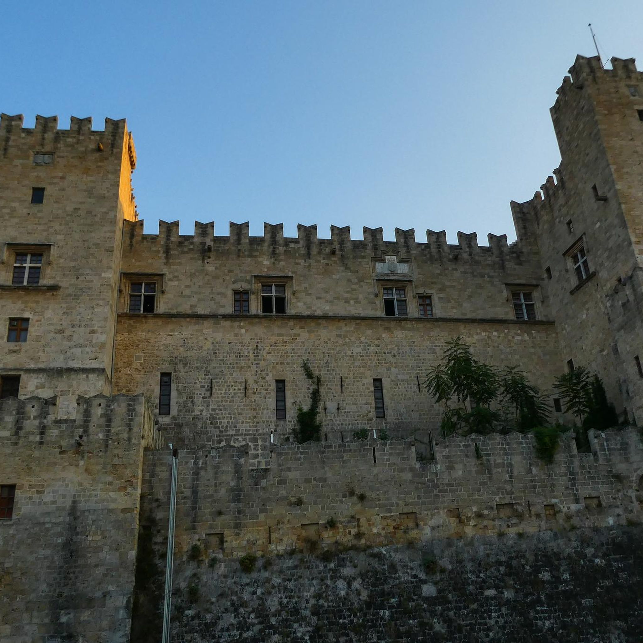
Although there are references to its existence as early as the High Middle Ages, what remains today dates from the late 14th century. Within the walls are remains of the old Medieval Palace, where the death of Dona Inês de Castro was reportedly decided, as well as the Church of Santa Maria da Alcáçova, founded in 1095 but restored in the 16th century. During the Arab occupation, materials imported from Córdoba arrived at Montemayur Castle, including capitals dating back to the Caliphate period, one of which is now part of the collection of the Machado de Castro National Museum in Coimbra. Later, the castle would play a recognized strategic role during the Christian reconquest of the territory. (Source: www.turismodocentro.pt)
13
0
Frequently Asked Questions
How many road cycling routes are available around Sazes Do Lorvão?
There are over 60 road cycling routes around Sazes Do Lorvão, offering a diverse range of experiences. You'll find options suitable for various fitness levels, including 9 easy routes, 47 moderate routes, and 8 challenging routes.
What kind of terrain can I expect when road cycling in Sazes Do Lorvão?
The terrain around Sazes Do Lorvão is quite varied, defined by the Mondego River to the southeast and the Serra do Buçaco to the northeast. This means you can expect a mix of riverside paths, undulating roads, and mountain slopes. The region features deciduous trees like ash, chestnut, and oak, and the Mondego Valley offers panoramic views of valleys and granite cliffs, providing a dynamic backdrop for your rides.
Are there any challenging road cycling routes for experienced cyclists?
Yes, for experienced cyclists seeking a challenge, the region offers routes with significant elevation gain. While Sazes Do Lorvão itself has 8 difficult routes, the nearby Serra da Lousã is renowned for its challenging climbs and panoramic views. Some routes in Serra da Lousã can span nearly 100 kilometers with over 2,000 meters of elevation gain, requiring good fitness. Consider exploring routes that venture towards this area for a more demanding ride.
What are some scenic viewpoints or natural features I can see while cycling?
The region boasts several scenic viewpoints and natural features. The Mondego Valley offers breathtaking panoramic views. You can also visit the Cruz Alta Viewpoint or the Livraria do Mondego Viewpoint for stunning vistas. Natural highlights include Fonte Fria and Fonte das Águas Mansas, as well as the tranquil Vale das Feteiras forest.
Are there any historical or cultural landmarks along the cycling routes?
Yes, the area around Sazes Do Lorvão is rich in history and culture. You might encounter traditional windmills in Espinheira and Portela de Oliveira. The ancient Monastery of Lorvão, one of Europe's oldest, is situated nearby. For architectural interest, consider routes that pass by the impressive Buçaco Palace Hotel or the historic Buçaco Palace.
What do other road cyclists say about the routes in Sazes Do Lorvão?
The road cycling routes in Sazes Do Lorvão are highly rated by the komoot community, with an average score of 4.4 stars from over 20 reviews. Cyclists often praise the varied terrain, the scenic views of the Mondego Valley, and the diverse options available for different skill levels, from riverside paths to more challenging mountain slopes.
Are there any circular road cycling routes available?
Yes, many of the road cycling routes around Sazes Do Lorvão are designed as loops, allowing you to start and finish in the same location. For example, you could try the moderate View of Coimbra – Coimbra Riverside Walk loop from Luso - Buçaco, or the Concrete Dome Structure – Fonte da Mealhada loop from Quinta do Valongo - Vacariça.
What is the best time of year for road cycling in Sazes Do Lorvão?
The climate in Sazes Do Lorvão is characterized by moderate temperatures and warm, dry summers, making late spring, summer, and early autumn ideal for road cycling. Winters can bring abundant rain, so checking the weather forecast is advisable during those months.
Are there any long-distance road cycling routes in the area?
Yes, for those looking for longer rides, there are several options. The Montemor-o-Velho Castle – Ponte dos Casais loop from Quinta do Valongo - Vacariça covers approximately 94 kilometers. Another extensive route is the Aveiro Fish Market – Republic Square, Aveiro loop from Luso - Buçaco, which stretches over 100 kilometers.
Can I find routes that follow rivers or have water features?
Absolutely. The Mondego River plays a significant role in defining the region's landscape. The View of Coimbra – Coimbra Riverside Walk loop from Luso - Buçaco follows a riverside path. The wider Penacova area is known for its rivers, reservoirs, and even tranquil blue flag river beaches like Praia Fluvial do Reconquinho, offering opportunities to cycle alongside water.
Are there any easy or beginner-friendly road cycling routes?
Yes, Sazes Do Lorvão offers 9 easy road cycling routes, perfect for beginners or those looking for a relaxed ride. These routes typically feature less elevation gain and shorter distances, allowing you to enjoy the scenery without excessive effort. The Mondego cycling and walking path, while not exclusively for road bikes, offers a relatively flat and scenic 40-kilometer stretch along the river that can be suitable for a leisurely ride.
What is the longest road cycling route available?
The longest road cycling route listed is the Aveiro Fish Market – Republic Square, Aveiro loop from Luso - Buçaco, which is approximately 102.9 kilometers long and involves about 725 meters of elevation gain.
Most popular routes around Sazes Do Lorvão
Most popular attractions around Sazes Do Lorvão

Get inspired with the komoot mobile app


Explore more
Browse the best Road cycling routes in other regions.
