The best walks and hikes around Boliqueime
4.4
(2685)
14,083
hikers
16
hikes
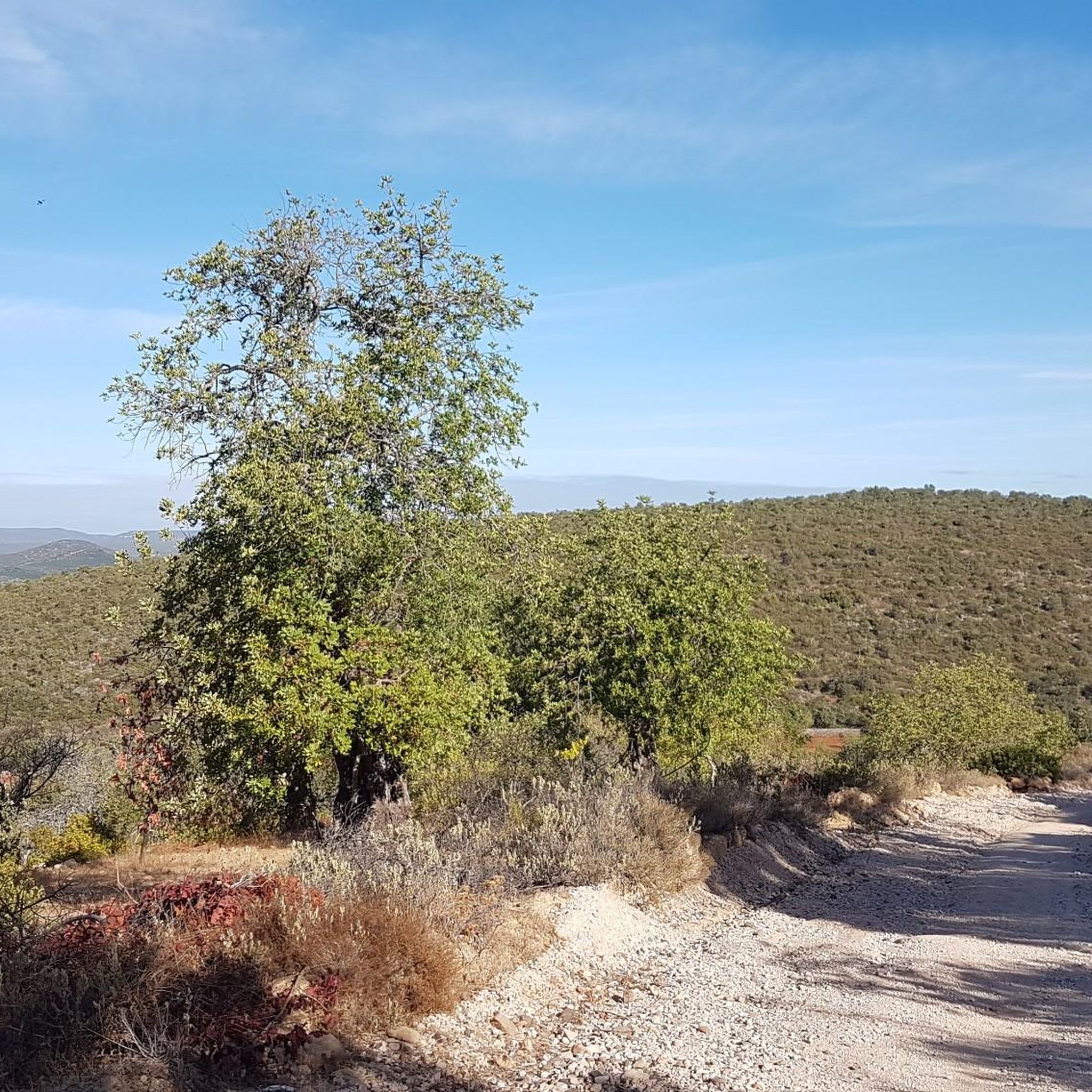
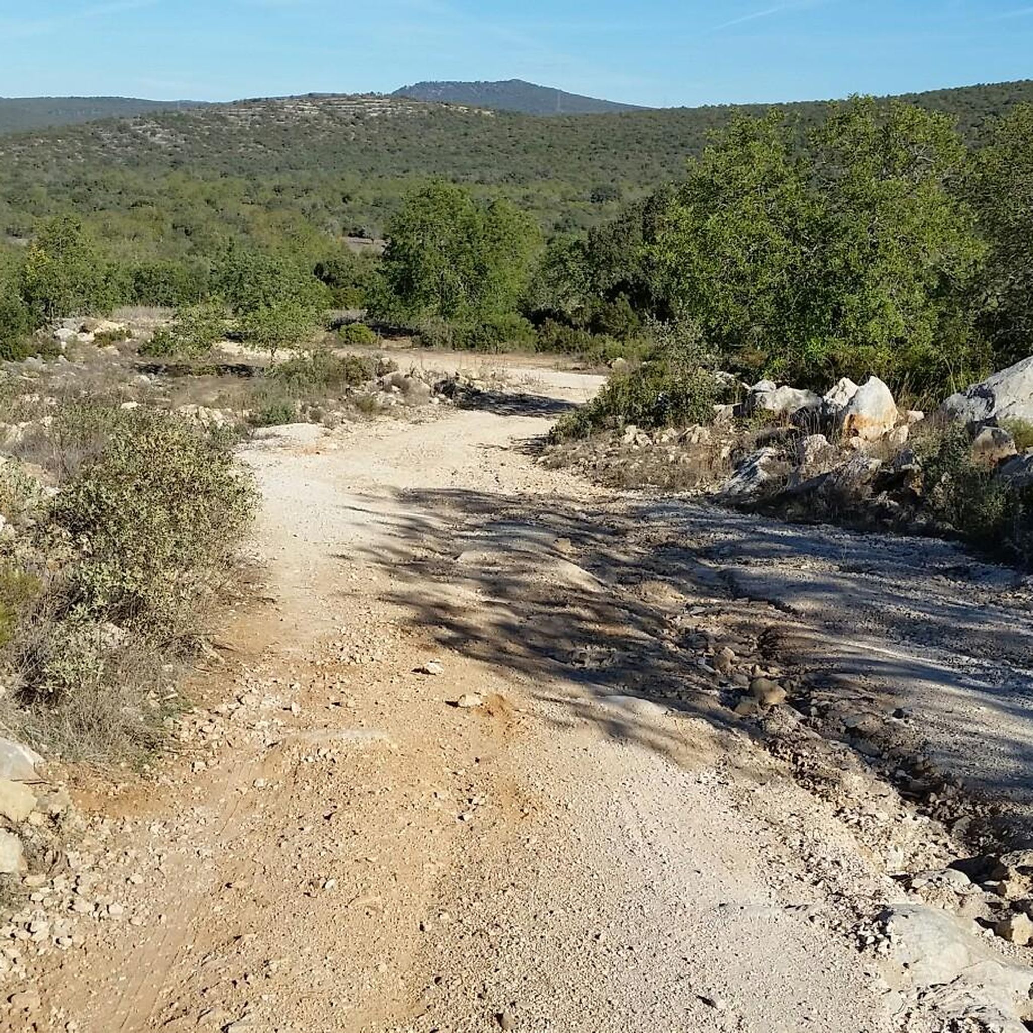
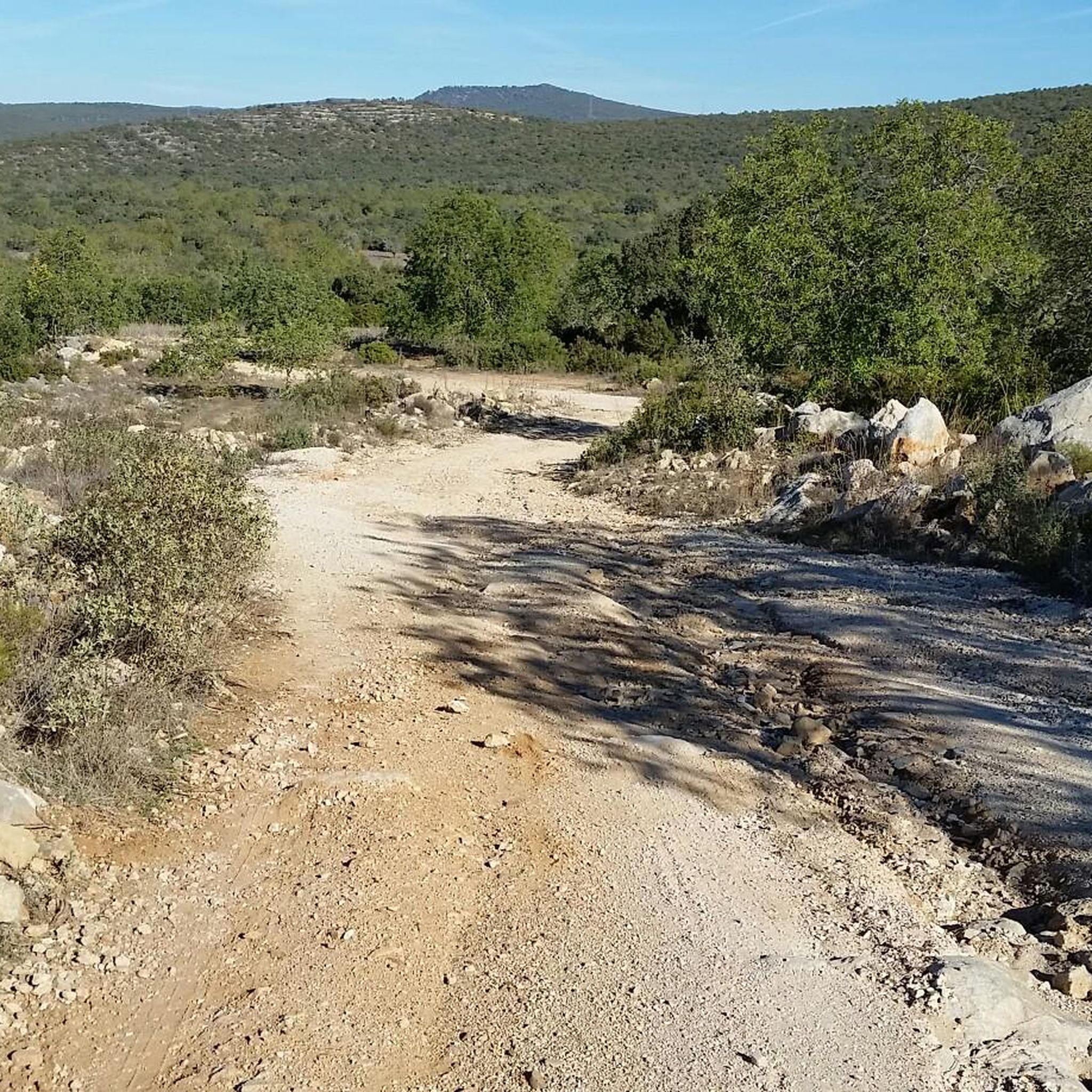
Hiking around Boliqueime, Portugal, offers diverse terrain characterized by rolling hills, river valleys, and proximity to the Algarve's coastline. The region features a mix of agricultural landscapes, traditional villages, and natural watercourses like the Ribeira de Quarteira and Ribeira de Algibre. Trails often lead through areas with historical elements, such as the Paderne Bridge, and provide access to scenic coastal cliffs. This varied landscape provides options for different hiking experiences.
Best hiking trails around Boliqueime
- The most popular hiking route is Paderne's Medieval Bridge – View of the Paderne Bridge loop from Boliqueime, a 12.2 miles (19.6 km) trail that takes 5 hours 19 minutes to complete. This difficult route features steady climbs and views of the historic Paderne Bridge.
- Another top favourite among local hikers is Falésia Beach – Cliffs of Praia da Falésia loop from Olhos de Água, a difficult 16.0 miles (25.7 km) path. This trail offers coastal paths along the cliffs of Praia da Falésia.
- Local hikers also love the Trail in Ribeira de Quarteira – Trail in Ribeira de Quarteira loop from Patã de Cima, a 3.8 miles (6.1 km) trail leading through riverine landscapes along the Ribeira de Quarteira, often completed in about 1 hour 38 minutes.
- Hiking around Boliqueime is defined by river valleys, coastal cliffs, and historic sites. The network offers options for easy hikes around Boliqueime as well as more challenging routes.
- The routes in Boliqueime are highly rated by the komoot community with an average score of 4.4 stars from over 1,900 reviews. More than 11,000 hikers have used komoot to explore Boliqueime's varied terrain.
Last updated: October 7, 2026
5.0
(10)
40
hikers
Hard hike. Very good fitness required. Easily-accessible paths. Suitable for all skill levels.
5.0
(6)
24
hikers
23.2km
06:00
130m
130m
Hard hike. Very good fitness required. Easily-accessible paths. Suitable for all skill levels.

4.8
(5)
13
hikers
Easy hike. Great for any fitness level. Easily-accessible paths. Suitable for all skill levels.
4.5
(4)
8
hikers
9.27km
02:35
170m
170m
Moderate hike. Good fitness required. Easily-accessible paths. Suitable for all skill levels.
5.0
(1)
7
hikers
10.2km
02:46
150m
150m
Moderate hike. Good fitness required. Easily-accessible paths. Suitable for all skill levels.
Get access to more routes and recommendations from other explorers.
Already have an account?
Our route recommendations are based on thousands of hikes, rides, and runs completed by other people on komoot.
Start today with a free account
Your next adventure awaits.
Tips from the Community

Great structure of the rocks, shaped by the wind over millennia.
0
0
Our almost daily "gateway" to the beach and sunbathing...
0
0
Beautiful wooden staircase on the outskirts to the hinterland of Falesia that connects the plateau above with the beach below.
0
0
Even at the top of the plateau there is a great hiking trail. But beware! Steep cliffs without protection!
0
0
Picturesque scenery and great sea sounds on the beach.
0
0

at the end of May there was too much water to cross
0
0

At the end of April, this river crossing was unfortunately not possible due to the water level. Strong current and no safe way.
0
0

Be careful! After rain, there are many deep puddles and slippery descents. It's not possible without poles. Keep an eye on the map more than usual. Signs to the left or right of Komoot can sometimes be confusing. A beautiful hike.
0
0
Frequently Asked Questions
How many hiking trails are available around Boliqueime?
There are over 15 hiking trails around Boliqueime, offering a range of experiences from easy strolls to more challenging routes. The komoot community has explored these trails over 11,000 times.
Are there any easy, family-friendly walks in Boliqueime?
Yes, Boliqueime offers several easy trails suitable for families. An excellent option is the Trail in Ribeira de Quarteira – Trail in Ribeira de Quarteira loop from Patã de Cima, which is 3.8 miles (6.1 km) long and takes about 1 hour 38 minutes to complete, leading through pleasant riverine landscapes.
What kind of terrain can I expect on hikes around Boliqueime?
Hiking around Boliqueime features diverse terrain, including rolling hills, river valleys, and agricultural landscapes. You'll find trails along natural watercourses like the Ribeira de Quarteira and Ribeira de Algibre, as well as routes that lead to scenic coastal cliffs and historic sites such as the Paderne Bridge.
Are there any circular walks in the Boliqueime area?
Many of the trails around Boliqueime are designed as circular routes, allowing you to start and end at the same point. Examples include the Paderne's Medieval Bridge – View of the Paderne Bridge loop from Boliqueime and the Ribeira de Algibre loop from Casa Amarela.
What are some challenging hiking options near Boliqueime?
For those seeking a challenge, the Paderne's Medieval Bridge – View of the Paderne Bridge loop from Boliqueime is a difficult 12.2-mile (19.6 km) trail with steady climbs. Another demanding option is the Falésia Beach – Cliffs of Praia da Falésia loop from Olhos de Água, which covers 16.0 miles (25.7 km) along coastal paths.
What natural attractions or landmarks can I see on hikes around Boliqueime?
Many trails offer access to beautiful natural features and landmarks. You can explore the stunning Falésia Beach and its dramatic Praia da Falésia Cliffs. The historic Paderne Bridge is also a notable landmark accessible via several routes, and you might encounter the Source of the Benémola Stream.
Is Boliqueime a good place for dog-friendly hikes?
Boliqueime's varied landscapes, including river valleys and agricultural areas, generally offer good opportunities for hiking with dogs. Many trails are unpaved and pass through natural settings. Always ensure your dog is under control and check local regulations for specific areas, especially protected natural sites.
What is the best time of year to go hiking in Boliqueime?
The best time for hiking in Boliqueime is typically during the cooler months, from autumn through spring (October to May). During these periods, the weather is milder and more comfortable for longer walks. Summer can be very hot, so if hiking then, it's advisable to go early in the morning or late in the afternoon and carry plenty of water.
Are there any hikes with viewpoints or scenic overlooks in Boliqueime?
Yes, several routes offer scenic viewpoints, particularly those that traverse the rolling hills or approach the coast. The Paderne's Medieval Bridge – View of the Paderne Bridge loop from Boliqueime provides views of the historic bridge, while coastal trails like the Falésia Beach – Cliffs of Praia da Falésia loop from Olhos de Água offer expansive ocean vistas from the cliffs.
What do other hikers say about the trails in Boliqueime?
The trails in Boliqueime are highly regarded by the komoot community, with an average rating of 4.4 stars from over 1,900 reviews. Hikers often praise the diverse scenery, from tranquil river valleys to dramatic coastal cliffs, and the opportunity to explore both natural beauty and historical sites.
Are there any moderate difficulty hikes around Boliqueime?
Absolutely. Boliqueime has 10 moderate trails. A good example is the Ribeira de Algibre loop from Casa Amarela, which is 5.8 miles (9.3 km) long and takes approximately 2 hours 35 minutes, offering a pleasant journey through the riverine landscape.
Is public transport available to reach hiking trailheads near Boliqueime?
While Boliqueime itself has some local bus services, direct public transport access to all trailheads can be limited, especially for routes starting in more rural areas. It's often recommended to use a car for maximum flexibility, or check local bus schedules for connections to nearby villages that serve as starting points for some trails.
Most popular routes around Boliqueime
Most popular attractions around Boliqueime

Get inspired with the komoot mobile app


Explore more
Browse the best Hikes in other regions.
