The best cycling routes around Santo Estêvão e Moita e Moita e Moita
3.7
(3)
47
riders
13
rides
Touring cycling routes around Santo Estêvão e Moita traverse a diverse landscape characterized by valleys, hills, and riverine areas, offering varied cycling experiences. The region features picturesque agricultural lands and a network of both paved roads and rural paths. Moita, situated southeast of Lisbon, provides scenic views along the Tagus River and includes areas with cork trees, while Santo Estêvão offers routes through historical sites and varied topography.
Best touring cycling routes around Santo Estêvão e Moita
- The most popular…
Last updated: July 11, 2026
4.0
(1)
9
riders
Hard bike ride. Very good fitness required. Mostly paved surfaces. Suitable for all skill levels.
6
riders
23.6km
02:04
230m
230m
Moderate bike ride. Good fitness required. Mostly paved surfaces. Suitable for all skill levels.

Sign up for free
3
riders
Hard bike ride. Very good fitness required. Mostly paved surfaces. Suitable for all skill levels.
2
riders
Hard bike ride. Very good fitness required. You may need to push your bike for some segments of this route.
2
riders
Hard bike ride. Very good fitness required. Mostly paved surfaces. Suitable for all skill levels.
Get access to more routes and recommendations from other explorers.
Sign up for free
Already have an account?
Our route recommendations are based on thousands of hikes, rides, and runs completed by other people on komoot.
Start today with a free account
Your next adventure awaits.
Login or Signup
Popular around Santo Estêvão e Moita e Moita e Moita

Tips from the Community

Sabugal, a town that deserves a visit to its castle and the entire surrounding area, especially the magnificent river beach on the Côa River.
1
0

On the outskirts of Sortelha, in the granite foothills of the Serra de Opa, nature seems to have played sculptor. Among the most famous boulders are the "Pedra do Beijo" (Kissing Stone) and the "Cabeça da Velha" (Old Woman's Head), granite blocks that human imagination completes as if they were intentional works. But with a little exploration, you'll discover many other curiously shaped rocks, each with its own enigma.
1
0
The origin of this village's name is divided: some say it comes from the Arabic Mamona, meaning "fertile valley"; others, from the Roman anthroponym Mioma, owner of an ancient villa. What is certain is that the place has been inhabited since the Bronze Age, as evidenced by the star found with engravings of warriors. Interestingly, the Meimoa dam is named after the stream... but the water only spreads through the Meimão region.
1
0
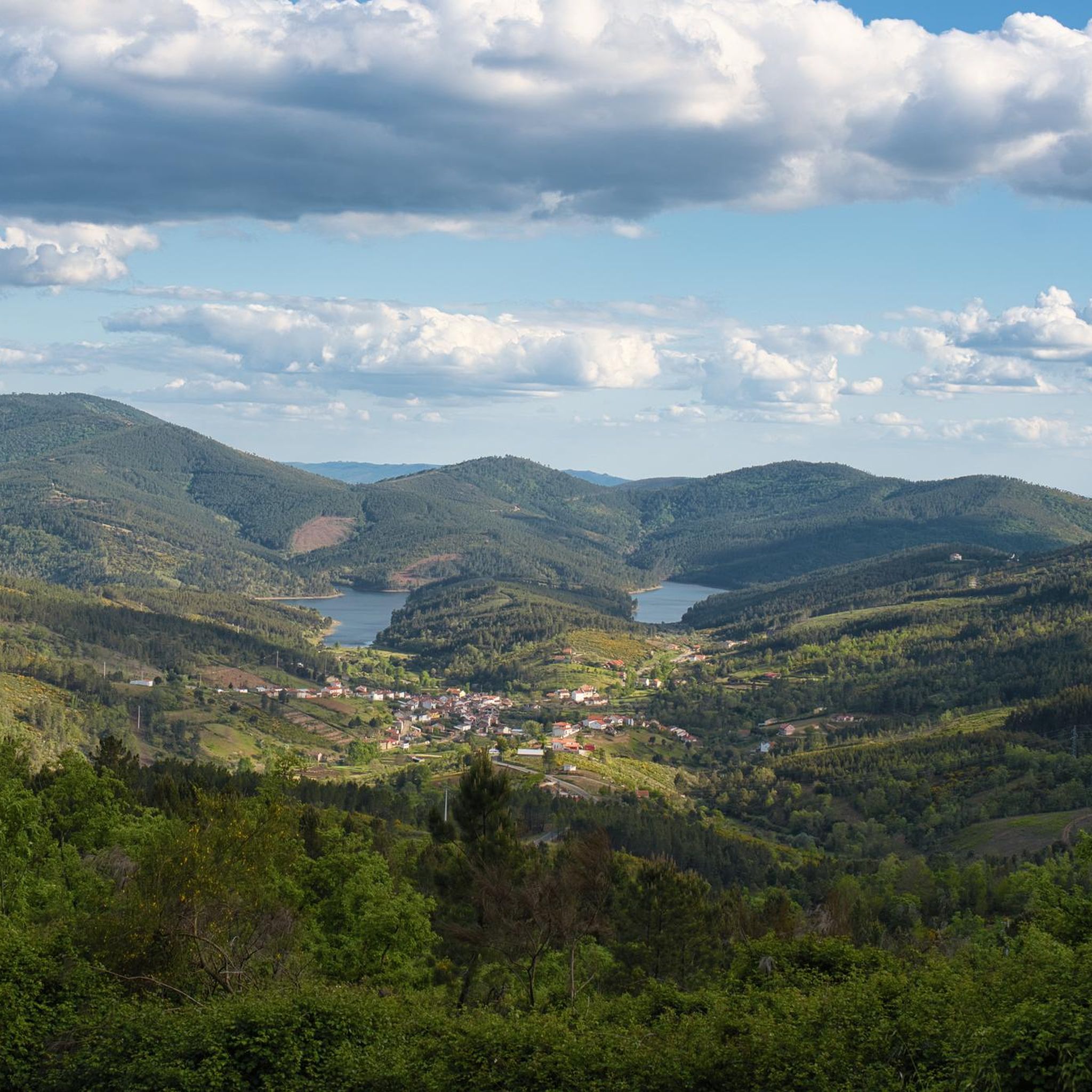
At the Meimoa Dam, the serene waters reflect the Malcata Mountains. Between shale hills and forests of strawberry trees, oaks, and chestnuts, wildlife lurks: from the soaring of golden eagles to the song of nightingales that shatter the silence of the mountains.
2
0
Among the secret corners of Portugal, the Côa River is a discreet treasure. It rises in Fóios and flows through valleys and hills until it joins the Douro River in Vila Nova de Foz Côa. Even here, where it flows gently and seems like just a trickle, the valley reveals all its magic. It's the ideal place to rest for a moment, cool your feet, and let yourself be enveloped by the river's serenity before resuming your journey.
2
0

Built on the Côa River, its main function is the production of hydroelectric energy and, to a lesser extent, the water supply and regulation of the river flow. Completed in 2000, its creation gave rise to a reservoir that is partially located within the Serra da Malcata Nature Reserve, a protected area of great ecological importance
1
0
Here you cross a small asphalt bridge that connects the two banks of the river surrounded by vegetation and enter the Serra da Malcata nature reserve.
1
0

Frequently Asked Questions
What kind of terrain can I expect on touring cycling routes in Santo Estêvão and Moita?
The region offers a diverse landscape for touring cyclists, characterized by valleys, hills, and riverine areas. You'll find routes winding through picturesque agricultural lands, with a mix of paved roads and rural paths. Moita, near the Tagus River, features scenic views and areas with cork trees, while Santo Estêvão provides routes through historical sites and varied topography.
Are there touring cycling routes suitable for beginners or those looking for an easier ride?
While many routes in the area are classified as difficult, there are options for moderate skill levels. For example, the Meimoa Dam – Meimoa Reservoir loop from Praia Fluvial do Meimão is a moderate 14.7-mile path offering scenic views without extreme challenges.
What are some of the historical landmarks or points of interest I can see along the touring cycling routes?
Many routes pass by significant historical sites. You can explore the Historic Village of Sortelha, visit the impressive Sabugal Castle, or cross the historic Bridge over the Côa River. These attractions add a rich cultural dimension to your ride.
Are there any circular touring cycling routes available?
Yes, many of the touring cycling routes in Santo Estêvão and Moita are designed as loops. Examples include the challenging River Swimming Area in Malcata – Bridge over the Côa River loop from Águas Belas and the scenic Sabugal Castle – Sortelha Village and Castle loop from Sabugal e Aldeia de Santo António.
What is the best time of year to go touring cycling in Santo Estêvão and Moita?
The region's climate generally allows for cycling throughout much of the year. However, spring and autumn often provide the most comfortable temperatures for longer rides. Summers can be hot, especially in the Alentejo region, while winters are typically mild but can bring some rain.
What do other touring cyclists enjoy most about cycling in Santo Estêvão and Moita?
The area is highly rated by the komoot community, with an average score of 3.0 stars. Reviewers often praise the varied terrain, from riverine landscapes to historical villages, and the mix of challenging and moderate routes that cater to different abilities.
Are there any routes that offer views of water bodies or river beaches?
Absolutely. The region is known for its riverine areas. You can explore routes that feature the Tagus River near Moita, or visit the Meimoa River Beach. The Meimoa Dam – Meimoa Reservoir loop from Praia Fluvial do Meimão also offers beautiful views of the reservoir.
How many touring cycling routes are available in Santo Estêvão and Moita?
There are over a dozen touring cycling routes available in the Santo Estêvão and Moita region, offering a wide range of experiences from moderate to difficult, and varying in length and elevation gain.
Can I find routes that are particularly challenging for experienced touring cyclists?
Yes, the region is well-suited for experienced cyclists seeking a challenge. Many routes feature significant elevation gains and varied terrain. For instance, the River Swimming Area in Malcata – Sortelha Village and Castle loop from Sabugal e Aldeia de Santo António is a difficult 51.4-mile route with over 1000 meters of elevation gain.
Are there any specific routes that highlight the natural beauty of the region, such as cork trees or river ecosystems?
The broader Alentejo region, encompassing parts of Moita, is known for its beautiful landscapes, including areas with cork trees. While specific routes aren't named for these features, many paths wind through agricultural lands and riverine areas, offering glimpses of the diverse flora and fauna, including river stream ecosystems.
What is the longest touring cycling route in the area?
One of the longer and more challenging routes is the River Swimming Area in Malcata – Sortelha Village and Castle loop from Sabugal e Aldeia de Santo António, which spans 51.4 miles and involves substantial elevation changes, making it a demanding ride for experienced cyclists.
Most popular routes around Santo Estêvão e Moita e Moita e Moita
Most popular attractions around Santo Estêvão e Moita e Moita e Moita

Get inspired with the komoot mobile app


Explore more
Browse the best Cycling routes in other regions.
