The best road cycling routes around Sabugueiro
4.7
(22)
1,482
riders
48
rides
Road cycling around Sabugueiro offers routes through the mountainous terrain of the Serra da Estrela, Portugal's highest mountain range. The region is characterized by significant elevation changes, with routes often ascending to high plateaus and passing by glacial valleys and lagoons. Road cyclists can expect challenging climbs and descents, with views of granite formations and sparse alpine vegetation at higher altitudes.
Best road cycling routes around Sabugueiro
- The most popular road cycling route is Loop tour from Manteigas in the…
Last updated: October 11, 2026
5.0
(3)
216
riders
70.7km
04:35
1,910m
1,910m
Hard road ride. Very good fitness required. Mostly well-paved surfaces and easy to ride.
18
riders
83.7km
04:54
1,970m
1,970m
Hard road ride. Very good fitness required. Mostly well-paved surfaces and easy to ride.

38
riders
20.0km
01:20
620m
620m
Moderate road ride. Good fitness required. Mostly well-paved surfaces and easy to ride.
4.5
(2)
107
riders
37.8km
02:23
1,090m
1,090m
Hard road ride. Very good fitness required. Mostly well-paved surfaces and easy to ride.
55
riders
122km
07:24
3,210m
3,210m
Hard road ride. Very good fitness required. Mostly well-paved surfaces and easy to ride.
Get access to more routes and recommendations from other explorers.
Already have an account?
Our route recommendations are based on thousands of hikes, rides, and runs completed by other people on komoot.
Start today with a free account
Your next adventure awaits.
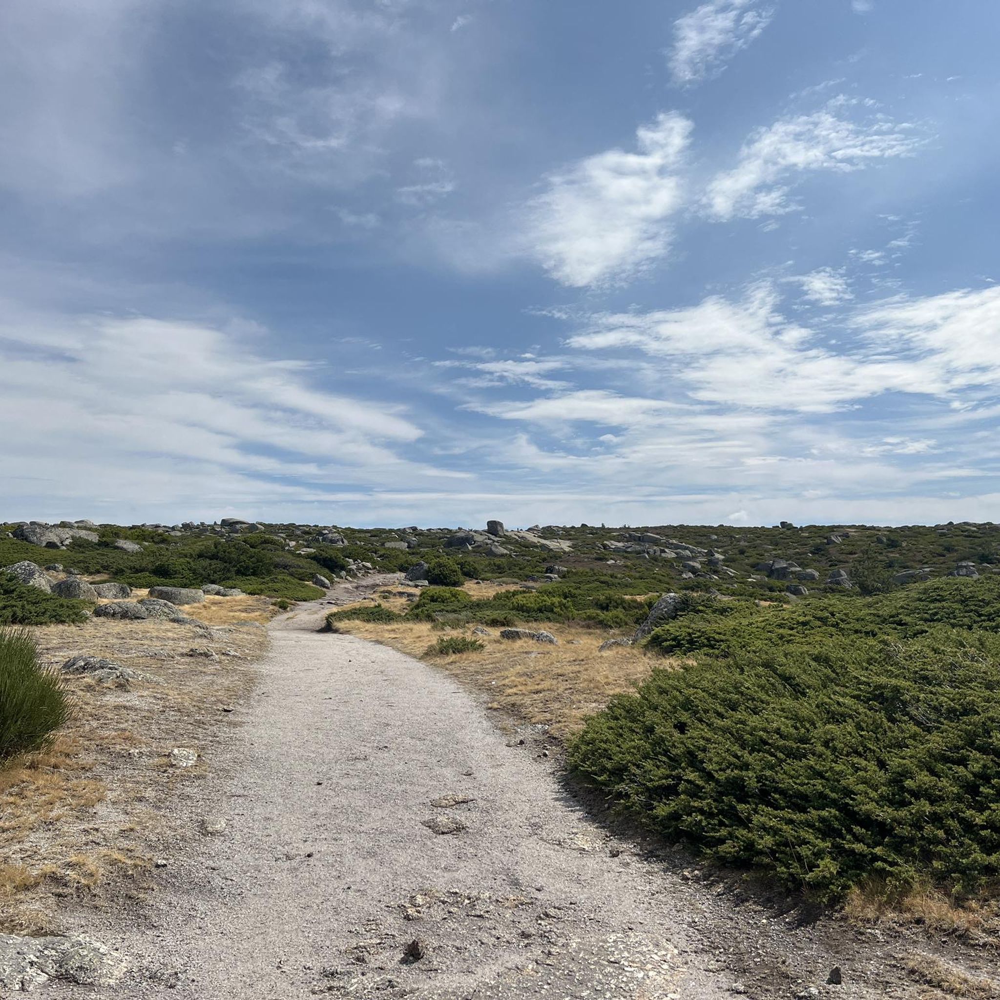
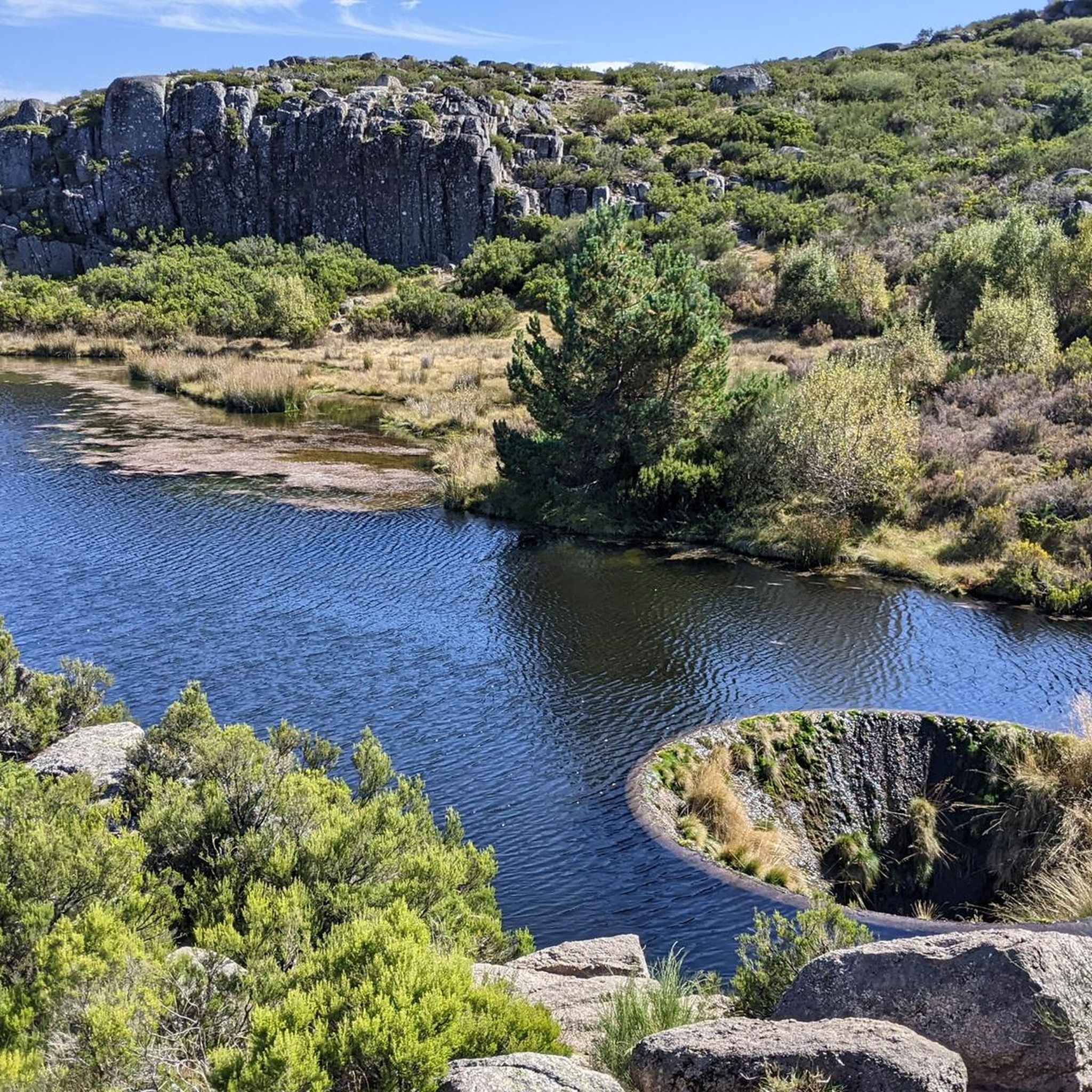
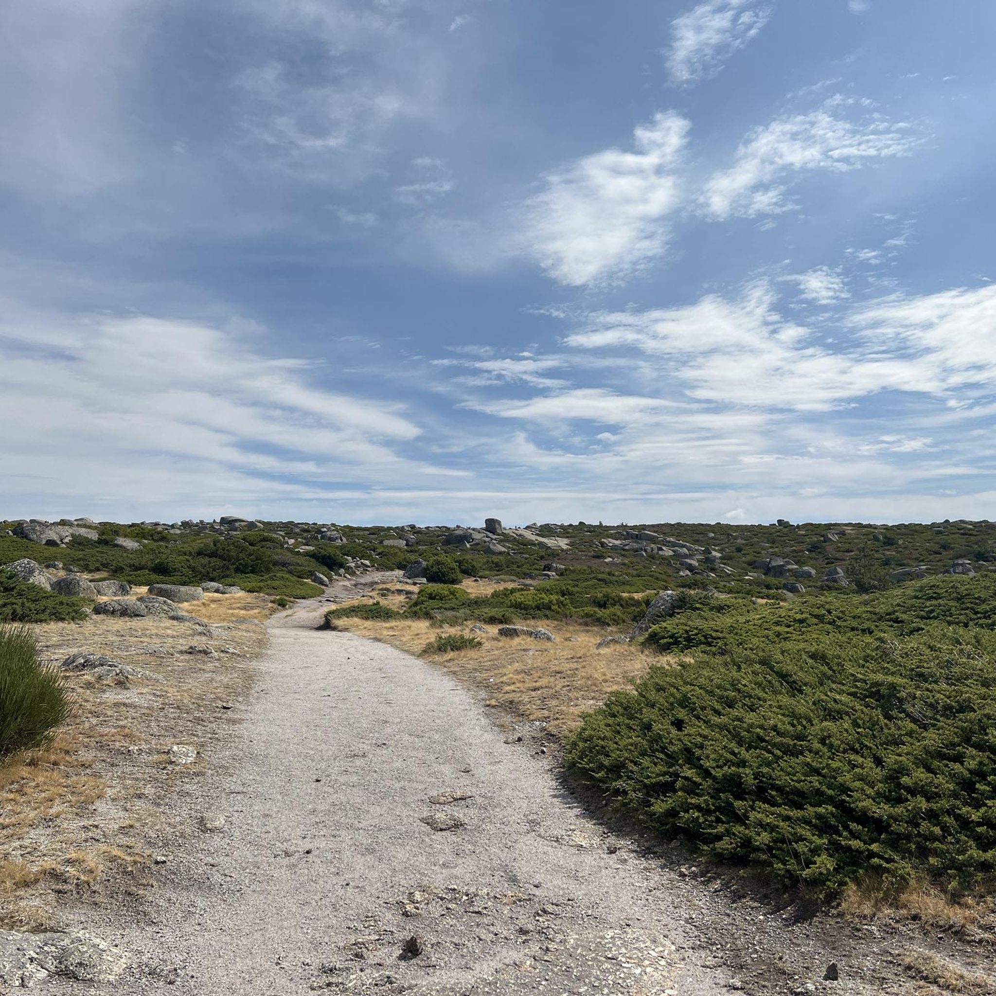
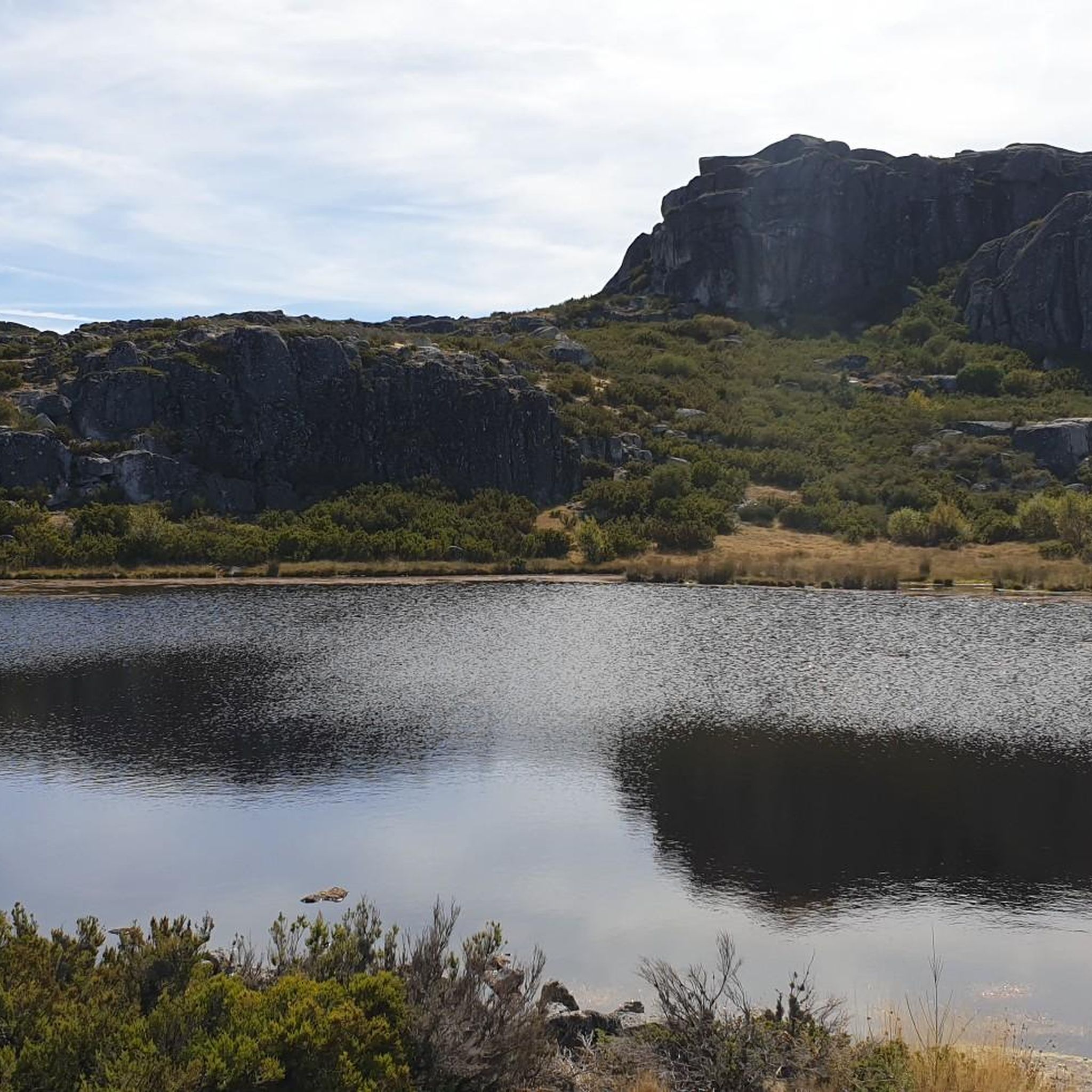
Tips from the Community

Centrally located in the park and easily accessible via a beautiful, paved road is the Torre. This is the highest point of the Serra da Estrela mountain range; nowhere in continental Portugal can you go higher. Actually, the highest point is at 1,993 meters. A small tower of 7 meters on top of the mountain completes the 2,000 meters.
7
0

The Torre is the highest point of Continental Portugal, at 1,993 meters above sea level. It is located in the heart of the Serra da Estrela Natural Park and serves as the dividing line between the municipalities of Seia, Manteigas, and Covilhã. To reach the round 2,000 meters, King D. João VI had a stone monument built at the top of the plateau in the early 19th century.👍🥾
0
0
Cântaro Magro is one of the "commonplaces" of the Serra da Estrela mountain range, whose summit rises to 1928 m altitude, deserving a visit at any time of year. Viewed from west to east, its silhouette resembles a pitcher. In summer, its rocky face is interrupted by small terraces of soil, where some of the rarest botanical jewels of the mountain range grow. In winter, it is covered in snow and ice which, as they melt, form ephemeral waterfalls. These recall the overflowing liquid from the pitchers carried on the heads of women when, in the past, they went to the fountains. #CISE #VisitSeia #ParqueNaturaldaSerradaEstrela
0
0


Sabugueiro, the village vying for the title of highest in Portugal, is also one of the most authentic ambassadors of mountain life. Among granite houses and comforting flavors (cheese, sausages, roast kid, and honey), you can find the warmth of blankets and burel coats and the company of the faithful Serra da Estrela mountain dogs. Surrounding waterfalls, streams, and lakes remind you that here, nature is as generous as the table.
3
0

The Serra da Estrela Natural Park is something truly special. This 1,000-square-kilometer park, spread across six municipalities, was the first and currently the largest protected natural park in Portugal. It is home to the highest point on the Portuguese mainland, the country's only ski slope, the source of two important rivers, and a fascinating, alpine-like landscape formed by glaciers.
5
1
Serra da Estrela Cheese is a Portuguese cheese made from sheep's milk and has a protected designation of origin. The earliest mention of this cheese dates back to the 12th century, making it the oldest Portuguese cheese. It is one of the most famous sheep's milk cheeses in the world. I recommend it 👍 Wikipedia
1
0
Frequently Asked Questions
What is the general difficulty level of road cycling routes around Sabugueiro?
Road cycling around Sabugueiro is characterized by significant elevation changes and challenging mountain passes, making most routes suitable for advanced cyclists. The region, part of the Serra da Estrela, offers demanding climbs and descents through its mountainous terrain. Out of 49 available routes, 40 are classified as difficult, with the remaining 9 being moderate.
Are there any beginner-friendly road cycling routes in Sabugueiro?
Due to the mountainous nature of the Serra da Estrela, Sabugueiro's road cycling routes are primarily challenging. There are no routes classified as easy, and only 9 out of 49 routes are considered moderate. Cyclists new to the area or seeking less strenuous rides should be prepared for substantial elevation changes even on moderate paths.
What kind of distances can I expect on road cycling routes near Sabugueiro?
Routes vary in length, catering to different endurance levels. For instance, the Covão do Ferro Lagoon – Serra da Estrela loop from Sabugueiro is a 23.5-mile (37.8 km) ride, while the Serra da Estrela Loop from Manteigas extends to 52.0 miles (83.7 km). The longest route, Cântaro Magro – Serra da Estrela loop from Seia, covers approximately 75.8 miles (122 km).
Are there circular road cycling routes available from Sabugueiro?
Yes, many road cycling routes in the Sabugueiro area are designed as loops, allowing you to start and finish in the same location. An example is the Covão do Ferro Lagoon – Serra da Estrela loop from Sabugueiro, which offers a scenic circular journey through mountainous terrain.
What is the best time of year for road biking in Sabugueiro?
The best time for road biking in Sabugueiro is typically from late spring to early autumn (May to October). During these months, the weather is generally more stable, with warmer temperatures and less chance of snow at higher altitudes. Summer offers long daylight hours, but be prepared for potentially hot conditions in lower areas and cooler temperatures at elevation.
What can I see along the road cycling routes around Sabugueiro?
Road cycling routes in Sabugueiro offer stunning views of the Serra da Estrela's natural beauty. You can encounter impressive granite formations, glacial valleys, and lagoons. Notable attractions include the Hidden cascade at Poço do Inferno, the Rock Passage in the Serra da Estrela Natural Park, and various viewpoints like the View of the Zêzere Glacial Valley.
Are there any waterfalls or wild swimming spots near the road cycling routes?
Yes, the region is known for its natural water features. You can find waterfalls such as the Poço da Broca de Serapitel and the Waterfall and natural swimming pool in Parque Natural da Serra da Estrela. The Lapa dos Dinheiros River Beach also offers a refreshing spot for a dip.
What do other road cyclists enjoy the most about road cycling in Sabugueiro?
The road cycling experience in Sabugueiro is highly rated by the komoot community, with an average score of 4.6 stars from over 10 reviews. Cyclists frequently praise the challenging mountain passes, the extensive views across the Serra da Estrela landscape, and the unique experience of riding through high-altitude plateaus and glacial valleys.
Are there any family-friendly road bike trails in Sabugueiro?
Given the significant elevation changes and the classification of most routes as difficult or moderate, Sabugueiro's road cycling trails are generally not considered family-friendly for younger or less experienced riders. The terrain is better suited for cyclists seeking a challenging mountain biking experience.
Where can I find parking for road bike trails in Sabugueiro?
Sabugueiro, being a village within the Serra da Estrela Natural Park, typically offers parking options within the village itself or at designated trailheads for popular routes. Specific parking information can often be found in the detailed route descriptions on komoot, or by checking local signage upon arrival.
Are there cafes or places to refuel along the road cycling routes?
While the higher, more remote sections of the Serra da Estrela may have limited services, villages like Sabugueiro and Manteigas, which serve as common starting points or pass-throughs for routes, offer cafes and restaurants. It's advisable to plan your route and carry sufficient water and snacks, especially for longer rides in more isolated areas.
How many road cycling routes are available around Sabugueiro?
There are 49 road cycling routes available around Sabugueiro. These routes primarily traverse the mountainous terrain of the Serra da Estrela, offering a range of challenging experiences for cyclists.
Most popular routes around Sabugueiro
Most popular attractions around Sabugueiro

Get inspired with the komoot mobile app


Explore more
Browse the best Road cycling routes in other regions.
