The best walks and hikes around Moita
4.4
(37)
176
hikers
20
hikes
Hiking around Moita Portugal offers routes along the Tagus River estuary, characterized by serene riverside landscapes and fertile river banks. The area features diverse wildlife, including various bird species, and vegetation such as reeds, willows, and poplars. While extensive mountain ranges are not present, the municipality provides accessible trails and green spaces like the Municipal Park of Moita. The recovered waterfront and proximity to the Tagus River define much of the region's outdoor appeal.
Best hiking trails around Moita
- The…
Last updated: June 24, 2026
4.6
(16)
72
hikers
Easy hike. Great for any fitness level. Easily-accessible paths. Suitable for all skill levels.
4.3
(4)
12
hikers
10.5km
02:47
100m
100m
Moderate hike. Good fitness required. Easily-accessible paths. Suitable for all skill levels.

Sign up for free
4.0
(2)
11
hikers
10.4km
02:47
110m
110m
Moderate hike. Good fitness required. Mostly accessible paths. Sure-footedness required.
5.0
(1)
13
hikers
Easy hike. Great for any fitness level. Easily-accessible paths. Suitable for all skill levels.
3.0
(1)
9
hikers
6.29km
01:38
40m
40m
Moderate hike. Great for any fitness level. Mostly accessible paths. Sure-footedness required.
Get access to more routes and recommendations from other explorers.
Sign up for free
Already have an account?
Our route recommendations are based on thousands of hikes, rides, and runs completed by other people on komoot.
Start today with a free account
Your next adventure awaits.
Login or Signup

Tips from the Community

Some sections are not or less passable due to storm damage. Storm from winter 2026.
0
0

The lighthouse is managed by the National Maritime Authority. Public visits are generally permitted on specific days and at limited times. Opening hours: Traditionally, the lighthouse is open for free visits on Wednesdays in the afternoon (between 2:00 pm and 5:00 pm, local time).
2
0
Function: It is a coastal lighthouse, with a luminous range of 30 nautical miles (approximately 55 km). Landscape: The location is a natural viewpoint of great beauty, much sought after for enjoying the ocean view and the sunset. The surrounding area has pedestrian and cycle paths that connect to other beaches in the region.
1
0
Location: Parish of São Pedro de Moel, Marinha Grande, Portugal. Establishment: Began operating on February 15, 1912. Structure: It has a quadrangular stone tower 32 meters high and an attached building. The exterior and interior are covered with reddish-brown tiles, a unique feature.
1
0
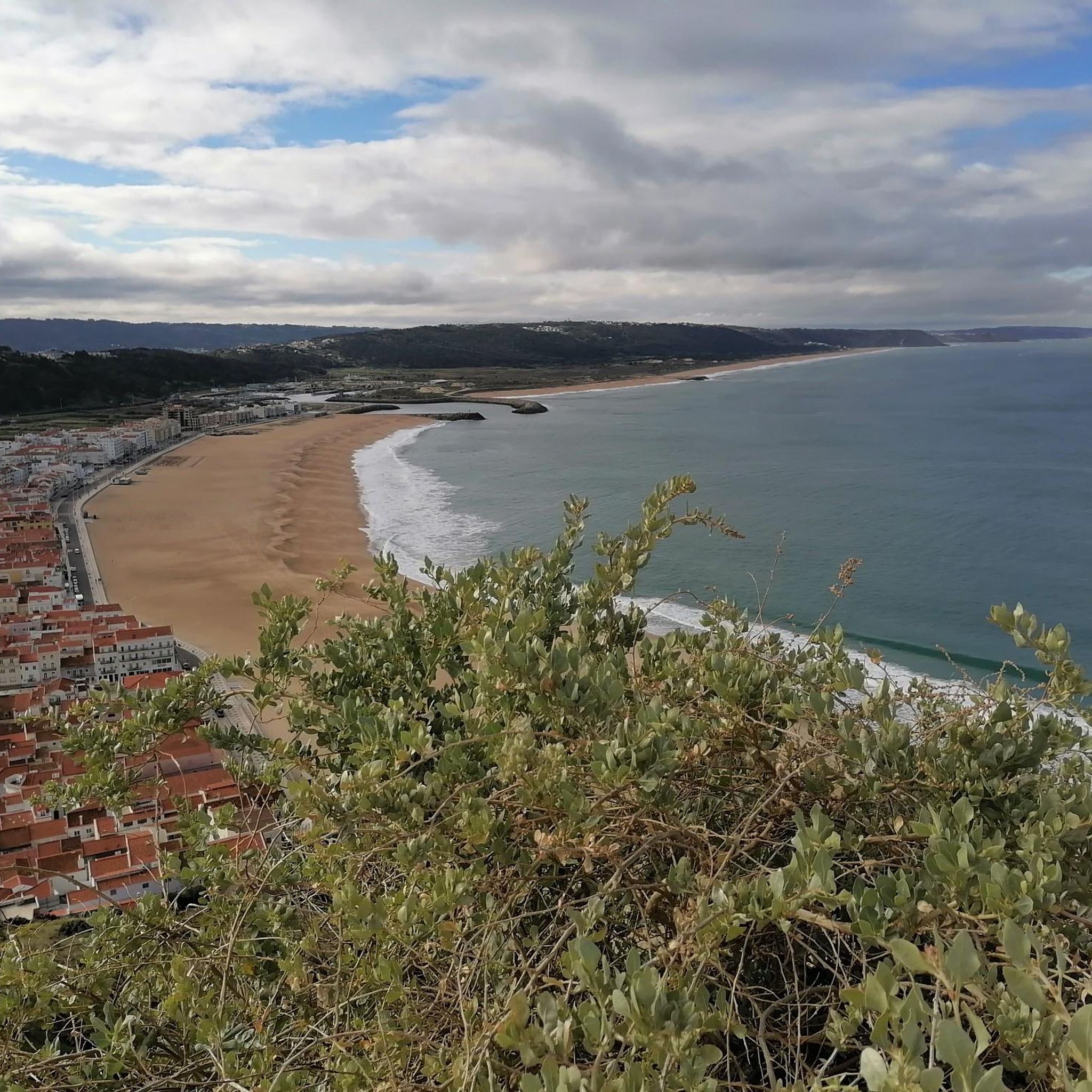
The Penedo da Saudade Lighthouse is an emblematic Portuguese lighthouse located in São Pedro de Moel, in the municipality of Marinha Grande, district of Leiria. It stands imposingly on a cliff, offering spectacular views of the Atlantic coast.
1
0
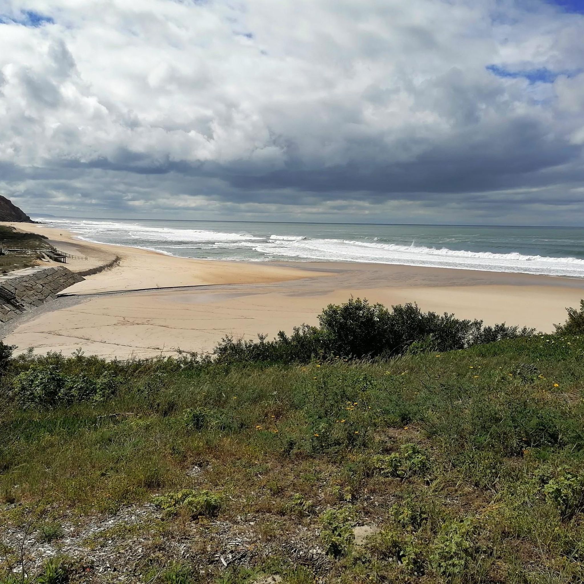
Praia Velha is a beach located in the parish of São Pedro de Moel, in the municipality of Marinha Grande, district of Leiria, in Portugal. Characteristics: It is known for its extensive sandy area and fantastic dunes with vegetation. It has wooden walkways that facilitate access and is considered a quiet beach, suitable for both swimming and relaxing walks. It is a family beach, with good conditions for children, sometimes including a stretch of freshwater with fewer waves.
1
0
Moderate bike ride. Requires good physical fitness. Mostly paved terrain. Suitable for all levels.
2
0
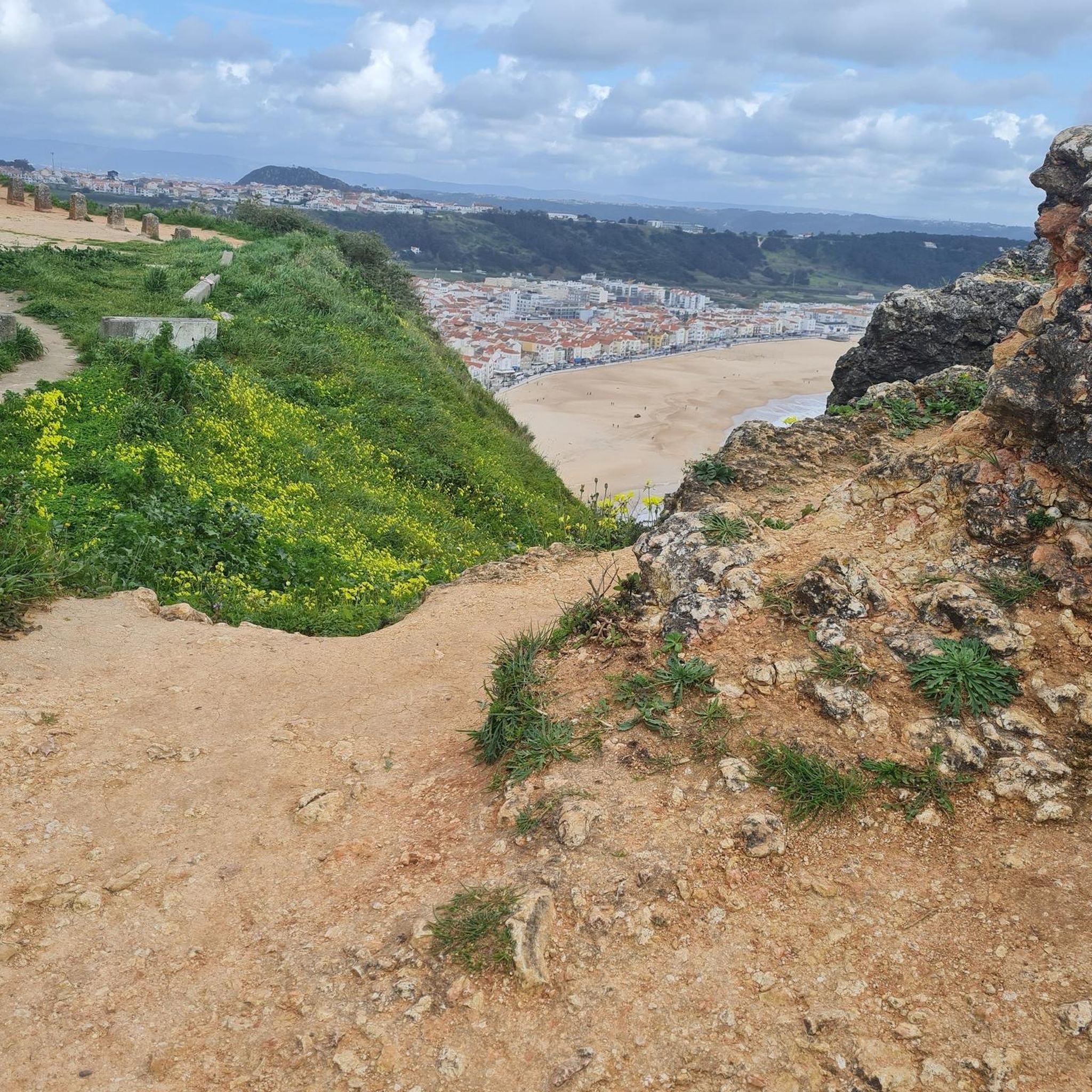
There is no official or tourist viewpoint specifically named "Miradouro Praia da Polvoeira". However, the area's topography itself, with its high cliffs, offers excellent panoramic views over Praia da Polvoeira and the Atlantic Ocean.
2
0
Frequently Asked Questions
How many hiking trails are available around Moita?
There are over 20 hiking routes around Moita, offering a variety of experiences. These include 11 easy trails and 13 moderate trails, ensuring options for different fitness levels.
What kind of landscapes can I expect to see while hiking in Moita?
Hiking in Moita primarily features serene riverside landscapes along the Tagus River estuary. You'll find picturesque river banks, cultivated fields, and diverse flora like reeds, willows, and poplars. The area also offers coastal paths with elevated viewpoints, providing scenic perspectives of the coastline and natural surroundings.
Are there any easy, family-friendly hiking options in Moita?
Yes, Moita offers several easy trails suitable for families. An excellent option is the Praia da Concha – Penedo da Saudade Lighthouse loop from Farol do Penedo da Saudade, which is 5.68 km long and can be completed in about 1 hour 29 minutes. The Municipal Park of Moita also provides nearly 4,000 square meters of green space ideal for walking and family outings.
What interesting landmarks or viewpoints can I find along the hiking trails?
Many trails in Moita offer access to notable landmarks and viewpoints. You can visit the Penedo da Saudade Lighthouse, explore the Lighthouse and Fishermen's Bay, or enjoy coastal views from the Praia da Polvoeira panoramic viewpoint. The Praia Velha beach is also a popular spot along some routes.
What do other hikers enjoy most about hiking in Moita?
The hiking trails in Moita are highly rated by the komoot community, with an average score of 4.4 stars from over 30 reviews. Hikers often praise the diverse terrain, which includes both riverside environments and coastal paths, as well as the opportunities to explore areas rich in flora and fauna.
Are there any circular hiking routes in the Moita area?
Yes, many of the trails in Moita are circular, offering convenient starting and ending points. For example, the Praia Velha – Penedo da Saudade Lighthouse loop from São Pedro de Moel is an easy 7.55 km circular route, and the moderate Coastal Viewpoint loop from Paredes de Vitória covers 10.5 km.
What kind of wildlife might I encounter on the trails in Moita?
The riverside environment of Moita, particularly along the Tagus estuary, is home to diverse wildlife. Hikers might spot water lizards, common frogs, and otters. The area is also known for various bird species, including herons and storks, making it interesting for birdwatching.
What is the best time of year to go hiking in Moita?
Moita's mild climate makes it suitable for hiking for much of the year. Spring and autumn generally offer the most pleasant temperatures for outdoor activities. Summer can be warm, but coastal and riverside trails often provide refreshing breezes. Winter hiking is also possible, though some trails might be wetter.
Are there any longer, more challenging hiking routes for experienced hikers?
While Moita does not have trails classified as 'difficult' in the komoot guide, there are several moderate routes that offer a good challenge. The Penedo da Saudade Lighthouse – Praia Velha loop from Farol do Penedo da Saudade is a moderate 12.16 km trail, typically taking over 3 hours to complete, providing a longer excursion with varied coastal scenery.
Can I combine hiking with other activities in Moita?
Absolutely. The Moita Quay, with its colorful boats, serves as a starting point for tourist trips on the Tagus River, allowing you to appreciate the natural surroundings from the water. Additionally, the Sítio das Marinhas, a salt marsh area with an Environmental Interpretation Center, offers insights into the local ecosystem and traditional salt extraction, which can be integrated into a hiking experience.
What are the main natural features that define the hiking experience in Moita?
The primary natural feature is the Tagus River estuary, which shapes the serene riverside landscapes and offers views of its banks. The area is characterized by fertile river banks, diverse vegetation, and a rich variety of bird species. While dramatic mountain ranges are not present, the recovered waterfront and accessible trails provide a unique outdoor experience.
Are there any specific trails that offer good coastal views?
Yes, several trails provide excellent coastal views. The Coastal Viewpoint loop from Paredes de Vitória is a moderate 10.5 km path specifically designed to offer elevated perspectives of the coastline and surrounding natural areas. Other routes like the Praia da Concha – Penedo da Saudade Lighthouse loop from Água de Madeiros also feature scenic coastal sections.
Most popular routes around Moita
Most popular attractions around Moita

Get inspired with the komoot mobile app


Explore more
Browse the best Hikes in other regions.
