The best road cycling routes around Sacramento
4.3
(100)
3,412
riders
81
rides
Road cycling routes around Sacramento are characterized by a blend of urban and natural environments, situated at the confluence of the American and Sacramento Rivers. The terrain primarily features flat river parkways and paved multi-use trails, offering extensive cycling opportunities. Beyond the immediate river areas, the landscape transitions to rolling hills in the Sierra foothills, oak woodlands, and agricultural lands, providing options for varied elevation. This diverse geography ensures a range of experiences for road cyclists.
Best road cycling routes…
Last updated: October 13, 2026
4.0
(2)
58
riders
12.8km
00:35
30m
30m
Easy road ride. Great for any fitness level. Mostly well-paved surfaces and easy to ride.
4.0
(1)
79
riders
23.2km
01:10
160m
160m
Easy road ride. Great for any fitness level. Mostly well-paved surfaces and easy to ride.

43
riders
22.0km
01:25
400m
400m
Moderate road ride. Good fitness required. Mostly well-paved surfaces and easy to ride.
3.0
(2)
39
riders
39.9km
01:59
490m
490m
Moderate road ride. Good fitness required. Mostly well-paved surfaces and easy to ride.
3.7
(3)
15
riders
17.6km
00:54
180m
180m
Easy road ride. Great for any fitness level. Mostly well-paved surfaces and easy to ride.
Get access to more routes and recommendations from other explorers.
Already have an account?
Our route recommendations are based on thousands of hikes, rides, and runs completed by other people on komoot.
Start today with a free account
Your next adventure awaits.
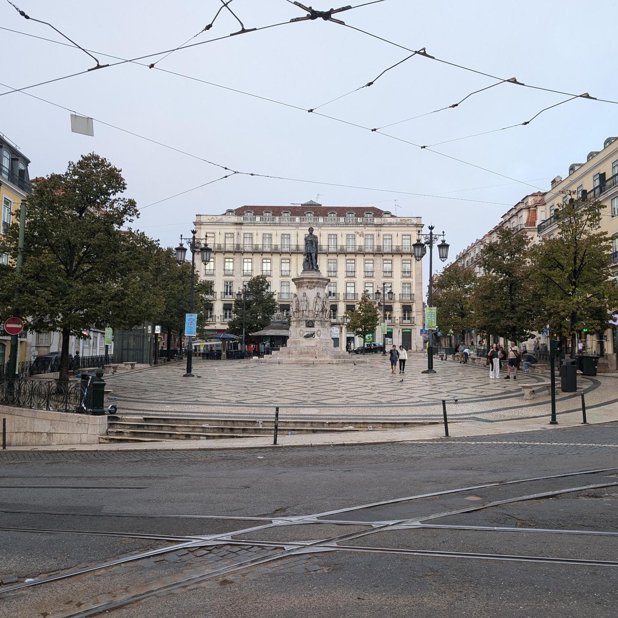

Tips from the Community

This building, often called the „Cathedral of Wine“, dates back to 1910 and owes its name to the size of its wine cellars and storage rooms. It is located near the docks where ships carrying wines from the Ribatejo region used to dock. Rooms for events.
2
0
The Museum of Art, Architecture and Technology (MAAT) is a museum in Lisbon and was opened in November 2016. The building by British architect Amanda Levete was completed on March 9, 2017, and is located directly on the banks of the Tagus River, immediately next to the industrial monument and electricity museum Central Tejo in the Belém district.
1
0

There are several areas where you can take a picture with Lisbon in yellow letters
1
0

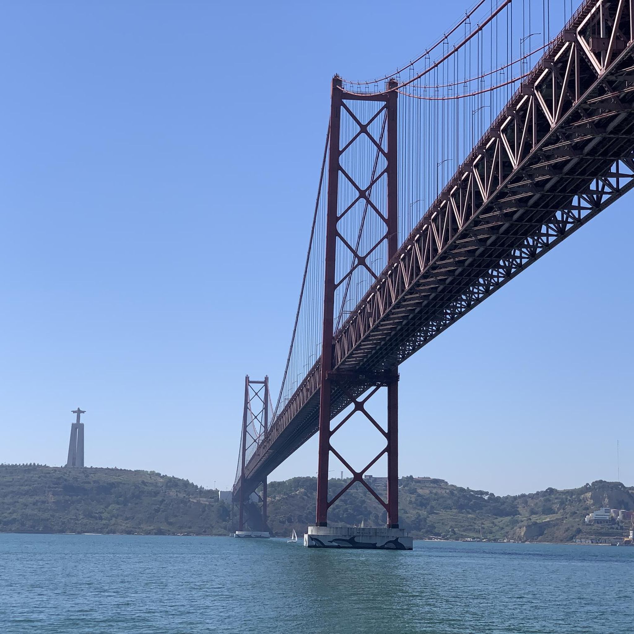
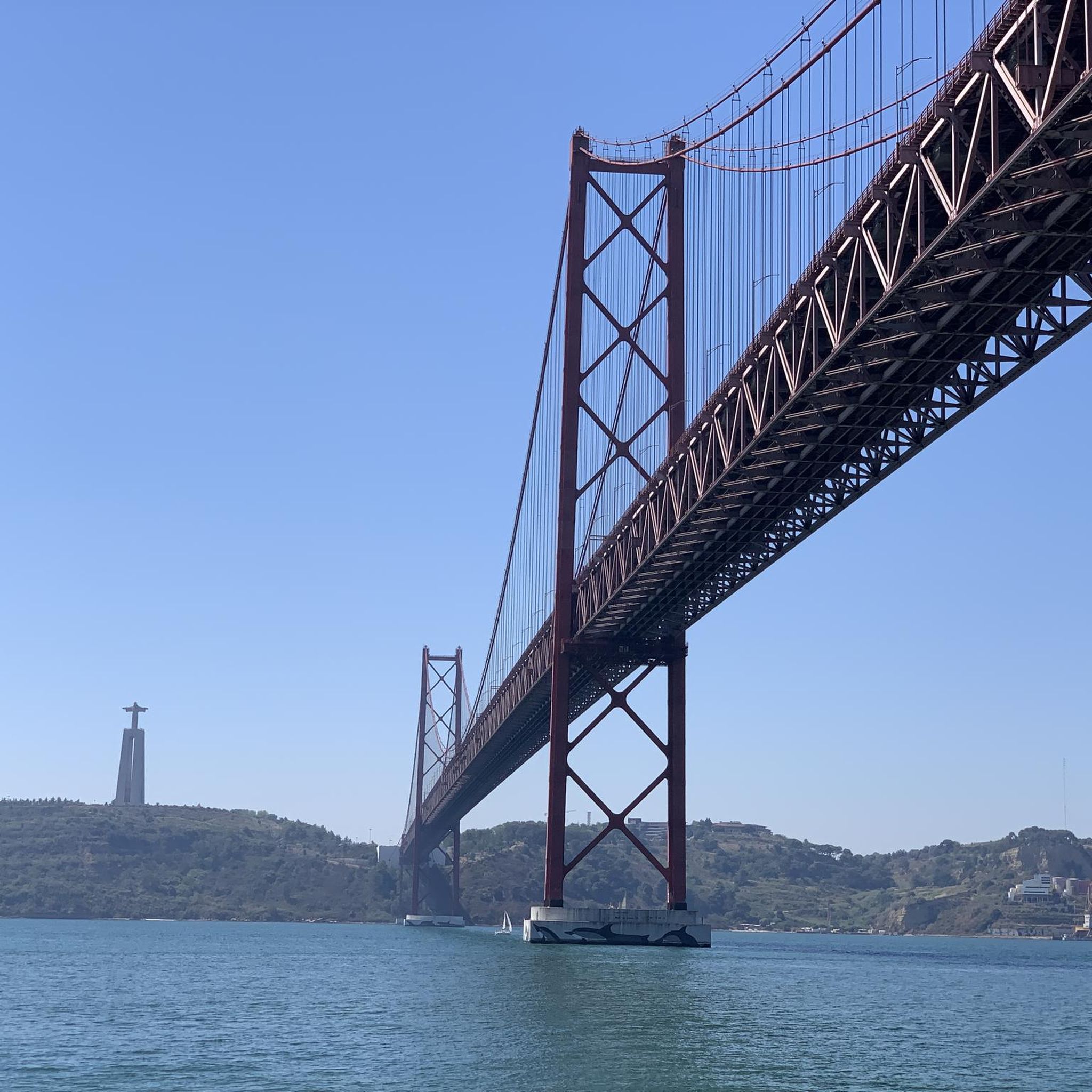
The roof is the perfect place to enjoy the sunset and a view of the famous bridge.
2
1
There's a fantastic viewing platform on the roof. The view over the Tagus riverbank and the bridge can be photographed from here in the evening light.
2
1

Praça do Comércio (Commerce Square, better known as Terreiro do Paço) was the site of Lisbon's Royal Palace for over 200 years. It is one of Lisbon's most important squares and, with a magnificent view of the Tagus estuary, is the city's nerve center.
2
0

Good for exchanging ideas and making friends...
2
0

In my opinion not just the best museum of Lisbon, but one of the best in Europe.
3
1
Frequently Asked Questions
How many road cycling routes are available around Sacramento?
There are over 80 road cycling routes around Sacramento, offering a wide range of options for different skill levels and preferences. The komoot community has explored these routes over 4000 times.
What kind of terrain can I expect on road cycling routes in Sacramento?
Sacramento's road cycling routes primarily feature flat river parkways and paved multi-use trails, especially along the American and Sacramento Rivers. For those seeking more challenge, the landscape transitions to rolling hills in the Sierra foothills, offering varied elevation and climbs.
When is the best time of year to go road cycling in Sacramento?
Sacramento boasts a favorable climate with over 250 days of sunshine annually, making it suitable for road cycling for much of the year. Spring and fall generally offer the most pleasant temperatures, though many routes are enjoyable in mild winter conditions and early mornings during summer.
What do other cyclists say about road cycling in Sacramento?
The road cycling routes in Sacramento are highly rated by the komoot community, with an average score of 4.2 stars from over 160 reviews. Cyclists often praise the extensive network of trails, scenic riverside views, and the diverse options available from flat, leisurely rides to more challenging climbs in the foothills.
Are there any long, paved multi-use trails suitable for road cycling in Sacramento?
Yes, the American River Parkway, also known as the Jedediah Smith Memorial Trail, is a world-class, 32-mile paved multi-use trail offering scenic riverside views and flat terrain. Another popular option is the Sacramento River Parkway, a 37.7-mile loop with views of the Sacramento River and Tower Bridge.
Where can I find more challenging, hilly road cycling routes near Sacramento?
For those seeking more challenging rides with climbs, areas beyond the immediate river parkways, such as the Sierra foothills, offer hilly terrain. Routes like "WP Beatty, Serrano, Double Shot/Chocolate Fish" provide more elevation gain. The Auburn State Recreation Area also features intermediate and challenging trails with sweeping views of foothill gorges.
Are there road cycling routes that offer views of lakes or rivers?
Absolutely. Sacramento's location at the confluence of the American and Sacramento Rivers provides abundant opportunities for waterside cycling. The Lake Natoma Trail is a paved, six-mile route along the southern shores of Lake Natoma, offering pleasant rides with views over the water. Folsom Lake also provides extensive biking trails with scenic views.
Can I find circular road cycling routes in the Sacramento area?
Yes, several circular routes are popular in the Sacramento area. The Sacramento River Parkway offers a 37.7-mile loop, and the Lake Natoma Loop is an 11-mile route that passes through a wetland area called the Mississippi Bar.
Are there family-friendly road cycling options in Sacramento?
Many of Sacramento's paved multi-use trails, particularly the flat sections of the American River Parkway and the Lake Natoma Trail, are suitable for families. These trails often have frequent access points, restrooms, and water fountains, making them ideal for leisurely rides with children.
What natural features and landmarks can I see along Sacramento's road cycling routes?
Sacramento's routes offer diverse scenery, including the confluence of the American and Sacramento Rivers, riparian environments, oak woodlands, and grasslands. You can also spot landmarks like the Tower Bridge and Old Sacramento Waterfront. For specific points of interest, consider exploring highlights such as View from the Rua Augusta Arch or Santa Justa Lift.
Are there any urban greenways or dedicated bike paths within Sacramento city limits?
Yes, Sacramento features numerous urban greenways and bike paths, including the Yolo Causeway Bike Path, Two Rivers Trail, and Clarksburg Branch Line Trail. The city has also expanded its network of bike lanes, including green-painted bicycling zones on Capitol Mall, providing diverse options for urban cyclists.
Where can I find information about parking or public transport access for Sacramento's bike trails?
Many of the major trails, such as the American River Parkway, have frequent access points with parking available. For specific details on parking and public transport options for individual trails, it's recommended to check local city or park service websites, or consult the komoot tour details for specific routes.
Are there places to stop for refreshments or amenities along the road cycling routes?
Yes, especially along popular routes like the American River Parkway, you'll find frequent access points that may lead to nearby amenities such as restrooms, water fountains, and picnic areas. Some routes also pass through or near urban areas where cafes, pubs, and other services are available.
Most popular attractions around Sacramento

Get inspired with the komoot mobile app


Explore more
Browse the best Road cycling routes in other regions.
