The best walks and hikes around Freiria
4.4
(323)
1,934
hikers
78
hikes
Hiking around Freiria, Portugal, offers a variety of trails within a landscape shaped by the Tapada Nacional de Mafra. This protected area features dense woodlands, varied topography, and natural watercourses. The terrain includes gentle hills and forest paths, providing diverse environments for outdoor activities.
Best hiking trails around Freiria
- The most popular hiking route is Tojeira (Green) Trail, a 5.3 miles (8.6 km) trail that takes 2 hours 25 minutes to complete. This moderate route traverses varied terrain within…
Last updated: October 11, 2026
4.6
(19)
138
hikers
8.58km
02:25
180m
180m
Moderate hike. Good fitness required. Easily-accessible paths. Suitable for all skill levels.
4.6
(10)
47
hikers
8.31km
02:18
140m
140m
Moderate hike. Good fitness required. Easily-accessible paths. Suitable for all skill levels.

4.2
(10)
83
hikers
4.39km
01:09
40m
40m
Easy hike. Great for any fitness level. Easily-accessible paths. Suitable for all skill levels.
4.3
(7)
37
hikers
7.91km
02:15
180m
180m
Moderate hike. Good fitness required. Easily-accessible paths. Suitable for all skill levels.
5.0
(2)
7
hikers
11.7km
03:44
510m
520m
Moderate hike. Good fitness required. Easily-accessible paths. Suitable for all skill levels.
Get access to more routes and recommendations from other explorers.
Already have an account?
Our route recommendations are based on thousands of hikes, rides, and runs completed by other people on komoot.
Start today with a free account
Your next adventure awaits.
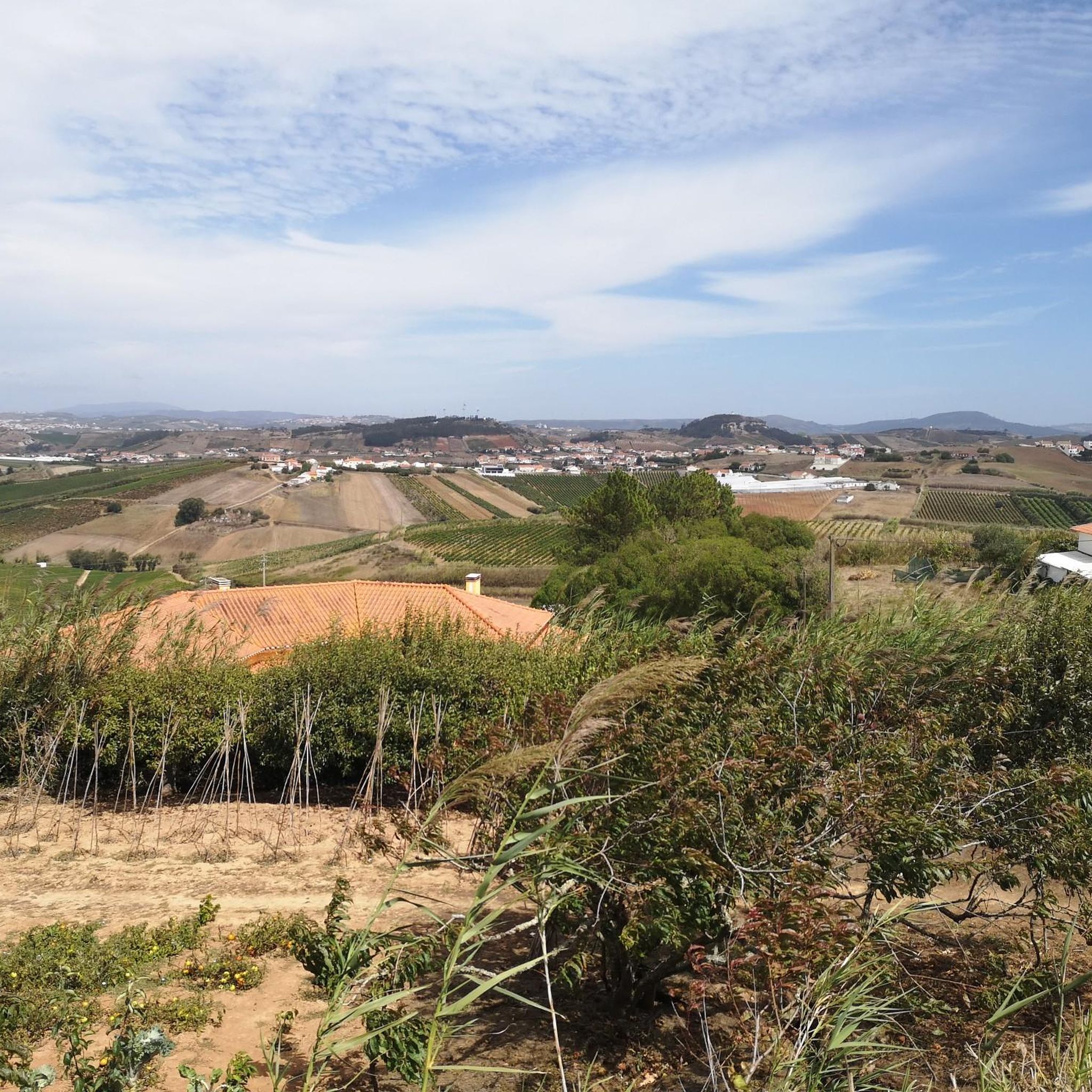
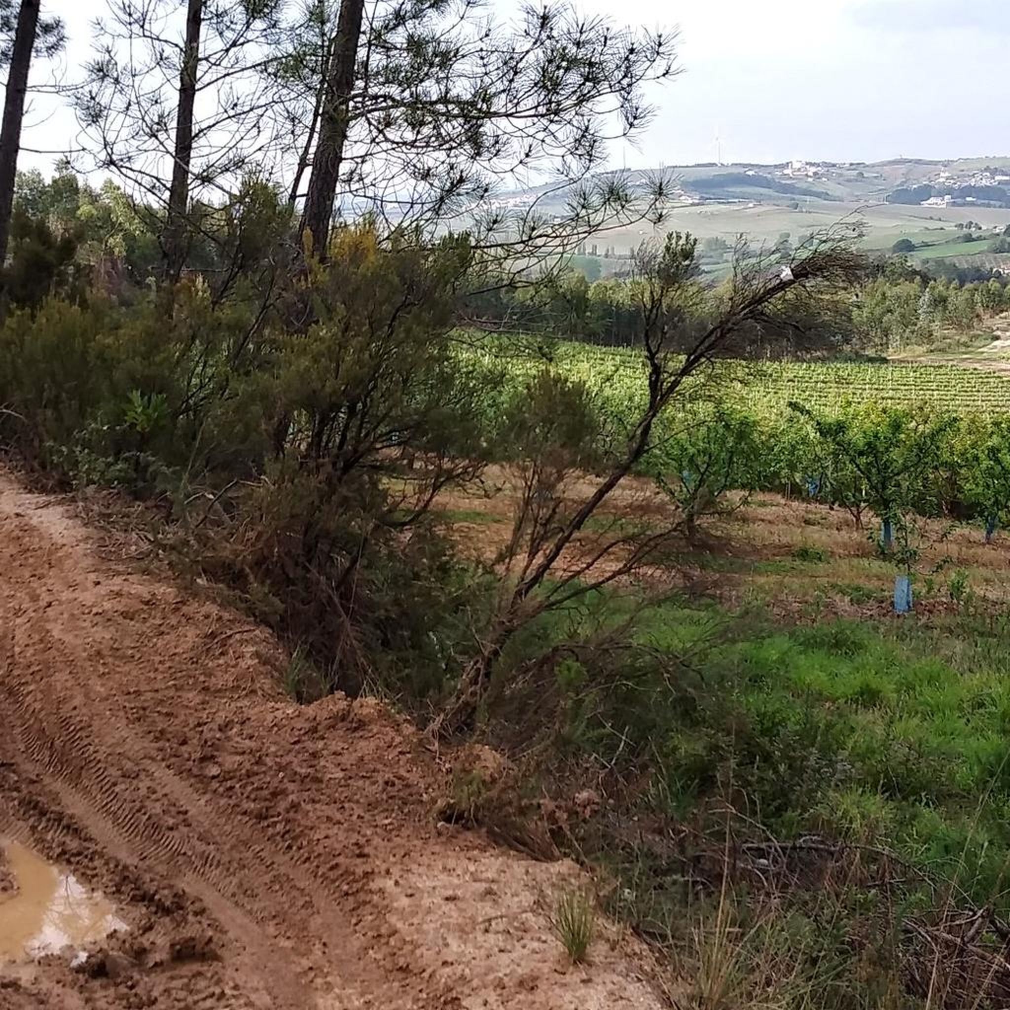
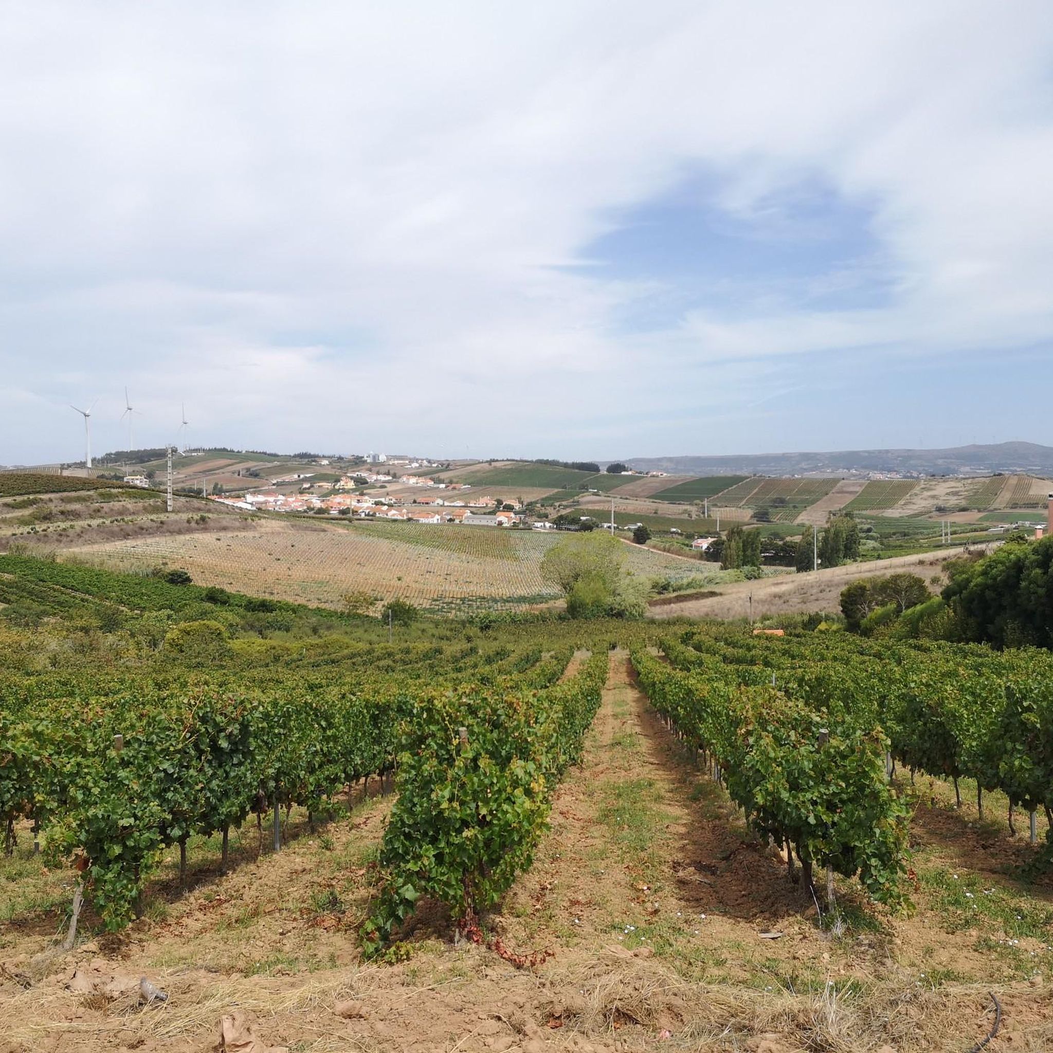

Tips from the Community

You can hike, drive through the park in an electric car or take a carriage ride. Advance reservation is advisable.
4
3

Old lime kiln in the center of Tapada de Mafra. It was built with the purpose of producing lime used to paint the external wall of the Tapada.
2
0
The Tapada Nacional de Mafra, created during the reign of João V in Portugal, is a royal park measuring more than 8 km², home to several species of animals and a diverse natural habitat. Used for hunting and leisure by the Portuguese monarchy, today it offers activities such as hiking, cycling, horse riding and archery. In 2019, it was classified as a UNESCO World Heritage Site.
3
1
Located at the top of the mountain, the Hermitage of Nossa Senhora do Socorro, originally a mosque, was converted into a Catholic temple by D. Afonso Henriques and rebuilt during the reign of D. Manuel I. It offers panoramic views and displays Manueline stones inside.
1
0
Very beautiful chapel with simple architecture in the center of the village of Furadouro. Largo da Capela - and its small car park - is an ideal point for exploring the Archeira mountain range.
0
0
Forte da Archeira, part of the Lines of Towers defensive north of Lisbon during the Peninsular War, is a military fortification located at an altitude of 345 m. It was part of the 1st Defensive Line with the forts of Catefica and Feiteira. Despite not having gunboats, it has traces of a magazine. It forms part of the Lines of Torres, a system of 152 fortifications stretching over 80 km, built between 1809 and 1812 to prevent the advance of Napoleonic troops.
2
0
Frequently Asked Questions
How many hiking trails are there around Freiria?
There are over 80 hiking trails around Freiria, offering a wide range of options for different skill levels. You'll find everything from easy strolls to more challenging routes within the region.
Are there easy hiking trails suitable for beginners or families in Freiria?
Yes, Freiria offers a good selection of easy trails. Approximately 32 of the routes are classified as easy. A great option for a relaxed walk is the Ribeirinho (Azul) trail in Tapada de Mafra, which is about 2.7 miles (4.4 km) long and takes just over an hour to complete.
Are there challenging hiking routes for experienced hikers in Freiria?
For more experienced hikers seeking a challenge, Freiria has 12 routes classified as difficult. These trails often feature more significant elevation changes and rugged terrain, providing a rewarding experience.
What is the typical length and duration of hikes around Freiria?
Hikes around Freiria vary in length and duration. Many popular routes, like the Tojeira (Green) Trail, are around 5 miles (8 km) and take about 2.5 hours. However, you can find shorter options, such as the Ribeirinho (Azul) trail, or longer routes like the Route of Charms (PR9 TVD), which is over 7 miles (11 km) and can take more than 3.5 hours.
What kind of natural attractions can I see along the hiking trails in Freiria?
The trails in Freiria often lead through the diverse landscapes of the Tapada Nacional de Mafra, featuring dense woodlands and natural watercourses. You can explore highlights such as the Tapada Nacional de Mafra itself, or visit the Alto da Vela Viewpoint for scenic vistas.
Are there any historical landmarks or points of interest near the hiking trails?
Yes, the region around Freiria is rich in history. You can find impressive sites like the Mafra National Palace, a magnificent Baroque complex, or explore the ruins of the Castelo de Torres Vedras. The Forte da Archeira is another historical site worth visiting.
Do I need a permit to hike in the Tapada Nacional de Mafra?
The Tapada Nacional de Mafra is a protected area. While many trails are accessible, it's advisable to check the official Tapada Nacional de Mafra website for current regulations regarding access, permits, or specific entry requirements, especially for certain zones or activities.
Can I bring my dog on the hiking trails in Freiria?
Regulations regarding dogs in protected areas like the Tapada Nacional de Mafra can vary. It's best to confirm the specific rules with the park authorities before bringing your dog, as some areas may have restrictions to protect wildlife.
What is the best time of year to hike around Freiria?
The best time to hike around Freiria is generally during spring (March to May) and autumn (September to November). During these seasons, the weather is mild and pleasant, and the natural scenery is particularly vibrant. Summers can be hot, while winters are typically mild but can be rainy.
Are there circular hiking routes available in Freiria?
Many of the trails in Freiria are designed as circular routes, allowing you to start and end at the same point without retracing your steps. The Taipas Trail (Red) in the National Tapada of Mafra is an example of a popular circular option.
What do other hikers enjoy the most about hiking in Freiria?
The area is highly rated by the komoot community, with an average score of 4.4 stars from over 200 reviews. Reviewers often praise the quiet woodlands, varied terrain, and the well-maintained paths within the Tapada Nacional de Mafra, highlighting the natural beauty and peaceful atmosphere.
Is parking available at the trailheads in Freiria?
For many of the popular trails, especially those within or near the Tapada Nacional de Mafra, designated parking areas are usually available. It's recommended to check specific route details on komoot for information on trailhead access and parking facilities.
Most popular attractions around Freiria

Get inspired with the komoot mobile app


Explore more
Browse the best Hikes in other regions.
