The best walks and hikes around Sobralinho
4.6
(124)
430
hikers
26
hikes
Hiking around Sobralinho offers access to diverse landscapes within the municipality of Vila Franca de Xira, Lisbon District. The region is characterized by its proximity to the Tagus Estuary Natural Reserve, encompassing wetlands, sandbanks, and agricultural areas. Cork oak forests are a notable feature, contributing to the local environment and biodiversity. The Tagus River forms a significant natural boundary, providing opportunities for riverside trails and views of the estuary.
Best hiking trails around Sobralinho
- The most popular hiking route is…
Last updated: October 11, 2026
4.8
(13)
81
hikers
9.76km
02:29
30m
30m
Moderate hike. Good fitness required. Easily-accessible paths. Suitable for all skill levels.
4.4
(5)
8
hikers
10.3km
03:03
310m
310m
Moderate hike. Good fitness required. Easily-accessible paths. Suitable for all skill levels.

4.9
(32)
58
hikers
Moderate hike. Good fitness required. Easily-accessible paths. Suitable for all skill levels.
4.8
(6)
34
hikers
Moderate hike. Good fitness required. Easily-accessible paths. Suitable for all skill levels.
5.0
(1)
39
hikers
4.66km
01:10
10m
10m
Easy hike. Great for any fitness level. Easily-accessible paths. Suitable for all skill levels.
Get access to more routes and recommendations from other explorers.
Already have an account?
Our route recommendations are based on thousands of hikes, rides, and runs completed by other people on komoot.
Start today with a free account
Your next adventure awaits.


Tips from the Community

The Tagus Estuary Nature Reserve (RNET) is located in an area of high natural richness and diversity. Covering approximately 14,415 hectares, it is integrated into the largest wetland area in Portugal – the Tagus Estuary, including estuarine waters, sandbanks, salt pans, agricultural land, and cork oak forests. The connectivity of these habitats ensures the presence of a great diversity of living beings, such as mollusks, crustaceans, and small amphibians. It is also a nursery for various species of marine fish and a very important ecosystem for migratory fish. The estuary is also of great importance to aquatic birds, being one of the places with the most wintering birds in Europe.
1
0

Constantino Palha Municipal Park is one of the main tourist attractions in Vila Franca de Xira, located next to the train station and the Tagus River. It occupies an area of 400 meters in front of the river and is considered the most charismatic garden in the city. Highlights: - Bandstand: a 19th-century bandstand is one of the park's main attractions, where cultural events frequently take place. - Lakes: the lakes are a characteristic element of the garden, adding a touch of serenity to the environment. - Playground: a fun area for children, making it a popular destination for families. - Cafeteria: offers a cozy place to relax and enjoy the river view. - Paths: the winding paths allow visitors to take pleasant walks through the garden, enjoying nature and the view of the Tagus River.
1
0

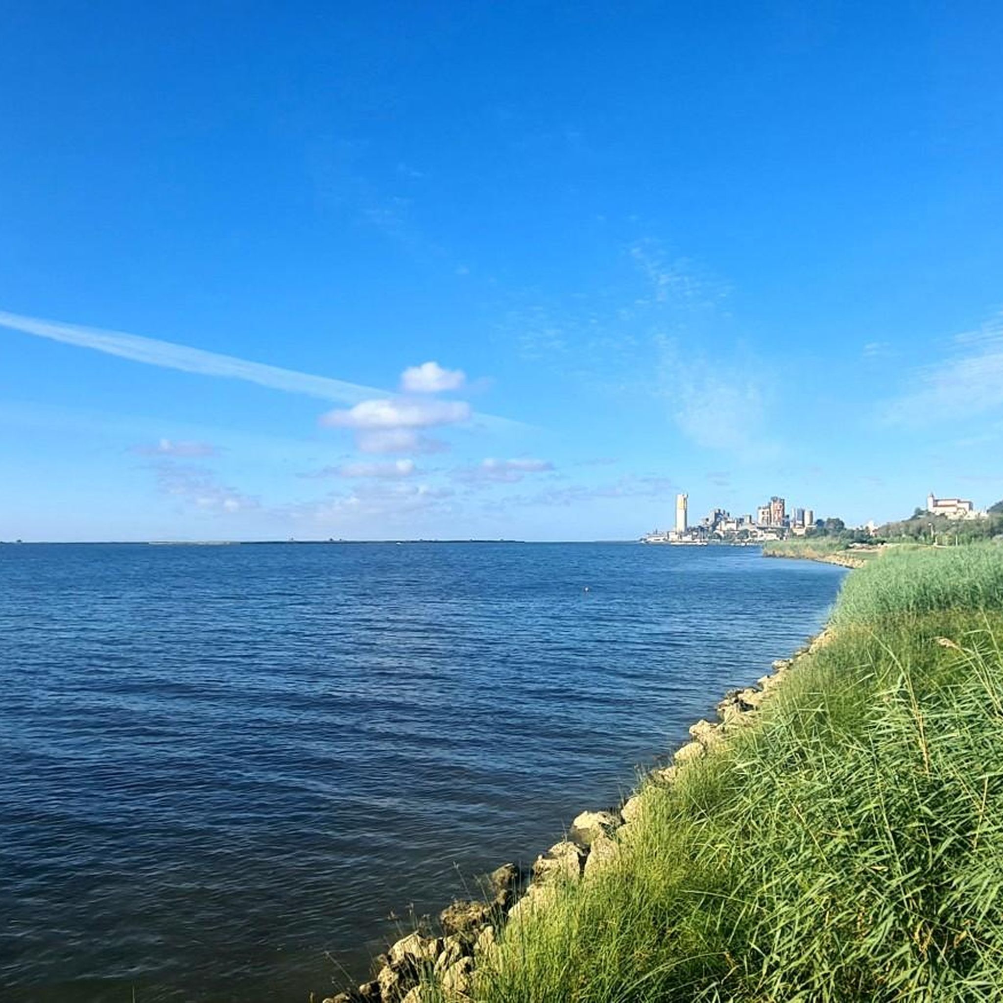
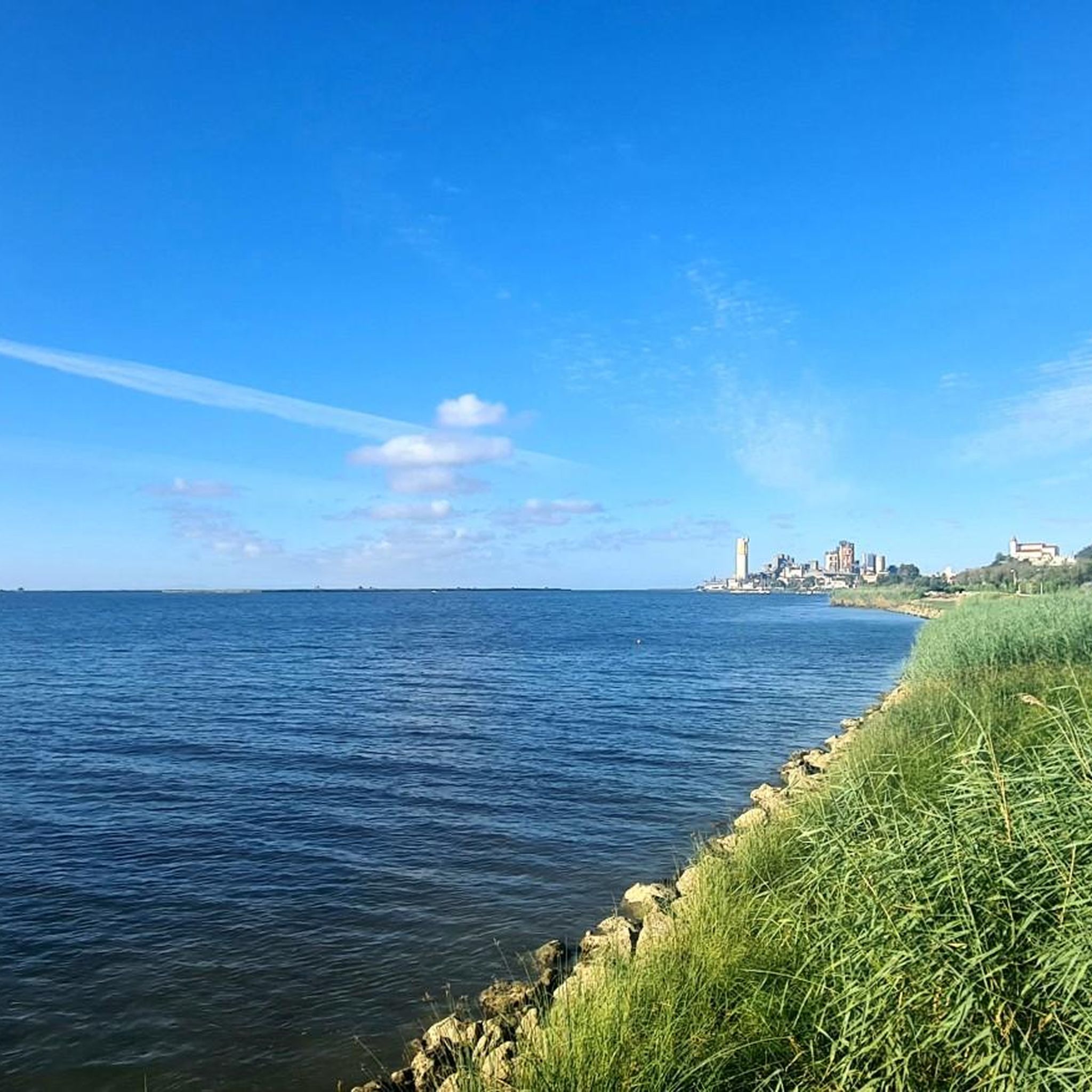
Wooden walkways along the river Tejo and the possibility to see the local wildlife, especially at sunset and sunrise, such as foxes, rabbits and field mise
0
0


The Loures Riverside Trail is made up of six kilometres of wooden walkways. It starts at the Trancão cycle-pedestrian bridge, which was opened at the end of July, and ends at the gates of the municipality of Vila Franca de Xira, where the Tagus Estuary Linear Trail begins (of which only a section remains to be built in Alverca). Along the six kilometres, there are several shaded and resting areas, with benches, and some birdwatching spots. There are also exits, which will allow, for example, to connect the walkways to the future Loures riverside green park, which will be built on the land that hosted the World Youth Day and which should be ready by the end of next year.
3
1
The Loures Riverside Trail is made up of six kilometres of wooden walkways. It starts at the Trancão cycle-pedestrian bridge, which was opened at the end of July, and ends at the gates of the municipality of Vila Franca de Xira, where the Tagus Estuary Linear Trail begins (of which only a section remains to be built in Alverca). Along the six kilometres, there are several shaded and resting areas, with benches, and some birdwatching spots. There are also exits, which will allow, for example, to connect the walkways to the future Loures riverside green park, which will be built on the land that hosted the World Youth Day and which should be ready by the end of next year.
2
1

Bar, public toilets, free beach volley field, and a beautiful view on river Tejo
1
0
Frequently Asked Questions
How many hiking trails are available around Sobralinho?
Sobralinho offers a good selection of hiking opportunities, with over 25 trails to explore. These routes cater to various fitness levels, including 10 easy and 16 moderate options.
What kind of natural landscapes can I expect to see while hiking in Sobralinho?
Hiking in Sobralinho provides access to diverse natural landscapes, primarily influenced by the Tagus Estuary. You'll encounter wetlands, sandbanks, and agricultural areas, which are part of the Tagus Estuary Natural Reserve. The region is also characterized by cork oak forests, contributing to its unique biodiversity and scenic beauty. The Pathway Through the Reeds – Tagus Estuary loop from Alverca do Ribatejo e Sobralinho is a great example of a trail offering estuary views.
Are there any family-friendly hiking options in Sobralinho?
Yes, Sobralinho offers several easy trails suitable for families. The area's flat riverside paths and parks provide gentle walking experiences. The nearby Alhandra Picnic Park, for instance, features gardens and playgrounds, making it ideal for family outings combined with short walks.
Can I bring my dog on the hiking trails in Sobralinho?
Many trails in the Sobralinho area, especially those along the Tagus River and in less sensitive natural areas, are generally dog-friendly. However, as parts of the region fall within the Tagus Estuary Natural Reserve, it's always advisable to keep dogs on a leash to protect local wildlife, particularly birds in wetland areas. Always check local signage for specific regulations.
What are some notable points of interest or attractions near the hiking routes?
Beyond the natural beauty of the Tagus Estuary, you can explore several interesting spots. The Alhandra Picnic Park offers a pleasant stop with facilities. For birdwatching enthusiasts, the EVOA – Birdwatching and Visitor Center is a significant highlight within the Tagus Estuary. You might also encounter historical landmarks in nearby villages like Alhandra.
Are there any circular hiking routes available?
Yes, there are circular routes to enjoy. A popular option is the Forte do Moinho Branco from Alhandra — circular route, which covers varied terrain over approximately 10.3 km. Another well-liked loop is the Pathway Through the Reeds – Tagus Estuary loop from Alverca do Ribatejo e Sobralinho.
What is the best time of year to go hiking in Sobralinho?
The best time for hiking in Sobralinho is generally during the spring (March to May) and autumn (September to November) when temperatures are milder and the natural scenery is vibrant. Winter can also be pleasant for hiking, especially for birdwatching in the Tagus Estuary, but be prepared for cooler, potentially wetter conditions. Summers can be very hot, so early morning or late afternoon hikes are recommended if visiting during this season.
What do other hikers enjoy most about the trails in Sobralinho?
The trails around Sobralinho are highly rated by the komoot community, with an average score of 4.6 stars from over 100 reviews. Hikers often praise the serene riverside paths, the unique views of the Tagus Estuary, and the opportunity to experience the local cork oak forests. The accessibility of both easy and moderate routes is also frequently highlighted.
Are there any trails that offer views of the Tagus River?
Absolutely. Many trails in the region run alongside or offer panoramic views of the Tagus River and its estuary. The From Alhandra to Vila Franca de Xira — route along the Tejo river is a prime example, following the river's course and connecting two local towns with continuous scenic vistas.
Is there parking available near the trailheads in Sobralinho?
Yes, parking is generally available near popular trailheads and points of interest. For routes starting in or near Alverca do Ribatejo e Sobralinho, you can often find parking in designated areas. Larger facilities like the Alhandra Picnic Park also provide parking for visitors looking to explore the surrounding trails.
Are there any trails that feature unique natural elements like waterfalls?
While Sobralinho is primarily known for its estuary and cork oak forests, the broader region does offer diverse natural features. For those specifically seeking waterfalls, you might find a Shaded Trail with Waterfalls listed as a highlight in the wider area, providing a different kind of natural experience.
Most popular attractions around Sobralinho

Get inspired with the komoot mobile app


Explore more
Browse the best Hikes in other regions.
