The best walks and hikes around Gavião e Atalaia e Atalaia e Atalaia
4.8
(40)
219
hikers
7
hikes
Hiking around Gavião e Atalaia e Atalaia e Atalaia features a landscape shaped by the Tejo river, offering routes along its banks and through varied terrain. The region includes river beaches, historical sites like castles, and natural viewpoints. Trails often incorporate pedestrian bridges, providing unique perspectives of the river and surrounding areas. This area provides a mix of easy and moderate hiking trails suitable for different experience levels.
Best hiking trails around Gavião e Atalaia e Atalaia e Atalaia
- The…
Last updated: July 8, 2026
4.8
(8)
37
hikers
17.1km
04:42
280m
290m
Hike the moderate 10.6-mile Arribas do Tejo Trail (PR1 GAV) for scenic Tagus River views, historical sites, and diverse terrain.
4.6
(15)
68
hikers
Moderate hike. Good fitness required. Easily-accessible paths. Suitable for all skill levels.

Sign up for free
4.7
(12)
66
hikers
Moderate hike. Good fitness required. Easily-accessible paths. Suitable for all skill levels.
5.0
(2)
13
hikers
5.71km
01:33
80m
80m
Easy hike. Great for any fitness level. Easily-accessible paths. Suitable for all skill levels.
9
hikers
3.29km
00:52
30m
30m
Easy hike. Great for any fitness level. Easily-accessible paths. Suitable for all skill levels.
Get access to more routes and recommendations from other explorers.
Sign up for free
Already have an account?
Our route recommendations are based on thousands of hikes, rides, and runs completed by other people on komoot.
Start today with a free account
Your next adventure awaits.
Login or Signup
Popular around Gavião e Atalaia e Atalaia e Atalaia

Tips from the Community

Unfortunately affected by the storm.
0
0
The ferry fell victim to the storms in February 2026 and no longer exists (May 2026).
0
0

Opened in April 2021, this is one of the newest trails in Portugal. The Barca D'Amieira Trail combines a walkway, a suspension bridge, and a fabulous viewpoint in a single route. The trail also offers a walk along a towpath wall and stunning views of the Tagus River.
2
0

A curiosity halfway along the trail...
0
0
A little bit of Indiana Jones...
1
1

Covered viewpoint above the Tagus River, from where you can enjoy a unique view of the estuary of the Ocreza River and the railway line opposite. .
2
0
Sehenswürdigkeit am Trilho da Barca d'Amieira
1
0
Frequently Asked Questions
Are there easy hiking trails suitable for beginners in Gavião e Atalaia?
Yes, Gavião e Atalaia offers several easy routes perfect for beginners or a relaxed stroll. An excellent option is the Praia Fluvial do Alamal loop from Belver, which is just over 3.5 miles (5.7 km) long and takes about 1 hour 30 minutes to complete. Another easy choice is the Miradouro natural da Boavista loop from Barragem de Belver, a shorter 2-mile (3.3 km) path.
What kind of scenery can I expect on the hiking trails in Gavião e Atalaia?
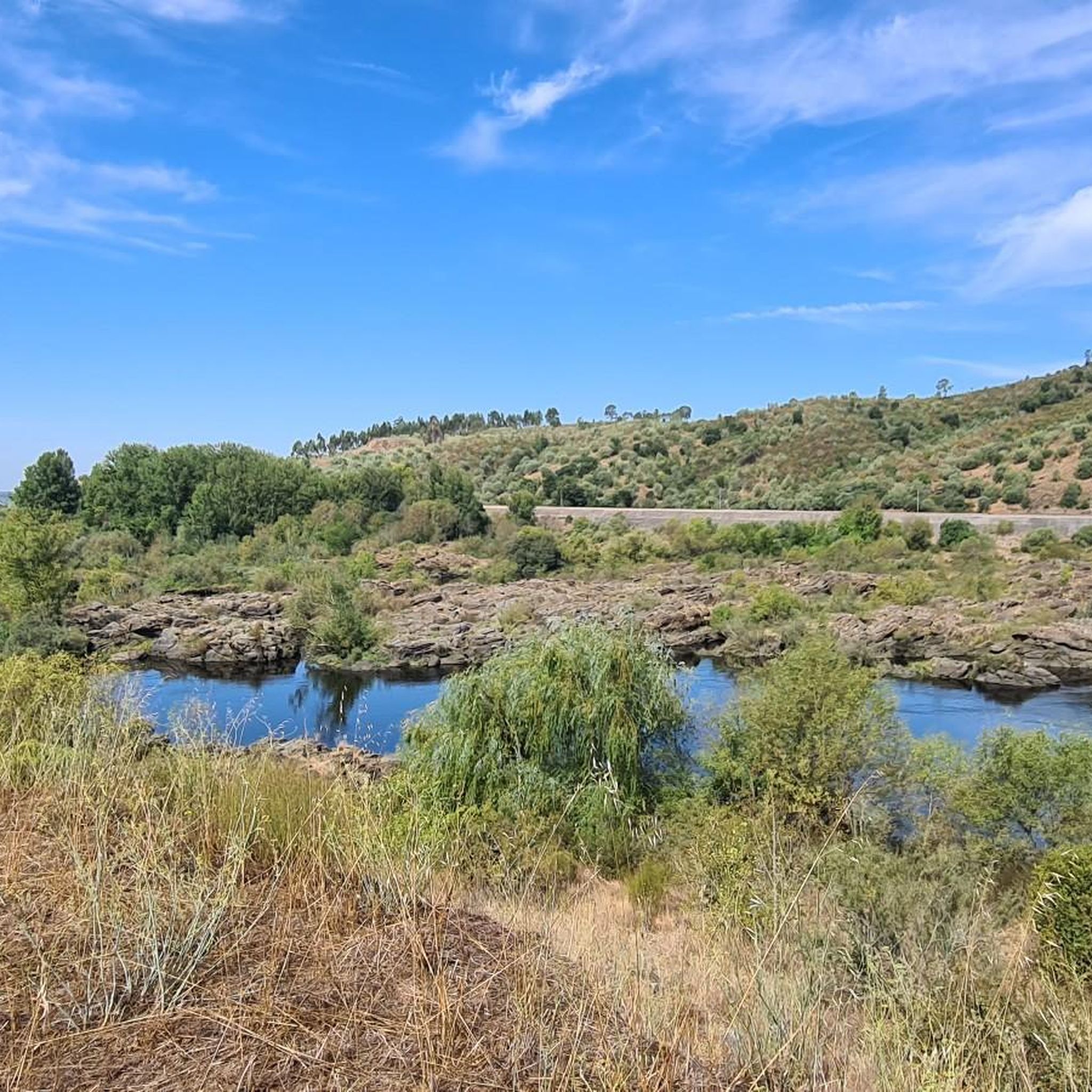
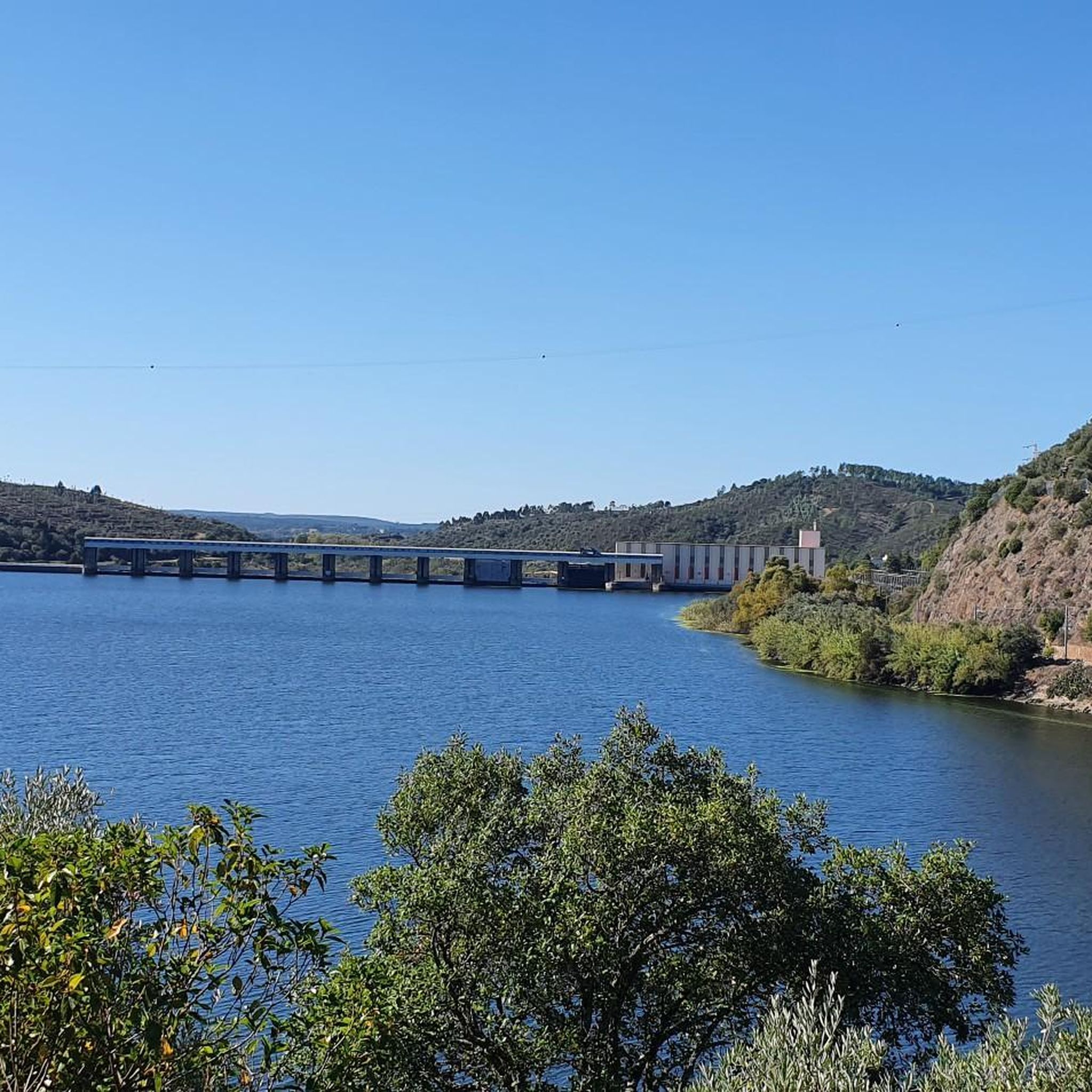
The hiking trails in Gavião e Atalaia are primarily shaped by the Tejo river, offering scenic routes along its banks. You'll encounter varied terrain, including river beaches, historical sites, and natural viewpoints. Many trails feature pedestrian bridges, providing unique perspectives of the river and surrounding landscapes.
Are there any circular hiking routes in Gavião e Atalaia?
Yes, many of the routes in Gavião e Atalaia are designed as circular walks, allowing you to start and end at the same point. Examples include the Castelo de Amieira – Suspended pedestrian bridge loop from Castelo de Amieira and the Passadiços da Barca d'Amieira – Suspended pedestrian bridge loop from Barca da Amieira - Envendos.
What are some interesting landmarks or places to explore along the trails?
The region is rich in points of interest. You can explore historical sites like the Belver Castle or the ancient Anta do Penedo Gordo. For impressive views, visit the Casa da Árvore Viewpoint, which offers a panorama of the railway bridge and the confluence of the Tejo with the Ocreza.
What do other hikers enjoy most about hiking in Gavião e Atalaia?
The hiking trails in Gavião e Atalaia are highly rated by the komoot community, with an average score of 4.9 stars from over 30 reviews. Hikers frequently praise the beautiful riverine landscapes, the historical sites, and the unique experience of crossing suspended pedestrian bridges.
Is it possible to reach the trailheads by public transport?
While specific public transport options to every trailhead may vary, the region has some local bus services connecting towns. For detailed information on routes and schedules to specific starting points, it's advisable to check local transport authority websites or inquire at tourist information centers in Gavião or Atalaia before your trip.
Are there any viewpoints offering panoramic vistas in the area?
Yes, the region features several natural viewpoints. A notable one is the Casa da Árvore Viewpoint, which provides stunning views of the Tejo River, its confluence with the Ocreza, and the railway bridge. Many trails along the riverbanks also offer expansive scenic outlooks.
What is the best time of year to go hiking in Gavião e Atalaia?
The spring and autumn months are generally ideal for hiking in Gavião e Atalaia, offering pleasant temperatures and lush scenery. Summer can be quite warm, especially in July and August, so if hiking during this period, it's best to start early in the morning or late in the afternoon to avoid the midday heat. Winter offers cooler, often mild conditions, though some trails might be muddy after rain.
Are there any trails that feature suspended pedestrian bridges?
Yes, suspended pedestrian bridges are a distinctive feature of some trails in Gavião e Atalaia, offering an exciting element to your hike. You can experience them on routes like the Castelo de Amieira – Suspended pedestrian bridge loop from Castelo de Amieira and the Passadiços da Barca d'Amieira – Suspended pedestrian bridge loop from Barca da Amieira - Envendos.
How many hiking trails are available in Gavião e Atalaia?
There are at least 7 distinct hiking trails documented in Gavião e Atalaia, ranging from easy to moderate difficulty. This provides a good variety for different fitness levels and preferences.
Are there any river beaches or spots for wild swimming near the hiking trails?
Yes, the region is known for its river beaches along the Tejo. The Praia Fluvial do Alamal loop from Belver, for instance, leads to a river beach where you can relax or take a refreshing dip, especially during warmer months. Always check local conditions and safety guidelines before swimming.
What should I wear for hiking in Gavião e Atalaia?
Given the varied terrain and potential for warm weather, it's recommended to wear comfortable, breathable clothing suitable for outdoor activity. Sturdy hiking shoes with good grip are essential, especially on trails that might be uneven or near riverbanks. Don't forget sun protection, a hat, and plenty of water, particularly during summer.
Most popular routes around Gavião e Atalaia e Atalaia e Atalaia
Most popular attractions around Gavião e Atalaia e Atalaia e Atalaia

Get inspired with the komoot mobile app


Explore more
Browse the best Hikes in other regions.
