The best running trails around Reguengo e Reguengo e Reguengo e São Julião
4.8
(5)
459
runners
58
runs
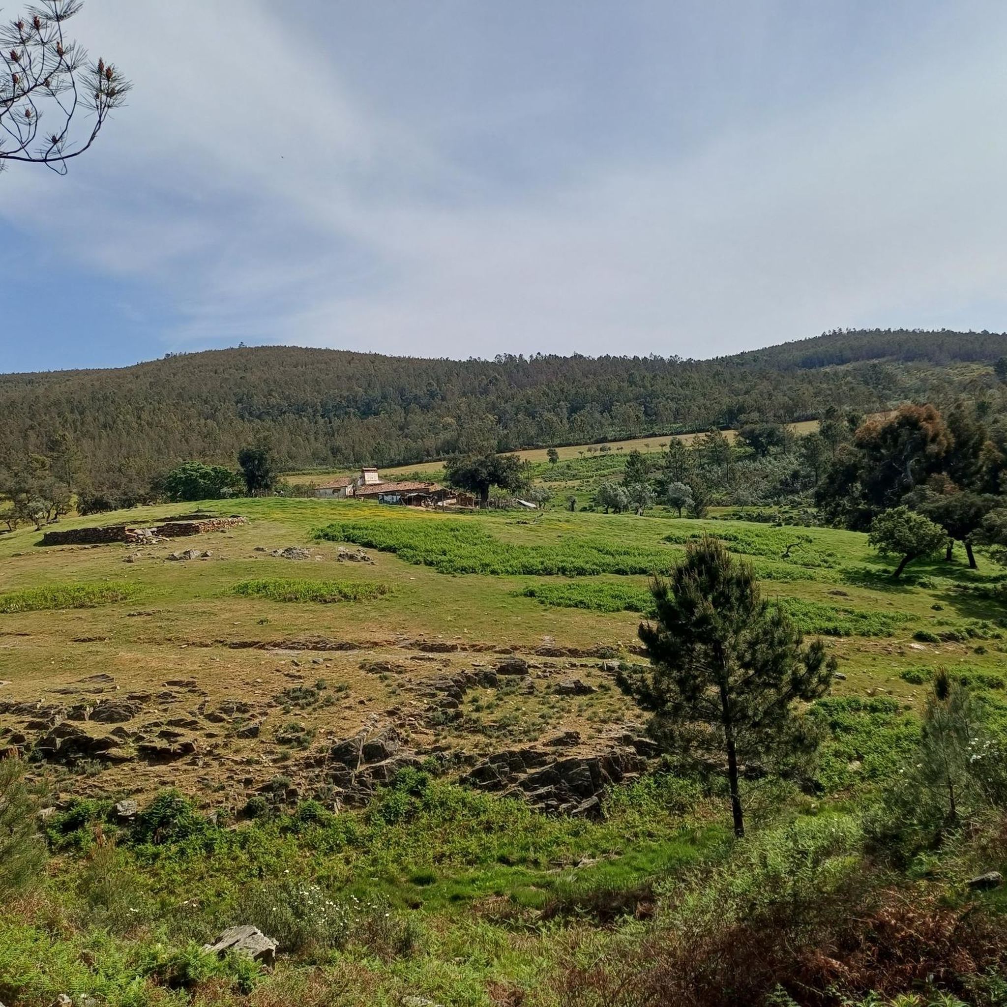
Jogging routes around Reguengo e Reguengo e Reguengo e São Julião traverse the slopes of the Serra de São Mamede, offering a diverse natural landscape. The region features abundant vegetation, clear water courses, and varied terrain with mountains and valleys. Runners encounter ancient granite formations, quartzitic ridges, and diverse flora including cork oaks and holm oaks. This environment provides a range of elevation changes suitable for different running preferences.
Best jogging routes around Reguengo e Reguengo e Reguengo e São…
Last updated: July 11, 2026
3
runners
7.65km
00:54
130m
130m
Moderate run. Good fitness required. Mostly accessible paths. Some sure footedness required.
4.0
(1)
18
runners
19.3km
02:33
550m
550m
Hard run. Very good fitness required. Mostly paved surfaces. Suitable for all skill levels.

Sign up for free
10
runners
58.7km
07:29
1,870m
1,870m
Hard run. Very good fitness required. Mostly paved surfaces. Suitable for all skill levels.
8
runners
17.4km
02:14
440m
450m
Hard run. Very good fitness required. Mostly paved surfaces. Suitable for all skill levels.
3
runners
5.85km
00:42
100m
100m
Moderate run. Good fitness required. Mostly paved surfaces. Suitable for all skill levels.
Get access to more routes and recommendations from other explorers.
Sign up for free
Already have an account?
Our route recommendations are based on thousands of hikes, rides, and runs completed by other people on komoot.
Start today with a free account
Your next adventure awaits.
Login or Signup
Popular around Reguengo e Reguengo e Reguengo e São Julião
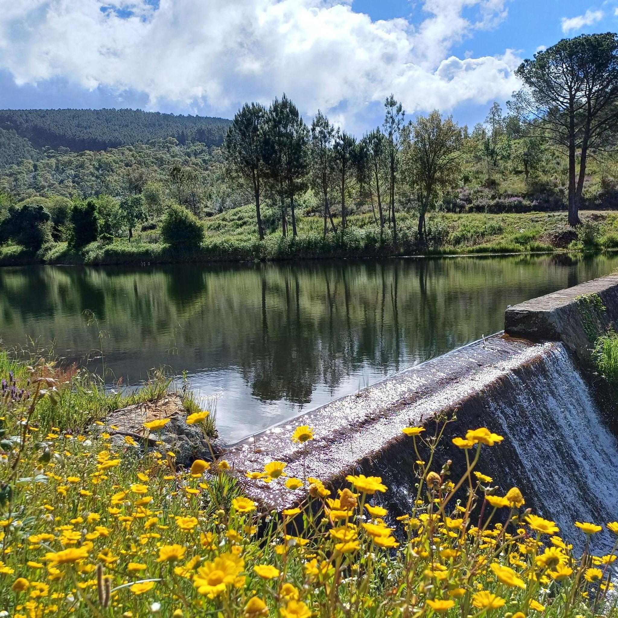
Hiking around Reguengo e Reguengo e Reguengo e São Julião
Gravel biking around Reguengo e Reguengo e Reguengo e São Julião
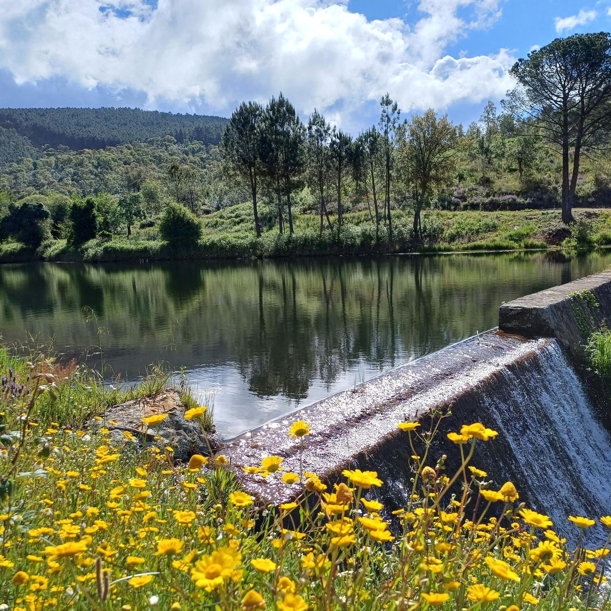
MTB Trails around Reguengo e Reguengo e Reguengo e São Julião
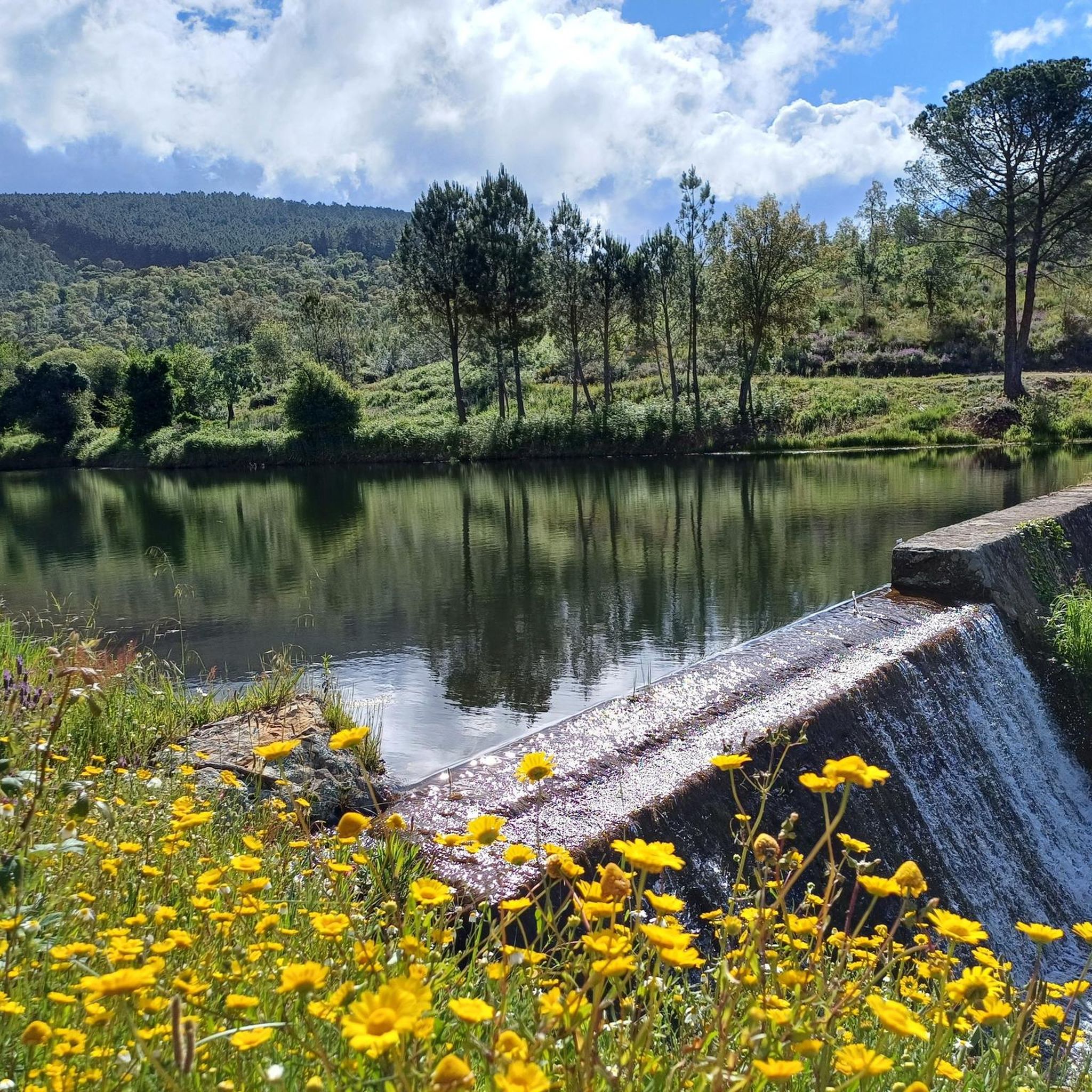
Road Cycling Routes around Reguengo e Reguengo e Reguengo e São Julião
Cycling around Reguengo e Reguengo e Reguengo e São Julião
Tips from the Community

For those planning to hike in the Alegrete area, the main reference route is the PR3 PTG – Percurso de Alegrete. This circular route offers a complete immersion in the Serra de São Mamede Natural Park, combining the medieval heritage of the village with montado landscapes and water lines. The Main Route (PR3 PTG) The PR3 PTG - Percurso de Alegrete is about 11.4 km long and is classified as medium/low difficulty. The recommended starting and ending point is near Fonte Nova, although many hikers start their journey in the village of Alegrete itself to explore the historic center right away. Castle and Village: The Castle of Alegrete is the (literal) highlight of the hike. Situated at about 500 meters above sea level, it offers a panoramic view of the Alentejo border region. Don't miss the Clock Tower (Torre do Relógio). Nature and Biodiversity: The trail crosses areas of cork oak montado, pine forests, and riparian areas. It is an excellent place for bird watching (such as the robin or the titmouse) and, near the water lines, you can find rare vegetation like the royal fern. Religious Heritage: During your passage through the village, you can also visit the small Chapel of Mercy (Capela da Misericórdia), which is part of the local historical complex. Practical Hiking Tips Time of Year: Avoid the months of July and August due to the extreme temperatures in the Alentejo. Autumn and spring are ideal for the colors of the vegetation and mild temperatures. In winter, be careful with the ground, which can become quite slippery on cobblestones and rocky trails. Equipment: Use footwear with good grip (the ascents and descents to the castle and river have sections of loose stones). Bring enough water, as outside the village, refueling points are scarce. Safety and Respect: Always follow the official signage (yellow and red marks).
0
0
Hiking to Serra de São Mamede (1027 m), the highest point in continental Portugal south of the Tagus, offers a unique experience that combines the hardness of quartzite with the freshness of lush vegetation in the Serra de São Mamede Natural Park. The ascent rewards hikers with panoramic views that extend to the Estrela and deep into Spanish territory. For a safe and rewarding hike on this peak in Portalegre, consider the following advice: Route Planning: There are several trails leading to the summit, with the Serra de São Mamede Walking Route (PR1 PTG) being one of the most popular. The path is often rocky and steep, requiring footwear with good traction and ankle support. Water and Energy Management: The physical exertion and sun exposure, especially in the higher, unprotected areas, require you to carry sufficient water (at least 1.5L) and energy snacks. There are no reliable supply points during the ascent. Pay Attention to the Weather: The weather in the mountains can change rapidly. Even if it is sunny in the city, the summit may be shrouded in fog or strong winds. Always check the local forecast before setting off and bring a windbreaker or warm clothing. Sun Protection: Due to the altitude and sparser vegetation on the summit, UV radiation is more intense. Use sunscreen and a hat, even on cloudy days.
0
0
The castle was founded by King D. Dinis in 1290, with the aim of defending the Alentejo border. Originally, it had an imposing structure with a double ring of walls, twelve towers and eight gates. Over the centuries, it lost part of its structure to the growth of the city, but it remains a National Monument. The Keep is the best-preserved part of the original complex. Inside, there is a museum that you can visit.
1
0

An old, stone-paved road leads from Portagem through cork oak forests up to Marvão. A strenuous journey in summer. The scenery is breathtaking.
1
0

Castelo do Alegrete is an imposing medieval fortress located on a rocky outcrop near the village of Alegrete, Portugal. Dating back to at least the 13th century (with probably older origins), it played a key role in defending the border with Spain. It features a large quadrilateral wall with cubic towers. Although part of the castle is in ruins, it still retains elements such as parapets, gates and arrow slits. It offers spectacular views of the surrounding landscape and is an important national monument, a testimony to the defensive history of the region.
0
0

Portalegre is a historic town in the Serra de São Mamede near the Spanish border, known for its medieval strategic role and rich religious and architectural heritage. It became a city in the 16th century under King João III. Today, it blends baroque charm with cultural landmarks like the Tapestry Museum and José Régio’s House-Museum.
0
0
Castelo do Alegrete is an imposing medieval fortress located on a rocky outcrop near the village of Alegrete, Portugal. Dating back to at least the 13th century (with probably older origins), it played a key role in defending the border with Spain. It features a large quadrilateral wall with cubic towers. Although part of the castle is in ruins, it still retains elements such as parapets, gates and arrow slits. It offers spectacular views of the surrounding landscape and is an important national monument, a testimony to the defensive history of the region.
1
0

The Dolmen del Mellizo, also known as Aceña Borrega or Anta de la Marquesa, has a thousand-year history. Although its exact origin is lost in time, it is believed that it was built between the 4th and 3rd millennia BC. This megalith follows the megalithic model known as “anta” in neighboring Portugal. The dolmen chamber is covered by a horizontal slab that protrudes from the roof, and although it is quite worn, the corridor and access to the chamber are still well preserved. In an archaeological excavation carried out in 1985, remains of funerary goods, such as ceramic fragments and arrowheads, were found. The Dolmen del Mellizo is a fascinating place that connects us with the people who built it thousands of years ago. 🌟
7
0
Frequently Asked Questions
How many running routes are available in Reguengo e São Julião?
There are over 50 dedicated running routes in Reguengo e São Julião, offering a wide range of options for all skill levels. The region features a diverse network of trails within the Serra de São Mamede Natural Park.
What types of terrain can I expect on the jogging trails in Reguengo e São Julião?
Runners in Reguengo e São Julião will encounter a rich variety of terrain. The routes traverse the slopes of the Serra de São Mamede, featuring ancient granite formations, quartzitic ridges, and shales. You'll find paths winding through abundant vegetation, including cork oaks and holm oaks, alongside clear water courses and varied elevation changes.
Are there any easy running routes suitable for beginners or a relaxed jog?
While many routes offer varied elevation, there are options suitable for beginners. For a moderate experience, consider the Aceña de la Borrega Dolmens Trail, which is about 7.6 km long and takes approximately 55 minutes. It features historical dolmens within a varied natural park setting.
Can I find circular running routes in Reguengo e São Julião?
Yes, several circular running routes are available. A popular choice is the Apartadura Reservoir loop from Serra de São Mamede Nature Park, a 5.8 km trail that can be completed in about 45 minutes, leading through diverse flora and natural park landscapes.
Are there any challenging trails for experienced runners seeking elevation gain?
Absolutely. For experienced runners, the region offers difficult routes with significant elevation changes. The Apartadura Reservoir – São Mamede Trail loop from São Mamede is a challenging 19.2 km path with substantial climbs, offering expansive views of the reservoir and the Serra de São Mamede.
What natural features or landmarks can I see while running in the area?
The running routes offer opportunities to see diverse natural and historical features. You might encounter ancient granite formations, quartzitic ridges, and various oak forests. Notable landmarks in the wider area include the Historic Village of Marvão, the 16th century bridge of Portagem, and the impressive Marvão Castle. You can also discover ancient dolmens like the Dolmen del Mellizo-Anta de la Marquesa.
Are the running trails in Reguengo e São Julião suitable for families?
The region's diverse network includes routes of varying difficulty. While some trails are challenging, many offer moderate sections that can be enjoyed by families looking for a scenic jog or walk. It's best to check the specific route details for distance and elevation to ensure it matches your family's fitness level.
What do other runners say about the trails in Reguengo e São Julião?
The running routes in Reguengo e São Julião are highly regarded by the komoot community, boasting an average rating of 5.0 stars. Runners often praise the diverse natural landscapes, the clear water courses, and the varied terrain that makes for an engaging and picturesque experience.
Are there any very long-distance running options for ultra-runners or those training for marathons?
Yes, for those seeking significant distance and elevation, routes like the São Mamede Trail – Portalegre Castle loop from Quinta da Dourada offer an extensive challenge. This route spans over 62 km with substantial elevation gain, providing an excellent option for long-distance training.
Is it possible to combine running with exploring historical sites in the area?
Absolutely. The region is rich in history. Many trails, such as the Aceña de la Borrega Dolmens Trail, pass by ancient historical sites. You can also find routes that lead near the Roman City of Ammaia or the medieval Marvão Castle, allowing you to combine your run with cultural exploration.
What is the best season for running in Reguengo e São Julião?
The region's climate, influenced by both Atlantic and Mediterranean conditions, makes it suitable for running across various seasons. Spring and autumn generally offer milder temperatures and vibrant natural scenery, while summer mornings or evenings can be pleasant. The abundant vegetation provides some shade, but checking local weather forecasts is always recommended.
Are there any routes that offer panoramic viewpoints?
Given its location on the slopes of the Serra de São Mamede, many routes offer excellent viewpoints. Trails that traverse the rugged terrain with peaks and ridges often provide expansive views over the peneplain. The Apartadura Reservoir – São Mamede Trail loop from São Mamede, for instance, offers significant vistas of the reservoir and the surrounding natural park.
Most popular routes around Reguengo e Reguengo e Reguengo e São Julião
Most popular attractions around Reguengo e Reguengo e Reguengo e São Julião

Get inspired with the komoot mobile app


Explore more
Browse the best Running Trails & Routes in other regions.
