The best road cycling routes around Chapa
4.9
(13)
566
riders
22
rides
Road cycling around Chapa offers diverse routes through varied terrain. The region features greenways, river valleys, and routes that traverse tunnels and bridges, indicating a mix of flat sections and areas with significant elevation changes. The landscape provides options for both moderate and challenging road cycling experiences.
Best road cycling routes around Chapa
- The most popular road cycling route is Church of Saint Mary of Gondar – Montagne Tunnel loop from Amarante, a 63.9 miles (102.9 km) trail that…
Last updated: October 18, 2026
5.0
(3)
119
riders
103km
05:52
2,140m
2,140m
Hard road ride. Very good fitness required. Mostly well-paved surfaces and easy to ride.
5.0
(3)
93
riders
47.2km
02:38
720m
720m
Moderate road ride. Good fitness required. Mostly well-paved surfaces and easy to ride.

5.0
(2)
69
riders
82.1km
04:54
1,700m
1,700m
Hard road ride. Very good fitness required. Mostly well-paved surfaces and easy to ride.
14
riders
105km
05:53
2,310m
2,310m
Hard road ride. Very good fitness required. Mostly well-paved surfaces and easy to ride.
18
riders
71.9km
03:53
1,200m
1,200m
Hard road ride. Very good fitness required. Some segments of this route may be unpaved and difficult to ride.
Get access to more routes and recommendations from other explorers.
Already have an account?
Our route recommendations are based on thousands of hikes, rides, and runs completed by other people on komoot.
Start today with a free account
Your next adventure awaits.


Tips from the Community

We visited the Monastery in August of 2026. It can be visited for a small fee. Check for the visiting times before going. There had been a a restoration of the the main organ some years ago. The Church itself is still used on occasion.
0
0

The Igreja de São Gonçalo (Church of Saint Gonçalo) is a prominent 16th-century National Monument located in the riverside town of Amarante, northern Portugal. Positioned commandingly next to the Tamega River and the historic São Gonçalo Bridge, the architectural complex functions as the historical and spiritual heart of the city.
0
0

The parking area for motorhomes directly on the Douro River
1
0

The slopes of the Douro are truly spectacular. Stunning landscapes. 👍🥾
1
0

A bridge with a horizontal deck over three unequal round arches, the central one being the largest. The pillars have triangular buttresses upstream and downstream. The parapet protecting the bridge deck rests on a carved tubular cornice. Crowning the buttresses, four semicircular balconies with stone benches open onto the deck. At each end, the bridge boasts two pairs of faceted Baroque spires resting on small spheres.
2
0

Approach to Monte Farinha in Mondim de Basto
0
0


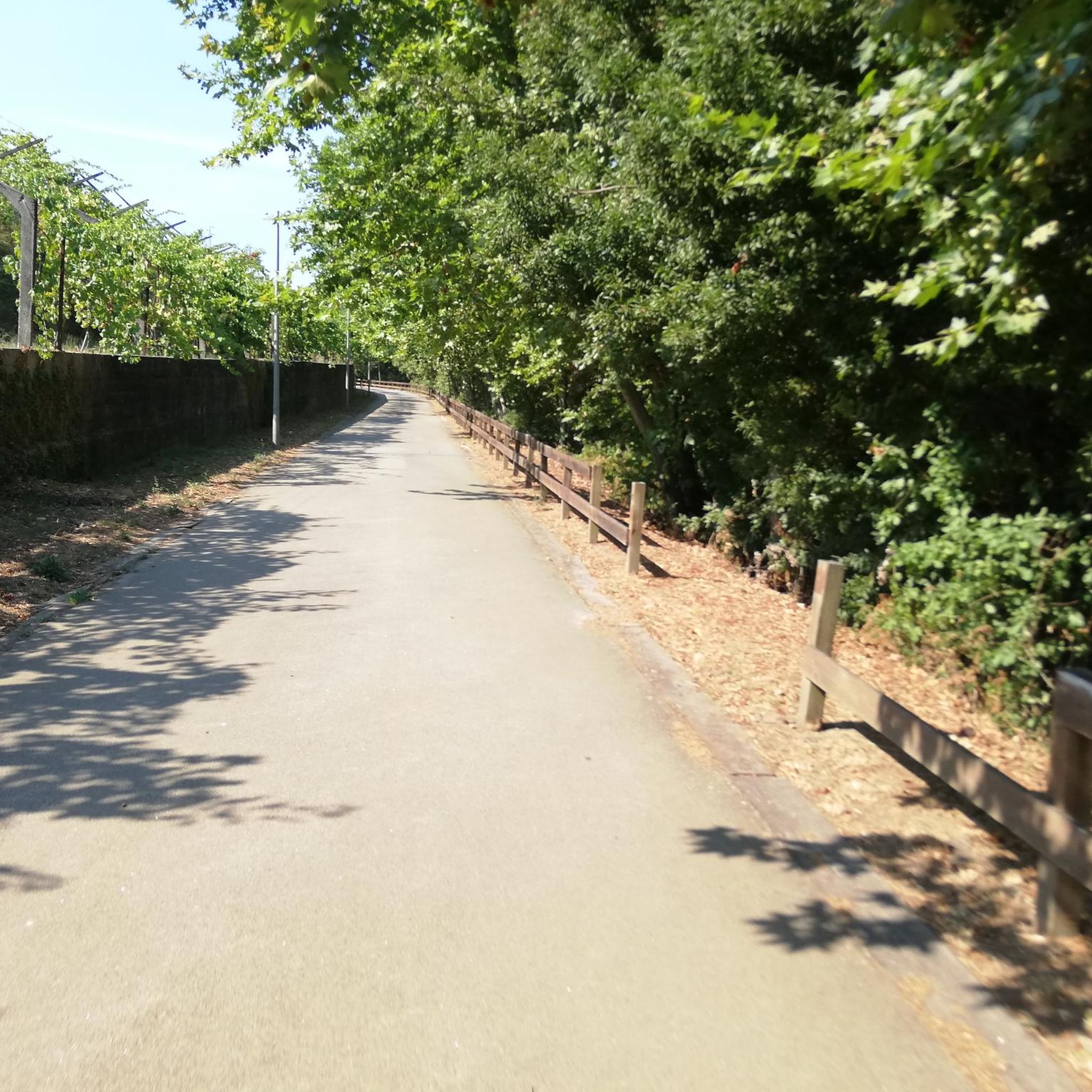
Nice bike path, nice asphalt. Fairly wide, but only in a few spots is the vegetation recovering. Recommended 👍
1
0
Frequently Asked Questions
How many road cycling routes are available around Chapa?
Chapa offers a diverse selection of over 20 road cycling routes, catering to various skill levels and preferences. These routes explore greenways, river valleys, and areas with significant elevation changes.
Are there road cycling routes suitable for beginners in Chapa?
While there are no routes specifically classified as 'easy' in Chapa, there are several moderate options that could be suitable for beginners looking for a bit of a challenge. These often follow greenways, providing a smoother experience. For example, the Tâmega Line Greenway loop from Amarante is a moderate 29.0-mile path.
What kind of challenges can I expect on road cycling routes in Chapa?
Chapa's road cycling routes are predominantly challenging, with 17 out of 23 routes classified as difficult. These routes often feature substantial elevation gains, such as the Church of Saint Mary of Gondar – Montagne Tunnel loop from Amarante, which includes over 2,100 meters of ascent over 63.9 miles.
Are there any long-distance road cycling routes in Chapa?
Yes, Chapa features several long-distance road cycling routes. Many routes exceed 50 miles, offering extended rides through varied terrain. For instance, the A4 Bridge – Régua Road Bridge loop from Amarante covers over 65 miles with significant elevation.
Can I find circular road cycling routes in Chapa?
Most of the road cycling routes around Chapa are designed as loops, allowing you to start and finish at the same point. This includes popular options like the Tâmega Line Greenway – View of Ponte de São Gonçalo loop from Amarante, which offers scenic views and greenway sections.
What scenic viewpoints or landmarks can I see along the road cycling routes?
Many routes in Chapa offer picturesque views and pass by notable landmarks. You can expect to see historical bridges like the St. Gonçalo Bridge and the Church and Bridge of São Gonçalo in Amarante. The routes also often follow scenic paths like the Tâmega Line Greenway.
Are there routes that follow greenways or river valleys?
Absolutely. Road cycling in Chapa is characterized by its greenways and river crossings. The Tâmega Line Ecotrail and the Azenhas Trail (Tâmega River, Amarante) are prime examples of routes that utilize these scenic, often flatter, sections.
What do other road cyclists say about the routes in Chapa?
The road cycling routes in Chapa are highly regarded by the komoot community, boasting an average rating of 5.0 stars from over 8 reviews. Cyclists often praise the varied terrain, the scenic greenway sections, and the challenging climbs that offer rewarding views.
Are there family-friendly road cycling options in Chapa?
While many routes are challenging, families with older children or those comfortable with moderate distances might enjoy sections of the greenways. The routes that primarily follow the Tâmega Line Greenway, for example, offer a more consistent surface and less traffic, making them potentially more suitable for a family outing, though they still require a good level of fitness.
What is the best time of year for road cycling in Chapa?
The best time for road cycling in Chapa generally aligns with spring and autumn, when temperatures are milder and the weather is more stable. Summer can be warm, especially in the valleys, while winter might bring cooler temperatures and potentially wet conditions, though many routes remain accessible year-round.
Where can I find parking for road cycling routes in Chapa?
Many road cycling routes around Chapa start from towns like Amarante. You can typically find public parking facilities in these towns, often near the beginning of popular greenway sections or town centers, which serve as convenient starting points for your ride.
Is public transport available to access road cycling routes in Chapa?
Accessing road cycling routes in Chapa via public transport can be challenging, as options for transporting bicycles may be limited. It's advisable to check local bus or train services for their specific policies on bicycle carriage if you plan to use public transport to reach your starting point.
Are there road bike trails in Chapa with cafes or refreshment stops?
Many road cycling routes in Chapa pass through or near small towns and villages where you can find cafes, restaurants, and shops for refreshments. Routes that follow greenways or connect urban centers are particularly likely to offer convenient stops along the way. Planning your route with komoot allows you to identify points of interest for breaks.
Most popular routes around Chapa
Most popular attractions around Chapa

Get inspired with the komoot mobile app


Explore more
Browse the best Road cycling routes in other regions.
