The best road cycling routes around Grilo
4.8
(4)
237
riders
20
rides
Road cycling routes around Grilo are situated in a region characterized by diverse topography, including river valleys, hills, and mountains. The area features winding roads that traverse forests and offer varied gradients, from challenging climbs to descents. This landscape provides a compelling setting for road cycling, with routes often passing through traditional villages. The terrain is part of the broader Arouca Geopark, known for its geological significance and natural beauty.
Best road cycling routes around Grilo
- The most popular road…
Last updated: July 1, 2026
48
riders
45.0km
02:16
660m
660m
Moderate road ride. Good fitness required. Mostly well-paved surfaces and easy to ride.
29
riders
62.6km
03:21
1,150m
1,150m
Hard road ride. Very good fitness required. Mostly well-paved surfaces and easy to ride.

Sign up for free
18
riders
136km
08:01
3,300m
3,300m
Hard road ride. Very good fitness required. Mostly well-paved surfaces and easy to ride.
5.0
(1)
13
riders
57.1km
03:28
1,440m
1,440m
Hard road ride. Very good fitness required. Mostly well-paved surfaces and easy to ride.
9
riders
80.8km
03:58
1,100m
1,100m
Hard road ride. Very good fitness required. Mostly well-paved surfaces and easy to ride.
Get access to more routes and recommendations from other explorers.
Sign up for free
Already have an account?
Our route recommendations are based on thousands of hikes, rides, and runs completed by other people on komoot.
Start today with a free account
Your next adventure awaits.
Login or Signup
Popular around Grilo
Tips from the Community

A bridge with a horizontal deck over three unequal round arches, the central one being the largest. The pillars have triangular buttresses upstream and downstream. The parapet protecting the bridge deck rests on a carved tubular cornice. Crowning the buttresses, four semicircular balconies with stone benches open onto the deck. At each end, the bridge boasts two pairs of faceted Baroque spires resting on small spheres.
2
0


Small narrow streets to discover in the not so small village
2
2

At Portas de Montemuro, the landscape stretches out without limits. Here, tables and benches invite you to take a break and enjoy the view, while the national road 321, popular with cyclists, marks the 1,215 metres of altitude. The highest peak of the Montemuro mountain range, at 1,381 metres, is nearby, to the east. Nearby, the ruins of the Wall of Portas de Montemuro preserve echoes of a distant past. Mentioned in the Inquiries of 1258, they reveal traces of an ancient fortified settlement from the Iron Age, possibly linked to the Castro culture. Later, the site was reused by the Romans and, at the time of the Reconquista, by D. Afonso Henriques, the first king of Portugal.
0
0

Baião is famous for its green and hilly landscapes that extend to the Douro River. It is located in a predominantly rural region, known for the production of Vinho Verde and citrus fruits. It offers an authentic experience of traditional Portugal, with a rich natural and cultural heritage and exquisite local gastronomy.
0
0

This church is actually a monastery, a Dominican monastery. It is dedicated to Blessed Gonçalo, who is also the patron saint of this town. The monastery was built in the 16th century, and parts of it now serve as the town hall and a museum. It's very sustainable.
5
2
At Portas de Montemuro, the landscape stretches out without limits. Here, tables and benches invite you to take a break and enjoy the view, while the national road 321, popular with cyclists, marks the 1,215 metres of altitude. The highest peak of the Montemuro mountain range, at 1,381 metres, is nearby, to the east. Nearby, the ruins of the Wall of Portas de Montemuro preserve echoes of a distant past. Mentioned in the Inquiries of 1258, they reveal traces of an ancient fortified settlement from the Iron Age, possibly linked to the Castro culture. Later, the site was reused by the Romans and, at the time of the Reconquista, by D. Afonso Henriques, the first king of Portugal.
1
0
Very nice cafe on the Ponte de São Gonçalo. Here you can find all the local specialties such as Brisas do Tomega, Papos de Anjo, Foguetes or Bolo de S. Gonçalo. In the cafe you can walk to the river side and enjoy the uninterrupted view of the Rio Tamega and the bridge. When the weather is nice there are also outdoor seats.
14
0
Frequently Asked Questions
How many road cycling routes are available around Grilo?
There are over 20 road cycling routes around Grilo, offering a variety of distances and challenges. These routes are highly rated by the komoot community, with an average score of 4.8 stars.
What kind of terrain can I expect on road cycling routes near Grilo?
Road cycling around Grilo features diverse topography, including river valleys, hills, and mountains. You'll encounter winding roads that traverse forests and traditional villages, with varied gradients from challenging climbs to exhilarating descents. The region is part of the Arouca Geopark, known for its natural beauty and geological significance.
Are there road cycling routes with significant climbs for advanced cyclists?
Yes, the Grilo area offers several challenging routes with substantial elevation gain. For instance, the Portas de Montemuro – Serra de Montemuro loop from Mosteirô is a difficult 83.9-mile (135.1 km) trail leading through mountainous terrain with significant climbs, often taking nearly 8 hours to complete.
Are there any circular road cycling routes around Grilo?
Many of the road cycling routes around Grilo are designed as loops, allowing you to start and finish in the same location. An example is the View of Ponte de São Gonçalo – St. Gonçalo Bridge loop from Juncal, a moderate 28.4-mile (45.7 km) route with steady climbs and scenic views.
What are some scenic viewpoints or landmarks I can see along the road cycling routes?
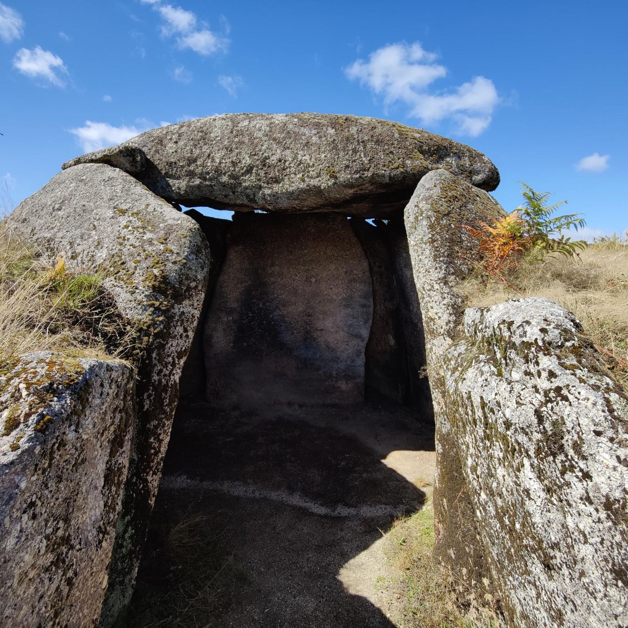
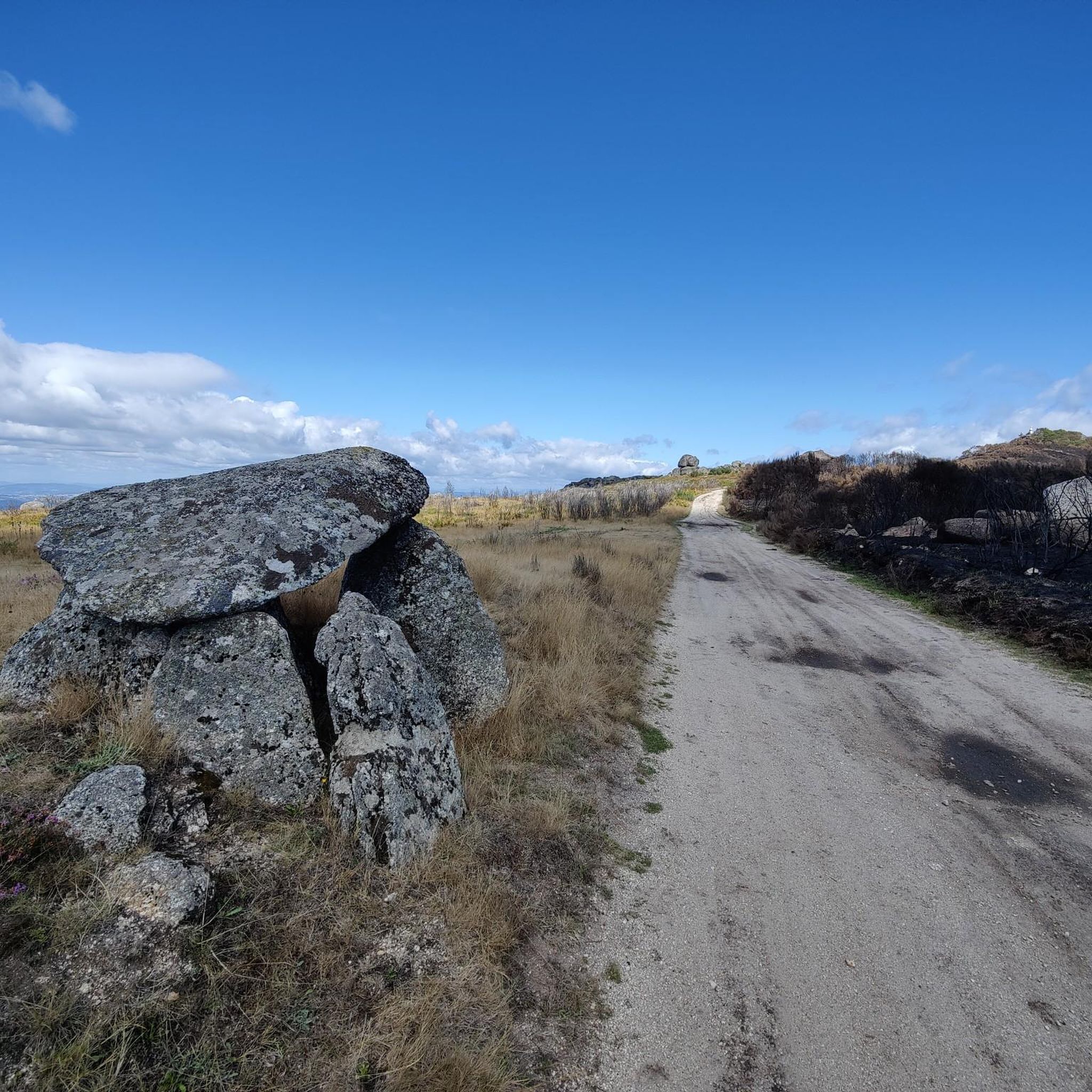
The region offers numerous scenic spots. You might encounter natural features like the Natural Pool and Waterfall Trail or the Cabrum Natural Pools. Historical sites such as the Meninas do Crasto Dolmen are also present, and you can enjoy panoramic views from spots like the Viewpoint of Nossa Senhora da Guia.
Are there easier road cycling options suitable for beginners or families?
While there are no routes specifically rated as 'easy' in the immediate Grilo area, there are several 'moderate' routes that could be suitable for beginners with some cycling experience or families looking for a pleasant ride. These routes feature steady climbs and descents without extreme difficulty. One such option is the View of Ponte de São Gonçalo – St. Gonçalo Bridge loop from Juncal.
What do other road cyclists enjoy the most about road cycling in Grilo?
The area is highly rated by the komoot community, with an average score of 4.8 stars from over 5 reviews. Cyclists often praise the varied terrain, the challenging climbs, and the stunning natural beauty of the Arouca Geopark, including its river valleys and traditional villages.
Can I find routes that pass through traditional villages?
Yes, many road cycling routes in the Grilo region are designed to pass through traditional villages, offering a glimpse into local culture and architecture. This allows cyclists to experience the authentic charm of the area while enjoying their ride.
What is the best time of year for road cycling in Grilo?
The region generally offers good conditions for road cycling outside of the peak summer heat and potential winter rains. Spring and autumn typically provide pleasant temperatures and beautiful scenery, making them ideal seasons to explore the varied terrain of Grilo and the Arouca Geopark.
Are there any routes that offer views of the Douro River?
Yes, some routes in the broader region provide stunning views of the Douro River. For example, the difficult Baião – View of the Douro River loop from Aregos is a 57.1-km route that includes significant elevation gain and rewards cyclists with picturesque river vistas.
Are there any routes that explore the geological features of the Arouca Geopark?
While specific road cycling routes might not directly traverse the most sensitive geological sites, the entire region around Grilo is part of the Arouca Geopark, a UNESCO Global Geopark. This means your rides will be set against a backdrop of unique geological formations, including quartz crystals and dramatic river gorges, offering an educational dimension to your outdoor excursions.
Most popular routes around Grilo
Most popular attractions around Grilo

Get inspired with the komoot mobile app


Explore more
Browse the best Road cycling routes in other regions.
