The best running trails around Aguiar De Sousa
4.7
(16)
987
runners
34
runs
Jogging routes Aguiar de Sousa offer diverse natural landscapes, characterized by mountainous terrain and the meandering Sousa River, which carves out tranquil river valleys. Elevations in the region range from 152 to 380 meters, providing varied gradients for running. The area features a network of trails suitable for jogging, often integrating with historical routes. This environment provides a dynamic experience for runners, from river views to challenging ascents.
Best jogging routes around Aguiar De Sousa
- The most popular jogging route…
Last updated: July 4, 2026
26
runners
21.8km
02:52
710m
710m
Hard run. Very good fitness required. Mostly paved surfaces. Suitable for all skill levels.
17
runners
12.2km
01:31
300m
300m
Hard run. Very good fitness required. Mostly paved surfaces. Suitable for all skill levels.

Sign up for free
11
runners
11.2km
01:19
170m
180m
Moderate run. Good fitness required. Mostly paved surfaces. Suitable for all skill levels.
17
runners
26.1km
03:30
830m
830m
Hard run. Very good fitness required. Mostly paved surfaces. Suitable for all skill levels.
5
runners
16.4km
01:48
260m
260m
Hard run. Very good fitness required. Mostly paved surfaces. Suitable for all skill levels.
Get access to more routes and recommendations from other explorers.
Sign up for free
Already have an account?
Our route recommendations are based on thousands of hikes, rides, and runs completed by other people on komoot.
Start today with a free account
Your next adventure awaits.
Login or Signup
Tips from the Community

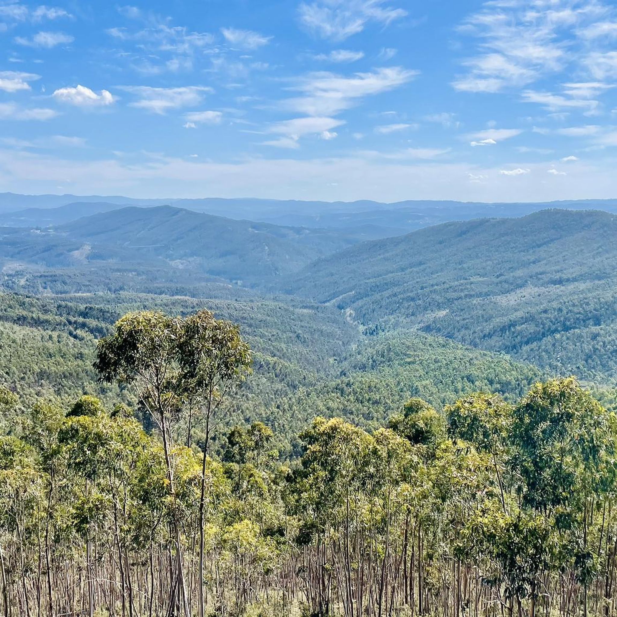
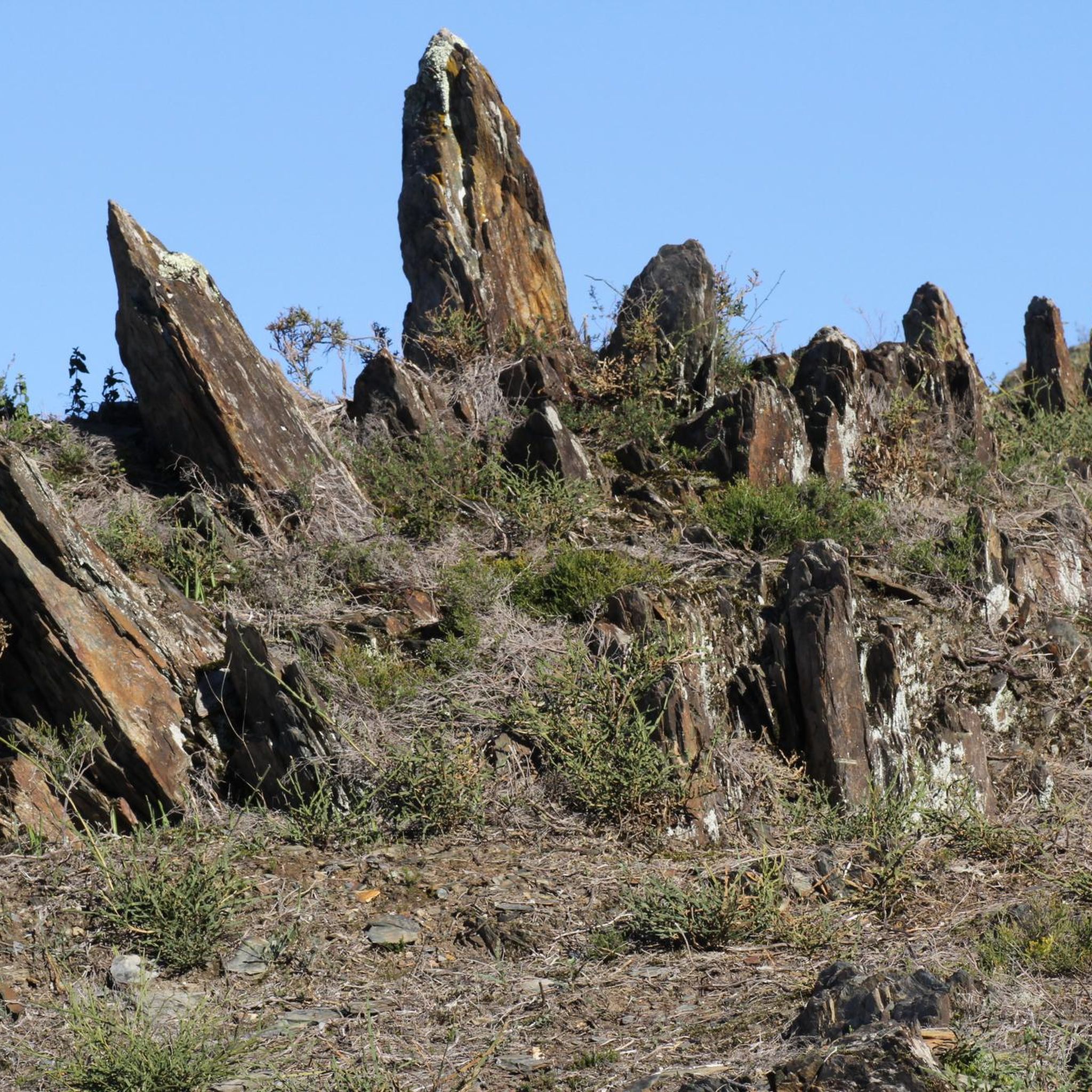
The Gruta das Banjas seemingly appears out of nowhere. A giant hole in the ground. The cave lies near the peak of Serra das Banjas, at roughly 325 m elevation, carved into schist bedrock with clear ties to abandoned mine workings. Features include tight passageways and vertical shafts—the result of manual extraction dating back to Roman and later periods, within the broader Dúrico-Beirão mining district. I’d recommend accessing from the western side, and climbing up and out of the main shaft, rather than the opposite way which demands a more challenging climb down into the chasm.
0
0

Lots of people on the weekend
0
0
On weekends there are usually a lot of people.
0
0
Frequently Asked Questions
How many running routes are available in Aguiar de Sousa?
Aguiar de Sousa offers a good selection of running routes, with over 30 trails available for you to explore. These routes cater to various fitness levels, ranging from easy paths to more challenging runs.
What kind of terrain can I expect on the jogging routes in Aguiar de Sousa?
The jogging routes in Aguiar de Sousa feature diverse and often challenging terrain. You'll encounter a mix of rural, forested, and agricultural zones, with undulating paths and significant elevation changes. The region's average elevation is 499 feet, with routes ranging from 49 feet to 1,247 feet, providing dynamic and engaging runs through river valleys and mountainous areas.
Are there easy jogging routes suitable for beginners in Aguiar de Sousa?
Yes, Aguiar de Sousa has a few easy jogging routes perfect for beginners or those looking for a more relaxed run. While many trails feature significant elevation, there are at least 3 routes categorized as easy, allowing you to enjoy the scenic landscapes without overly strenuous climbs.
What do other runners enjoy most about jogging in Aguiar de Sousa?
The running trails in Aguiar de Sousa are highly regarded by the komoot community, boasting an average rating of 4.8 stars from over 10 reviews. Runners frequently praise the varied terrain, the natural beauty of the landscapes, and the engaging challenges offered by the region's elevation changes.
Are there any circular jogging routes in Aguiar de Sousa?
Yes, many of the running routes in Aguiar de Sousa are designed as loops, offering convenient circular paths. For example, the Salamandra Downhill Track – Pico da Serra de Santa Justa loop from Valongo is a popular circular option, as is the Alto do Marco – Gruta das Banjas loop from Melres.
Can I find jogging routes with scenic viewpoints or natural attractions?
Absolutely! Aguiar de Sousa's routes often lead to beautiful viewpoints and natural features. You can find trails that pass by highlights such as the Doll's Swing, offering panoramic views, or the Sebolido Viewpoint. The Pico da Serra de Santa Justa is another prominent summit accessible via some routes.
Are there any routes that feature waterfalls or river views?
Yes, the region is characterized by the meandering Sousa River, and some routes offer lovely river views. You can also discover the beautiful Senhora do Salto Waterfall, a notable natural monument that can be incorporated into your running adventure.
Are there any long-distance running trails for experienced joggers?
For experienced runners seeking a challenge, Aguiar de Sousa offers several long-distance trails. The Alto do Marco – Gruta das Banjas loop from Melres is a difficult 14.1-mile (22.7 km) path with significant elevation, providing an extensive and rewarding run. Another challenging option is the São Silvestre – Anta do Padrão loop from Terronhas, which spans over 26 km.
What is the best time of year for running in Aguiar de Sousa?
Aguiar de Sousa offers pleasant running conditions for much of the year. Spring and autumn generally provide mild temperatures and vibrant scenery, making them ideal. Summers can be warm, so early morning or late afternoon runs are recommended. Winters are typically mild, though some trails might be muddier after rain.
Are there any specific natural parks or dedicated trail running areas?
Yes, the Parque Natural da Senhora do Salto is a key highlight in the region, providing a dedicated space for trail running and walking. It serves as a popular starting point for organized running events and offers diverse trails through its natural landscapes.
Are there any routes that pass by historical or cultural landmarks?
While the focus is on natural beauty, some routes integrate with historical paths. For instance, the Santa Iria – Baloiço do Cu Grande loop from Melres leads through diverse natural features that may include glimpses of the region's heritage. The area's trails often blend natural exploration with a sense of its historical context.
Most popular attractions around Aguiar De Sousa

Get inspired with the komoot mobile app


Explore more
Browse the best Running Trails & Routes in other regions.
