The best cycling routes in the Gallatin Range
4.5
(8)
251
riders
36
rides
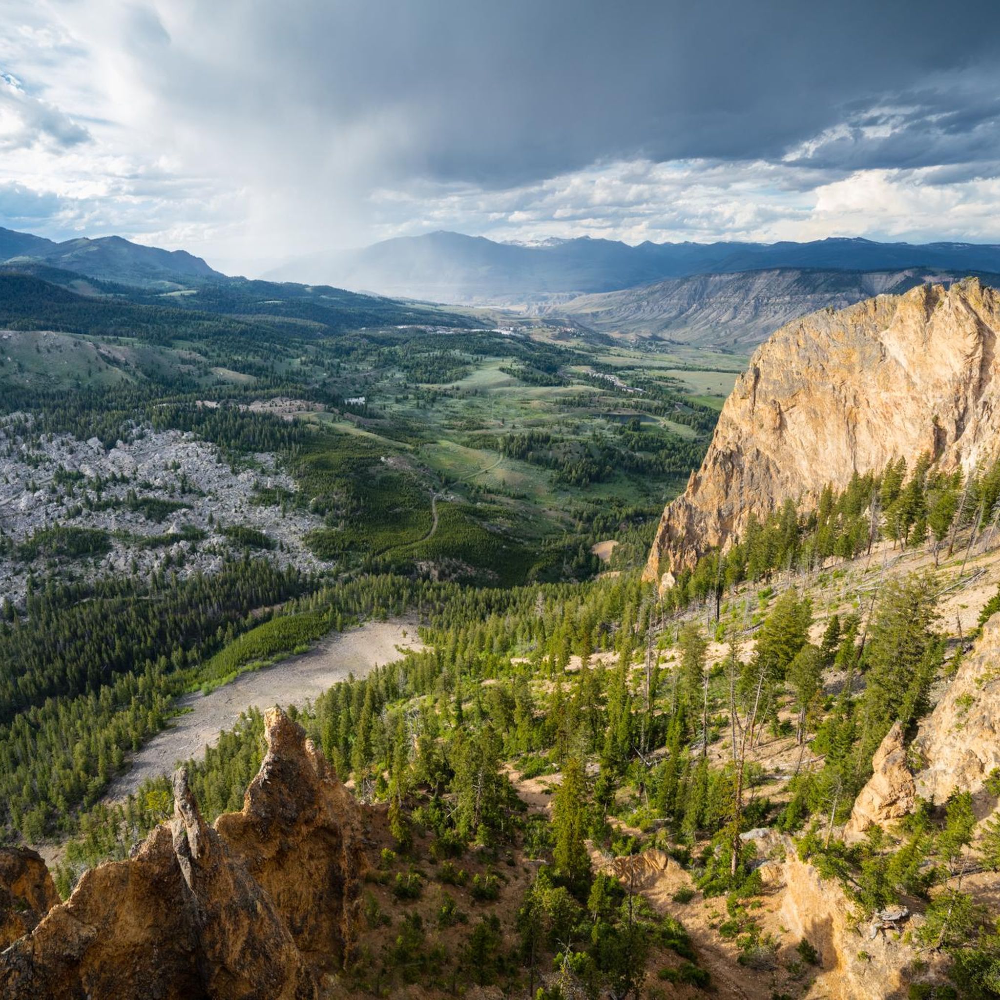
Touring cycling in the Gallatin Range offers diverse landscapes, from temperate river valleys and expansive ranch lands to challenging mountain climbs. The region features rugged mountains, vast meadows, and dense forests, providing varied terrain for cyclists. This area is characterized by open ridges, sagebrush slopes, and pristine waterways, creating a scenic backdrop for touring cycling routes. The network includes paths along rivers and through forested sections, with options for significant elevation gain.
Best touring cycling routes in the Gallatin Range
…Last updated: June 28, 2026
17
riders
19.2km
01:15
130m
130m
Easy bike ride. Great for any fitness level. Mostly paved surfaces. Suitable for all skill levels.
5.0
(1)
3
riders
13.9km
01:18
70m
70m
Easy bike ride. Great for any fitness level. Mostly paved surfaces. Suitable for all skill levels.

Sign up for free
12.0km
00:44
60m
60m
Easy bike ride. Great for any fitness level. Mostly paved surfaces. Suitable for all skill levels.
5.0
(1)
8
riders
Easy bike ride. Great for any fitness level. Mostly paved surfaces. Suitable for all skill levels.
7
riders
Easy bike ride. Great for any fitness level. Mostly paved surfaces. Suitable for all skill levels.
7
riders
19.0km
01:36
330m
330m
Moderate bike ride. Good fitness required. Mostly paved surfaces. Suitable for all skill levels.
7
riders
48.0km
04:59
890m
890m
Hard bike ride. Very good fitness required. Mostly paved surfaces. Suitable for all skill levels.
6
riders
17.4km
01:13
210m
210m
Moderate bike ride. Good fitness required. Mostly paved surfaces. Suitable for all skill levels.
4
riders
14.6km
01:11
210m
210m
Moderate bike ride. Good fitness required. Mostly paved surfaces. Suitable for all skill levels.
3
riders
12.4km
01:00
190m
190m
Moderate bike ride. Good fitness required. Mostly paved surfaces. Suitable for all skill levels.
Get access to more routes and recommendations from other explorers.
Sign up for free
Already have an account?
Our route recommendations are based on thousands of hikes, rides, and runs completed by other people on komoot.
Start today with a free account
Your next adventure awaits.
Login or Signup

Tips from the Community

Commonly referred to as the "Cow Trails," the Highland Glen Nature Preserve has a network of single track and double track trails that are open to biking, running, and hiking. In the winter, this is a cross country ski area. The trails get their nickname from the herd of cows that lives in the preserve. Make sure to always close and latch any gates that you go through!
0
0

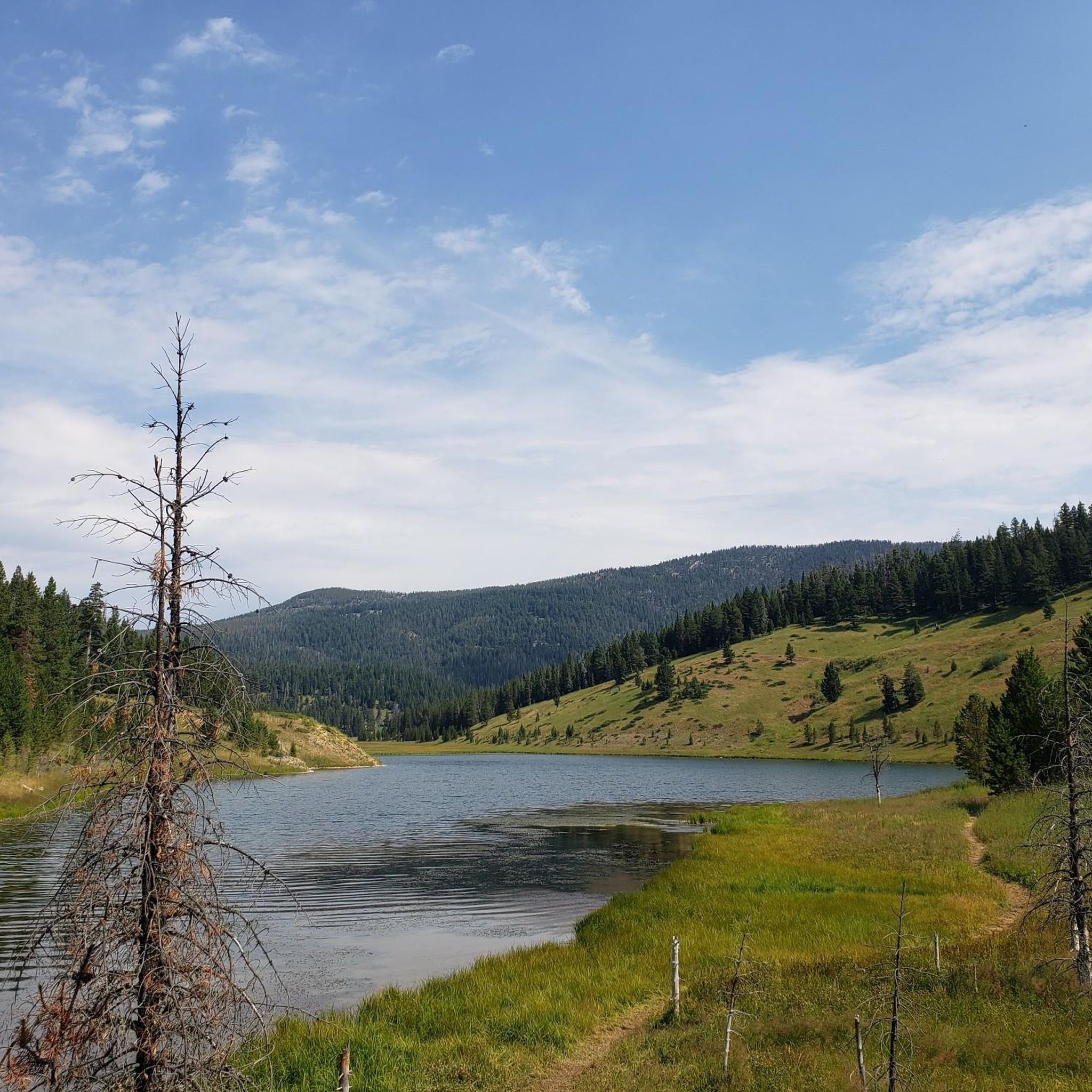
Beautiful forest lake with meadows and trails and a Forest Service Cabin you can reserve.
0
0

The Roosevelt Arch is a historic stone gateway at Yellowstone’s north entrance in Gardiner, Montana. Built in 1903, it famously bears the inscription “For the Benefit and Enjoyment of the People.”
0
0
This is the northern terminus for the Gallagator Trail. The trail is a popular route for walkers and cyclists. It is crushed gravel and takes you into the center of Bozeman via a beautiful tree lined gravel path.
0
0
This is the trail head for the Triple Tree Trail. It is a popular loop in the southern suburbs of Bozeman, frequented by runners, hikers, and bikers. Expect to encounter plenty of other trail users, especially on nice days. Much of the route winds through forested areas, eventually leading to a bald summit with a bench and sweeping views of Bozeman and the Bridger Range. The lookout is exposed, offering little to no shade.
0
0

The Abandoned Railroad Bed Bike Trail is near Yellowstone National Park's North Entrance and offers an 8-mile (13 km) round-trip adventure along a historic railway corridor. Starting northwest of the Heritage and Research Center in Gardiner, Montana, the trail parallels the Yellowstone River and provides views of Electric Peak and opportunities to observe local wildlife such as pronghorn, elk, and bison. When you start out, you will need to walk your bike a short distance from Old Yellowstone Trail Road until you reach the old railroad bed that comprises the bike trail. Mountain or gravel bikes are recommended because the trail a gently sloping gravel and dirt surface. Due to limited parking at the pullout on the old Yellowstone Road near the Heritage and Research Center, it's good to arrive early. Like everywhere in Yellowstone both black and grizzly bears are active in the area, so be aware and carry bear spray. Additionally, there are sometimes cactus along the roadbed; using tubeless tires with sealant can help prevent punctures.
0
0

Great single track on an overgrown old forest road. Ripping descent back to the road!
0
0

don'tiss the turn up the single track. My tracker went into sleep, but if you sleep you might miss the turn
0
0
Frequently Asked Questions
How many touring cycling routes are available in the Gallatin Range?
The Gallatin Range offers a wide selection of touring cycling routes, with over 40 options available. These routes cater to various skill levels, including 19 easy, 18 moderate, and 6 difficult trails.
What is the best time of year for touring cycling in the Gallatin Range?
Late summer is generally considered the peak season for touring cycling in the Gallatin Range due to favorable weather conditions. However, the diverse terrain means conditions can vary, so it's always wise to check local forecasts before heading out.
What kind of terrain can I expect on touring cycling routes in the Gallatin Range?
The Gallatin Range offers incredibly diverse terrain, from temperate river valleys and expansive ranch lands to challenging mountain climbs. You'll encounter rugged mountains, vast meadows, dense forests, open ridges, and sagebrush slopes. Some routes feature significant elevation gain, while others follow relatively flat paths like former railway lines.
Are there easy touring cycling routes suitable for beginners or casual rides?
Yes, the Gallatin Range has 19 easy touring cycling routes perfect for beginners or those seeking a relaxed ride. A great option is the Abandoned Railroad Bed Bike Trail, which follows a former railway line, offering a relatively flat and accessible surface for about 8.7 miles (13.9 km).
Are there challenging touring cycling routes for experienced cyclists?
Absolutely. For experienced cyclists looking for a challenge, there are 6 difficult routes in the Gallatin Range. Many routes involve significant elevation changes and can include unpaved segments, offering an immersive experience in a wild landscape. The region's extensive trail systems, including parts of the Gallatin Trail, can lead to high alpine areas with demanding climbs.
What natural features or landmarks can I see along the touring cycling routes?
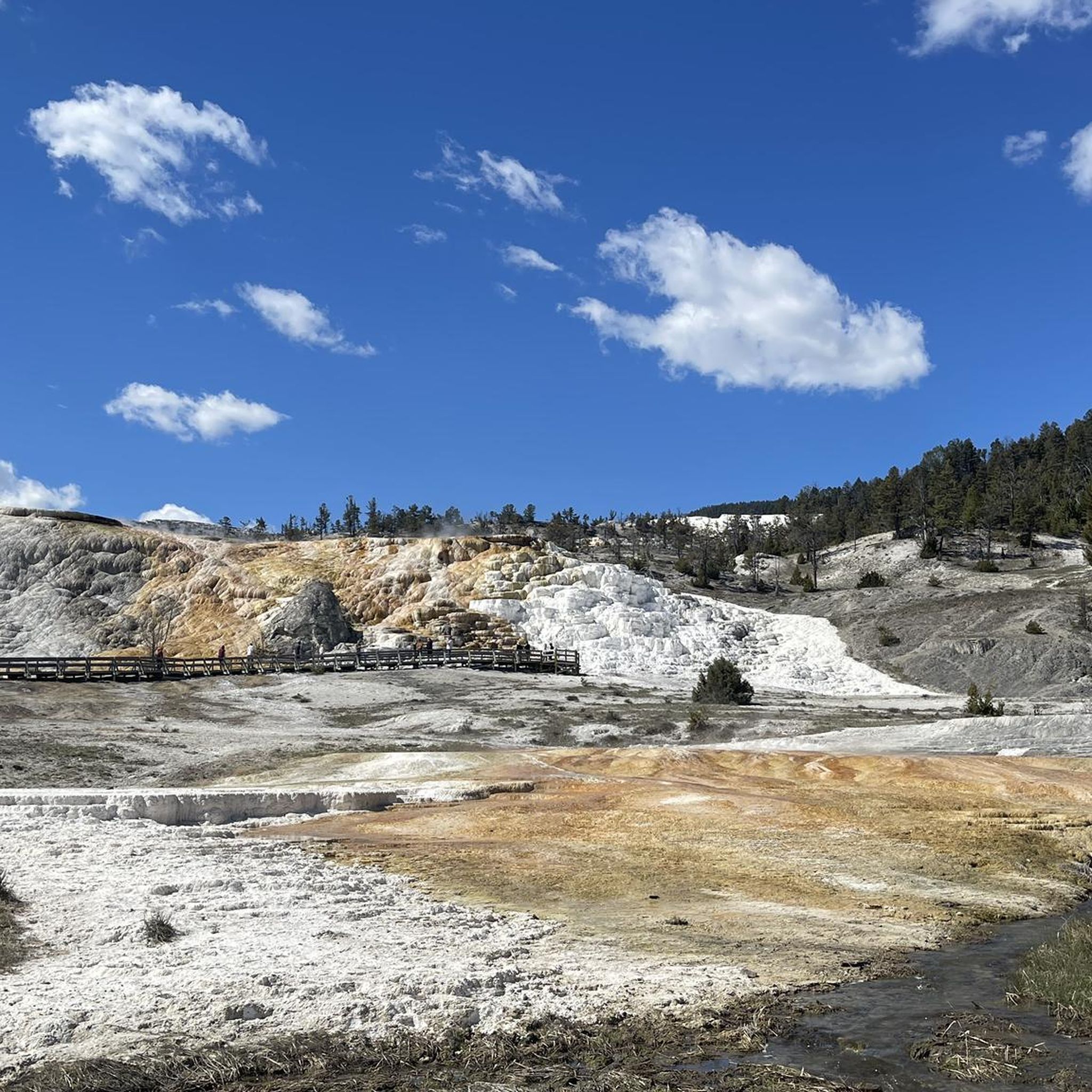
The Gallatin Range is rich in natural beauty. You might cycle past the picturesque Gallatin River, high mountain lakes like Hyalite Reservoir, or even discover waterfalls. The region is also home to the world's most extensive petrified forest. For specific landmarks, consider exploring areas near Mammoth Hot Springs Terraces or various mountain peaks such as Mount Blackmore and Storm Castle.
Are there any circular touring cycling routes in the Gallatin Range?
Yes, several routes in the Gallatin Range are designed as loops, allowing you to start and end at the same point. An example is the Hyalite Reservoir loop from Practice Rock, which is a moderate 15.7-mile (25.2 km) trail leading through forested areas and alongside the reservoir.
What kind of wildlife might I encounter while cycling in the Gallatin Range?
The Gallatin Range is a prime location for wildlife viewing. Cyclists might spot grizzly bears, bighorn sheep, mountain goats, mule deer, elk herds, wolves, and lynx. It's important to be aware of your surroundings and carry bear spray, especially in more remote areas.
Are there family-friendly touring cycling routes in the Gallatin Range?
Many of the easy routes are suitable for families. The Gallagator Trail and Path to the M is an excellent choice, connecting urban paths with scenic sections over 11.9 miles (19.2 km), offering a pleasant experience for all ages.
Can I bring my dog on touring cycling routes in the Gallatin Range?
While many areas in the Gallatin National Forest are dog-friendly, specific regulations can vary by trail and land management agency. It's best to check the rules for each individual route or park before bringing your dog, and always keep them on a leash and clean up after them.
What do other touring cyclists enjoy the most about touring cycling in the Gallatin Range?
The area is highly rated by the komoot community, with an average score of 4.75 stars from over 9 reviews. Reviewers often praise the diverse landscapes, from serene river valleys to challenging mountain vistas, and the immersive experience in a wild and beautiful environment.
Is parking available near the touring cycling routes?
Parking is generally available at trailheads and designated access points for many touring cycling routes throughout the Gallatin Range and surrounding areas like Bozeman. Specific parking availability can vary, so it's advisable to check the details for your chosen route on komoot before you go.
Most popular routes in the Gallatin Range
Most popular attractions in the Gallatin Range

Get inspired with the komoot mobile app


