The best MTB trails around Galgenen
4.5
(2766)
15,398
riders
288
rides
Mountain bike trails around Galgenen offer diverse landscapes for riders, characterized by significant forested areas and agricultural land. The region provides varied terrain, from gentle paths to challenging climbs, with panoramic views of Lake Zurich, Lake Wägital, and the Glarner and Urner Alps. These natural features contribute to a rich outdoor environment suitable for mountain biking.
Best mountain bike trails around Galgenen
- The most popular mountain bike trail is Stöckli Hut – Lööliwald–Talbach Trail loop from Siebnen-Wangen, a 22.3…
Last updated: July 1, 2026
4.8
(40)
221
riders
36.2km
03:31
1,060m
1,060m
Hard mountain bike ride. Very good fitness required. Advanced riding skills necessary. Some portions of the route may require you to push your bike.
4.5
(28)
139
riders
22.8km
02:05
750m
750m
Moderate mountain bike ride. Good fitness required. Suitable for all skill levels.

Sign up for free
4.8
(25)
143
riders
32.3km
03:16
1,150m
1,150m
Hard mountain bike ride. Very good fitness required. Suitable for all skill levels.
4.5
(31)
108
riders
37.1km
03:21
1,060m
1,060m
Hard mountain bike ride. Very good fitness required. Advanced riding skills necessary. Some portions of the route may require you to push your bike.
4.8
(32)
116
riders
46.2km
02:33
110m
110m
Moderate mountain bike ride. Good fitness required. Suitable for all skill levels.
Get access to more routes and recommendations from other explorers.
Sign up for free
Already have an account?
Our route recommendations are based on thousands of hikes, rides, and runs completed by other people on komoot.
Start today with a free account
Your next adventure awaits.
Login or Signup
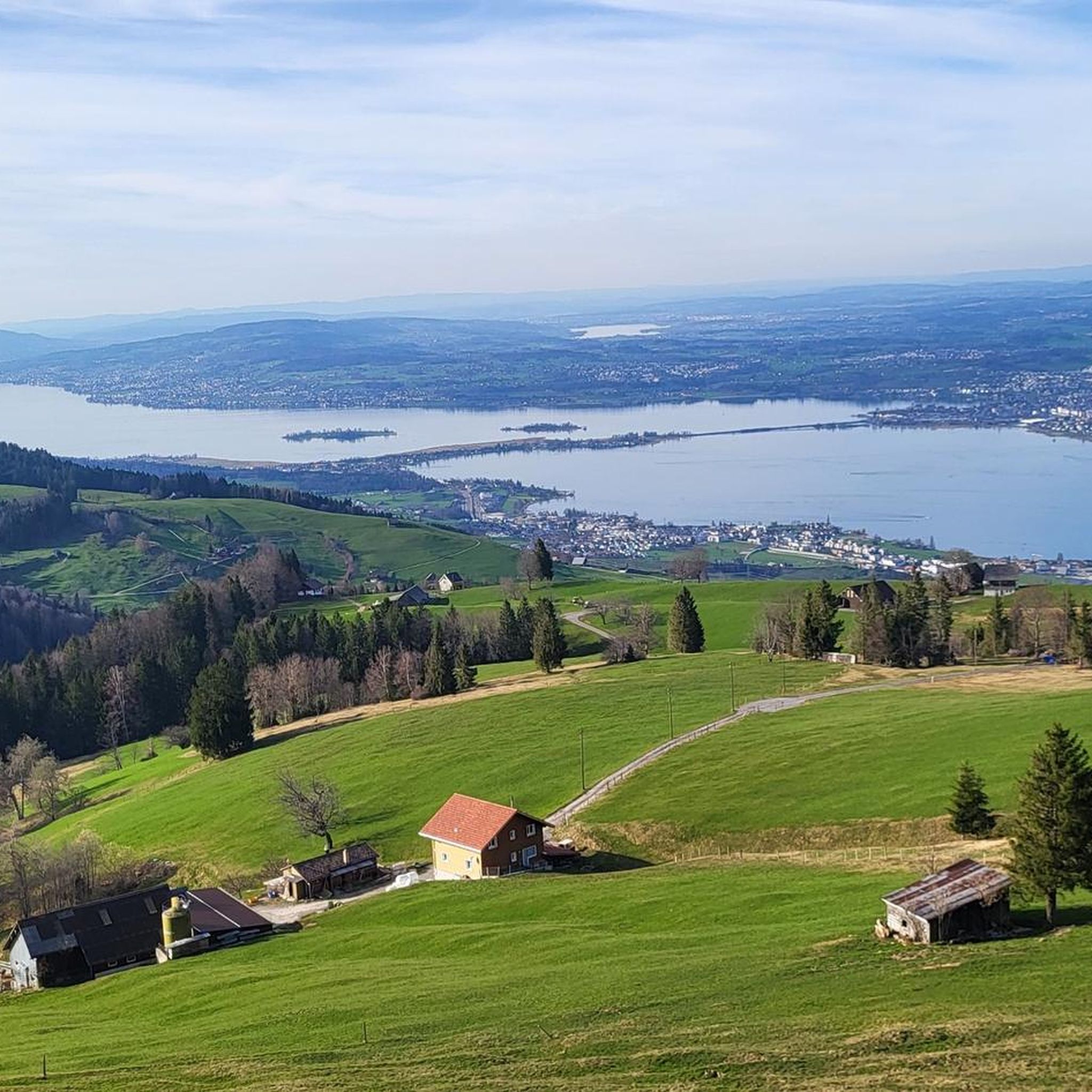
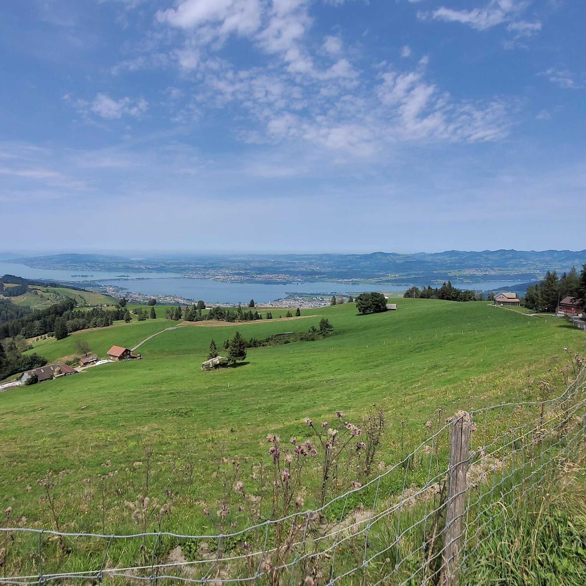
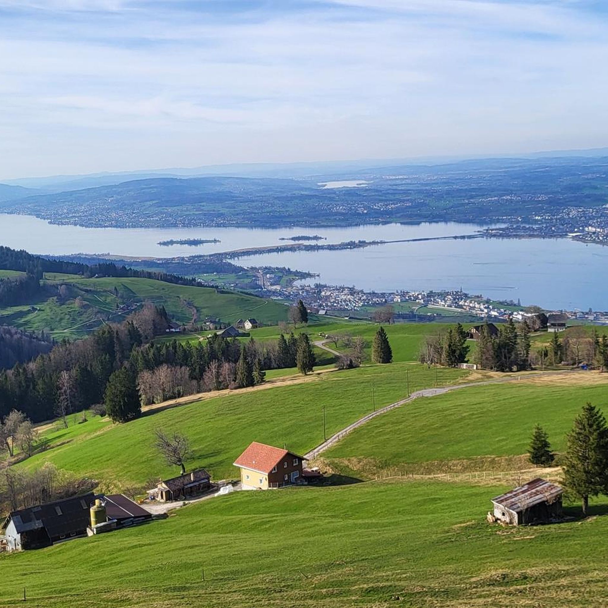
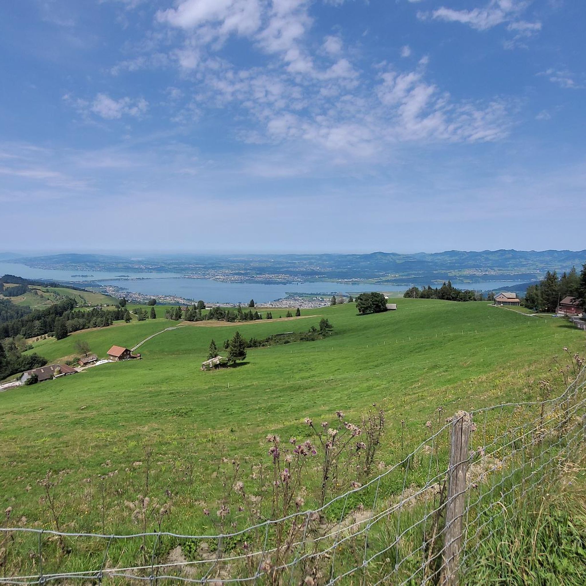

Tips from the Community

Many bunkers and simply a great area.
0
0

When the weather is nice, the food carts are open with tables. Swimming in the Linth: A matter of course for locals, for others it can be a challenge to get into or jump into the cold, rushing Linth. With little water (July/August), the Linth can also be waded through.
0
0

The restaurant reopens in 2025. Rather expensive.
1
0

Small but well-equipped public barbecue area near Stöcklichrüz.
0
0

Great descent to Pfäffikon/SZ
0
0

Very nice vantage point above the Luegeten on the road up to St. Meinrad (Etzelpass).
1
0

Bit bumpy with large stones on this last segment, but a nice place for a break to admire the view (and whistle).
0
0
Frequently Asked Questions
How many mountain bike trails are available around Galgenen?
There are over 290 mountain bike trails around Galgenen, offering a wide variety of routes for different skill levels and preferences. The komoot community has explored more than 15,000 of these routes.
What are the difficulty levels of mountain bike trails in Galgenen?
The trails around Galgenen cater to various skill levels. You'll find approximately 50 easy routes, over 150 moderate routes, and around 80 difficult trails, ensuring options for beginners to experienced riders.
Are there any circular mountain bike routes in Galgenen?
Yes, many of the mountain bike trails in Galgenen are designed as loops. For example, the Ruchweid – Helamu-Hütte Water Fountain loop from Lachen SZ is a popular moderate circular route, and the Sattelegg-Rinderweidhoren – Ruchweid loop from Siebnen-Wangen offers a more challenging circular experience.
When is the best time of year for mountain biking in Galgenen?
Galgenen's mountain biking season generally runs from spring through autumn. During these months, the weather is typically mild, and the trails are in optimal condition. Winter conditions can make some higher elevation trails inaccessible or challenging due to snow and ice.
What natural features or landmarks can I see while mountain biking in Galgenen?
The region is rich in natural beauty. You can encounter features like Lake Wägital, the Neuhüslertobel Gorge, and the Egelsee (Moor Lake). The Hänggelgiesse Nature Reserve also offers a unique natural experience.
Are there specific viewpoints along the trails in Galgenen?
Yes, Galgenen offers numerous panoramic viewpoints. From the Gross Aubrig Summit, you can enjoy expansive views of Lake Zurich, Lake Wägital, and the Glarner and Urner Alps. The Planggenstock and Hirzli also provide rewarding vistas, with a picturesque ridge path connecting them. The Fläschlinochi is another notable viewpoint.
How can I reach the mountain bike trails in Galgenen using public transport?
Galgenen is accessible by public transport, with train stations in nearby Siebnen-Wangen and Lachen SZ. From these points, you can often connect to local bus services that reach closer to various trailheads. It's advisable to check local transport schedules for specific routes.
Is there parking available near the mountain bike trailheads?
Yes, many trailheads and starting points for mountain bike routes in the Galgenen area offer designated parking facilities. Popular starting locations like Siebnen-Wangen and Lachen SZ typically have parking options available for visitors.
Are there places to eat or stay overnight near the mountain bike trails in Galgenen?
The Galgenen region, including nearby towns like Lachen and Siebnen-Wangen, provides various options for refreshments and accommodation. You'll find cafes, restaurants, and guesthouses to refuel and rest after your ride. Some routes, like the Ruchweid – Helamu-Hütte Water Fountain loop from Lachen SZ, even pass by specific huts or water sources.
Are there family-friendly mountain bike trails in Galgenen?
While many trails in Galgenen involve significant elevation, there are easier routes suitable for families. These often traverse agricultural lands and forested areas with less challenging climbs. For a more relaxed experience, consider routes along the Linth Canal, such as the Linth Canal – Linthwerk Hänggelgiessen loop from Siebnen-Wangen, which has minimal elevation gain.
Can I bring my dog on the mountain bike trails in Galgenen?
Generally, dogs are welcome on mountain bike trails in Galgenen, especially in the extensive forested and agricultural areas. However, it's always recommended to keep dogs on a leash, particularly in nature reserves, near livestock, or on busy trails, and to be mindful of local regulations.
What do other mountain bikers appreciate most about the trails in Galgenen?
The mountain bike trails in Galgenen are highly rated by the komoot community, with an average score of 4.5 stars from over 2,500 reviews. Riders frequently praise the diverse landscapes, from quiet woodlands to open agricultural fields, and the rewarding panoramic views of the surrounding lakes and Alps.
Most popular routes around Galgenen
Most popular attractions around Galgenen

Get inspired with the komoot mobile app


Explore more
Browse the best MTB trails in other regions.
