The best MTB trails around Carvalhal
3.7
(5)
32
riders
7
rides
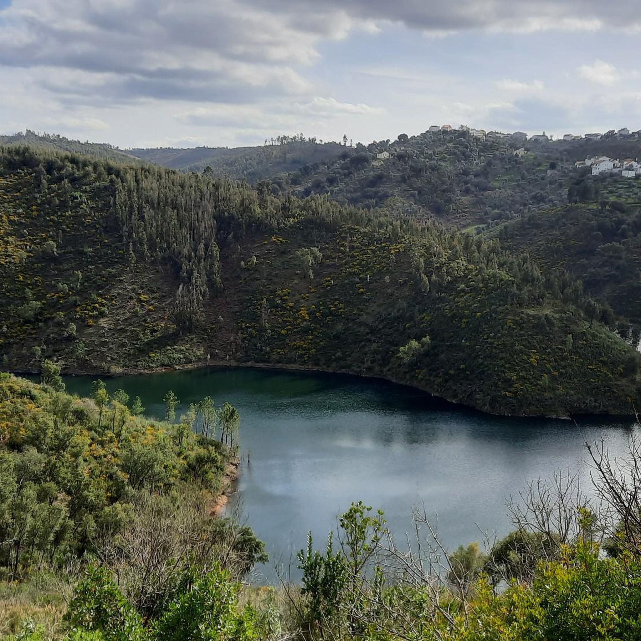
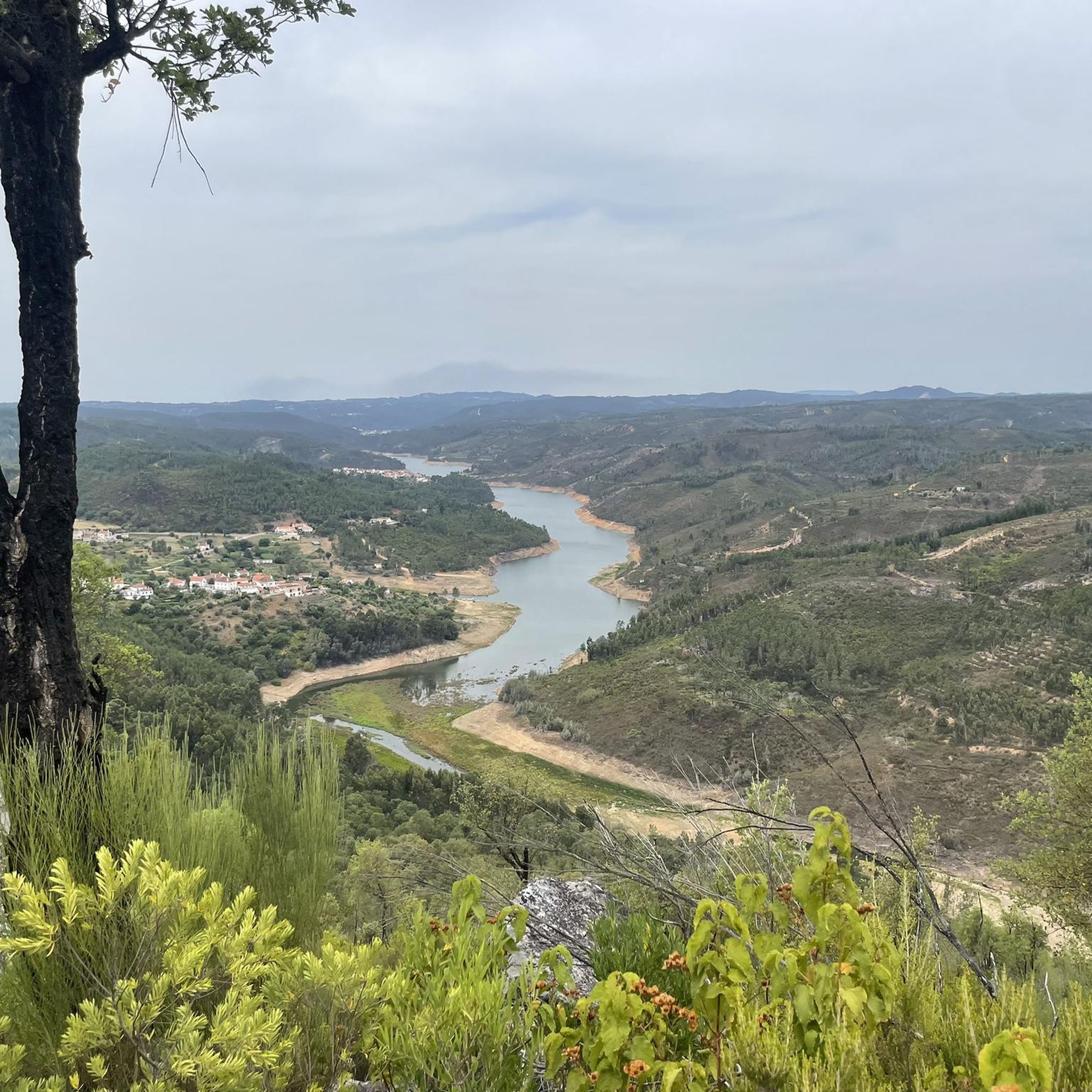
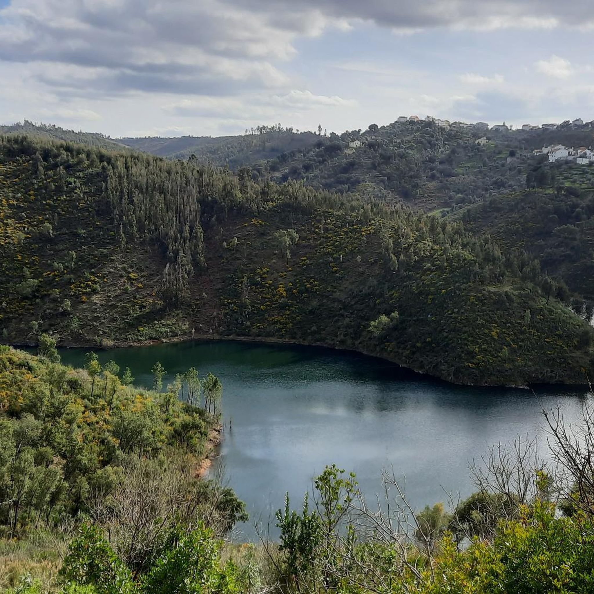
Mountain biking around Carvalhal offers access to a diverse and rugged natural landscape in Central Portugal. The region features peaceful mountains, green valleys, and extensive forests, providing varied terrain for cyclists. Rivers like the Ceira and Mondego carve through the landscape, creating scenic routes and dramatic gorges. The area is characterized by a mix of challenging climbs and serene paths through woodlands.
Best mountain bike trails around Carvalhal
- The most popular mountain bike trail is Rest Area 3 loop from…
Last updated: October 11, 2026
8
riders
55.0km
05:09
1,240m
1,240m
Hard mountain bike ride. Very good fitness required. Suitable for all skill levels.
4.0
(2)
3
riders
30.7km
02:14
340m
340m
Moderate mountain bike ride. Good fitness required. Suitable for all skill levels.

3
riders
75.9km
05:24
1,300m
1,300m
Hard mountain bike ride. Very good fitness required. Suitable for all skill levels.
3
riders
77.7km
05:30
1,280m
1,280m
Hard mountain bike ride. Very good fitness required. Suitable for all skill levels.
1
riders
Moderate mountain bike ride. Good fitness required. Advanced riding skills necessary.
Get access to more routes and recommendations from other explorers.
Already have an account?
Our route recommendations are based on thousands of hikes, rides, and runs completed by other people on komoot.
Start today with a free account
Your next adventure awaits.

Tips from the Community

Small cycle path along the banks of the Zêzere River
1
0
Located in Mata de São Lourenço, the park is a calm and peaceful natural space, covering a total area of 14 hectares. Within the urban perimeter of the city of Abrantes, it is an important social gathering spot.
0
0

Hydration and protection
0
0
Inaugurated in 1892, this beautiful bridge is 23 meters above the river and is 200 meters long. It is the last bridge over the Zêzere River before it flows into the Tagus. Next to this bridge there is an overnight park for motorhomes overlooking the river, equipped with free drinking water, black water deposits and waste water.
4
0
With an area of 25,000 m2, the Camping Park of Castelo do Bode, under the responsibility of the Federation of Camping and Mountaineering of Portugal, is located in the Parish of Martinchel, next to the Castelo do Bode Dam. Services and infrastructures: Hot water; WC; Games Park; Children's Park; Complementary accommodation (3 Bungalows (4 people), villa with 2 bedrooms equipped with private bathroom, kitchen and living room and two more single rooms); Shadows; Coffee; Restaurant; Telephone; Electric energy; Gas; Pedestrian routes; multipurpose field
3
0

Frequently Asked Questions
What kind of terrain can I expect on mountain bike trails around Carvalhal?
The Carvalhal region, particularly near Góis, offers a diverse and rugged natural landscape. You'll find peaceful mountains, green valleys, and extensive forests. Trails often feature challenging climbs and serene paths through woodlands, with rivers like the Ceira and Mondego carving scenic routes and dramatic gorges through the landscape.
Are there mountain bike trails suitable for beginners in Carvalhal?
Yes, Carvalhal offers trails for various skill levels. For those looking for an easier ride, consider the S. Tiago – Lomba S. Tiago loop from Sardoal or the Castelo de Abrantes loop from Abrantes. These routes provide a gentler introduction to the region's beautiful scenery.
What are some of the more challenging mountain bike routes in the area?
For experienced mountain bikers seeking a challenge, Carvalhal has several difficult routes. The Rest Area 3 loop from Continental Portugal is a demanding 47.1-mile (75.8 km) trail with significant elevation changes. Another top choice is the Água Formosa loop from Água Formosa, a difficult 34.3-mile (55.2 km) path exploring extensive forests and mountain terrain.
Are there any circular mountain bike routes available?
Yes, many of the mountain bike trails in Carvalhal are designed as loops, allowing you to start and finish at the same point. Examples include the Rest Area 3 loop from Continental Portugal, the Água Formosa loop from Água Formosa, and the Bridge over the Nabão River – Mouchão Park loop from Martinchel.
What natural features or landmarks can I expect to see while mountain biking in Carvalhal?
The region is rich in natural beauty. You'll encounter dramatic quartzite cliffs and gorges, especially along rivers like the Ceira. The Serra da Lousã mountain range offers spectacular vistas. You might also discover charming historic schist villages integrated into the landscape. For specific natural attractions, consider visiting Cascata dos Pios or Fonte do Lavadouro, both waterfalls, or the river beach at Praia Fluvial do Penedo Furado.
What is the best season for mountain biking in Carvalhal?
Carvalhal is generally pleasant for mountain biking for much of the year. Spring and autumn offer mild temperatures and lush landscapes, ideal for exploring. Summer can be warm, so early morning or late afternoon rides are recommended. The region's diverse terrain means trails can be enjoyed across different seasons, though some paths might be affected by heavy rain in winter.
Are there any family-friendly mountain bike trails in Carvalhal?
While many trails offer varied terrain, some are more suitable for families. The easier routes, such as the S. Tiago – Lomba S. Tiago loop from Sardoal, are a good starting point for families looking for a less strenuous ride through scenic areas. These routes typically have less elevation gain and smoother paths.
Can I bring my dog on the mountain bike trails?
Many natural trails in Carvalhal are generally dog-friendly, especially those through forests and along riverbanks. However, it's always advisable to keep your dog on a leash, especially in areas with wildlife or near roads, and to check local regulations for specific trails or protected areas before you go.
Are there places to explore beyond mountain biking in Carvalhal?
Absolutely! Carvalhal and the surrounding Góis region offer a wide array of outdoor activities. You can enjoy hiking through forests and along riverside paths, or engage in water activities like canoeing, kayaking, or swimming in beautiful river pools. Exploring the charming Schist Villages (Aldeias do Xisto) provides a unique cultural experience amidst picturesque architecture.
What is the typical duration for mountain bike trails in Carvalhal?
Trail durations vary significantly based on difficulty and distance. For example, the moderate Bridge over the Nabão River – Mouchão Park loop from Martinchel typically takes around 2 hours 25 minutes. Longer, more difficult routes like the Rest Area 3 loop from Continental Portugal can take over 5 hours to complete.
Are there any facilities or places to stop for refreshments near the mountain bike trails?
The region features charming historic schist villages and towns that often have local cafes, restaurants, and accommodation options. While specific trailside facilities might be limited, planning your route to pass through or near these villages can provide opportunities for refreshments and breaks. It's always a good idea to carry sufficient water and snacks.
What are the elevation changes like on Carvalhal's mountain bike trails?
The mountain bike trails in Carvalhal are characterized by significant elevation changes, reflecting the region's mountainous and valley landscape. Difficult routes, such as the Rest Area 3 loop from Continental Portugal, can feature over 1,200 meters (3,900 feet) of ascent and descent, providing a challenging workout and panoramic views.
Most popular routes around Carvalhal
Most popular attractions around Carvalhal

Get inspired with the komoot mobile app


Explore more
Browse the best MTB trails in other regions.
