The best cycling routes around Serra De Santo António
3.8
(7)
116
riders
20
rides
Touring cycling around Serra De Santo António features routes traversing the Aire and Candeeiros Mountains, characterized by varied elevations and natural landscapes. The region includes areas with significant climbs, as indicated by routes with over 1000 meters of elevation gain. Cyclists can expect a mix of open terrain and forested sections, offering diverse riding experiences.
Best touring cycling routes around Serra De Santo António
- The most popular touring cycling route is Charneca Circular Route — Aire and Candeeiros Mountains,…
Last updated: August 18, 2026
3
riders
46.0km
04:25
780m
770m
Hard bike ride. Very good fitness required. Mostly paved surfaces. Suitable for all skill levels.
8
riders
54.2km
03:45
810m
810m
Hard bike ride. Very good fitness required. Mostly paved surfaces. Suitable for all skill levels.

Sign up for free
4
riders
31.4km
01:55
270m
270m
Moderate bike ride. Good fitness required. Mostly paved surfaces. Suitable for all skill levels.
4
riders
78.9km
05:13
1,060m
1,060m
Hard bike ride. Very good fitness required. Mostly paved surfaces. Suitable for all skill levels.
6
riders
40.8km
03:08
580m
580m
Hard bike ride. Very good fitness required. You may need to push your bike for some segments of this route.
Get access to more routes and recommendations from other explorers.
Sign up for free
Already have an account?
Our route recommendations are based on thousands of hikes, rides, and runs completed by other people on komoot.
Start today with a free account
Your next adventure awaits.
Login or Signup
Tips from the Community

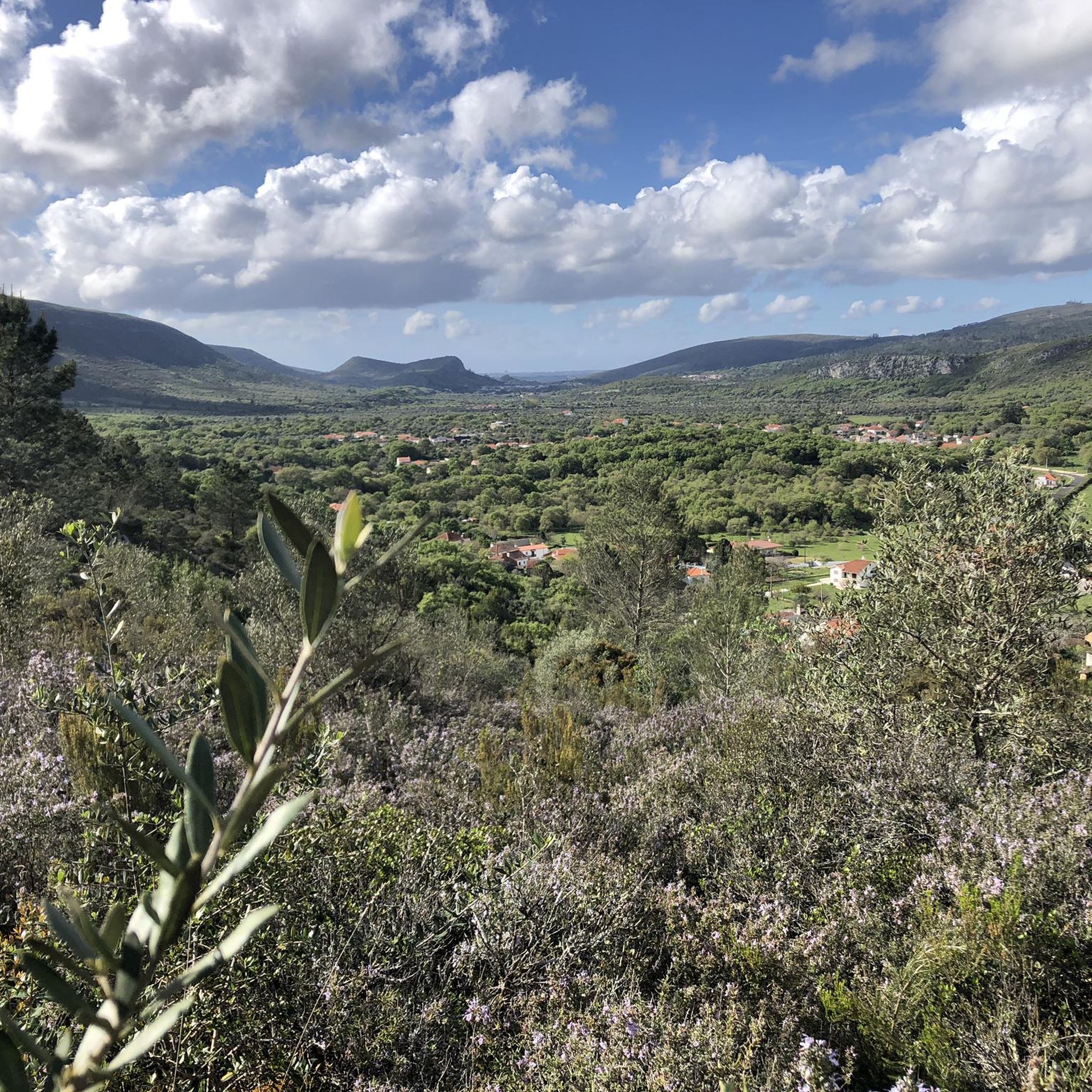
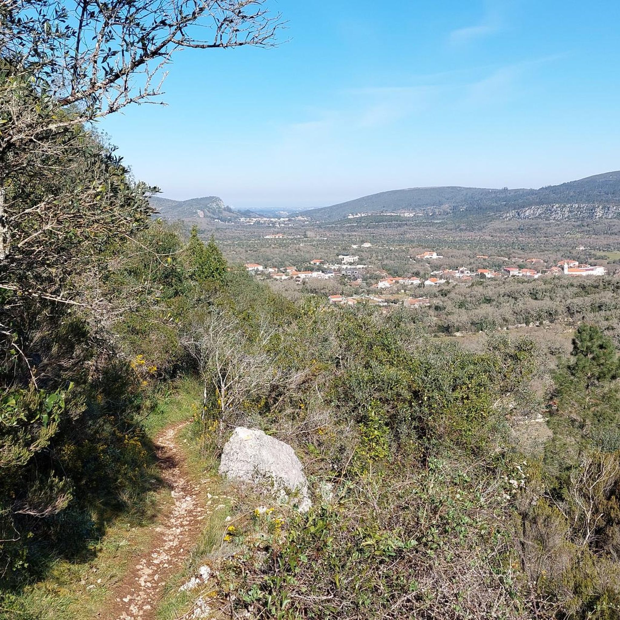
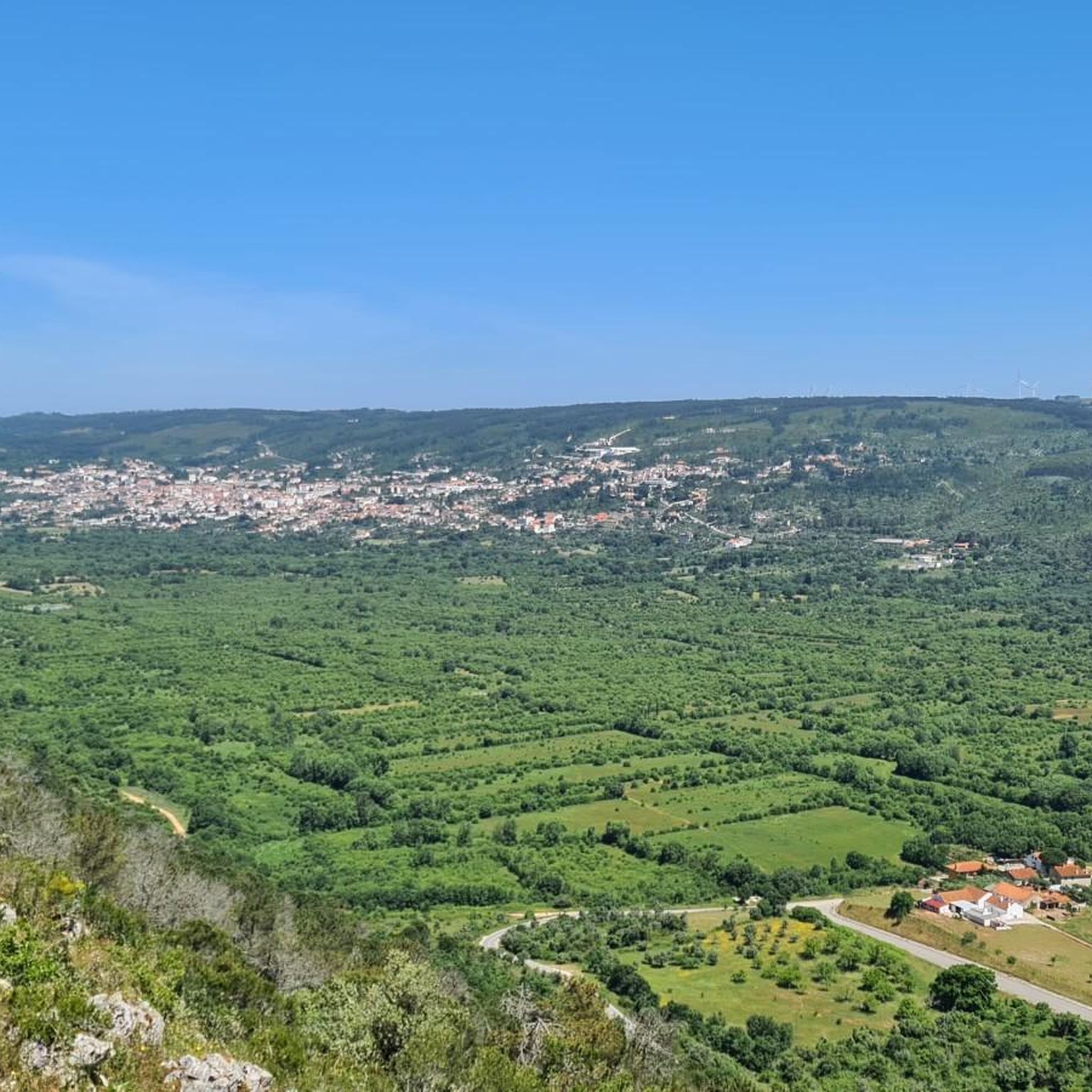
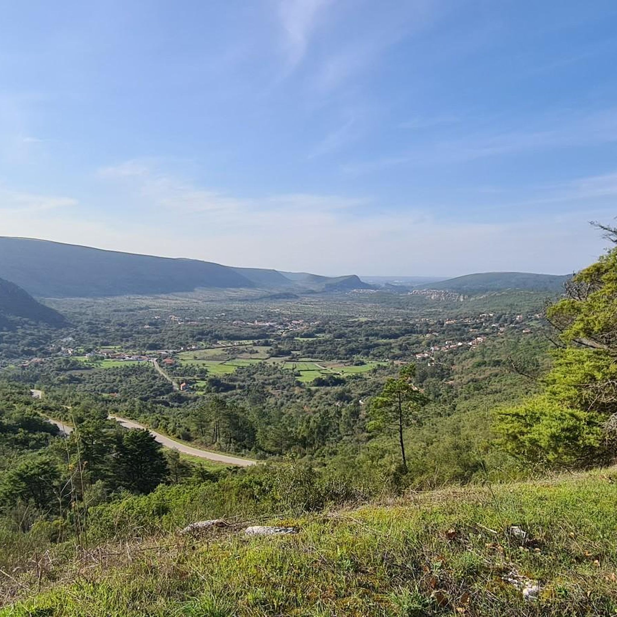
The region is ideal for nature tourism and outdoor activities: Cabeço de Santa Marta: An imposing natural viewpoint offering panoramic views and a central point for trekking and mountain biking routes. Trails and Routes: The parish is crossed by several routes, such as the Santa Marta Route (PR11 ACN), popular with hikers and mountain bikers. Climbing: There is a dedicated climbing area at Cabeço de Santa Marta. Heritage: Local history can be explored in the exhibition "From Saint Peter to Saint Martha," which celebrated the parish's 100th anniversary at the Alcanena Municipal Museum.
1
0
Moitas Venda is a Portuguese parish belonging to the municipality of Alcanena, in the district of Santarém. Situated between the Serra de Aire and the Serra dos Candeeiros mountain ranges, the town celebrated its centenary of elevation to parish status in 2025 (created on April 11, 1925).
1
0

Gorgeous views! The climb to Alqueidão da Serra is tough for beginners.
1
0

Five-star local accommodation for the friendliness, welcome, service and kindness of Katia who helped us during our stay. Mr. Luís, the owner, is a cyclist and despite being on vacation, was always available to give me tips on the routes to follow. I highly recommend it, and the cat "Pedal" is a little dear who only wants to be pampered.
0
0

The magnificent entrance portico of the Igreja de Santa Maria da Vitória is unique in the history of Portuguese art, a work by the Master Huguet (1402–1438). It features an elaborate iconographic ensemble comparable only to the great porticoes of European cathedrals: six apostles on each side, virgins, martyrs, popes, monks, angel figures, God, and the four evangelists...
1
0
After the revolution of 1383, Portugal found itself in a difficult conflict with the neighboring Kingdom of Castile. The battle was decided in 1385 when the Castilian and Portuguese armies clashed at the Battle of Aljubarrota. The Castilians outnumbered and were better armed. As a military leader, Nuno Álvares Pereira loyally stood by his patron, John of Avis. The Portuguese achieved a resounding victory, which is attributed in particular to the strategic genius of Nuno Álvares Pereira. With this victory, the Castilian claims to Portugal were permanently repelled. John of Avis was proclaimed king by the Cortes, as John I of Portugal, thus establishing the second Portuguese dynasty, the House of Avis. Nuno Álvares Pereira became a national hero, and the grateful king showered him with honors and material possessions.
2
0

Nice park where you can do gymnastic activities with the equipment provided or enjoy a bit of relaxation.
0
0
Frequently Asked Questions
How many touring cycling routes are available in Serra De Santo António?
Serra De Santo António offers a diverse network of over 20 touring cycling routes. These routes traverse the varied landscapes of the Aire and Candeeiros Mountains, providing options for different skill levels.
What are the difficulty levels of touring cycling routes in Serra De Santo António?
The routes in Serra De Santo António range from moderate to difficult. You'll find approximately 12 moderate routes and 10 difficult routes, often featuring significant elevation gains and varied terrain. There are also a couple of easier options for those seeking a less strenuous ride.
Are there any family-friendly touring cycling routes in Serra De Santo António?
While many routes in Serra De Santo António involve significant climbs and are rated moderate to difficult, there are a few easier options available. For families, it's best to look for routes with lower elevation gain and shorter distances. Always check the route details for specific suitability.
Are there circular touring cycling routes in Serra De Santo António?
Yes, many touring cycling routes in Serra De Santo António are designed as loops, allowing you to start and finish at the same point. An example is the Ribeira Branca Bridge loop from Zibreira, which offers a moderate ride through varied landscapes.
What kind of attractions can I see along the touring cycling routes?
The touring cycling routes in Serra De Santo António often pass by a variety of natural and cultural attractions. You might encounter natural monuments like the Peão Fountain - Monsanto, or explore caves such as Grutas de Mira de Aire. Some routes also lead past historical sites like the Batalha Monastery.
Are there routes suitable for advanced touring cyclists?
Absolutely. Serra De Santo António is well-suited for advanced touring cyclists, with 10 routes rated as difficult. These routes, such as the Moitas Venda – Peão Fountain - Monsanto loop from Alcanena, often feature over 1000 meters of elevation gain and cover longer distances, providing a challenging and rewarding experience.
When is the best time of year for touring cycling in Serra De Santo António?
The region's climate generally makes spring and autumn ideal for touring cycling. During these seasons, temperatures are milder, and the natural landscapes are particularly vibrant. Summer can be quite warm, especially on routes with less shade, while winter might bring cooler, wetter conditions.
What should I consider regarding weather conditions for cycling in this region?
Given the varied elevations and open terrain, weather conditions can change. It's advisable to check the forecast before heading out. Be prepared for sun exposure on open sections and potential wind, especially in higher areas. Layered clothing is recommended to adapt to temperature fluctuations.
Are there options for public transport access to the routes?
While specific public transport links directly to trailheads can vary, many towns and villages within or near Serra De Santo António are accessible by regional buses. It's best to research local bus schedules to see if they align with your chosen starting points. Some routes may require a short ride or transfer from a public transport hub.
Is parking available near the touring cycling routes?
Yes, parking is generally available in the towns and villages that serve as common starting points for these routes. For example, routes starting from Mira de Aire or Zibreira typically have designated parking areas. Always check local signage for any restrictions or fees.
What do other cyclists say about touring cycling in Serra De Santo António?
The touring cycling experience in Serra De Santo António is highly regarded by the komoot community, with an average score of 4.0 stars from over 3 reviews. Cyclists often praise the challenging mountainous terrain, the blend of forested paths, and the opportunity to discover cultural landmarks along the way.
Can I find routes that pass by waterfalls?
Yes, you can find routes that offer views of natural features like waterfalls. The Fórnea Waterfall is a notable natural monument in the area, and some touring routes may pass nearby or offer access to it, providing a scenic stop during your ride.
How long do the touring cycling routes typically take?
The duration of touring cycling routes in Serra De Santo António varies significantly based on distance, elevation, and your cycling pace. For instance, a moderate route like the Forest Path loop from Mira de Aire, covering about 40 km, might take around 3 hours. Longer, more difficult routes can extend to 4-5 hours or more.
Most popular attractions around Serra De Santo António

Get inspired with the komoot mobile app


Explore more
Browse the best Cycling routes in other regions.
