The best road cycling routes around Vale De Cavalos
4.3
(7)
416
riders
13
rides
Road cycling around Vale De Cavalos, located in the municipality of Chamusca, Santarém District, offers diverse terrain for cyclists. The region features a blend of "Charneca" (heathland) and "Campina" (flat plains), providing both relaxed rides and routes with some elevation. Cyclists can expect flat stretches through agricultural fields along the Tagus River, as well as areas with woodlands and short climbs. The landscape includes Ribatejana scenery, cork oak forests, and roads with generally low traffic.
Best road cycling routes around…
Last updated: July 11, 2026
37
riders
86.0km
03:34
530m
530m
Moderate road ride. Good fitness required. Mostly well-paved surfaces and easy to ride.
36
riders
83.3km
03:41
390m
390m
Moderate road ride. Good fitness required. Mostly well-paved surfaces and easy to ride.

Sign up for free
33
riders
Moderate road ride. Good fitness required. Mostly well-paved surfaces and easy to ride.
28
riders
80.8km
03:18
340m
340m
Moderate road ride. Good fitness required. Mostly well-paved surfaces and easy to ride.
3.0
(1)
16
riders
37.3km
01:26
90m
90m
Easy road ride. Great for any fitness level. Mostly well-paved surfaces and easy to ride.
Get access to more routes and recommendations from other explorers.
Sign up for free
Already have an account?
Our route recommendations are based on thousands of hikes, rides, and runs completed by other people on komoot.
Start today with a free account
Your next adventure awaits.
Login or Signup
Popular around Vale De Cavalos

Tips from the Community

A wonderful, unusual monument to a difficult job and the people who did it.
4
1

Machine used for road maintenance in the 1970s. Employees nicknamed it the Black Widow.
18
0
Bus stop built with the same material as the Chamusca bridge
14
0
The Golegã National Horse Fair, also known as the São Martinho Fair, is an event with historical roots dating back to 1571, when it was established as an annual fair. Over the centuries, the fair has evolved and established itself as an important center for the exhibition and sale of the Lusitano horse, attracting breeders, riders and enthusiasts from all over the country and abroad.
12
0
Tribute to the former professional cyclist from Riachos
14
0

Frequently Asked Questions
What kind of terrain can I expect when road cycling around Vale De Cavalos?
Vale De Cavalos, located in the Chamusca municipality, offers a diverse landscape for road cyclists. You'll find a mix of 'Charneca' (heathland) and 'Campina' (flat plains), particularly verdant in spring. This means both relaxed, flat stretches through agricultural fields along the Tagus River and areas with woodlands and short, rolling climbs, providing varied gradients for all skill levels.
How many road cycling routes are available in the Vale De Cavalos area?
There are over 10 dedicated road cycling routes around Vale De Cavalos. These routes cater to various difficulty levels, including easy, moderate, and challenging options, ensuring there's something for every cyclist.
Are there any easy road cycling routes suitable for beginners or a relaxed ride?
Yes, for an easier ride, consider the Roadbike loop from Alpiarça. This route is approximately 37.3 km long with minimal elevation gain, making it ideal for beginners or those looking for a more relaxed cycling experience through the local scenery.
What are some notable landmarks or points of interest I can see along the road cycling routes?
While cycling around Vale De Cavalos, you can encounter several interesting landmarks. For example, the Almourol Castle – Carlos Relvas House-Studio loop from Alpiarça takes you past historical sites. Other points of interest in the wider area include the Ponte João Joaquim Isidro dos Reis and the Roman Bridge of Reguengo do Alviela.
What do other road cyclists enjoy the most about cycling in Vale De Cavalos?
The road cycling routes in Vale De Cavalos are highly rated by the komoot community, with an average score of 4.3 stars. Cyclists often praise the varied terrain, which includes both flat plains and rolling hills, as well as the scenic views of the Tagus River and the generally low traffic on the roads.
Are there any circular road cycling routes in the region?
Yes, many of the routes around Vale De Cavalos are designed as loops. For instance, the Ponte D. Luís I of Santarém – Golegã loop from Alpiarça is a popular circular route that connects significant landmarks and offers scenic views over 85 km.
What is the best time of year to go road cycling in Vale De Cavalos?
The region benefits from a Mediterranean climate. Spring is particularly recommended as the 'Campina' (flat plains) become very verdant, offering beautiful scenery. Autumn is also a great time, with milder temperatures ideal for longer rides. Summers can be hot, and winters mild but wetter.
Are there any facilities for cyclists in the Chamusca municipality?
Yes, the municipality of Chamusca has a 'Cycling Center' (Centro de Cycling do Arripiado). This center provides useful amenities for cyclists, including changing rooms, bike washing stations, and self-service repair facilities, making it a convenient starting point for your rides.
Can I find routes that offer views of the Tagus River?
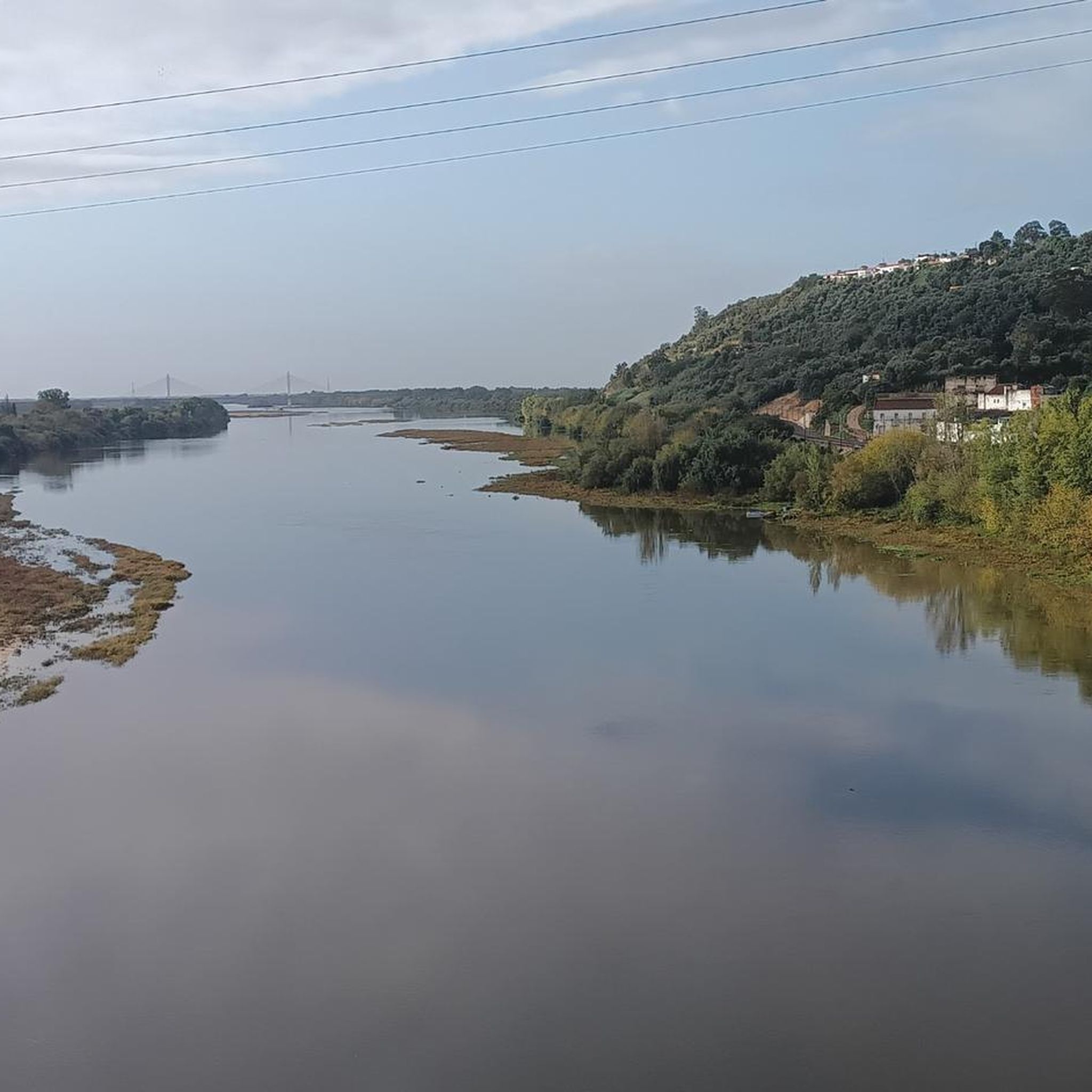
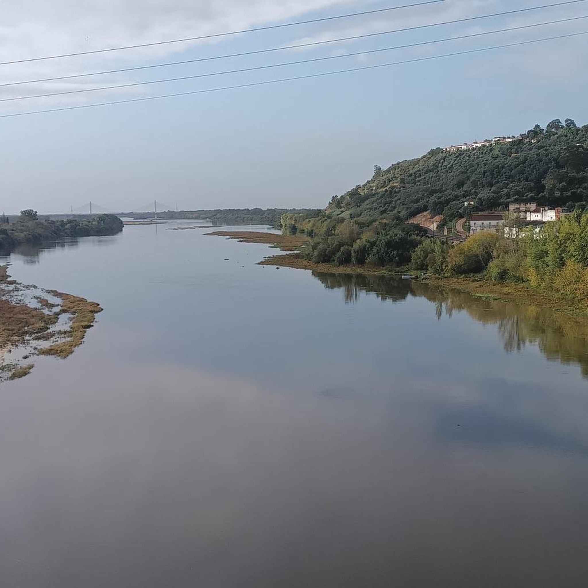
Absolutely. Many routes in the Vale De Cavalos area, especially those through the 'Campina' regions, run along the Tagus River. These sections provide scenic rides through agricultural fields with beautiful river views, characteristic of the Ribatejana landscape.
Are there any cafes or places to stop for refreshments along the routes?
Yes, you can find places to stop. For example, the Restaurant "O Moco" – "Estou no trabalho" cafe ("I'm at work" cafe!) loop from Vale de Cavalos specifically highlights local cafes and restaurants as points of interest along its 70 km path.
What is the general difficulty level of road cycling routes in Vale De Cavalos?
The routes in Vale De Cavalos offer a range of difficulty levels. While there are many easy and moderate routes, such as the Sra. do Pranto Viewpoint – Avó Mia loop from Alpiarça, which is moderate, the region also includes areas with higher elevations and woodlands that can provide more challenging rides for experienced cyclists.
Is there a significant long-distance cycling route that passes through Vale De Cavalos?
Yes, the 'Grande Rota da Charneca e da Campina' is an exciting journey that passes through Vale De Cavalos. This route spans five parishes within the Chamusca council, covering approximately 67 km with a medium technical difficulty and a medium/high physical demand, featuring an accumulated ascent of 696 meters.
Most popular routes around Vale De Cavalos
Most popular attractions around Vale De Cavalos

Get inspired with the komoot mobile app


Explore more
Browse the best Road cycling routes in other regions.
