The best walks and hikes around Alburitel
4.4
(132)
602
hikers
9
hikes
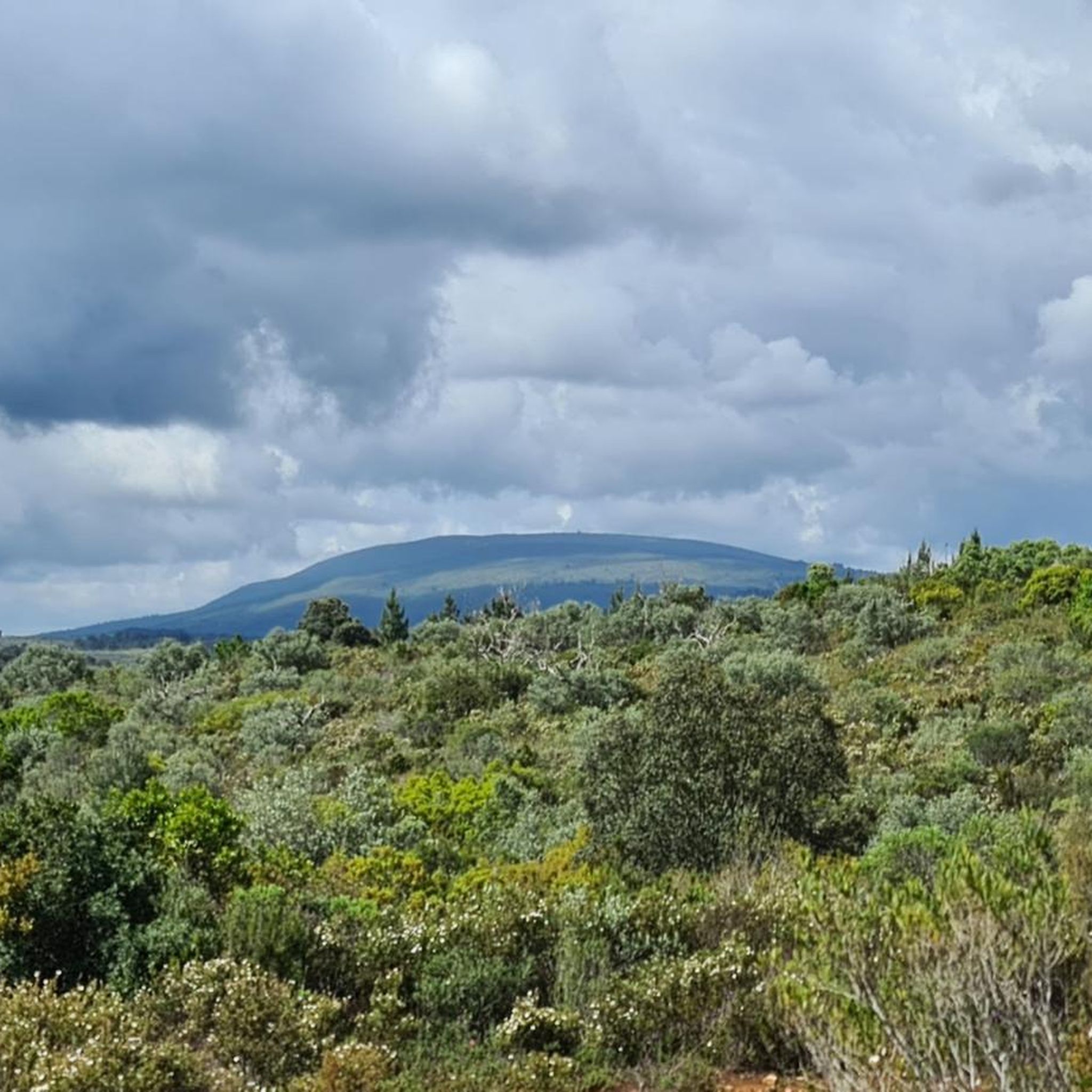
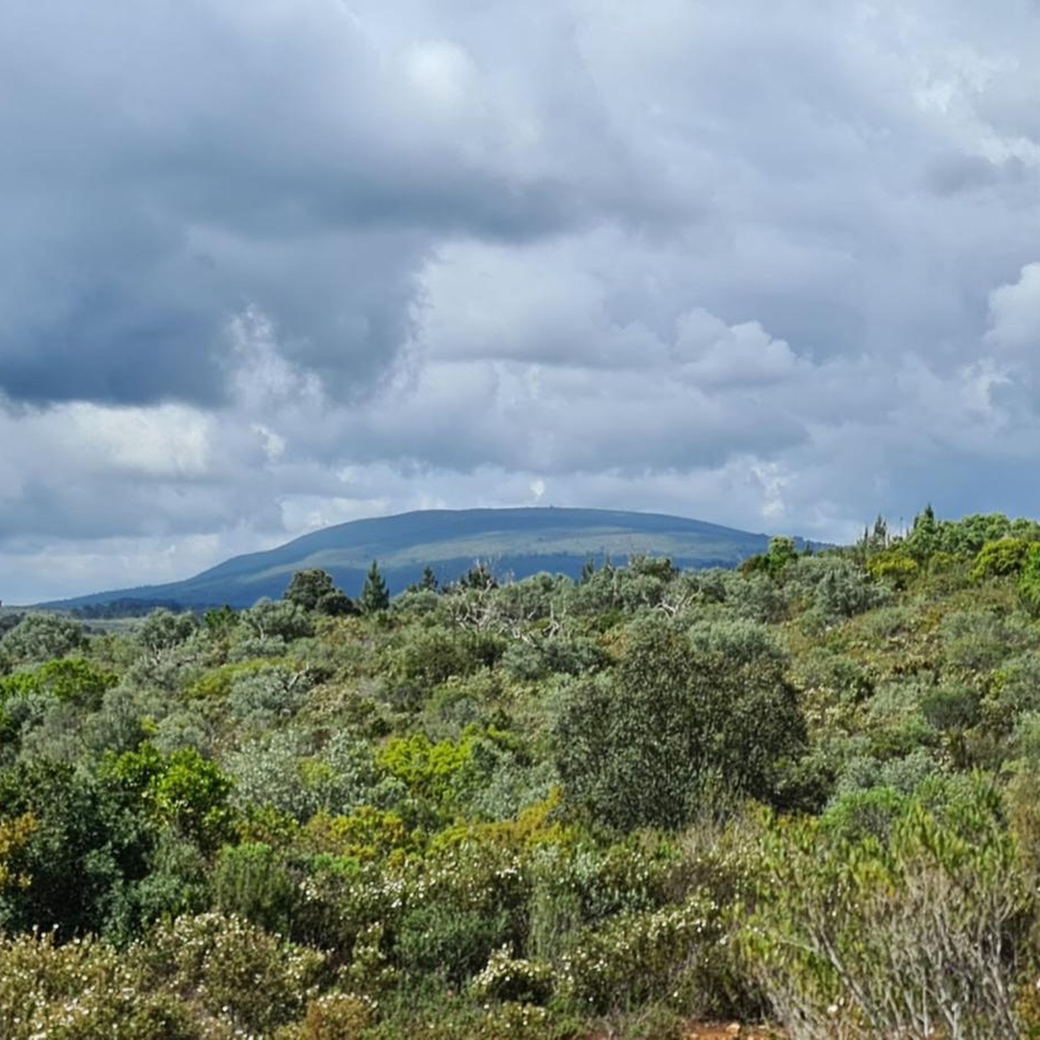
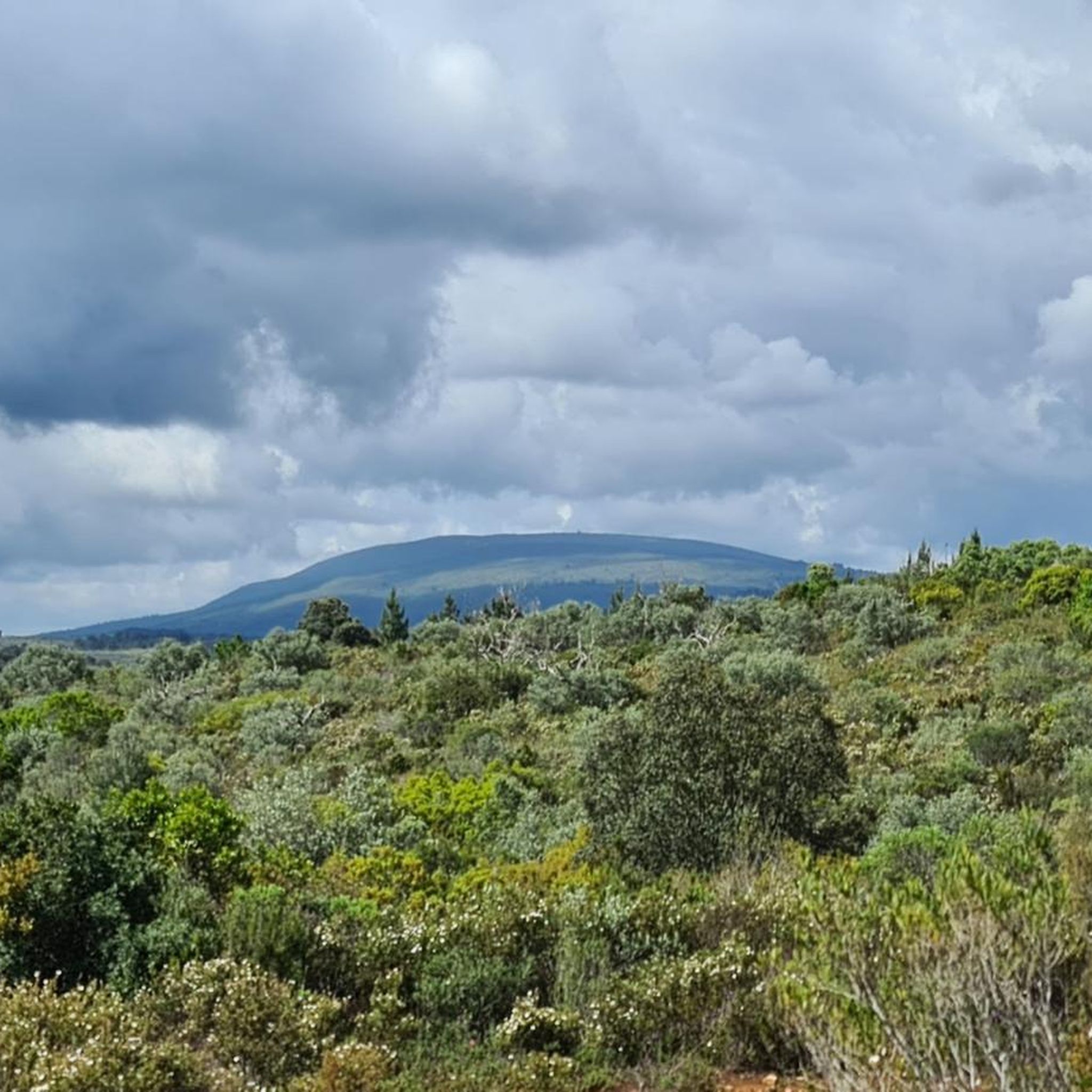
Hiking around Alburitel offers trails through a landscape characterized by panoramic slopes and significant forest occupation, alongside agricultural lands. The region, part of the broader Santarém district, features diverse natural beauty with routes winding through forests and past unique rock formations. These trails provide opportunities to explore the area's varied terrain and natural features.
Best hiking trails around Alburitel
- The most popular hiking route is Anunciada Trail (PR4), a 6.5 miles (10.5 km) trail that takes 2 hours 51…
Last updated: June 24, 2026
4.6
(5)
10
hikers
10.5km
02:51
150m
150m
Moderate hike. Good fitness required. Easily-accessible paths. Suitable for all skill levels.
4.5
(2)
7
hikers
6.51km
01:51
140m
140m
Easy hike. Great for any fitness level. Easily-accessible paths. Suitable for all skill levels.

Sign up for free
7
hikers
2.14km
00:33
10m
10m
Easy hike. Great for any fitness level. Easily-accessible paths. Suitable for all skill levels.
4.0
(3)
4
hikers
6.25km
01:47
140m
140m
Easy hike. Great for any fitness level. Easily-accessible paths. Suitable for all skill levels.
4.0
(1)
5
hikers
13.8km
04:10
440m
440m
Moderate hike. Good fitness required. Easily-accessible paths. Suitable for all skill levels.
Get access to more routes and recommendations from other explorers.
Sign up for free
Already have an account?
Our route recommendations are based on thousands of hikes, rides, and runs completed by other people on komoot.
Start today with a free account
Your next adventure awaits.
Login or Signup

Tips from the Community

Construction started on it in 1593 by Italian architect Filippo Terzi and ended in 1613. The aqueduct is nearly 6 km long (3.7 miles) and for centuries remained the most important source of water to the monks who lived in the Convento de Cristo. Most tourists will actually be surprised to find such a huge structure in a small city like Tomar.
1
1

Very large aqueduct, 6 km long. Best viewed from different spots. Be careful: if it has rained, there is water in parts of the channel and it is slippery.
4
2

Very beautiful aqueduct. You can freely go upstairs and see how it works.
1
1

Beware half way the side stops, and it is very high so don't fall
5
4

6 km long aqueduct that is still accessible. Sometimes after the rain, water also collects in the channel, in which water used to flow.
11
3
Frequently Asked Questions
How many hiking trails are available in Alburitel?
Alburitel offers a good selection of hiking routes, with 9 distinct trails available for exploration. These range from easy walks to more moderate challenges, catering to various fitness levels.
What kind of terrain can I expect on hikes around Alburitel?
The terrain around Alburitel is characterized by panoramic slopes, significant forest occupation, and agricultural lands. You can expect trails that wind through dense forests, open fields, and past unique rock formations, offering diverse natural beauty.
Are there any easy hiking trails suitable for beginners in Alburitel?
Yes, Alburitel has several easy trails. For instance, the Abrigo do Agroal loop from Agroal is an easy 4.0-mile (6.5 km) path that winds through natural areas, providing a gentle outdoor experience. There are 5 easy routes in total.
What are some notable landmarks or viewpoints to see while hiking in Alburitel?
While hiking, you can discover several interesting points. The Panoramic Swing of Talegre in the Serra d'Alburitel offers expansive views. The region also provides access to historical sites like the Convent of Christ and Castle of Tomar, and natural features such as the Serras de Aire e Candeeiros Natural Park.
Are there any circular hiking routes in Alburitel?
Yes, many of the trails in Alburitel are circular, allowing you to start and end at the same point. A popular example is the Anunciada Trail (PR4), a moderate 6.5-mile (10.5 km) loop that explores forests and offers scenic viewpoints.
Is Alburitel a good destination for family-friendly hikes?
Alburitel offers several easy routes that are suitable for families. Trails like the Hiking loop from Parque Natureza do Agroal are shorter and have minimal elevation gain, making them ideal for a family outing.
Can I bring my dog on the hiking trails in Alburitel?
Many natural areas in Portugal, including those around Alburitel, are generally dog-friendly, especially on marked trails. However, it's always recommended to keep your dog on a leash and check for specific local regulations or protected areas that might have restrictions.
What do other hikers enjoy most about hiking in Alburitel?
The hiking routes in Alburitel are highly rated by the komoot community, with an average score of 4.5 stars from over 100 reviews. Hikers often praise the diverse terrain, from panoramic slopes to dense forests, and the well-maintained paths that offer a rewarding outdoor experience.
What is the best time of year to go hiking in Alburitel?
While Alburitel can be enjoyed year-round, spring and autumn generally offer the most pleasant hiking conditions with milder temperatures and lush landscapes. Summers can be hot, so early morning or late afternoon hikes are recommended during that season.
Are there options for parking at the trailheads in Alburitel?
Specific parking information for each trailhead varies, but generally, areas popular for hiking, especially those near villages or natural parks, provide designated parking spaces. It's advisable to check the route details on komoot for specific parking recommendations for your chosen trail.
Are there any cafes or restaurants near the hiking routes in Alburitel?
Alburitel's advantageous geographical position, mediating the road connection between Ourém and Tomar, means visitors have access to amenities. While specific cafes directly on trailheads might be limited, you'll find options in the nearby towns and villages for refreshments and meals.
How can I get to the hiking trails in Alburitel using public transport?
Public transport options to Alburitel typically involve bus services connecting to larger towns like Ourém or Tomar. From there, local buses or taxis might be necessary to reach specific trailheads. Planning your journey in advance is recommended, as services can be less frequent in rural areas.
Most popular attractions around Alburitel

Get inspired with the komoot mobile app


Explore more
Browse the best Hikes in other regions.
