The best cycling routes around Outeiro Da Cortiçada
5.0
(2)
44
riders
12
rides
Touring cycling routes around Outeiro Da Cortiçada navigate a landscape characterized by rolling hills and agricultural areas, interspersed with historical sites and natural features. The region presents varied terrain, with elevations ranging from gentle slopes to more significant climbs, often providing views of the surrounding countryside. Cycling paths frequently pass through rural villages and offer glimpses of local architecture and traditional salt pans.
Best touring cycling routes around Outeiro Da Cortiçada
- The most popular touring cycling route is Mesquita loop…
Last updated: October 11, 2026
13
riders
44.0km
03:48
620m
620m
Hard bike ride. Very good fitness required. Mostly paved surfaces. Suitable for all skill levels.
5.0
(2)
6
riders
43.1km
02:50
460m
460m
Hard bike ride. Very good fitness required. Mostly paved surfaces. Suitable for all skill levels.

4
riders
38.8km
02:29
440m
440m
Moderate bike ride. Good fitness required. Mostly paved surfaces. Suitable for all skill levels.
1
riders
22.7km
01:32
280m
280m
Moderate bike ride. Good fitness required. Mostly paved surfaces. Suitable for all skill levels.
3
riders
29.2km
02:13
380m
380m
Moderate bike ride. Good fitness required. Mostly paved surfaces. Suitable for all skill levels.
Get access to more routes and recommendations from other explorers.
Already have an account?
Our route recommendations are based on thousands of hikes, rides, and runs completed by other people on komoot.
Start today with a free account
Your next adventure awaits.
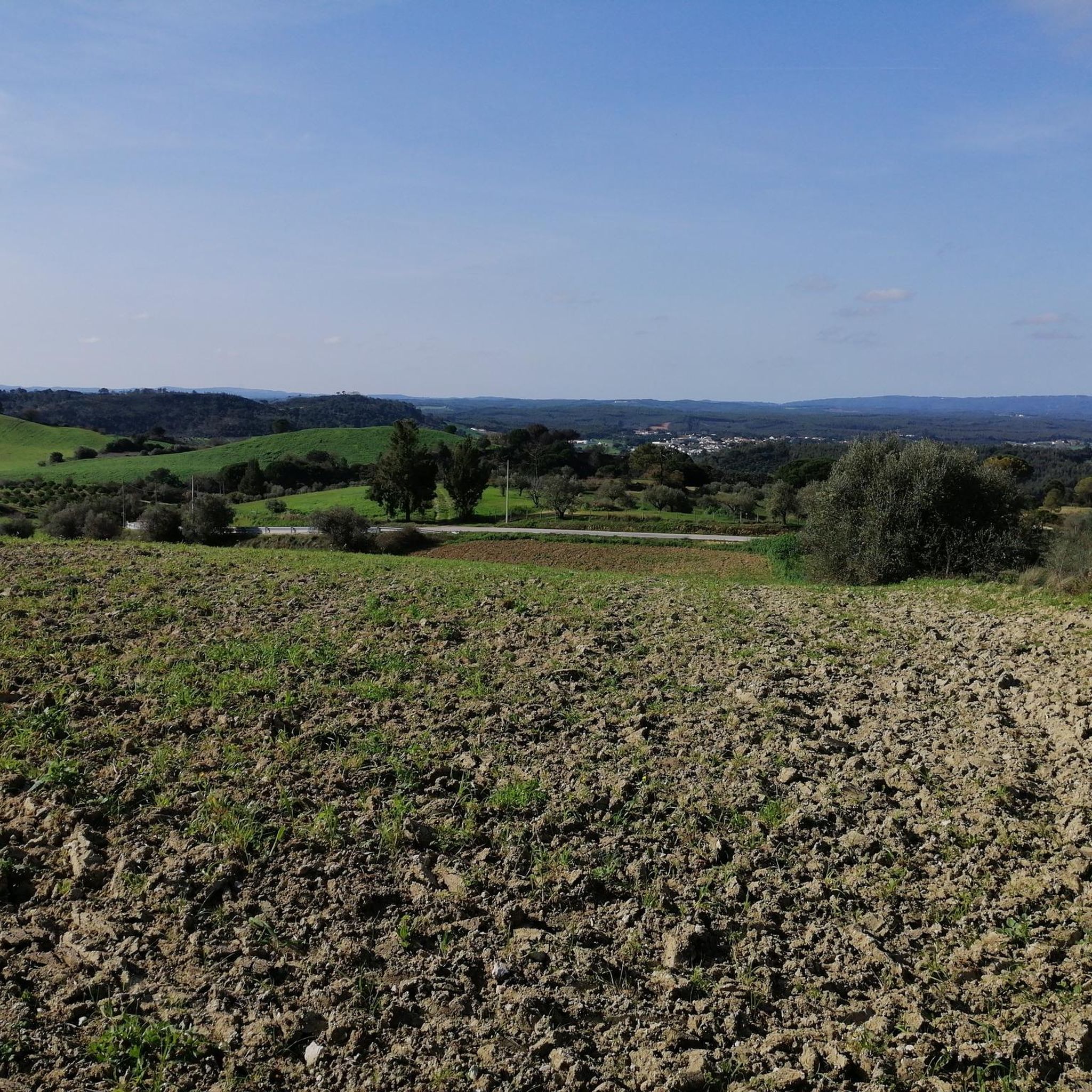
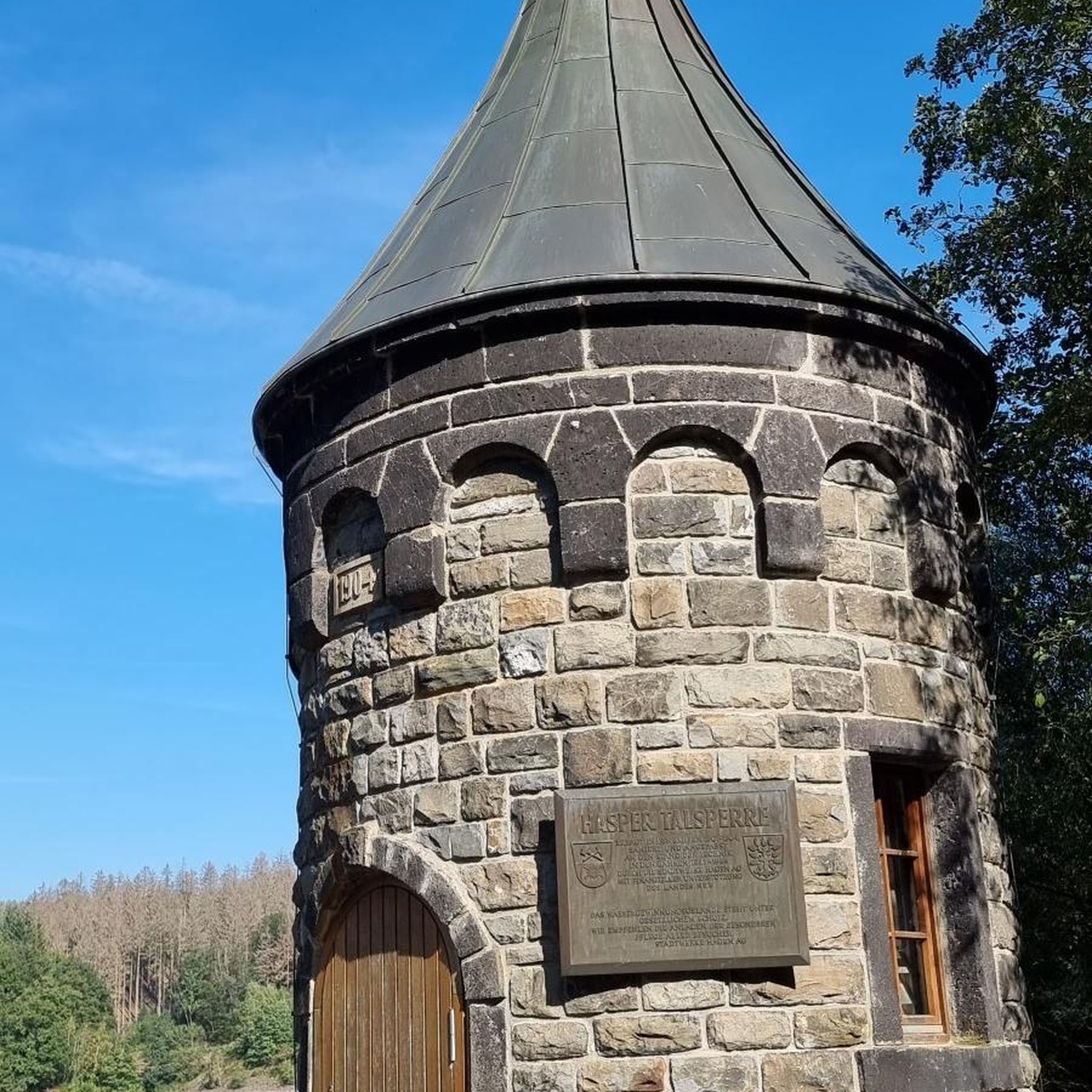
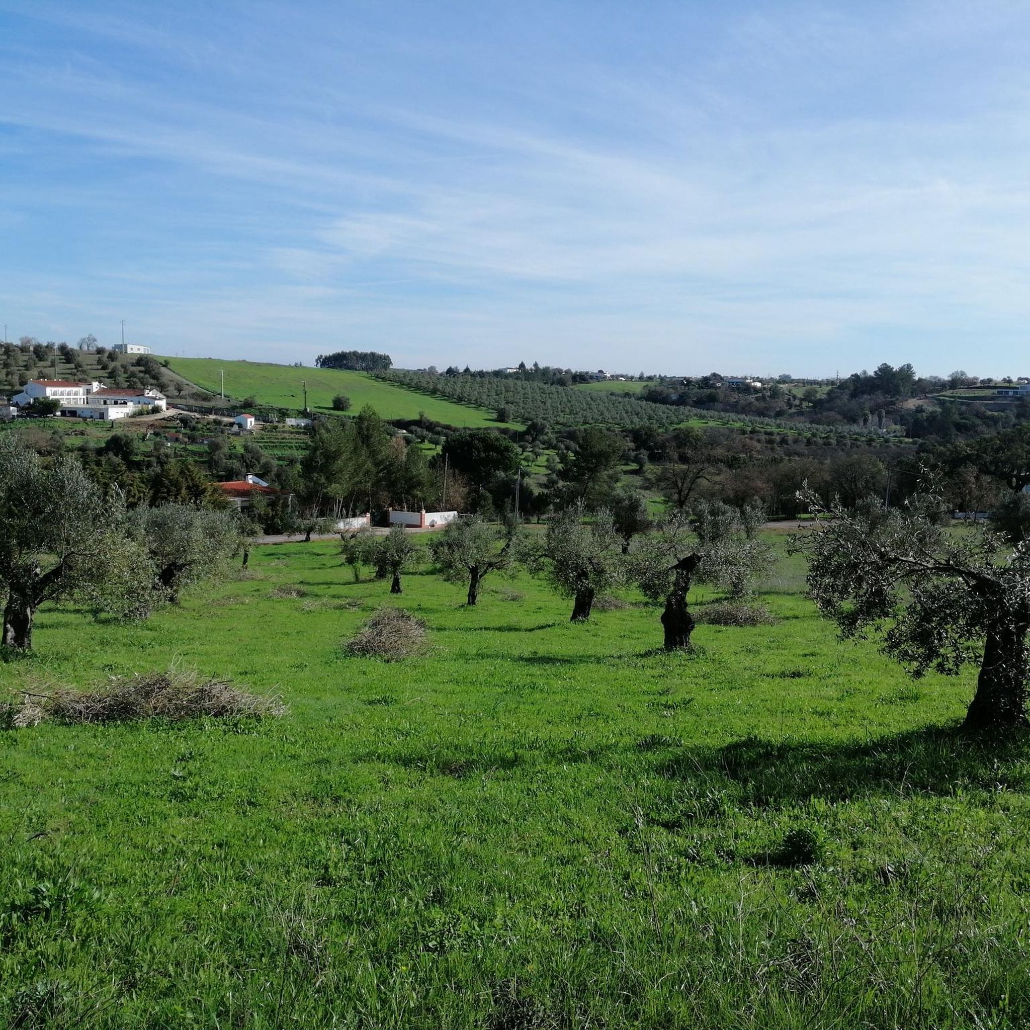
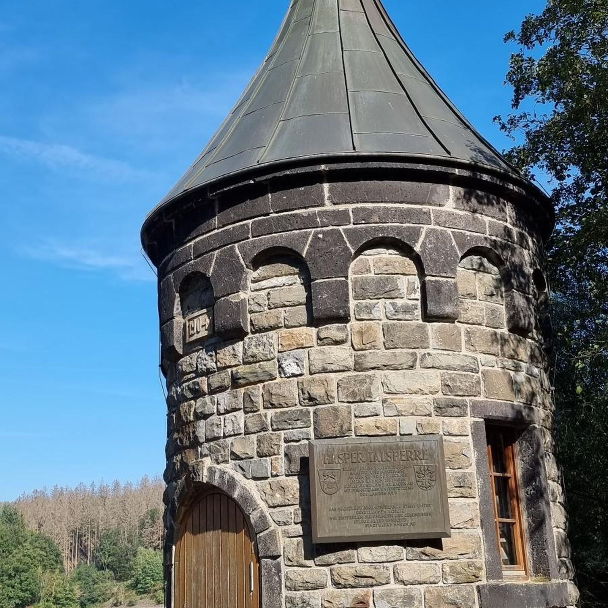
Tips from the Community

Salt is extracted from shallow, concrete or stone pans of varying sizes, where saltwater drawn from a well is conveyed through ditches. Currently, the water is pumped by a motor and distributed according to a system that is generally accepted and respected (not always) by all the owners. Drainpipes, threshing floors, and wooden salt storage houses complete the complex known as the Rio Maior Salt Pans. According to technicians, a large and deep rock salt mine, traversed by an underground stream that feeds a well, makes the extracted water salty, seven times saltier than seawater. The salt is obtained from its exposure to the sun and wind, and the resulting evaporation of the water. This salt is deposited at the bottom of the pans, which are then piled up in pyramid-shaped heaps to dry until harvest. The process is rudimentary and similar to that used in seaside salt mines. The only difference is the picturesque valley that surrounds them, the well, the unique style of the sailors (as the men who work in the salt mines are known), the wooden houses and the country air that you breathe.
0
0
Salt is extracted from compartments – pits – made of cement or stone, of varying sizes and shallow depths, to which salt water is taken from a well through irrigation channels. Currently, the water is raised by means of a motor and distributed according to a system that is jointly accepted and respected (not always) by all the owners. The sewers, threshing floors and wooden houses for storing salt complete the set of what is called the Salt Mines of Rio Maior. According to technicians, a large and deep rock salt mine, crossed by an underground current that feeds a well, makes the water extracted from it salty, seven times saltier than that of the sea. The salt is obtained from its exposure to the sun and wind and the consequent evaporation of the water, deposited at the bottom of the pits, which is then placed in pyramid-shaped piles to dry until it is collected. The process is rudimentary and similar to that used in the salt mines on the seashore. The only difference is the picturesque valley that surrounds them, the well, the unique style of the sailors (as the men who work in the salt mines are known), the wooden houses and the country air that can be breathed.
3
0

Just three kilometres from Rio Maior, on the southern tip of the Serra dos Candeeiros, lie the only inland salt pans in Portugal, and the only ones still active in the whole of Europe. Surrounded by vineyards and cultivated fields, they are a true wonder of nature, as the sea is 30 kilometres away. Their history dates back to at least 1177, but it is said that rock salt has been mined since prehistoric times. The water, seven times saltier than that of the ocean, emerges from a well after passing through an underground deposit, leaving behind the pure vestige of an ancient sea.
1
0
The palace was built by the superintendent Diogo Inácio de Pina Manique (1733-1805), who held several positions during the time of the Marquis of Pombal. His connection to the town, which came to be called Manique do Intendente and was initially called Alcoentrinho, and which belonged to the Order of Christ, dates back to the time of his uncle, who established a manor in favor of his nephew in 1773. Thus began a very ambitious project, which envisaged the creation of a town with a rationalist architectural design and which included, in addition to the palace (whose construction remained unfinished), the Town Hall, the pillory, the Palace of Justice and the church. This plan did not go ahead due to Pina Manique's removal from the position of superintendent and his premature death.
4
0
The palace was built by the superintendent Diogo Inácio de Pina Manique (1733-1805), who held several positions during the time of the Marquis of Pombal. His connection to the town, which came to be called Manique do Intendente and was initially called Alcoentrinho, and which belonged to the Order of Christ, dates back to the time of his uncle, who established a manor in favour of his nephew in 1773. Thus began a very ambitious project, which envisaged the creation of a town with a rationalist architectural design and which included, in addition to the palace (whose construction remained unfinished), the Town Hall, the pillory, the Palace of Justice and the church. This plan did not go ahead due to Pina Manique's removal from the position of superintendent and his premature death.
3
0
Founded in the year 970 of the Christian era (which is why it is currently considered an ancient town), during the reign of the Moorish king D. Ramiro III, it was first given the name of al-quniTrâ”, a diminutive of “al-qanTarâ”, or Alcântara, which means – the small bridge. Alcoentre received its first charter from D. Afonso Henriques in the city of Coimbra, in October 1174, and became the oldest administrative unit and local district in the municipality of Azambuja. Since Alcoentre was registered by the Crown, it remained “land of the king” (or land of the king) until D. Dinis. During this reign, it ceased to be land of the king, also known as Lavrador, and began a long journey as land of private manorial jurisdiction. This charter was reformulated by D. Manuel in Lisbon, on 26 September 1513.
3
0
The Rio Maior Salt Pans are located about 3 km from the city centre and are nestled in a valley at the foot of the Serra dos Candeeiros, in the heart of the Serras de Aire e Candeeiros Natural Park. Classified as a Property of Public Interest since December 1997, these are the only inland salt pans in Portugal, and the only ones in full operation in Europe. The first reference to their existence dates back to 1177, but it is thought that the use of rock salt was already being made in prehistoric times.
2
0

The Rio Maior Salt Pans are located about 3 km from the city center and nestled in a valley at the foot of the Serra dos Candeeiros, in the heart of the Serras de Aire e Candeeiros Natural Park. Classified as a Property of Public Interest since December 1997, these are the only inland salt pans in Portugal, and the only ones fully operational in Europe. The first reference to their existence dates back to 1177, but it is thought that rock salt mining has been practiced since prehistoric times. Surrounded by vineyards and farmland, they are considered a natural wonder, as the ocean is 30 km away. The salt is a vestige of the sea's presence in ancient times. The water, about seven times saltier than seawater, comes from a well after passing through a rock salt deposit. Visit the Salinas Tourist Office for information, maps, and guided tours. How to Get There: Latitude +39° 21' 52.57, Longitude -8° 56' 40.62
0
0
Frequently Asked Questions
How many touring cycling routes are available in Outeiro Da Cortiçada?
There are over a dozen touring cycling routes around Outeiro Da Cortiçada, offering a variety of experiences across its rolling hills and agricultural landscapes.
What kind of terrain can I expect on touring cycling routes in Outeiro Da Cortiçada?
The region features varied terrain, from gentle slopes to more significant climbs, often providing panoramic views of the surrounding countryside. Routes frequently pass through rural villages and agricultural areas, including traditional salt pans.
Are there any family-friendly touring cycling routes in Outeiro Da Cortiçada?
While many routes involve moderate to difficult ascents, some sections are suitable for families. For a route with a moderate difficulty that explores local features, consider the Salinas de Rio Maior – Salinas Rio Major loop from Rio Maior, which is about 22.7 km long.
What are some interesting landmarks or attractions to see along the cycling routes?
Cyclists can discover several points of interest. The Salinas de Rio Maior – Salinas Rio Major loop from Rio Maior passes by the unique Rio Maior Salt Pans. Other notable attractions in the wider area include the Assentiz Roman Bridge and the Royal Monastery of St. Mary of Almoster.
Are there any circular touring cycling routes in the area?
Yes, many routes in Outeiro Da Cortiçada are designed as loops. For example, the Mesquita loop from Azoia de Baixo is a challenging 44.0 km circular route, and the Salinas Rio Major – Salinas de Rio Maior loop from Rio Maior offers a moderate 29.2 km ride.
What is the best time of year for touring cycling in Outeiro Da Cortiçada?
The region generally offers pleasant cycling conditions during spring and autumn, when temperatures are milder. Summers can be hot, especially in the middle of the day, while winters are typically mild but can bring rain. Always check the local weather forecast before heading out.
Are there routes suitable for advanced touring cyclists?
Absolutely. Outeiro Da Cortiçada offers several challenging routes with significant ascents. The Pina Manique Palace – View of Alcoentre loop from Rio Maior is a difficult 43.1 km path featuring panoramic views and historical landmarks, ideal for experienced riders.
What do other touring cyclists say about the routes in Outeiro Da Cortiçada?
The routes in Outeiro Da Cortiçada are highly rated by the komoot community, with an average score of 5.0 stars. Cyclists often praise the varied rural landscapes, the views of the Serra de Todo-o-Mundo, and the opportunity to explore traditional villages and historical sites.
Are there any routes that offer scenic viewpoints?
Many routes provide excellent viewpoints due to the region's rolling hills. The View of Serra de Todo-o-Mundo – Figueirós Church loop from Rio Maior, for instance, leads through hilly terrain with impressive vistas of the Serra de Todo-o-Mundo.
What should I pack for a touring cycling trip in Outeiro Da Cortiçada?
Given the varied terrain and potential for longer rides, it's advisable to pack essentials such as water, snacks, sun protection, a basic repair kit, and appropriate cycling attire. Layers are recommended, especially during spring and autumn, to adapt to changing temperatures.
Are there opportunities for wildlife spotting along the bike paths?
Cycling through the rural and agricultural areas of Outeiro Da Cortiçada can offer glimpses of local wildlife, particularly various bird species. Keep an eye out in quieter, less developed sections of the routes.
How long do the touring cycling routes typically take to complete?
Route durations vary based on distance and difficulty. For example, the moderate View of Serra de Todo-o-Mundo – Figueirós Church loop from Rio Maior, at 38.7 km, typically takes around 2 hours 27 minutes, while more challenging routes can take upwards of 3 to 4 hours.
Most popular routes around Outeiro Da Cortiçada
Most popular attractions around Outeiro Da Cortiçada

Get inspired with the komoot mobile app


Explore more
Browse the best Cycling routes in other regions.
