
The best running trails around Salvaterra De Magos
3.0
(1)
32
runners
9
runs
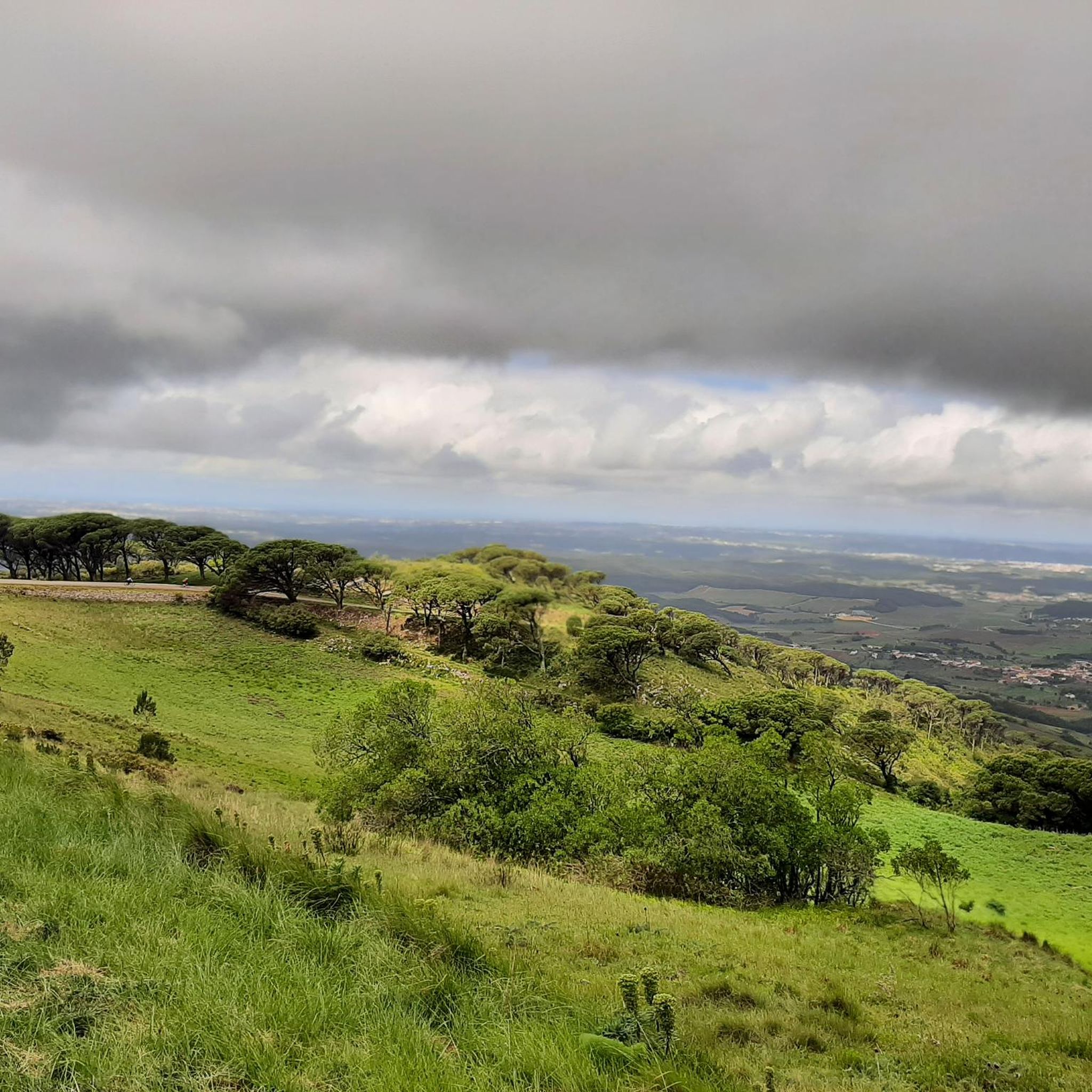
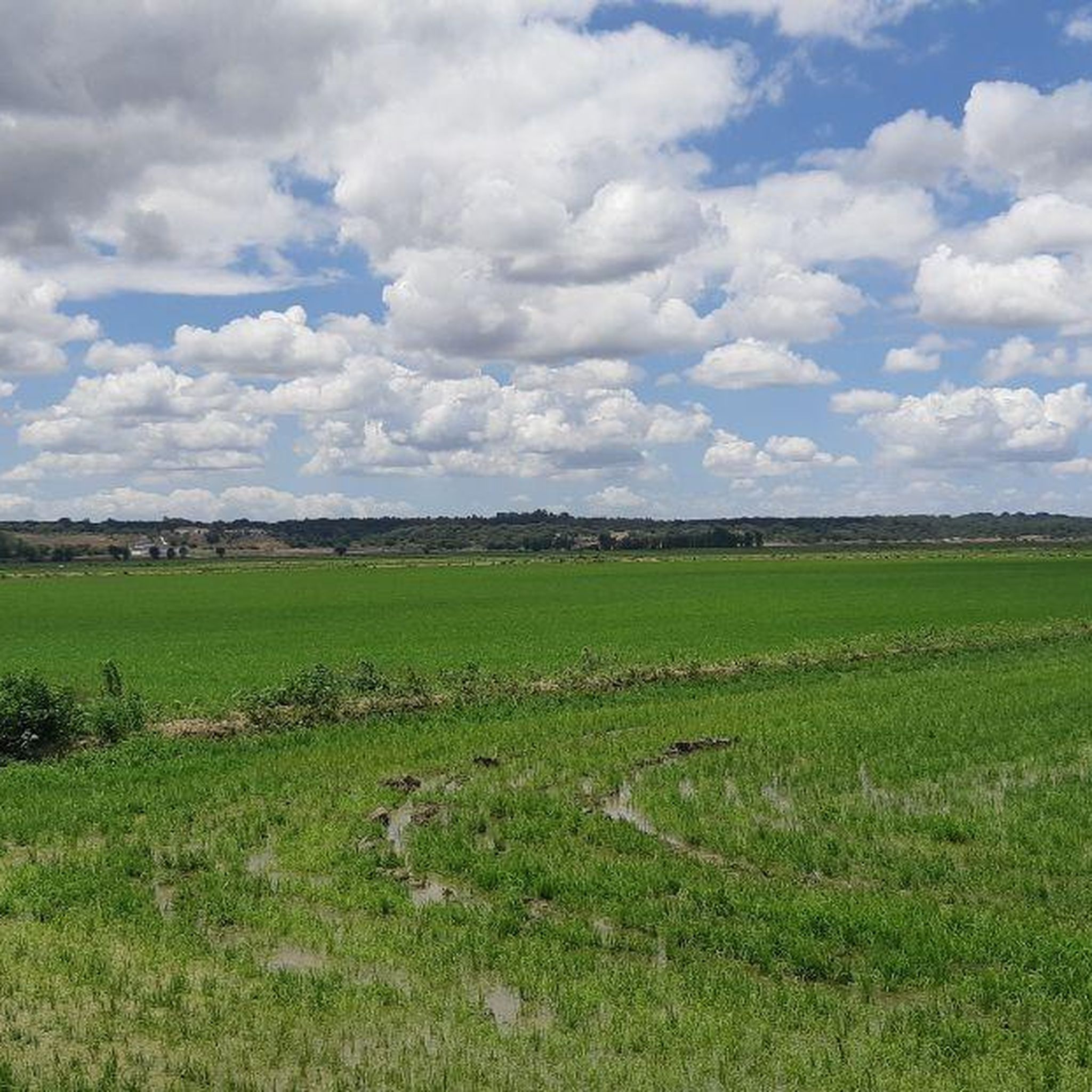
Jogging around Salvaterra De Magos offers routes through the flat, open "lezíria" landscape, characterized by its proximity to the Tagus River. The region features expansive fields and wetlands, providing a serene backdrop for outdoor exercise. Escaroupim National Forest also presents trails suitable for running, with views of the river and Garças Island. The terrain is generally flat, with minimal elevation changes, making it accessible for various running abilities.
Best jogging routes around Salvaterra De Magos
- The most popular jogging route…
Last updated: July 11, 2026
4
runners
7.17km
00:48
30m
30m
Moderate run. Good fitness required. Mostly paved surfaces. Suitable for all skill levels.
4
runners
19.2km
02:14
40m
40m
Hard run. Very good fitness required. Mostly paved surfaces. Suitable for all skill levels.

Sign up for free
5
runners
9.57km
00:59
20m
20m
Moderate run. Good fitness required. Mostly paved surfaces. Suitable for all skill levels.
3
runners
8.29km
00:59
10m
10m
Moderate run. Good fitness required. Mostly paved surfaces. Suitable for all skill levels.
2
runners
12.2km
01:15
30m
30m
Moderate run. Good fitness required. Mostly paved surfaces. Suitable for all skill levels.
Get access to more routes and recommendations from other explorers.
Sign up for free
Already have an account?
Our route recommendations are based on thousands of hikes, rides, and runs completed by other people on komoot.
Start today with a free account
Your next adventure awaits.
Login or Signup
Popular around Salvaterra De Magos
Frequently Asked Questions
How many running routes are available in Salvaterra De Magos?
There are over 10 running routes documented on komoot for Salvaterra De Magos, offering various options for your outdoor exercise.
Are there any easy running routes for beginners in Salvaterra De Magos?
While there are no routes specifically marked as 'easy' in the komoot guide, many of the 8 moderate routes feature the region's generally flat terrain, making them suitable for beginners. For example, the Câmara Municipal de Benavente loop from Benavente is a 4.5-mile (7.2 km) trail with minimal elevation changes, ideal for a steady run.
What kind of natural features can I expect to see along the running paths in Salvaterra De Magos?
Jogging routes in Salvaterra De Magos are defined by the serene Tagus River, the expansive 'lezíria' (floodplain) landscape with its vast, open fields, and the Escaroupim National Forest. You'll encounter wetlands, rice fields, and may even spot migratory birds. The Caminho do Tejo – Esteiros and Valadas Segment is a dirt road offering amazing views of the Lezíria.
Are there any circular running routes in Salvaterra De Magos?
Yes, many of the routes in Salvaterra De Magos are circular, providing convenient starting and ending points. Popular options include the Câmara Municipal de Benavente loop from Benavente, the Rio Sorraia loop from Benavente, and the Falcoaria Real loop from Salvaterra de Magos.
Are the running trails in Salvaterra De Magos suitable for families?
The generally flat terrain of Salvaterra De Magos, particularly through the lezíria landscape and parts of the Escaroupim National Forest, makes many routes suitable for families. Trails with minimal elevation gain, like the Câmara Municipal de Benavente loop, are good choices for a family run or walk.
What are some scenic running routes in Salvaterra De Magos?
For scenic runs, consider routes that follow the Tagus River or traverse the open lezíria fields. The Rio Sorraia loop from Benavente offers open views of the river and surrounding fields. Additionally, the Escaroupim National Forest provides trails with extensive views of the Tagus and Garças Island.
Are there any long-distance running trails for advanced runners?
Yes, for advanced runners seeking longer distances, the Rio Sorraia loop from Benavente is a challenging 11.9-mile (19.2 km) path. This route allows for a more extended run through the region's characteristic landscapes.
What attractions or landmarks can I see near the running routes?
Along or near the running routes, you can discover several interesting points. The Ponte Rainha D. Amélia offers superb views of the Tagus. You might also pass through the charming Valada Village, which features a river beach and picnic area. The Escaroupim Fishing Village is another picturesque spot along the Tagus River.
Is there parking available near the running trails in Salvaterra De Magos?
Many of the running routes in Salvaterra De Magos, particularly those starting from towns like Benavente or Salvaterra de Magos, typically have accessible parking options nearby. The open nature of the region's landscapes also often provides convenient roadside parking near trailheads.
What is the best time of year to go jogging in Salvaterra De Magos?
The flat, open landscapes of Salvaterra De Magos are generally pleasant for jogging throughout much of the year. Spring and autumn offer milder temperatures, ideal for outdoor exercise. During summer, it's advisable to run early in the morning or late in the afternoon to avoid the midday heat.
What do other runners enjoy most about jogging in Salvaterra De Magos?
Runners often praise the tranquility and natural beauty of the region. The flat terrain, expansive views of the Tagus River and lezíria fields, and the peaceful atmosphere of areas like the Escaroupim National Forest are frequently highlighted as enjoyable aspects of running in Salvaterra De Magos.
Are there any running routes that pass through the Escaroupim National Forest?
Yes, the Escaroupim National Forest offers trails suitable for jogging. These routes provide extensive views of the Tagus River, Garças Island, and the village of Valada on the opposite shore, making for a scenic and refreshing run.
Most popular routes around Salvaterra De Magos
Most popular attractions around Salvaterra De Magos

Get inspired with the komoot mobile app


Explore more
Browse the best Running Trails & Routes in other regions.
