The best road cycling routes around Gaildorf
4.5
(690)
7,742
riders
56
rides
Road cycling routes around Gaildorf traverse a diverse landscape in northeastern Baden-Württemberg, Germany. The region is characterized by its idyllic countryside, featuring wooded heights on both sides of the Kocher River and the notable Limpurg mountains. This varied topography provides a network of routes suitable for different preferences and fitness levels, with options ranging from riverside paths to challenging ascents.
Best road cycling routes around Gaildorf
- The most popular road cycling route is Starkholzbacher Lake – Obermühle–Oberrot Cycle Path loop…
Last updated: July 5, 2026
4.6
(18)
160
riders
Moderate road ride. Good fitness required. Mostly well-paved surfaces and easy to ride.
4.6
(12)
95
riders
40.1km
01:45
240m
240m
Moderate road ride. Great for any fitness level. Some segments of this route may be unpaved and difficult to ride.

Sign up for free
4.8
(5)
65
riders
32.3km
01:18
170m
170m
Easy road ride. Great for any fitness level. Mostly well-paved surfaces and easy to ride.
3.0
(1)
24
riders
Moderate road ride. Good fitness required. Some segments of this route may be unpaved and difficult to ride.
5.0
(3)
21
riders
49.3km
02:37
490m
490m
Moderate road ride. Good fitness required. Some segments of this route may be unpaved and difficult to ride.
Get access to more routes and recommendations from other explorers.
Sign up for free
Already have an account?
Our route recommendations are based on thousands of hikes, rides, and runs completed by other people on komoot.
Start today with a free account
Your next adventure awaits.
Login or Signup
Popular around Gaildorf
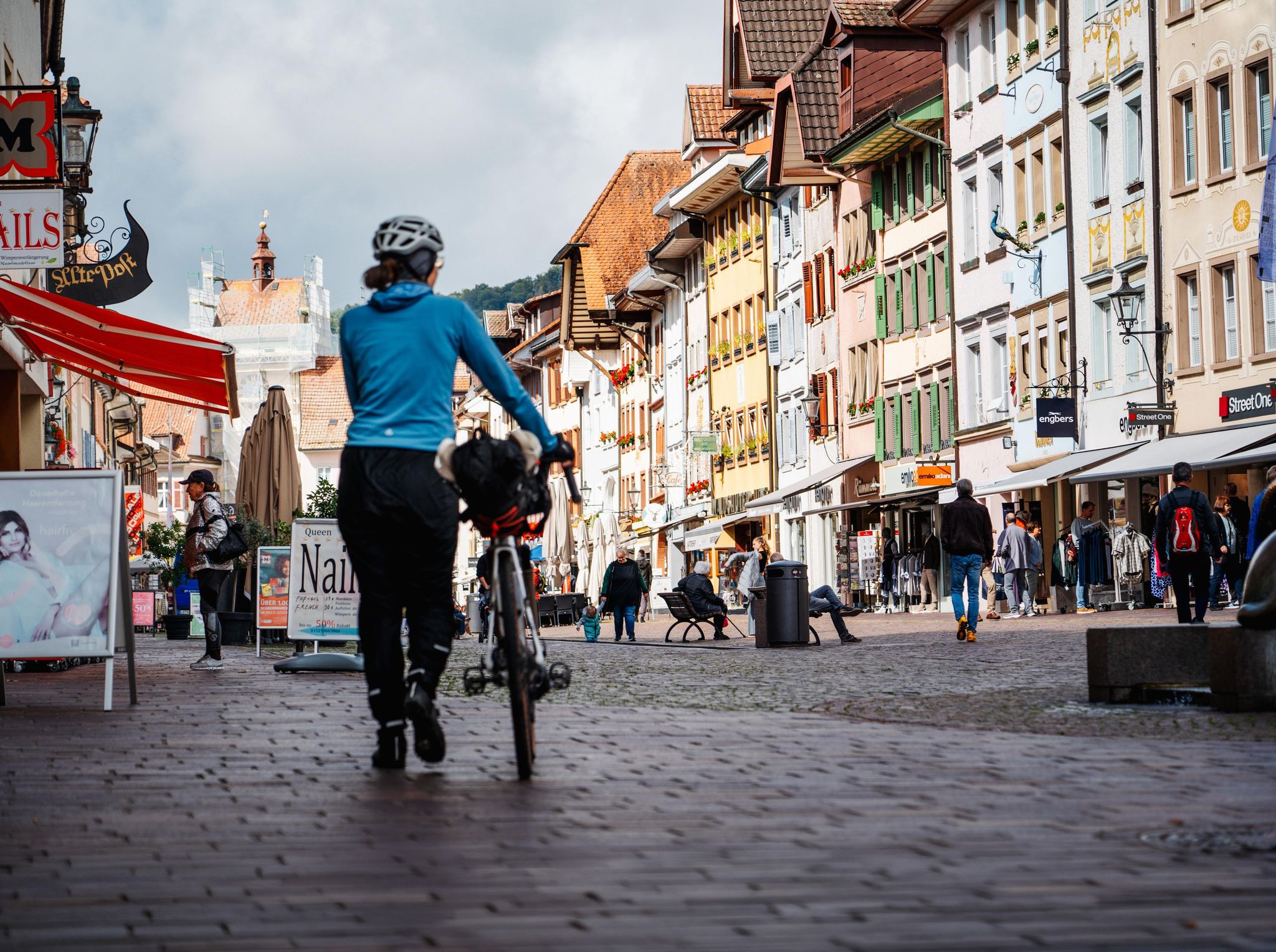
Adventure on two wheels – overnight cycling trips in Baden-Württemberg
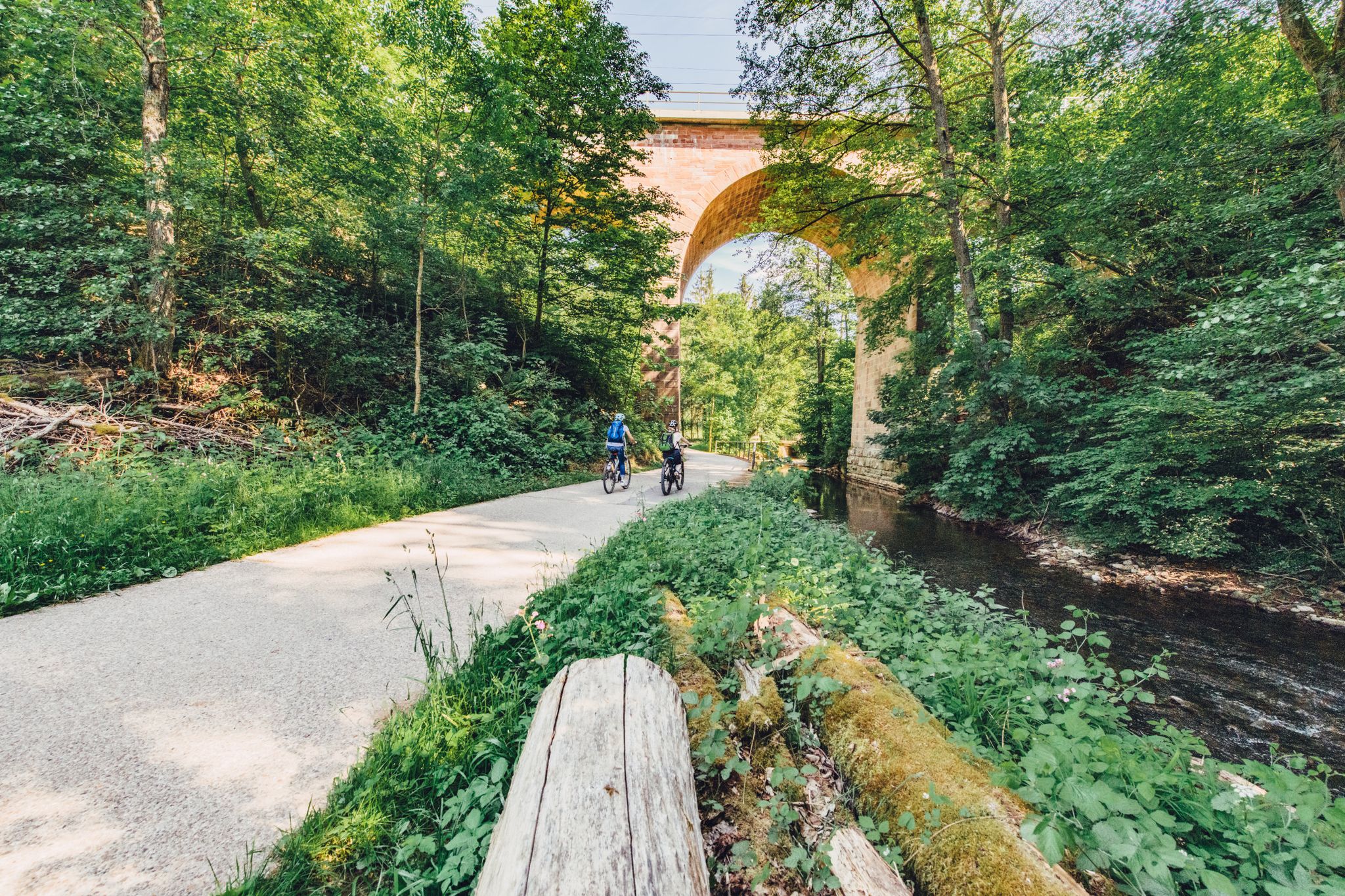
Weekend rides along the Kocher, Jagst and Neckar rivers in Germany

33 MTB trails through German forests
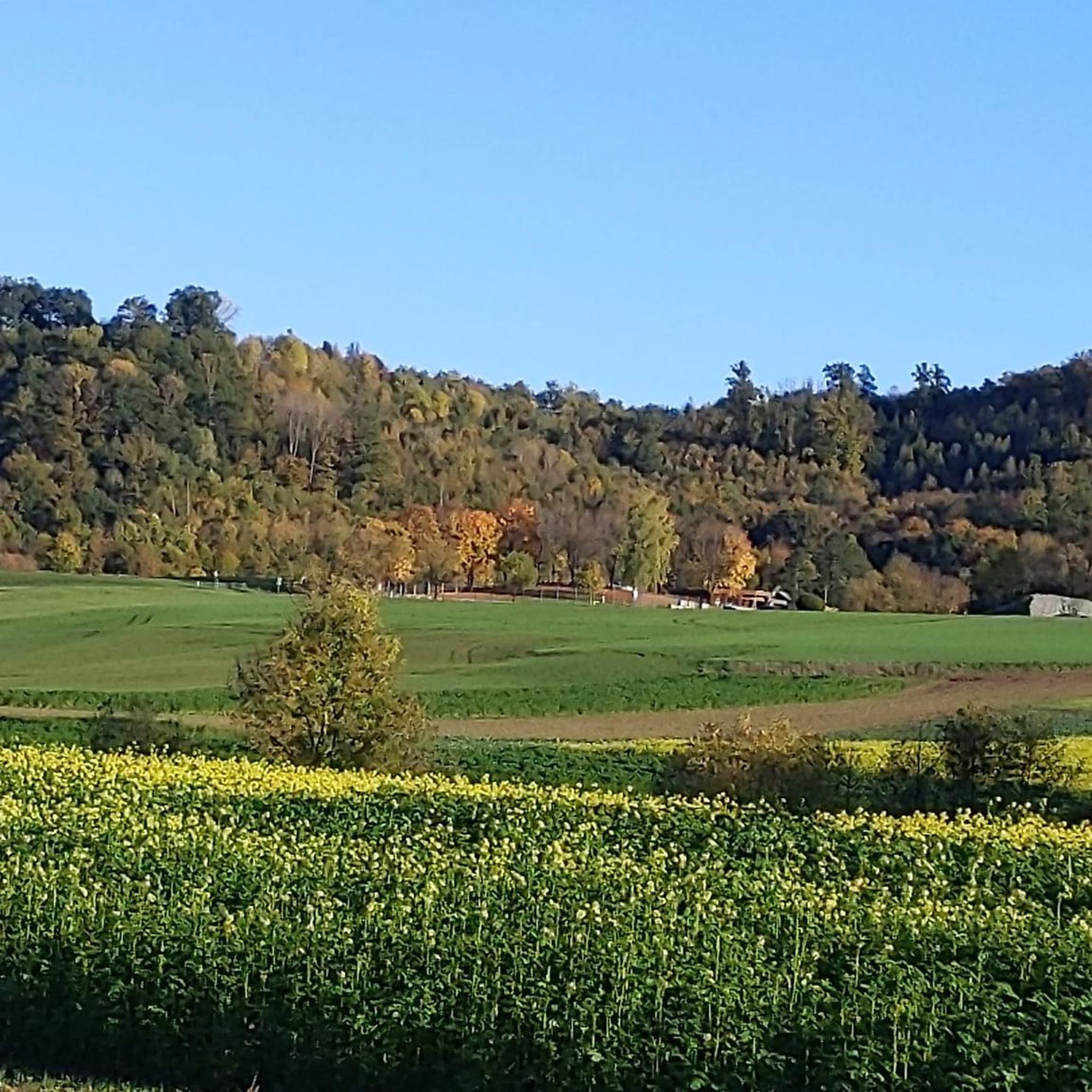
Cycling around Gaildorf
Hiking around Gaildorf
MTB Trails around Gaildorf
Running Trails around Gaildorf

Gravel biking around Gaildorf
Other adventures around Gaildorf


Tips from the Community

An impressive castle perched just above Untergröningen.
0
0

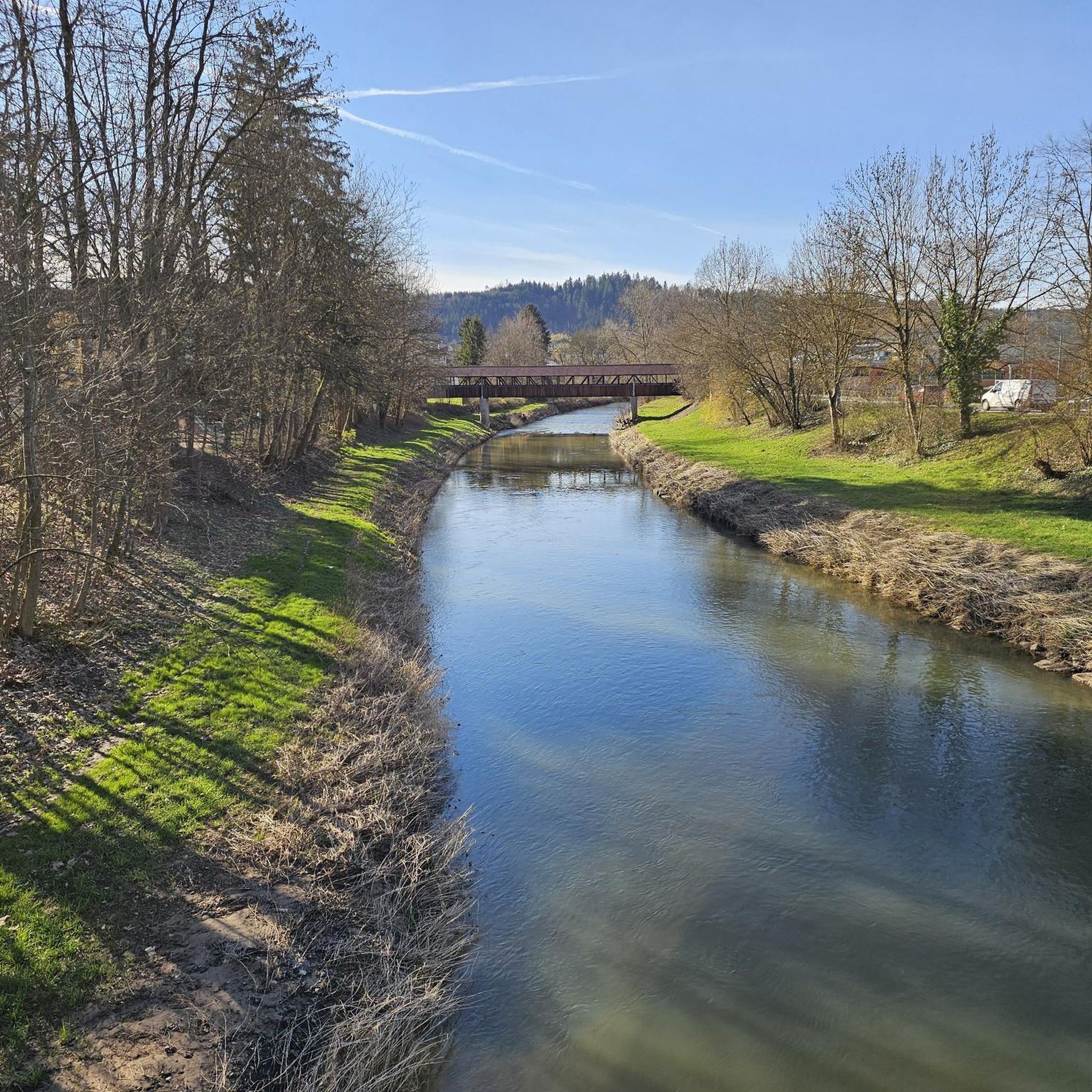
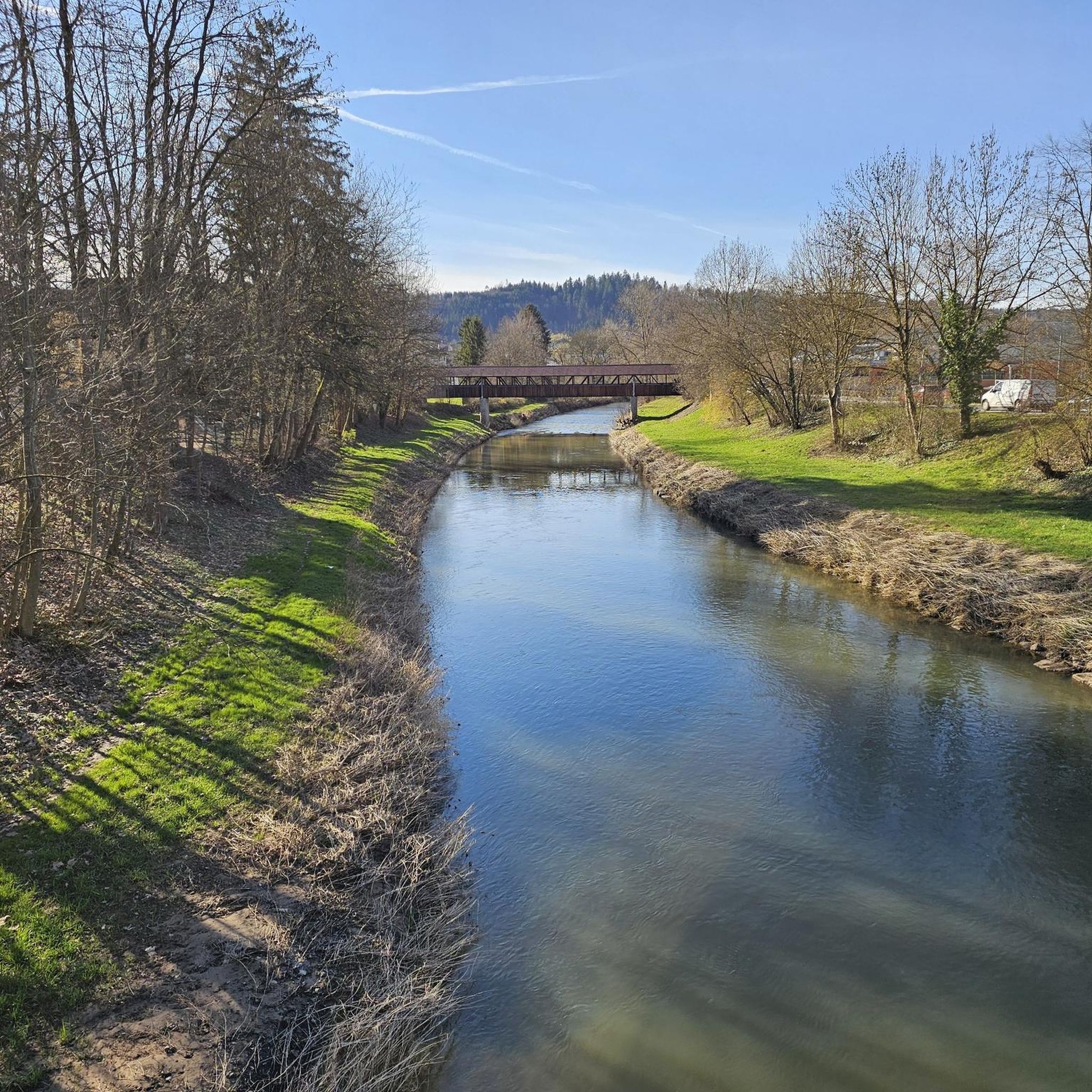
Very nice covered bridge over the Kocher.
0
0

Untergröningen Castle near Abtsgmünd stands on a mountain above the Kocher Valley. Originally built in the 16th century in the Renaissance style, it was remodeled in the 18th century in the Baroque style.
2
0

Here you can see the monastery Super
1
0
Good idea, especially after the store closes.
0
0
Imposing Comburg which sits enthroned on the hill
2
0
Cycle highway to avoid the climb
0
0
Frequently Asked Questions
What kind of terrain can I expect on road cycling routes around Gaildorf?
The Gaildorf region offers a diverse landscape for road cyclists, characterized by the idyllic Kocher River valley, wooded heights, and the notable Limpurg mountains. You'll find a mix of riverside paths, rolling hills, and some significant ascents, providing varied challenges for different fitness levels.
Are there road cycling routes suitable for beginners or those looking for an easy ride?
Yes, Gaildorf offers several easy road cycling routes. For instance, the Kocherschleife Covered Bridge – Lamm Inn Brewery loop from Gaildorf is an easy 32.3 km route with moderate elevation gain, perfect for a relaxed ride through the Kocher River landscape.
What are some notable landmarks or viewpoints I can see while road cycling in Gaildorf?
Road cycling routes in Gaildorf often pass by historical sites and natural attractions. You can explore the historic Old Town and Castle, or cycle past the Starkholzbacher Lake. The region also features the Felsenmeer, Murrhardt, a unique natural monument with impressive boulders, which can be a destination or a point of interest on longer rides.
Are there any circular road cycling routes in the Gaildorf area?
Many of the road cycling routes around Gaildorf are designed as loops, allowing you to start and end in the same location. An example is the Hangman's Bridge, Schwäbisch Hall – Comburg Abbey loop from Gaildorf West, a moderate 38 km route that offers a scenic circular tour.
What is the best time of year for road cycling in Gaildorf?
The best time for road cycling in Gaildorf is generally from spring through autumn (April to October). During these months, the weather is typically mild and pleasant, making for enjoyable rides through the scenic countryside. Summer offers longer daylight hours, while spring and autumn provide beautiful foliage.
Are there options for parking when starting a road cycling route in Gaildorf?
Yes, Gaildorf offers various parking options, especially in the town center and at common starting points for outdoor activities. Many routes can be accessed from areas with public parking, making it convenient to begin your ride.
Can I reach Gaildorf by public transport with my bike?
Gaildorf is accessible by public transport. While specific bike transport policies vary by operator and time, regional trains and buses often allow bikes outside of peak hours. It's advisable to check with the local transport providers (e.g., Deutsche Bahn or regional bus services) for their current regulations regarding bicycle carriage before your trip.
Are there any family-friendly road cycling routes in Gaildorf?
While road cycling routes are generally designed for speed and distance, some of the easier, flatter sections along the Kocher River can be suitable for families with older children who are comfortable on roads. Always check the route's difficulty and elevation profile to ensure it matches your family's abilities.
What do other road cyclists enjoy most about road cycling in Gaildorf?
The komoot community highly rates road cycling in Gaildorf, with an average score of 4.6 stars from over 60 reviews. Cyclists often praise the varied terrain, from picturesque river valleys to challenging climbs in the Limpurg mountains, and the well-maintained routes that showcase the region's natural beauty and historical charm.
Are there cafes or places to stop for refreshments along the road cycling routes?
Yes, Gaildorf and its surrounding districts offer gastronomic options. You'll find cafes and inns, such as the Heinlesmühle Watermill & Café, where you can stop for refreshments. Many routes pass through villages or near the town center, providing opportunities for a break.
What is the overall difficulty level of road cycling routes in Gaildorf?
Gaildorf offers a good mix of difficulty levels. Out of 52 available routes, 7 are considered easy, 29 are moderate, and 16 are difficult. This means you can find everything from gentle rides along the river to more challenging routes with significant elevation gains in the hilly terrain.
Are there any specific permits required for road cycling in the Gaildorf area?
No specific permits are generally required for road cycling on public roads and designated cycle paths in the Gaildorf area. You are free to explore the region's routes without needing special permissions.
Most popular routes around Gaildorf
Most popular attractions around Gaildorf

Get inspired with the komoot mobile app


Explore more
Browse the best Road cycling routes in other regions.
